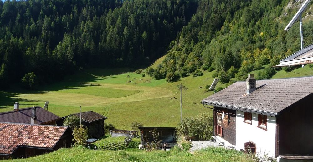
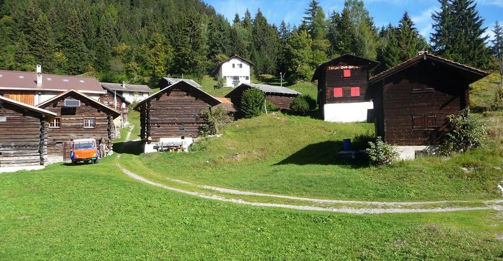
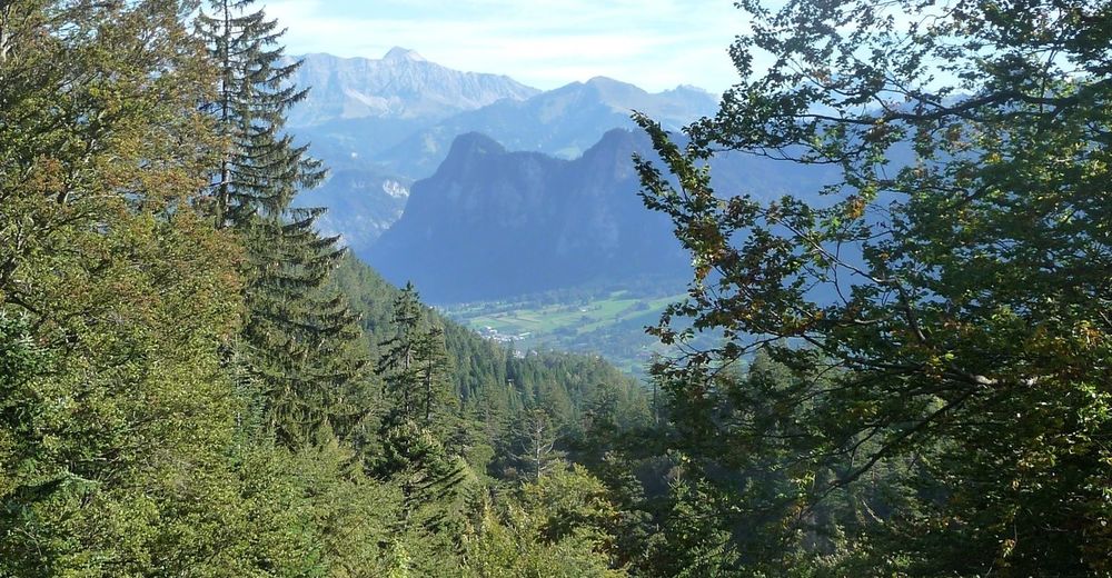
© Heidiland Tourismus - Werner Forrer
© Heidiland Tourismus - Werner Forrer
© Heidiland Tourismus - Werner Forrer
© Heidiland Tourismus - Werner Forrer
© Heidiland Tourismus - Werner Forrer
© Heidiland Tourismus - Werner Forrer
© Heidiland Tourismus - Werner Forrer

- Brève description
-
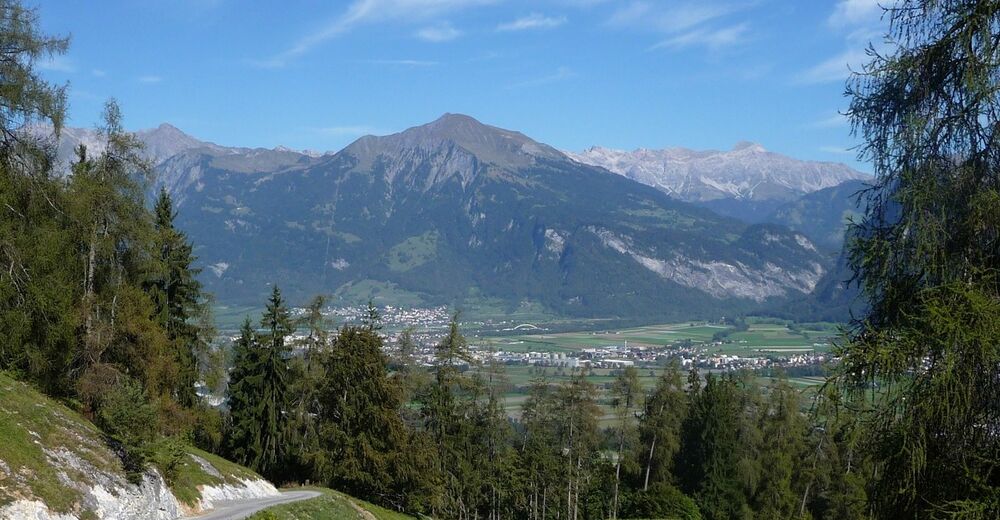
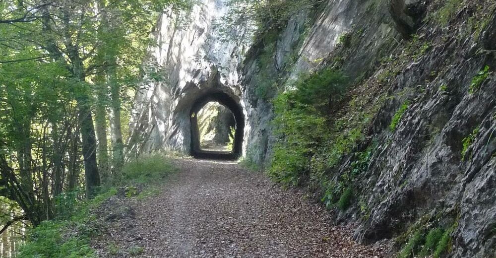
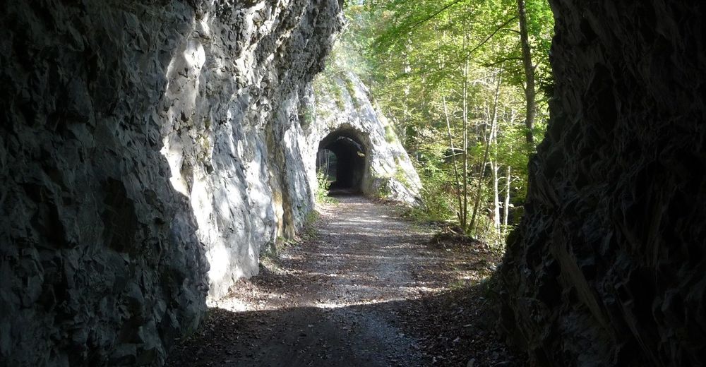
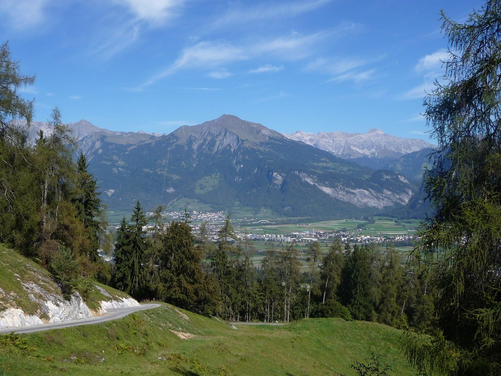
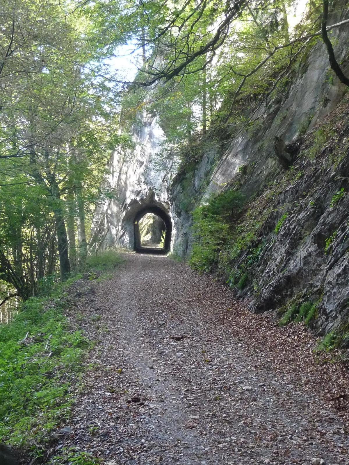
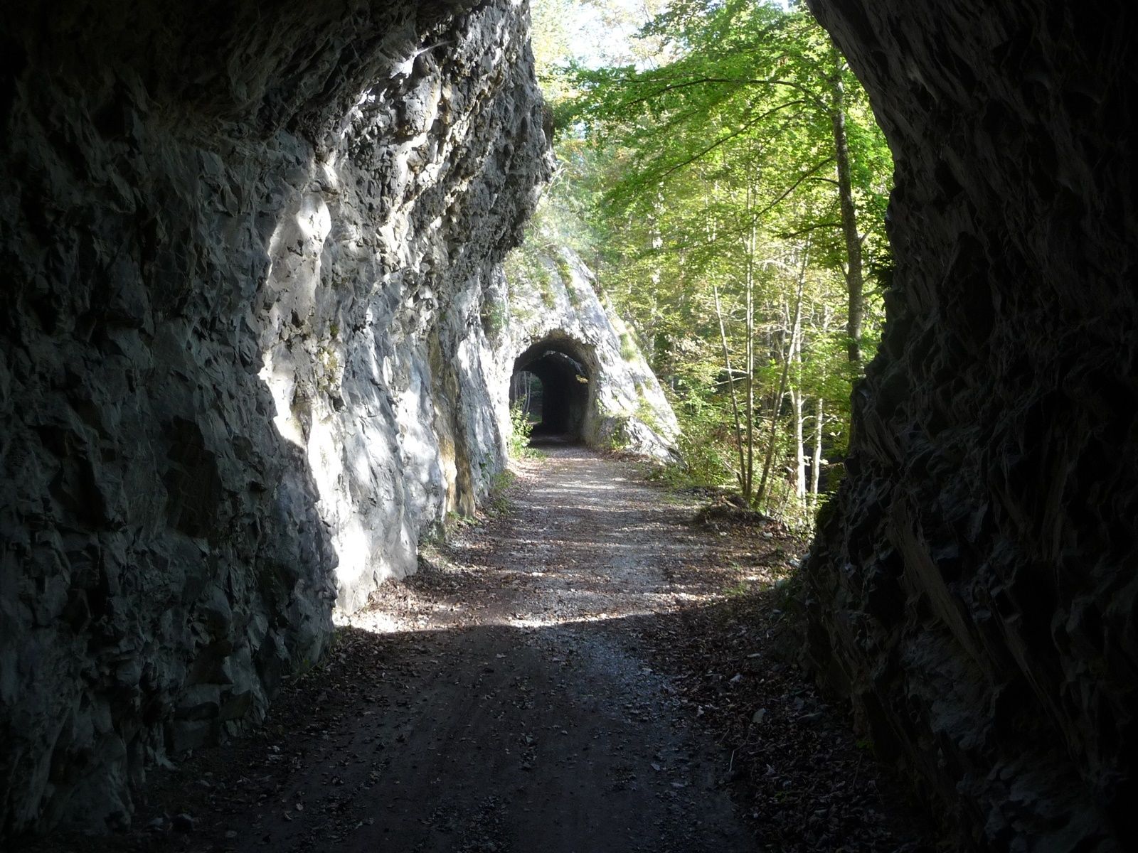
A little off the A13, shortly after Chur, on the left bank of the Rhine we find the village Untervaz, which belongs to the Five Villages area. At the foot of Calanda there is the Holcim mining area (Untervaz cement works).
- Difficulté
-
moyen
- Évaluation
-
- Parcours
-
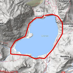
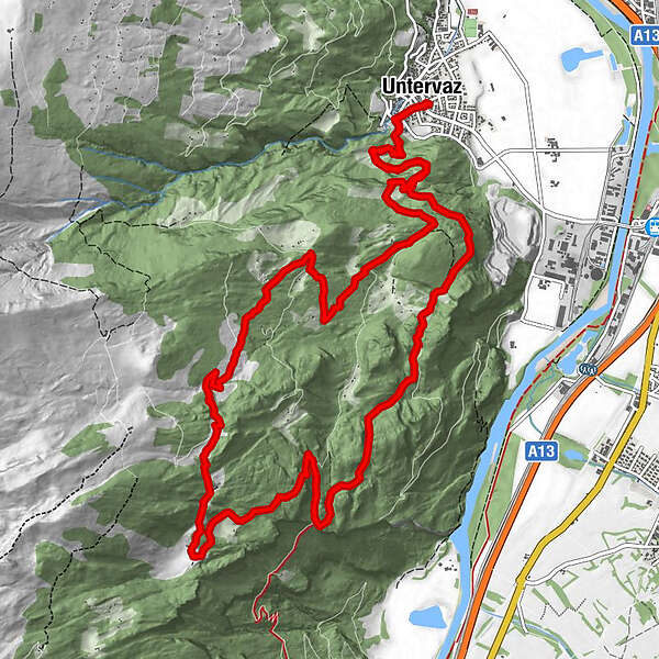
Untervaz (564 m)0,0 kmReformierte Kirche0,0 kmPramanengel2,9 kmReformierte Kirche15,7 kmUntervaz (564 m)15,7 km
- Meilleure saison
-
janv.févr.marsavrilmaijuinjuil.aoûtsept.oct.nov.déc.
- Hauteur maximale
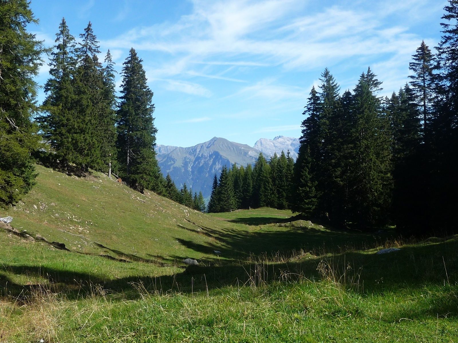
- 1.519 m
- Point de mire
-
Untervaz, Restaurant Linde
- Profil en hauteur
-
 © outdooractive.com
- Auteur
-
La randonnée Untervaz est utilisé par outdooractive.com fourni par.
GPS Downloads


Informations générales
Prometteur