© Arosa Lenzerheide - Ferienregion Lenzerheide


- Brève description
-
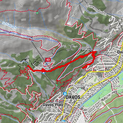
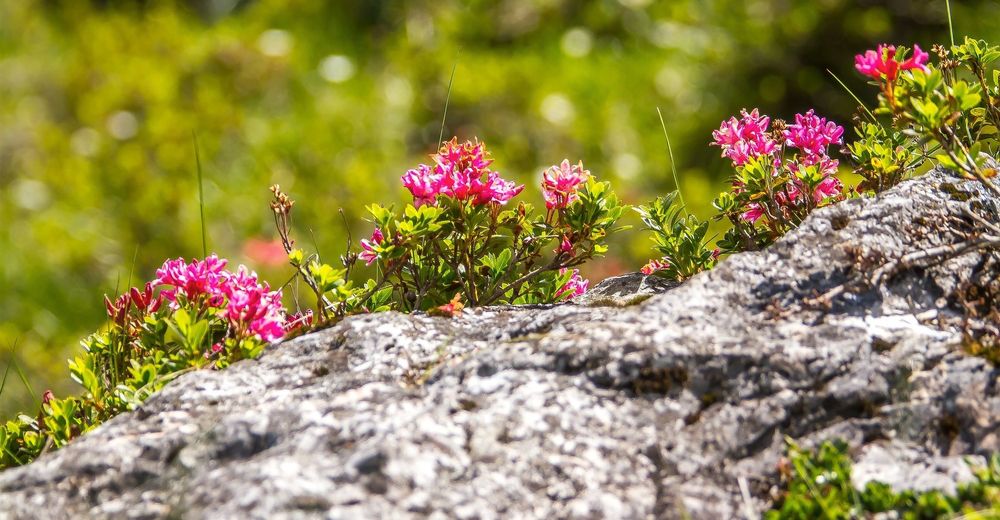
At 1’900 meters above sea level, the botanical forest educational trail starts at the centre station Scharmoin. It shows the trees, shrubs and flowers in our region. At the end of the path there are a rushing waterfall and a fireplace. A place that invites you to relax.
- Difficulté
-
moyen
- Évaluation
-
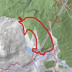
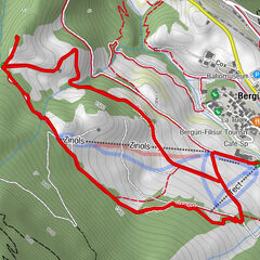
- Parcours
-
Station Scharmoin (1.904 m)Freeflow Restaurant0,0 kmScharmoin0,1 kmLenzerheide (1.476 m)4,4 km
- Meilleure saison
-
janv.févr.marsavrilmaijuinjuil.aoûtsept.oct.nov.déc.
- Hauteur maximale
- 1.900 m
- Point de mire
-
Postplatz Lenzerheide
- Profil en hauteur
-
 © outdooractive.com

- Auteur
-
La randonnée Alpenfloralehrpfad est utilisé par outdooractive.com fourni par.
GPS Downloads


Informations générales
Flore
Autres parcours dans les régions
-
Arosa Lenzerheide
816
-
Albula / Alvra
180