© Prättigau Marketing - Doris Moos

© Pany-St. Antönien Tourismus - Armin Aebli

© Prättigau Marketing - Doris Moos

© Prättigau Marketing - Doris Moos

© Prättigau Marketing - Doris Moos

© Doris Moos, Pany-St. Antönien Tourismus
- Brève description
-
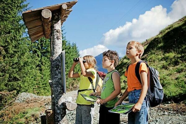
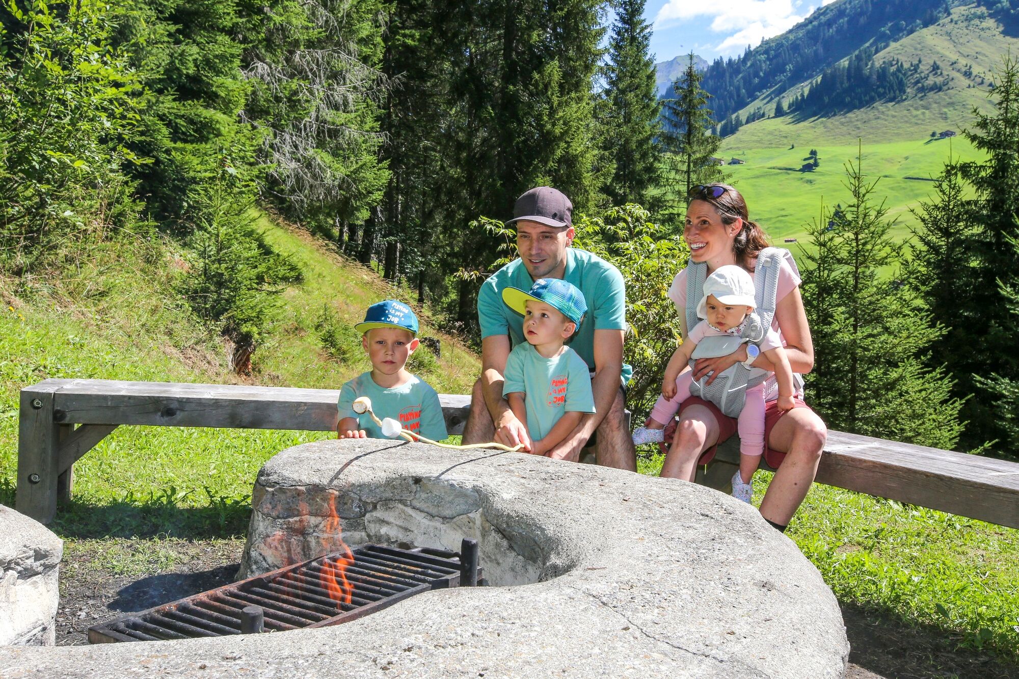
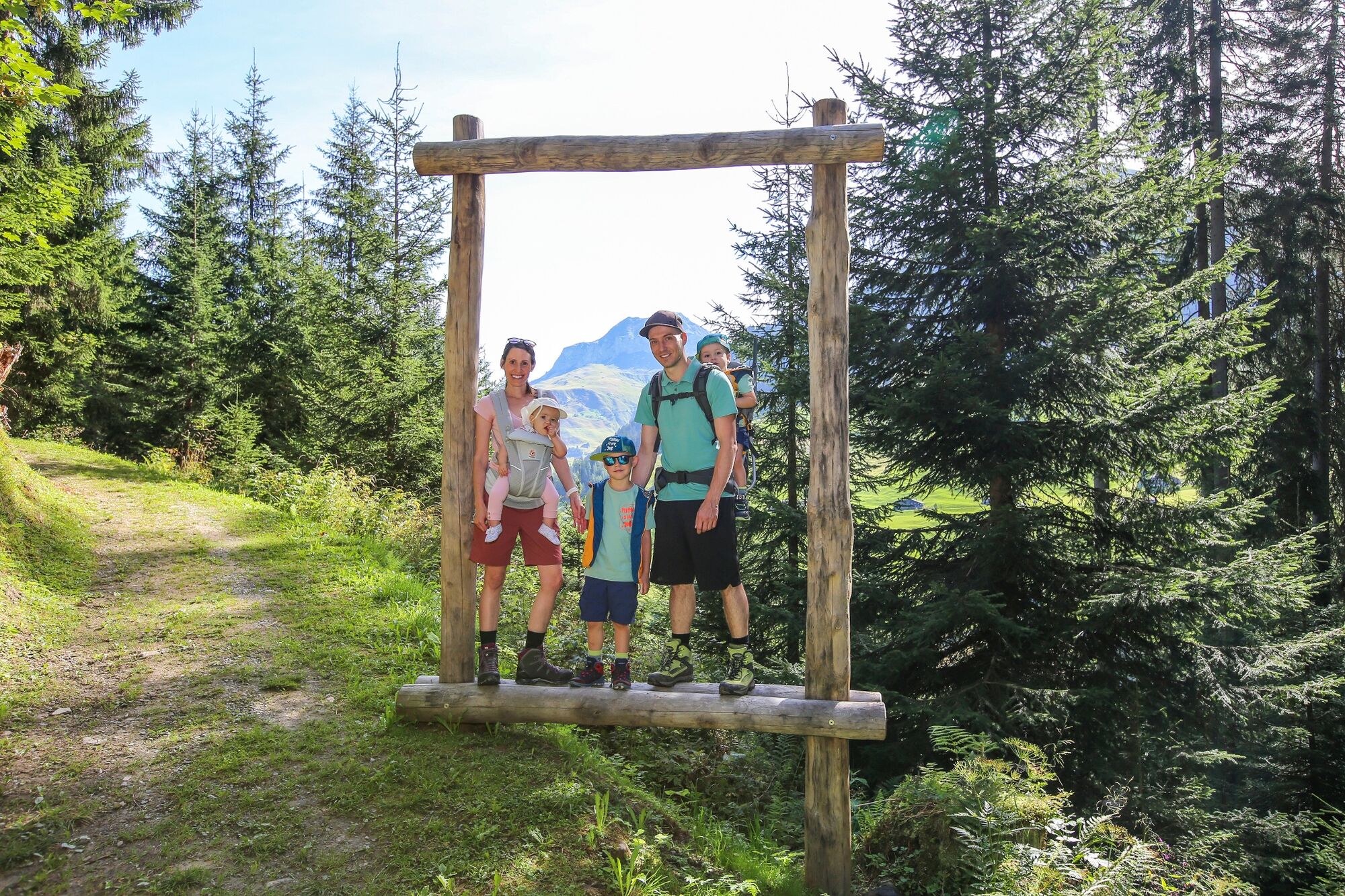
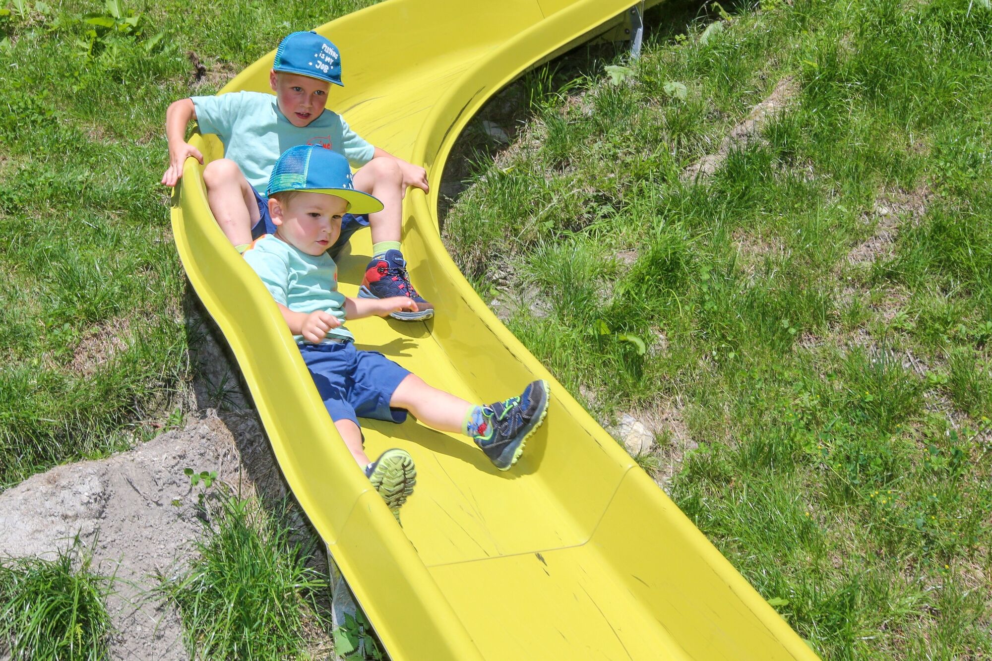
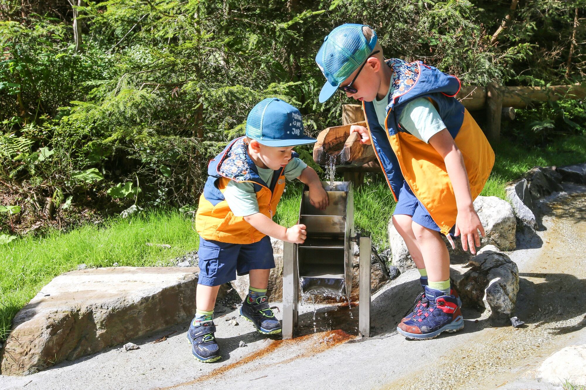
Discover the mountains by playing with the three friends : the marmot 'Pfifer', the chamois 'Granita' and the butterfly 'Malva' and solve the secret about Granita. Have fun !
- Difficulté
-
facile
- Évaluation
-
- Parcours
-
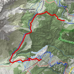
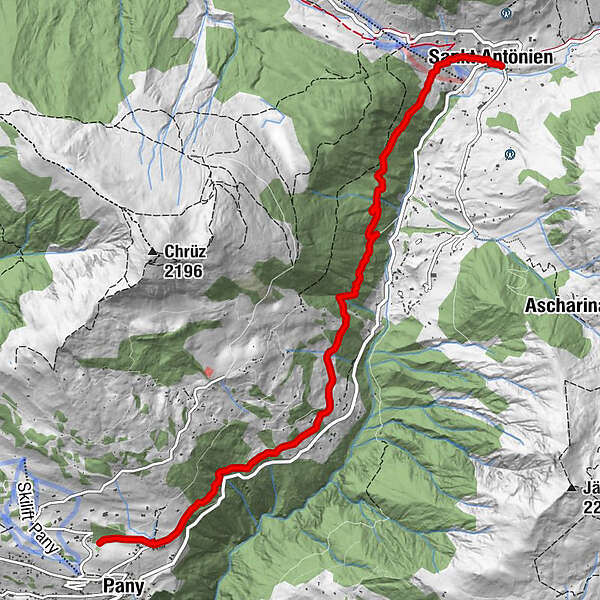
MarschallHotel-Restaurant Madrisajoch0,0 kmPlatz (1.420 m)0,1 kmHotel Restaurant Rhätia0,1 kmReformierte Kirche St. Antönien0,1 kmSankt Antönien (1.459 m)0,1 kmPany (1.250 m)6,8 km
- Meilleure saison
-
janv.févr.marsavrilmaijuinjuil.aoûtsept.oct.nov.déc.
- Hauteur maximale
- 1.479 m
- Point de mire
-
Destinations are Pany or St. Antönien
- Profil en hauteur
-
 © outdooractive.com
-

-
AuteurLa randonnée Re-Ra-Rätikon - the natural spectacle est utilisé par outdooractive.com fourni par.
GPS Downloads


Autres parcours dans les régions
-
Prättigau
1249
-
Pany - Luzein
209