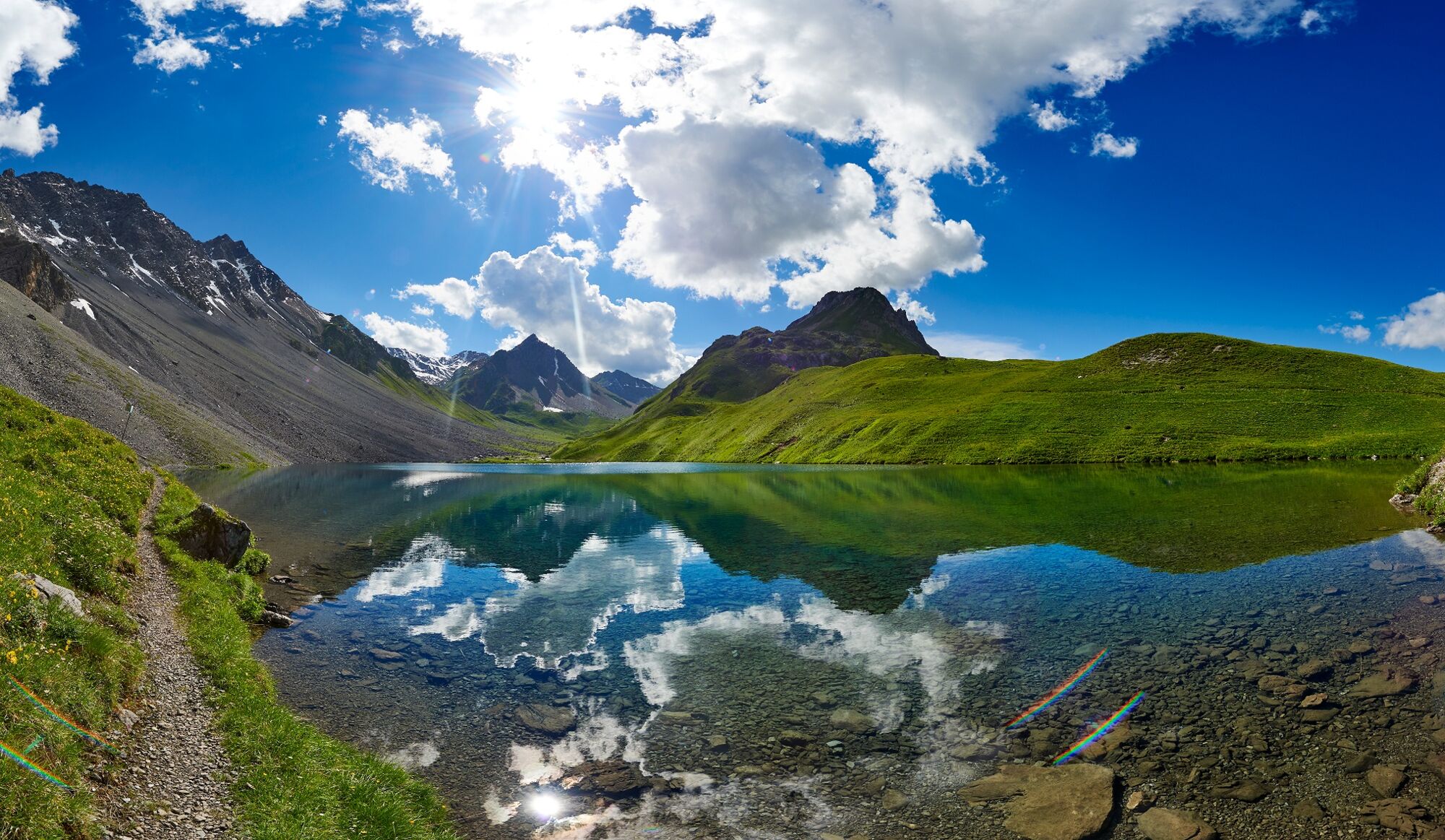
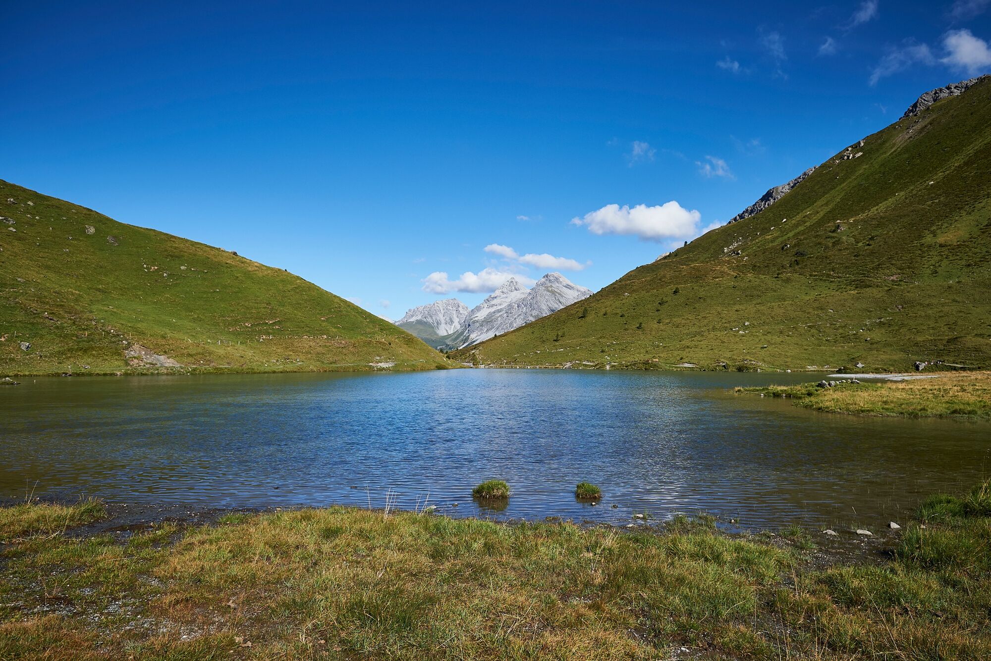
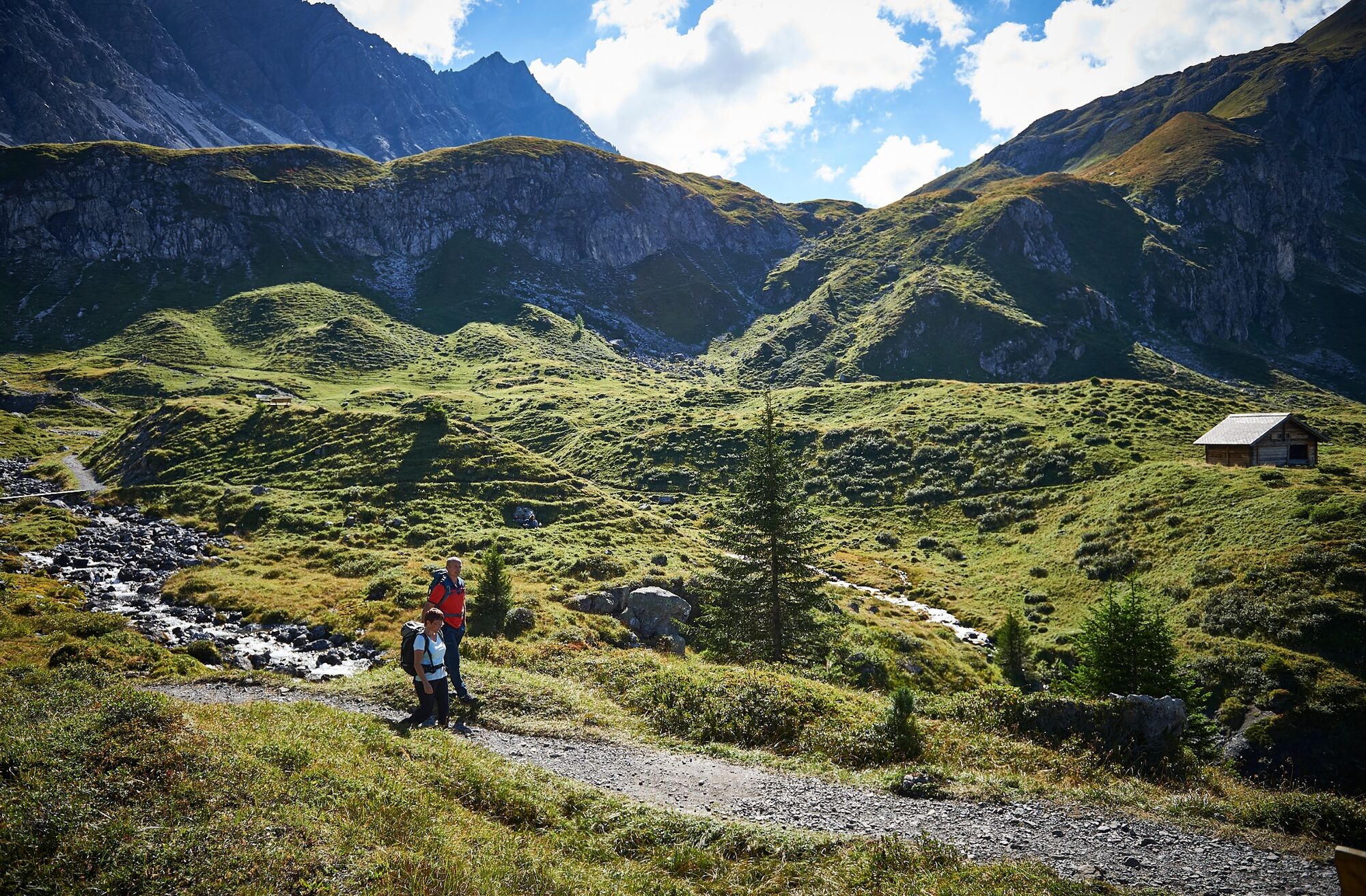
2 Lake Hike to the Älplisee and the Schwellisee

Chemin thématique

© Arosa Lenzerheide - Arosa Tourismus

© Arosa Lenzerheide - Arosa Tourismus

© Arosa Lenzerheide - Arosa Tourismus


- Brève description
-
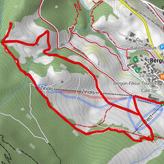
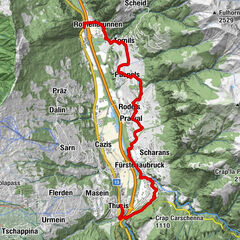
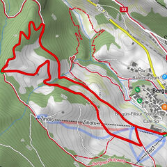
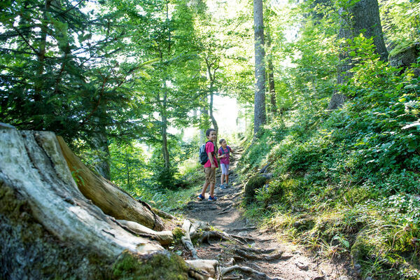
This hike takes you to 2 of a total of 10 lakes in Arosa. From the Hörnli valley station you reach the Älplisee and afterwards the Schwellisee. At the end you will return to the Hörnli.
- Difficulté
-
moyen
- Évaluation
-
- Parcours
-
Innerarosa (1.820 m)Alpenblick0,9 kmInnerarosa (1.820 m)7,4 km
- Meilleure saison
-
janv.févr.marsavrilmaijuinjuil.aoûtsept.oct.nov.déc.
- Hauteur maximale
- 2.171 m
- Point de mire
-
Hörnli Valley Station
- Profil en hauteur
-
 © outdooractive.com
- Auteur
-
La randonnée 2 Lake Hike to the Älplisee and the Schwellisee est utilisé par outdooractive.com fourni par.
GPS Downloads


Informations générales
Point de rassemblement
Prometteur
Autres parcours dans les régions
-
Arosa Lenzerheide
819
-
Hochwang
281