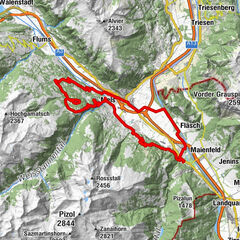
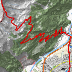
Round trip Graubünden Rhine Valley - Bündner Herrschaft

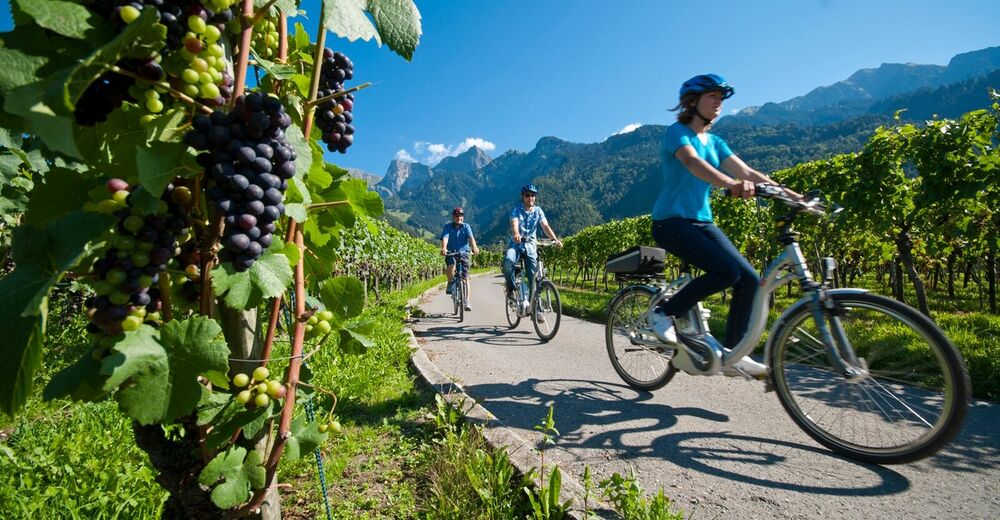
Faire du vélo
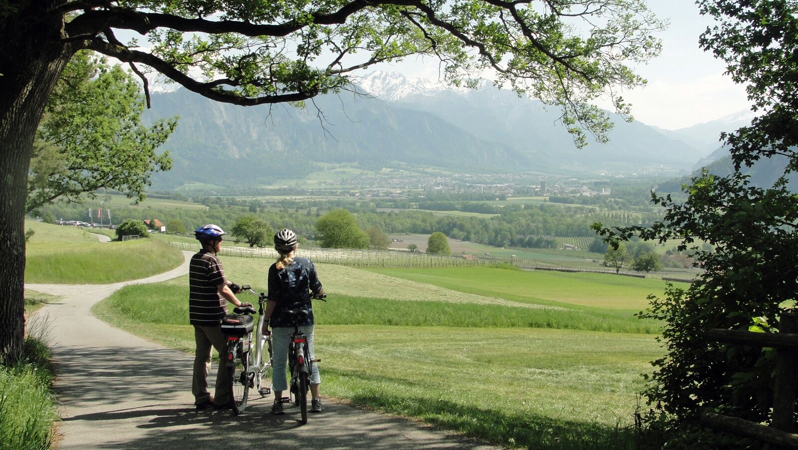
© Chur - Die Alpenstadt - Michael Christ

© Chur - Die Alpenstadt - Michael Christ

© Chur - Die Alpenstadt - Michael Christ

© Chur - Die Alpenstadt - Michael Christ

© Chur - Die Alpenstadt - Michael Christ
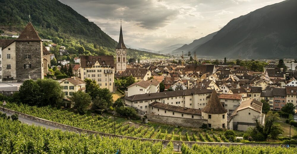
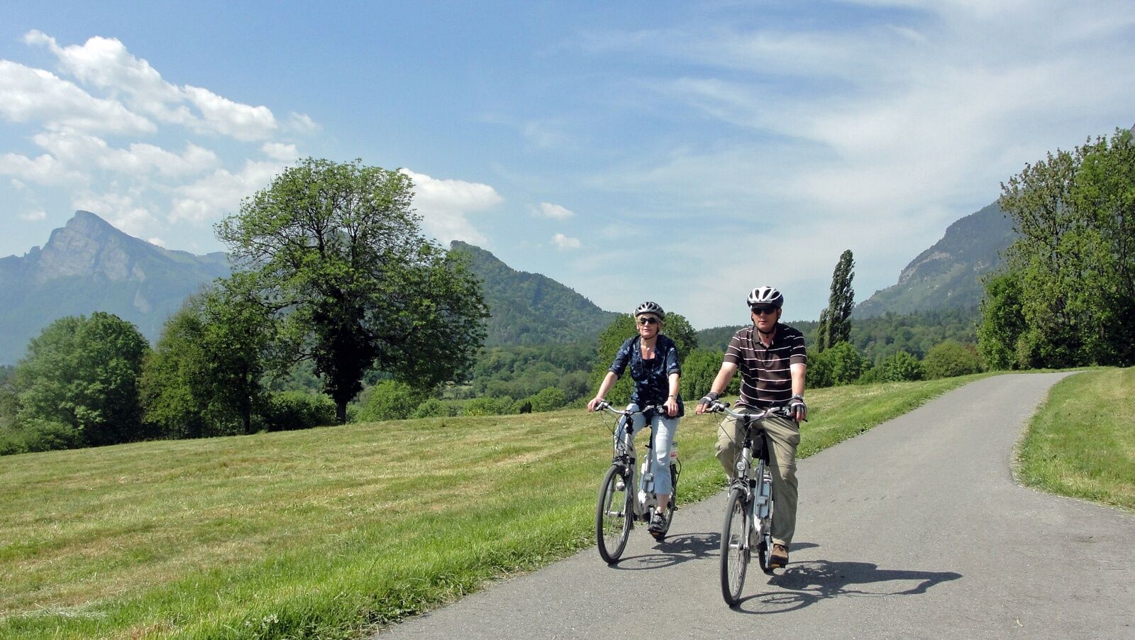
© Chur - Die Alpenstadt - Karin Bächer


- Brève description
-
Wonderful round trip through the wine region of the Bündner Rheintal and Bündner Herrschaft.
- Difficulté
-
moyen
- Évaluation
-
- Parcours
-
Coire (593 m)Chur (585 m)Loe Restaurant1,5 kmMasans2,5 kmTrimmis (637 m)6,4 kmKatholische Kirche Trimmis6,7 kmSportcenter Fünf Dörfer10,2 kmOberaurütenen10,4 kmZizers (561 m)12,1 kmBöfelihof13,1 kmIgis (563 m)14,7 kmErlahof15,7 kmPagolla19,1 kmGasthaus Krone20,0 kmZum Ochsen20,1 kmMalans (568 m)20,1 kmHotel Weiss Kreuz20,1 kmOberdorf20,3 kmReformierte Kirche Malans20,3 kmJenins (635 m)22,8 kmReformierte Kirche23,0 kmAmanduskirche25,5 kmMaienfeld (504 m)25,5 kmFläsch (528 m)28,2 kmBad Ragaz (502 m)31,5 kmEvangelisch-reformierte Kirche Bad Ragaz32,1 kmKatholische Kirche St. Pankraz32,3 kmBad Ragaz (516 m)32,4 kmLandquart (563 m)39,0 kmSportcenter Fünf Dörfer44,4 kmRestaurant Bahnhöfli49,9 kmHaldenstein (566 m)49,9 kmMartinskirche55,5 kmCoire (593 m)56,0 kmChur (585 m)56,1 km
- Meilleure saison
-
janv.févr.marsavrilmaijuinjuil.aoûtsept.oct.nov.déc.
- Hauteur maximale
- 653 m
- Point de mire
-
Chur, train station
- Profil en hauteur
-
 © outdooractive.com


-

-
AuteurLa randonnée Round trip Graubünden Rhine Valley - Bündner Herrschaft est utilisé par outdooractive.com fourni par.
GPS Downloads


Informations générales
Point de rassemblement
Culturel/Historiquement
Flore
Prometteur