© Engadin Samnaun Val Müstair - Filip Zuan

© Engadin Samnaun Val Müstair - Filip Zuan

© Engadin Samnaun Val Müstair - Filip Zuan

© Engadin Samnaun Val Müstair - Filip Zuan

- Brève description
-
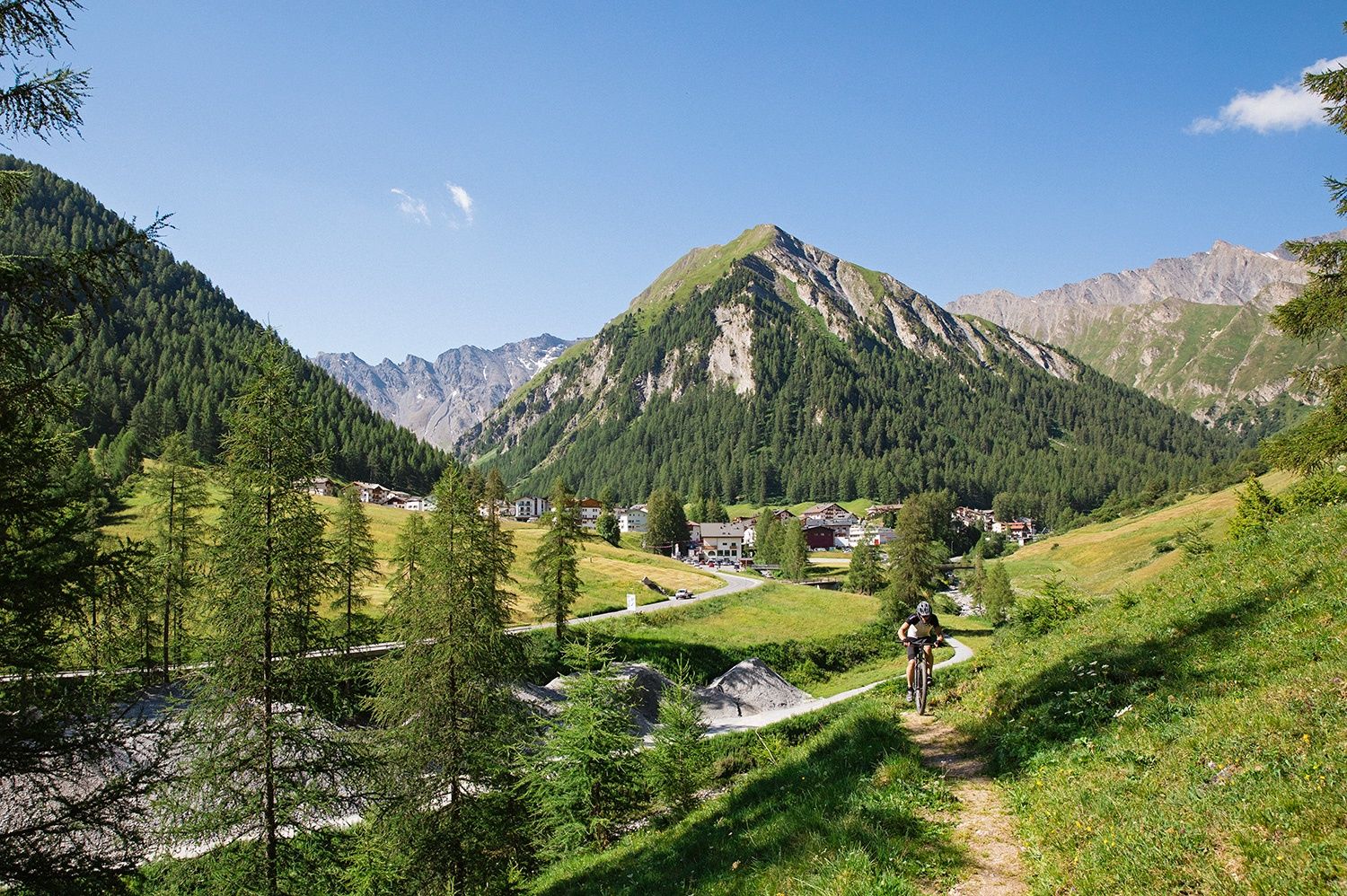
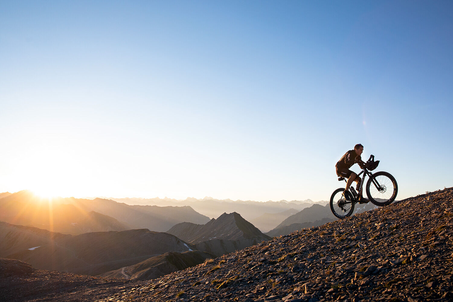
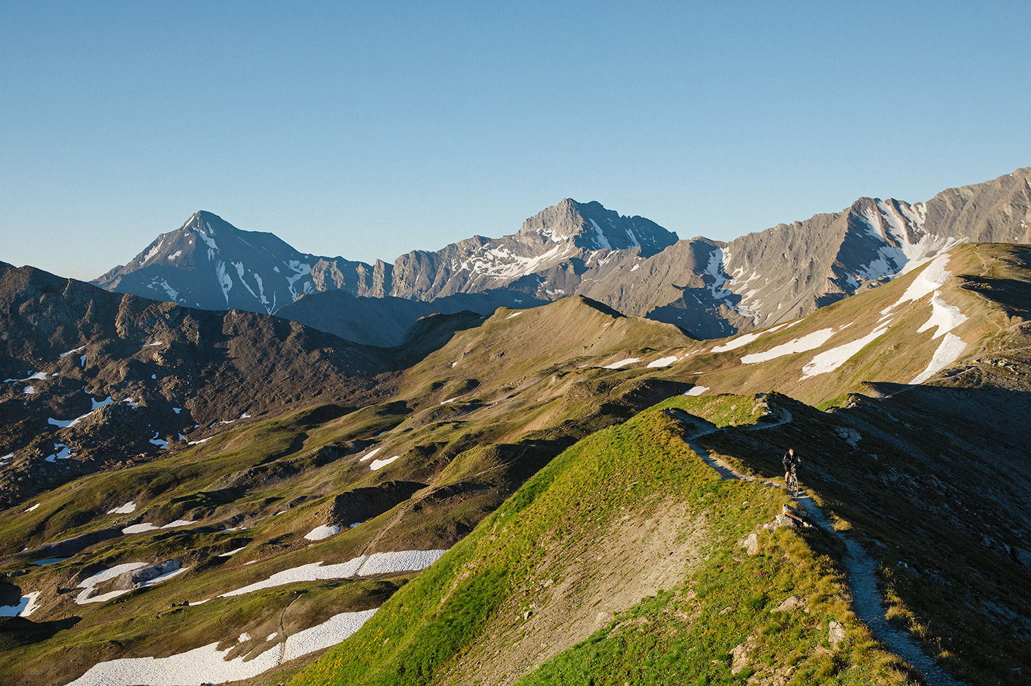
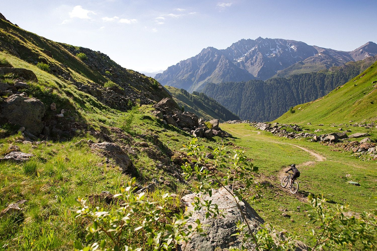
Long tour along the border ridge between Switzerland and Austria. The effort is rewarded with magnificent views and a long descent on trails.
- Difficulté
-
difficile
- Évaluation
-
- Parcours
-
El Rico0,1 kmSamnaun (1.846 m)0,3 kmChapelle Marie du Secours0,4 kmSchmuggler-Alm0,6 kmPalinkopf (2.864 m)7,9 kmSalaaser Kopf (2.744 m)9,7 kmGreitspitze (2.871 m)11,7 kmViderjochbahn 2 (2.766 m)12,4 kmIdjochbahn (2.780 m)12,5 kmAlp Trida17,6 kmVisnitzbahn (2.285 m)17,8 kmSkihaus Alp Trida17,8 kmAlp Trida (2.261 m)17,8 kmCompatsch (1.715 m)21,5 kmLaret (1.731 m)22,7 kmPlan (1.725 m)23,6 kmRavaisch (1.799 m)25,0 kmHotel Restaurant Sonneck25,0 kmSamnaun (1.846 m)26,3 km
- Meilleure saison
-
janv.févr.marsavrilmaijuinjuil.aoûtsept.oct.nov.déc.
- Hauteur maximale
- 2.853 m
- Point de mire
-
Samnaun Dorf
- Profil en hauteur
-
 © outdooractive.com
- Auteur
-
La randonnée Samnaun-Zeblasjoch-Alp Trida Round Tour est utilisé par outdooractive.com fourni par.
GPS Downloads


Informations générales
Point de rassemblement
Prometteur