© Unbekannt - Nico Schärer
© Unbekannt - Nico Schärer

© Unbekannt - Nico Schärer
© Unbekannt - Nico Schärer
© Unbekannt - Nico Schärer

© Unbekannt - Nico Schärer
Dates des itinéraires
40,78km
1.476
- 2.827m
2.097hm
1.995hm
15:07h
- Brève description
-
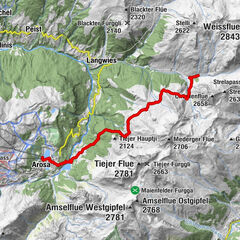
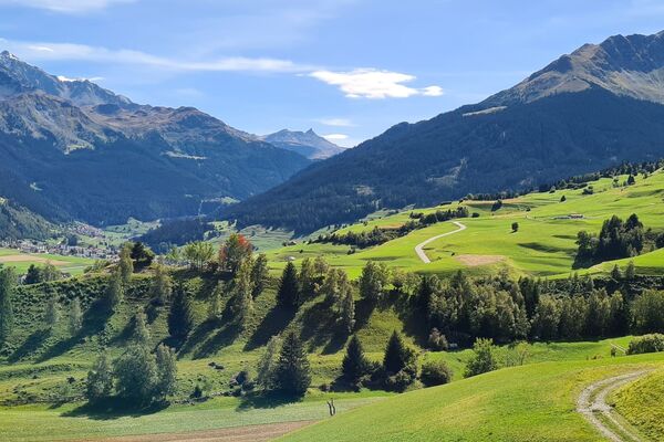
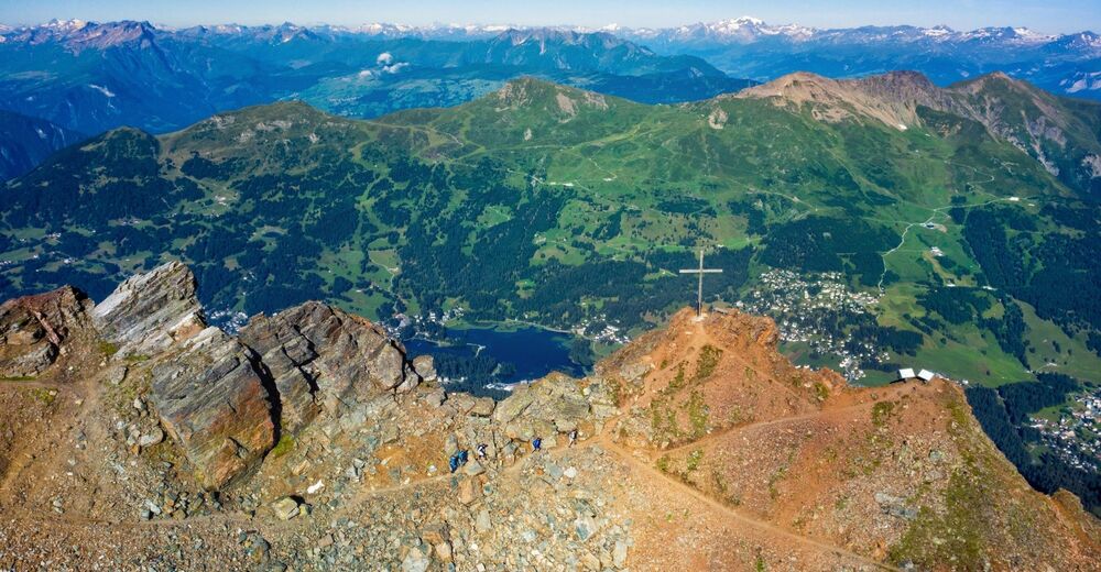
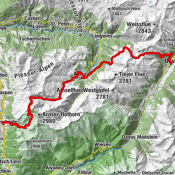
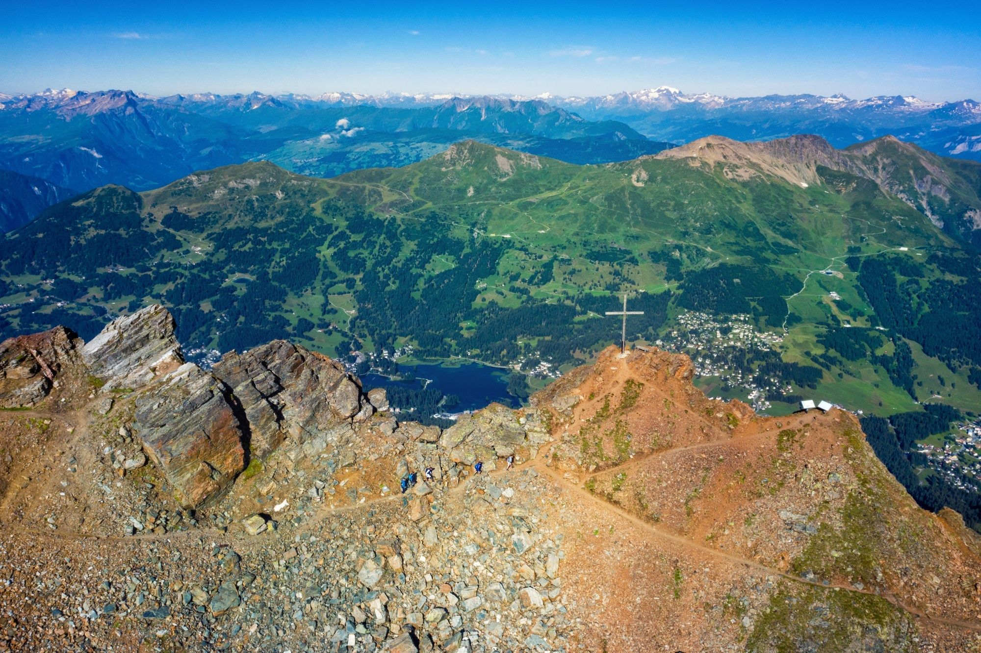
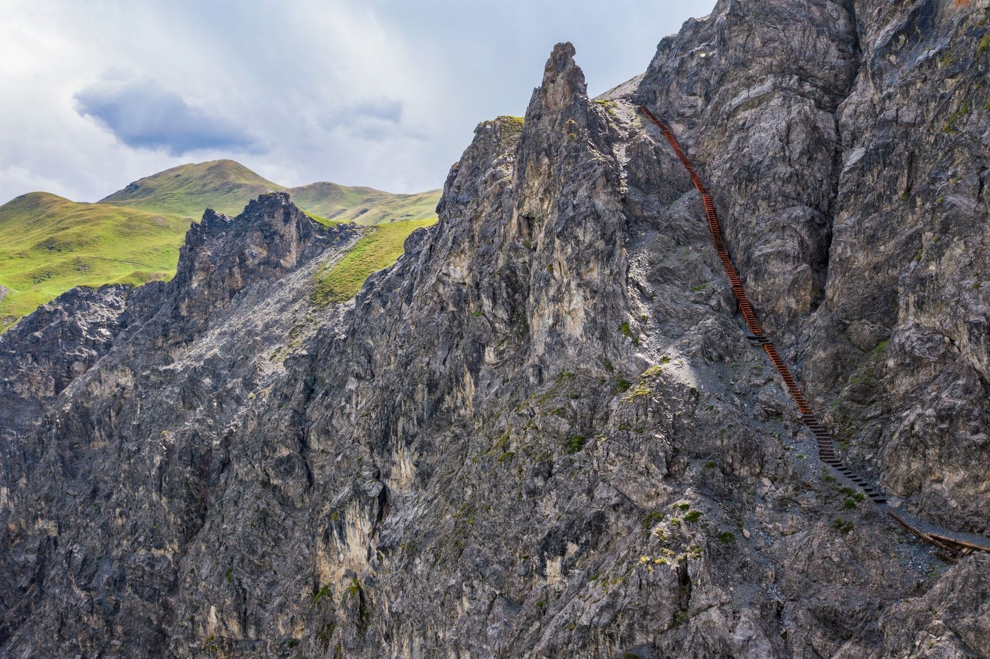
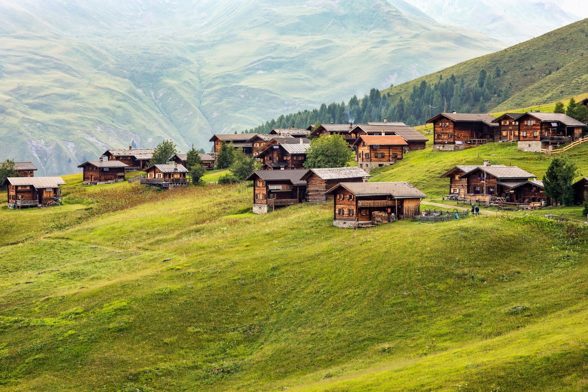
This tour offers an interesting cross section from Lenzerheide through the Schanfigg to Davos. Geology takes priority on the first section, whilst the second follows the footsteps of the Walser settlers. And in the middle, the tourist resort of Arosa beckons.
- Difficulté
-
moyen
- Évaluation
-
- Parcours
-
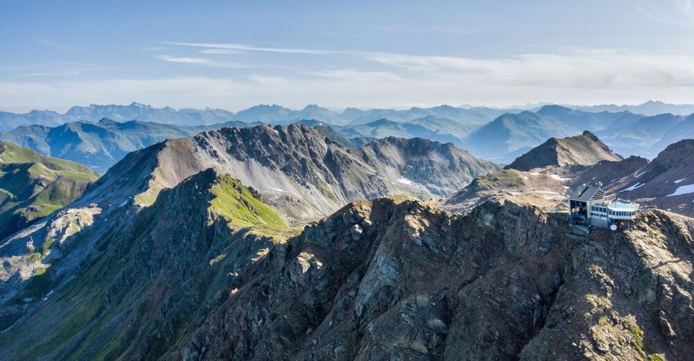
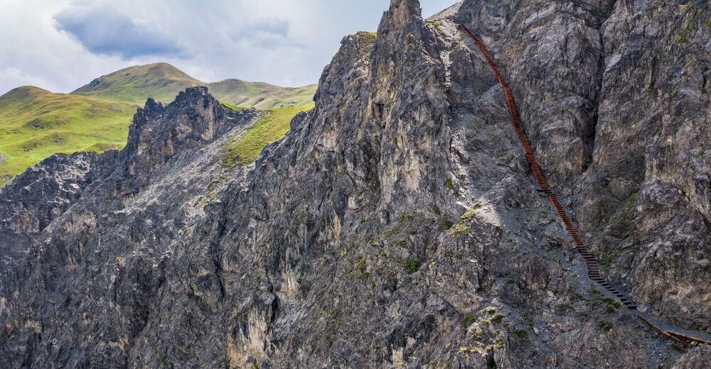
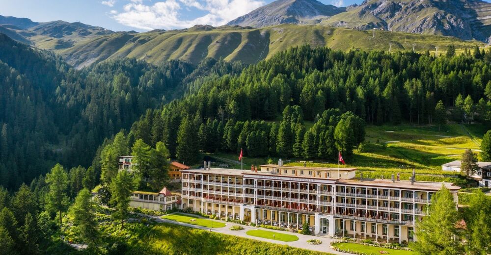
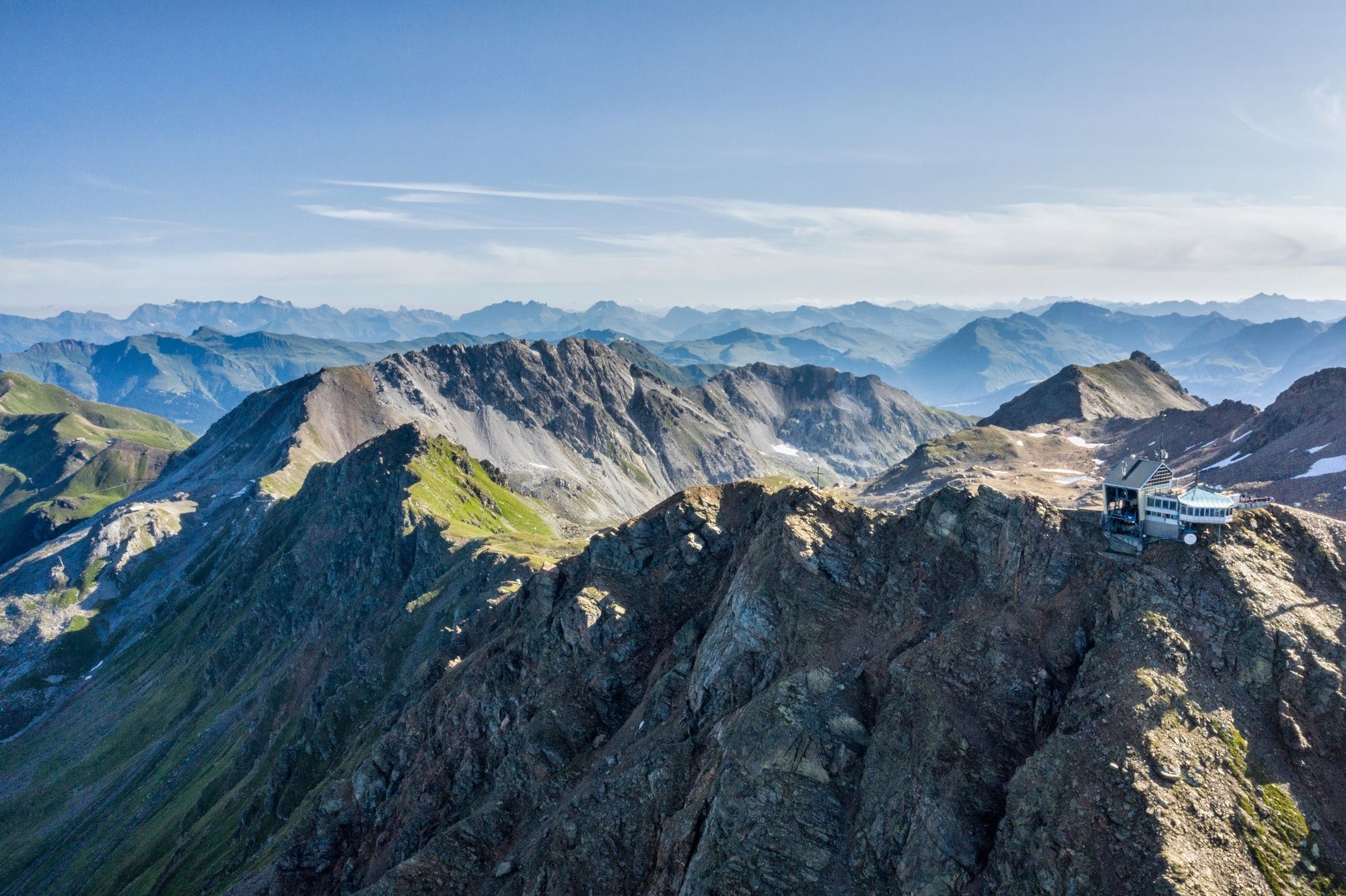
Lenzerheide (1.476 m)0,1 kmAlp Sanaspans3,5 kmParpaner Rothorn8,6 kmRothorn (2.857 m)8,6 kmRestaurant am Parpaner Rothorn8,6 kmGredigs Fürggli (2.615 m)10,6 kmInnerarosa (1.820 m)17,5 kmArosa20,3 kmArosa (1.739 m)20,7 kmFurggaalp (1.695 m)23,6 kmTieja (1.986 m)26,5 kmTschuggen27,0 kmAlpenrose28,4 kmMedergen (2.000 m)28,4 kmSchatzalp38,0 kmSchatzalp (1.861 m)38,2 kmDavos Platz40,1 kmMarienkirche40,1 kmDavos (1.560 m)40,2 kmDavos Platz40,8 km
- Meilleure saison
-
janv.févr.marsavrilmaijuinjuil.aoûtsept.oct.nov.déc.
- Hauteur maximale
- 2.827 m
- Point de mire
-
Davos
- Profil en hauteur
-
 © outdooractive.com

- Auteur
-
La randonnée 54 Mittelbünden Panoramaweg est utilisé par outdooractive.com fourni par.
GPS Downloads


Informations générales
Point de rassemblement
Flore
Prometteur
Autres parcours dans les régions
-
Arosa Lenzerheide
816
-
Hochwang
281