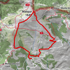
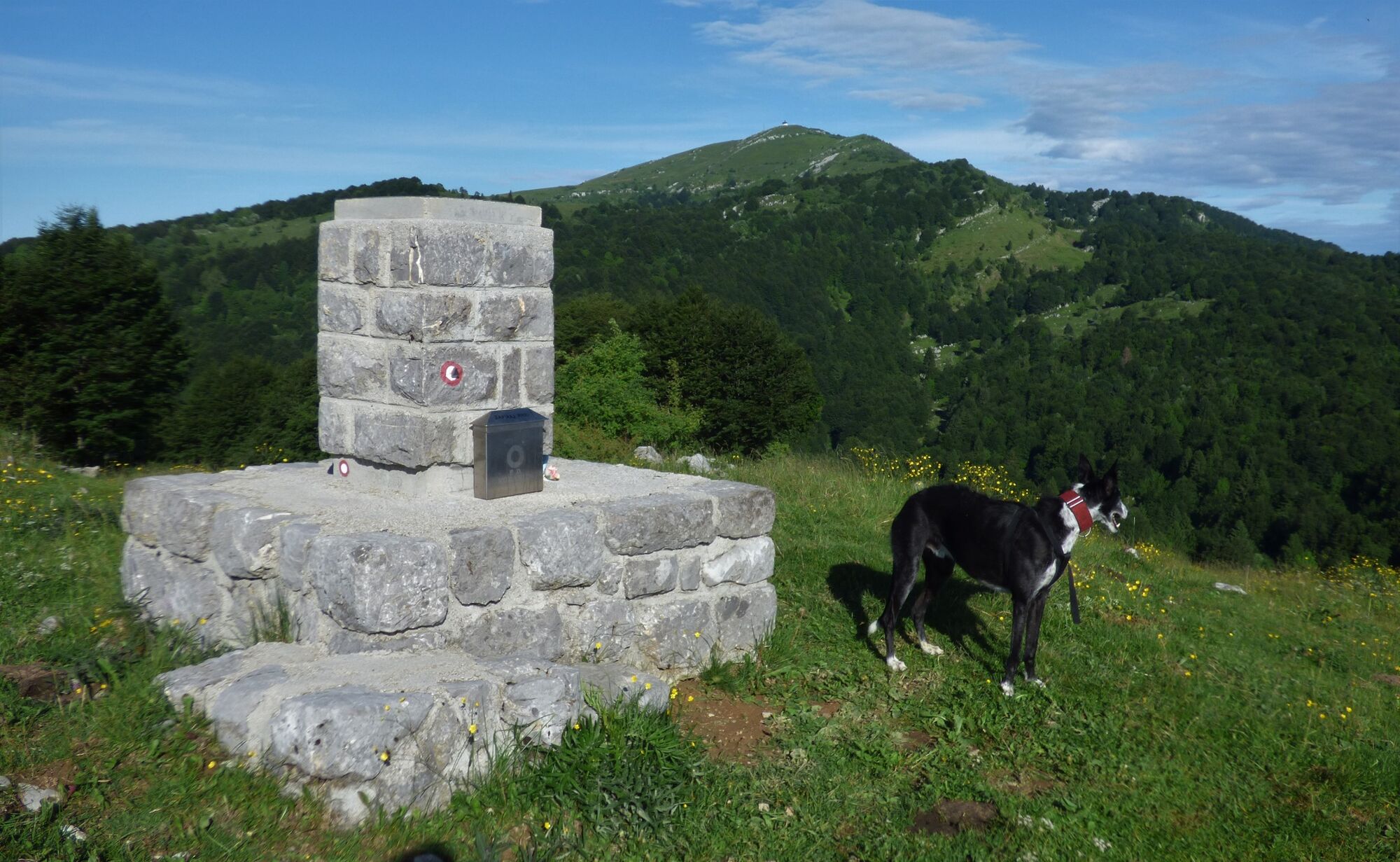
Mt. Matajur (1642 m), a boundary mountain between the Republic of Slovenia and Italy

Randonnée

© Turizem Dolina Soce - Ksenija Vogrinc

© Turizem Dolina Soce - Ksenija Vogrinc

© Turizem Dolina Soce - Ksenija Vogrinc

© Turizem Dolina Soce - Ksenija Vogrinc

© Turizem Dolina Soce - Ksenija Vogrinc

© Turizem Dolina Soce - Ksenija Vogrinc

© Turizem Dolina Soce - Ksenija Vogrinc

© Turizem Dolina Soce - Ksenija Vogrinc

© Turizem Dolina Soce - Ksenija Vogrinc

© Turizem Dolina Soce - Ksenija Vogrinc

- Brève description
-
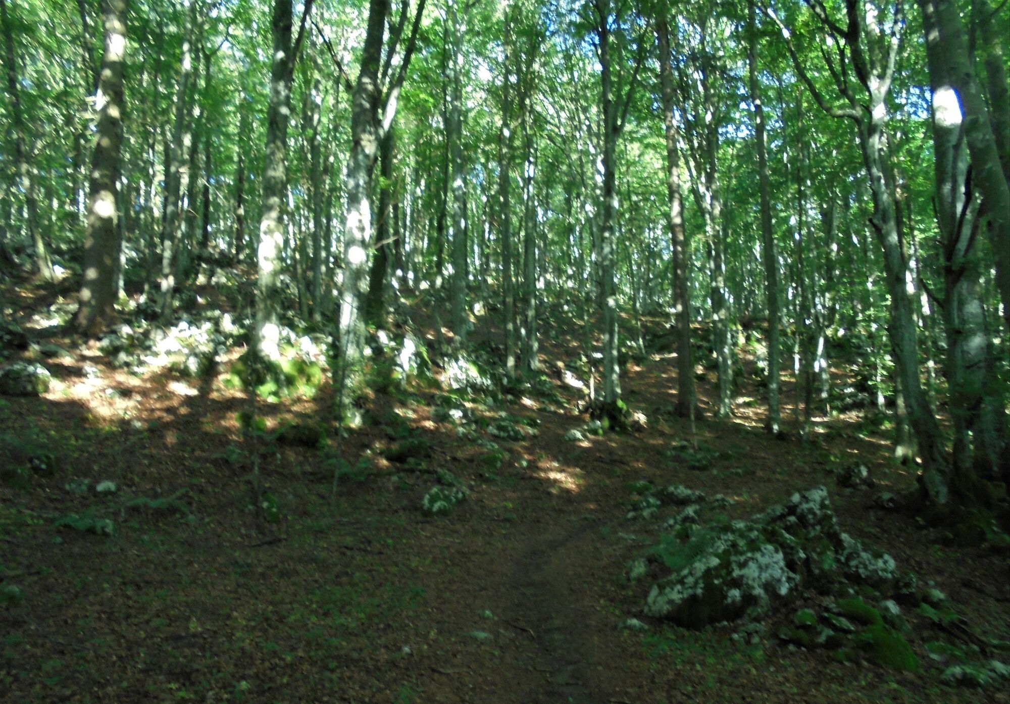
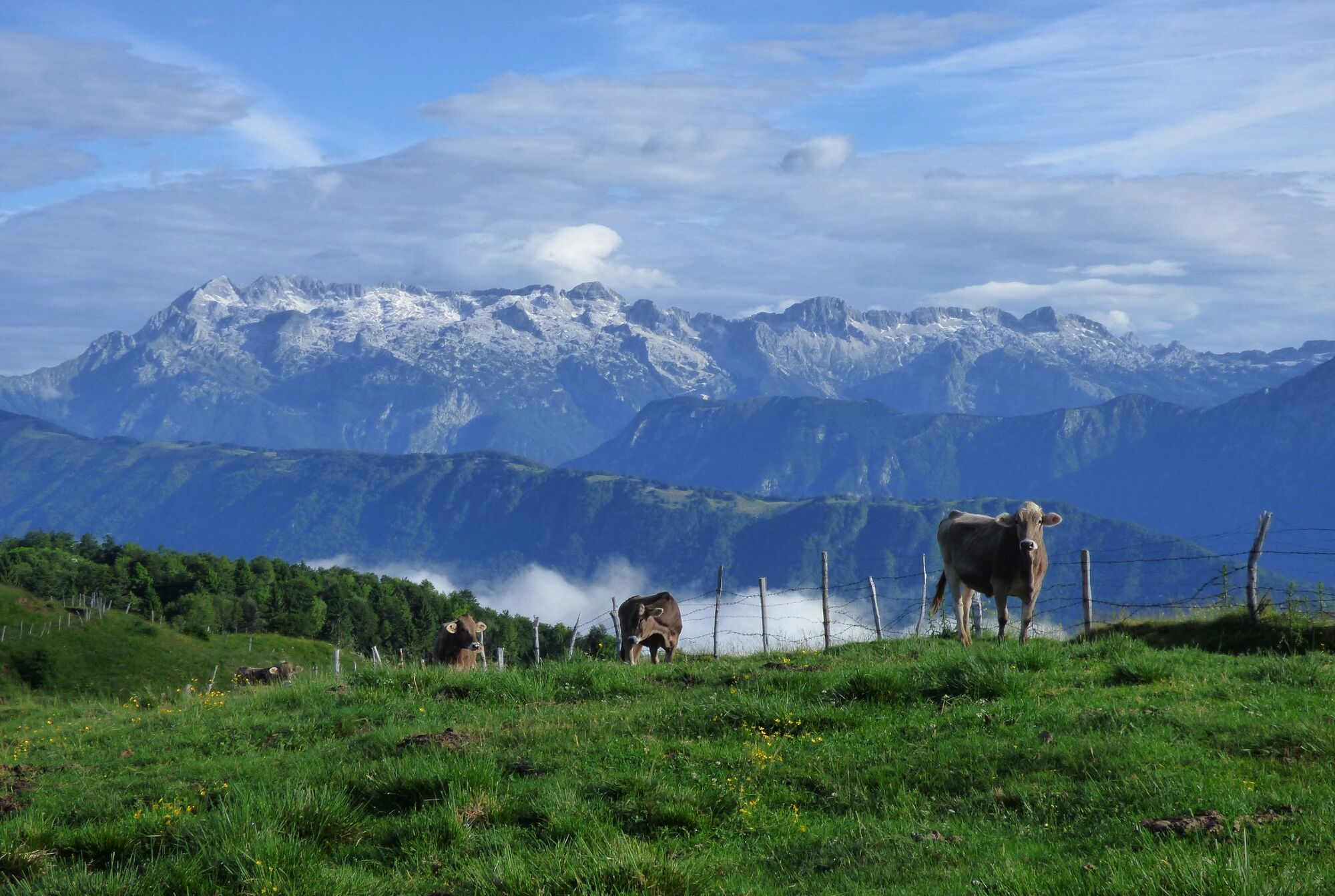
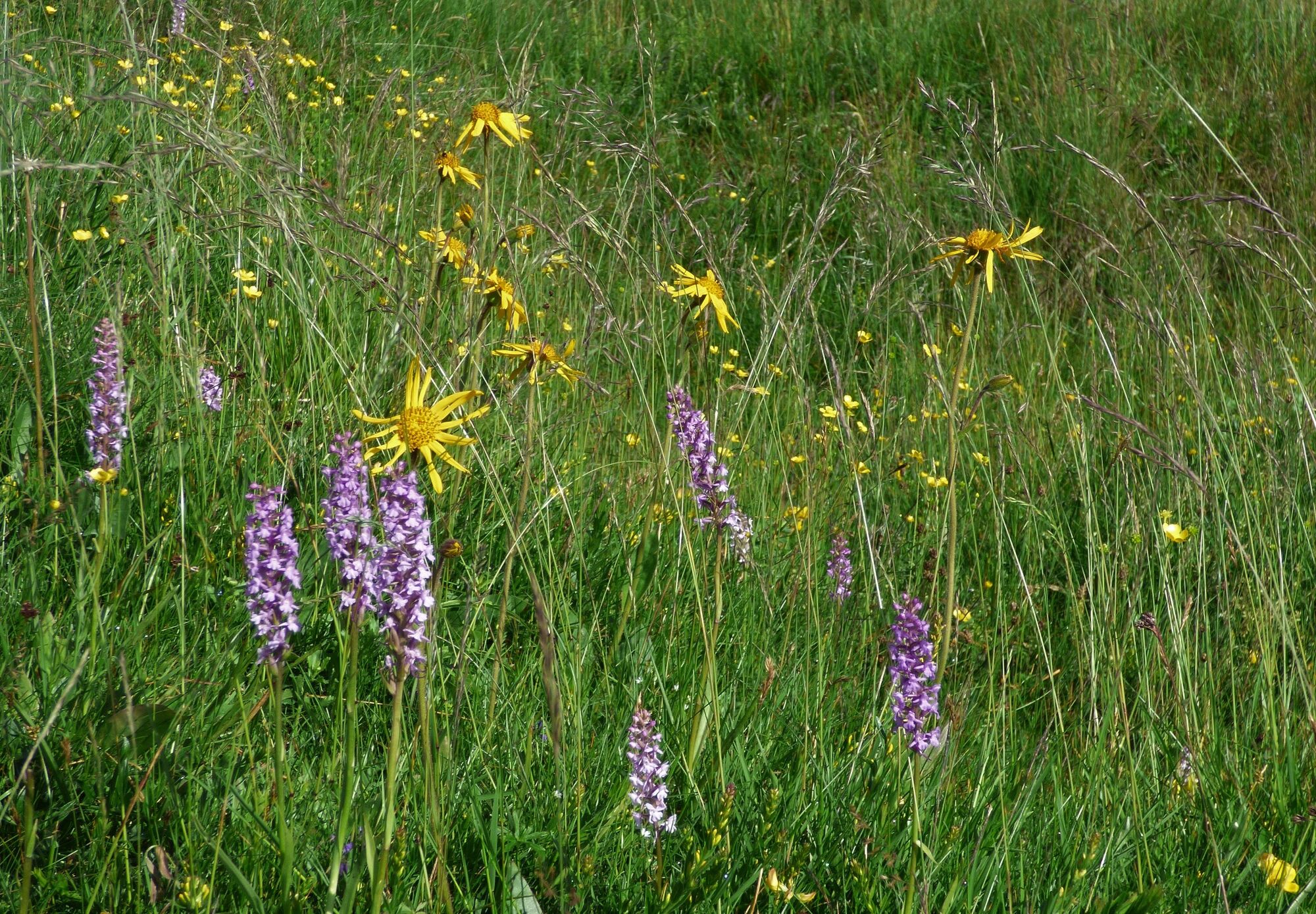
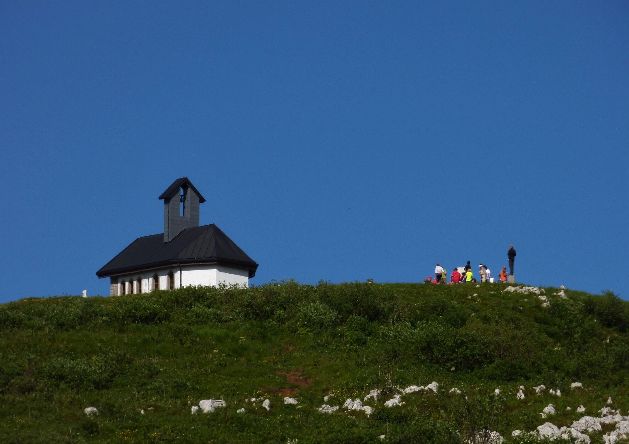
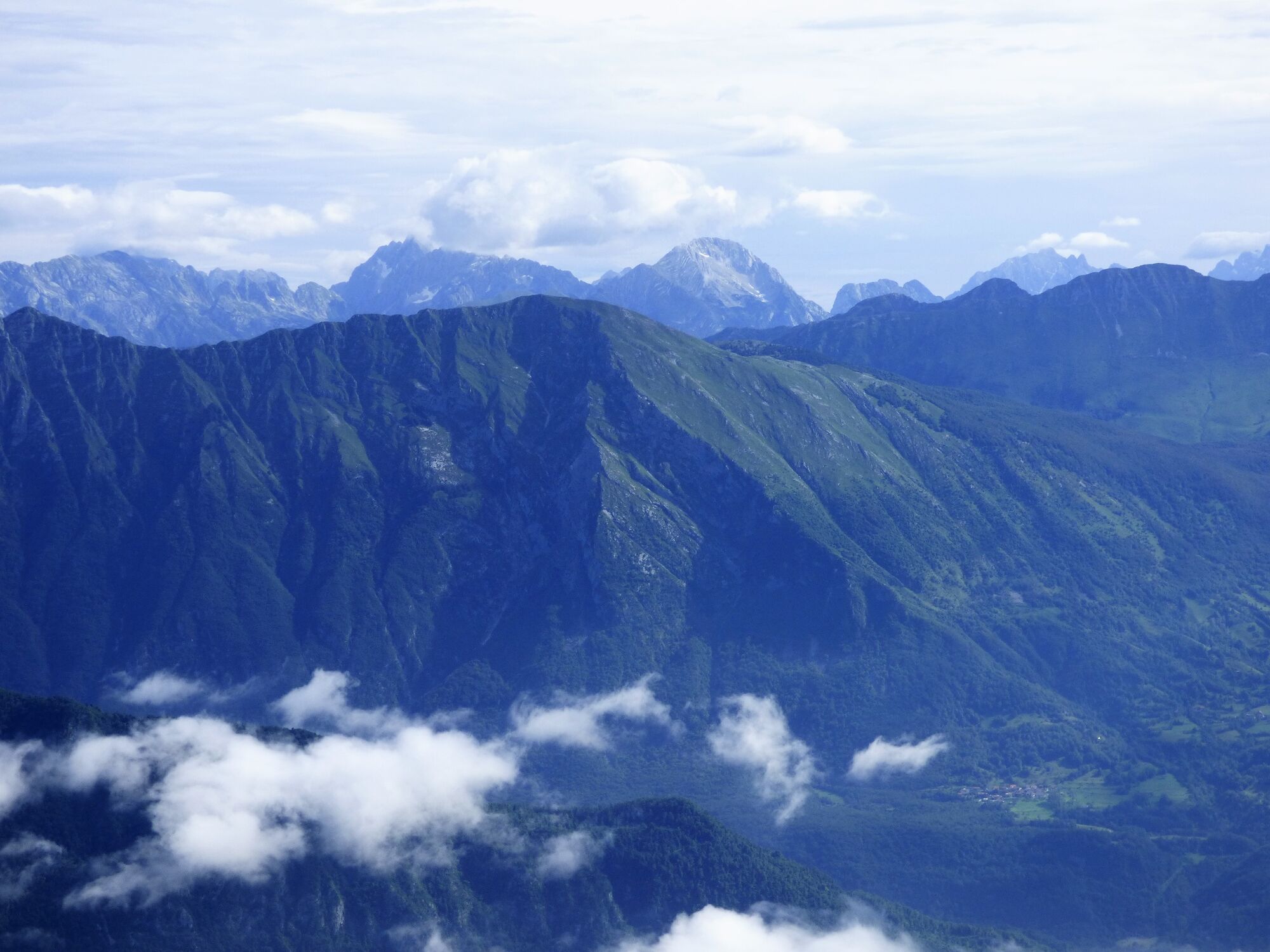
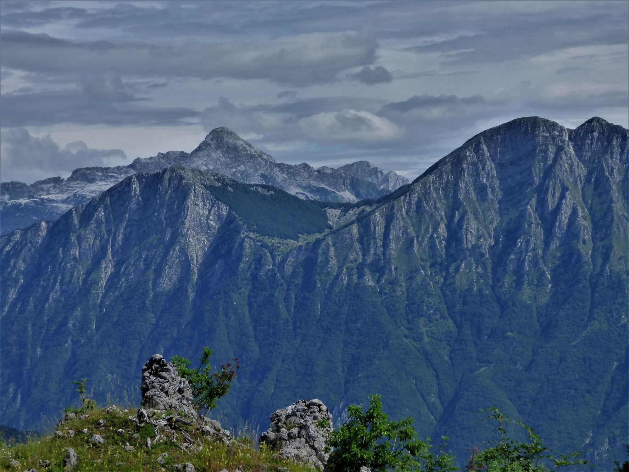
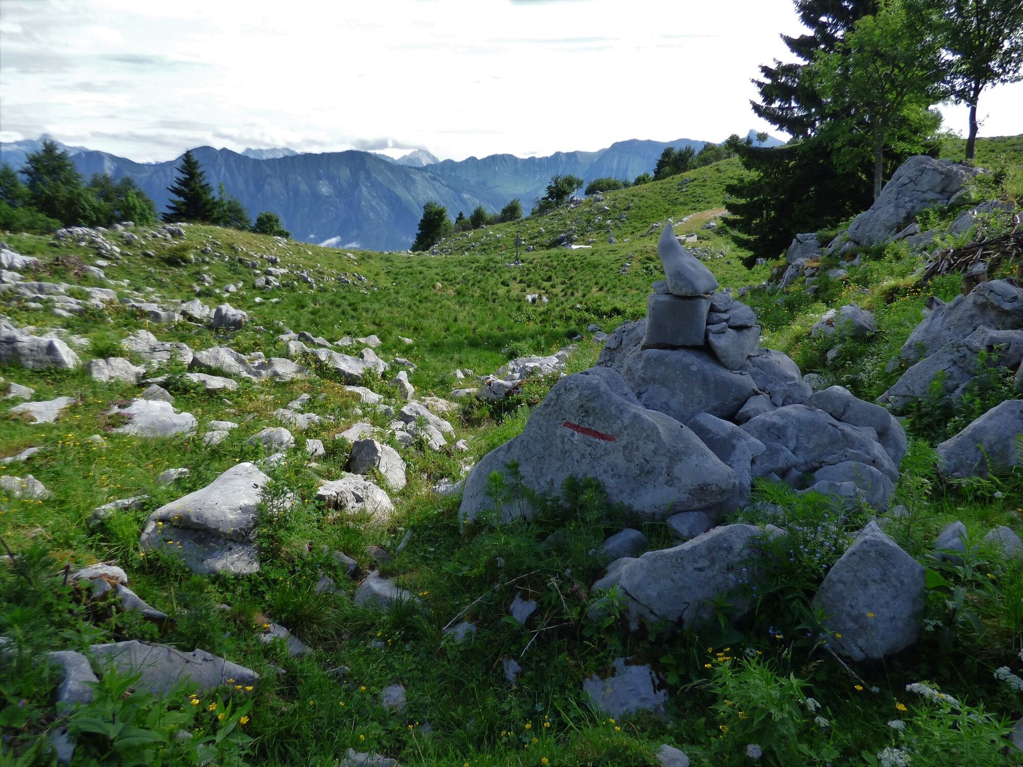
Mt. Matajur is a boundary mountain between the Republic of Slovenia and Italy. It is a wonderful sightseeing mountain and a genuine botanical garden during the spring and summer months. Because it is possible to make a circular tour, it is an attractive destination for many hikers.
- Évaluation
-
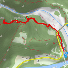
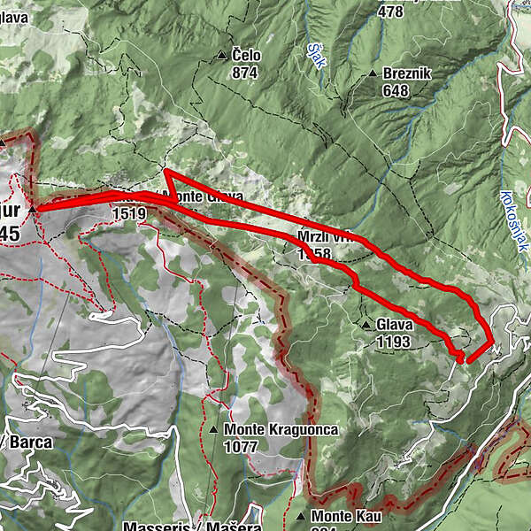
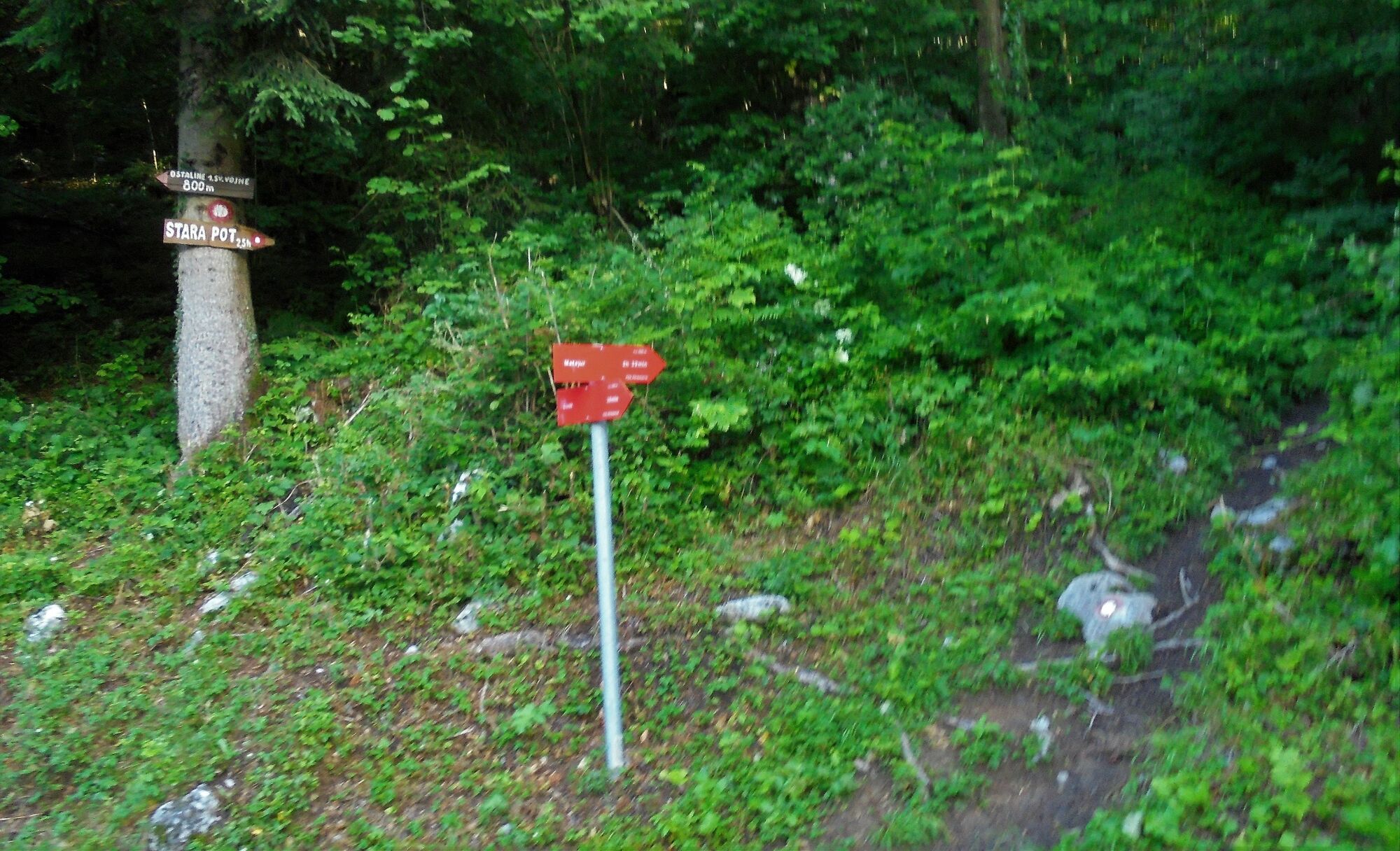
- Parcours
-
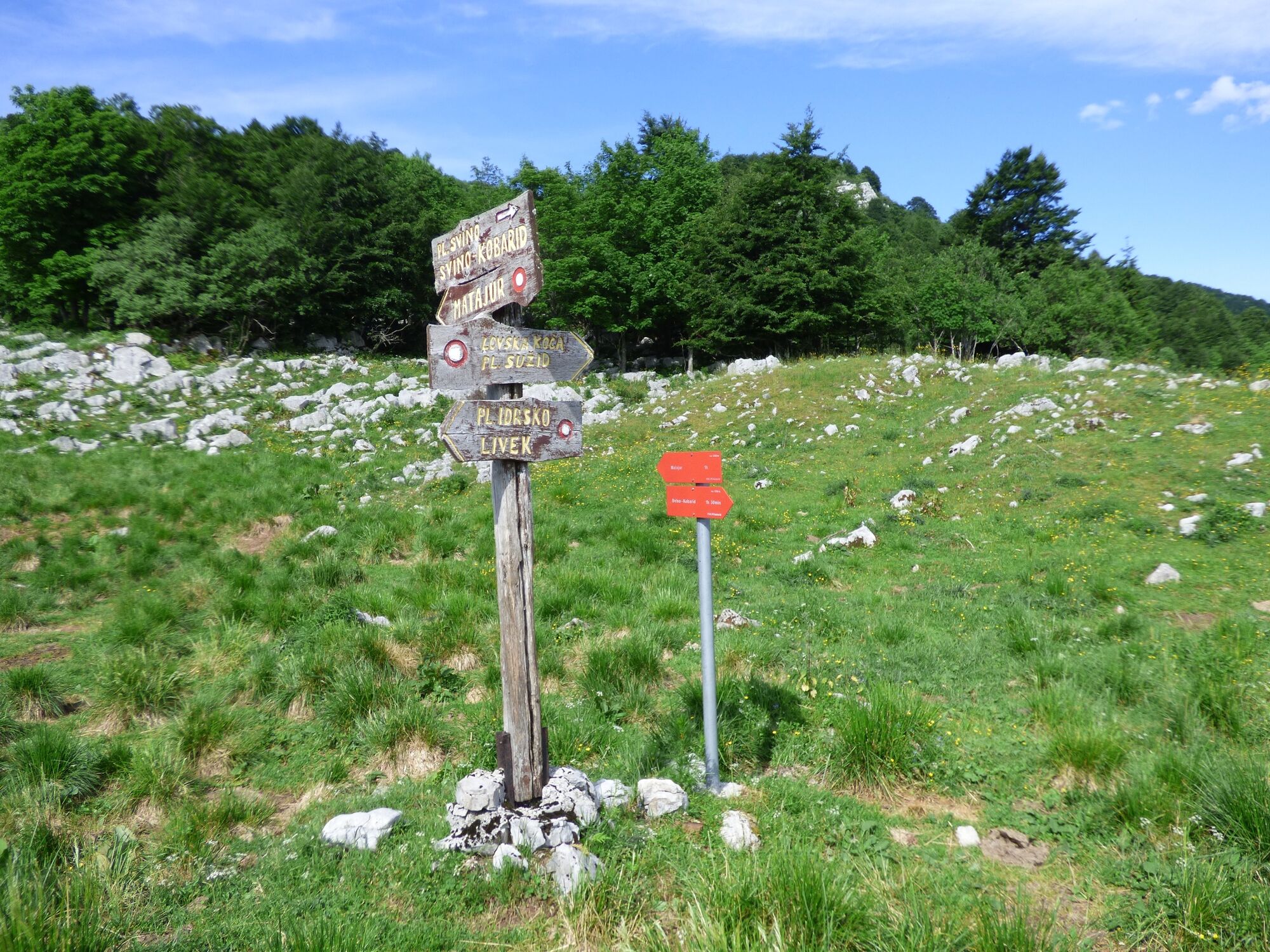
Srednji vrh (1.323 m)2,1 kmMrzli vrh (1.358 m)2,2 kmMatajur (1.645 m)4,4 kmAlsbach10,5 km
- Meilleure saison
-
janv.févr.marsavrilmaijuinjuil.aoûtsept.oct.nov.déc.
- Hauteur maximale
- 1.622 m
- Point de mire
-
Mt. Matajur (1642 m)
- Profil en hauteur
-
 © outdooractive.com

-

-
AuteurLa randonnée Mt. Matajur (1642 m), a boundary mountain between the Republic of Slovenia and Italy est utilisé par outdooractive.com fourni par.
GPS Downloads


Informations générales
Point de rassemblement
Secret
Flore
Prometteur