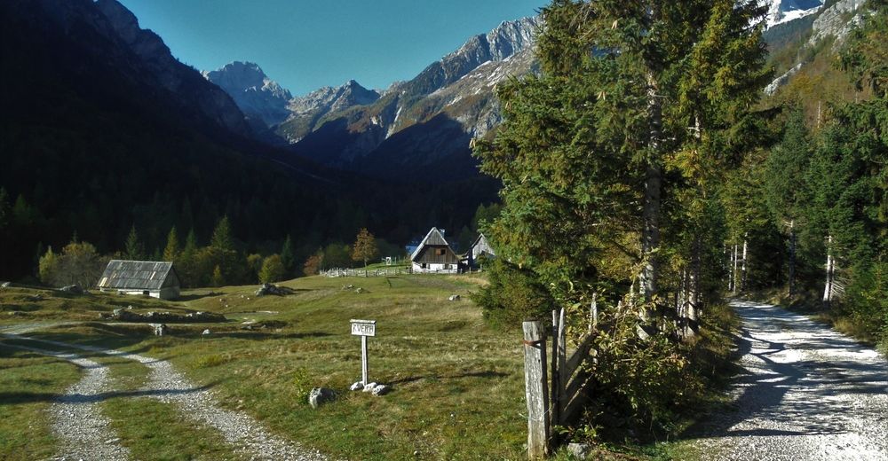
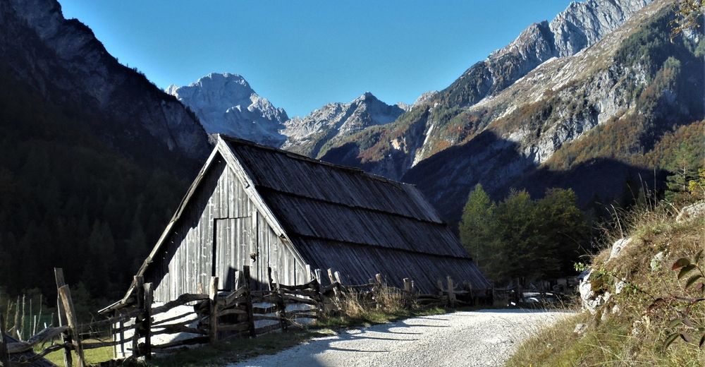
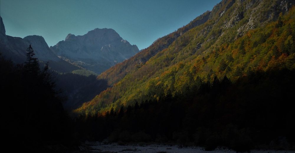
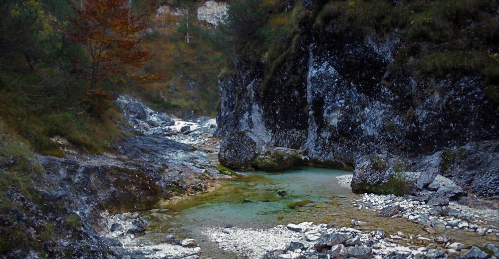
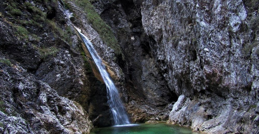
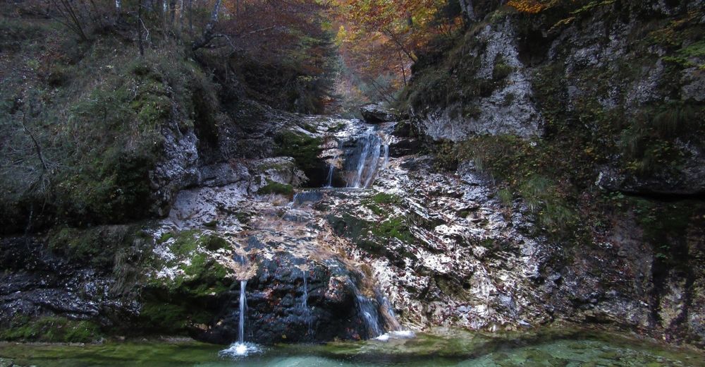
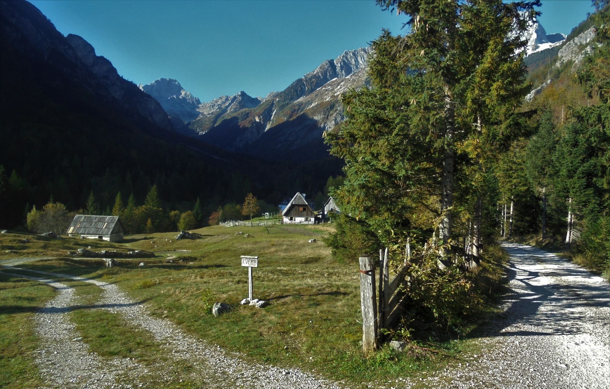
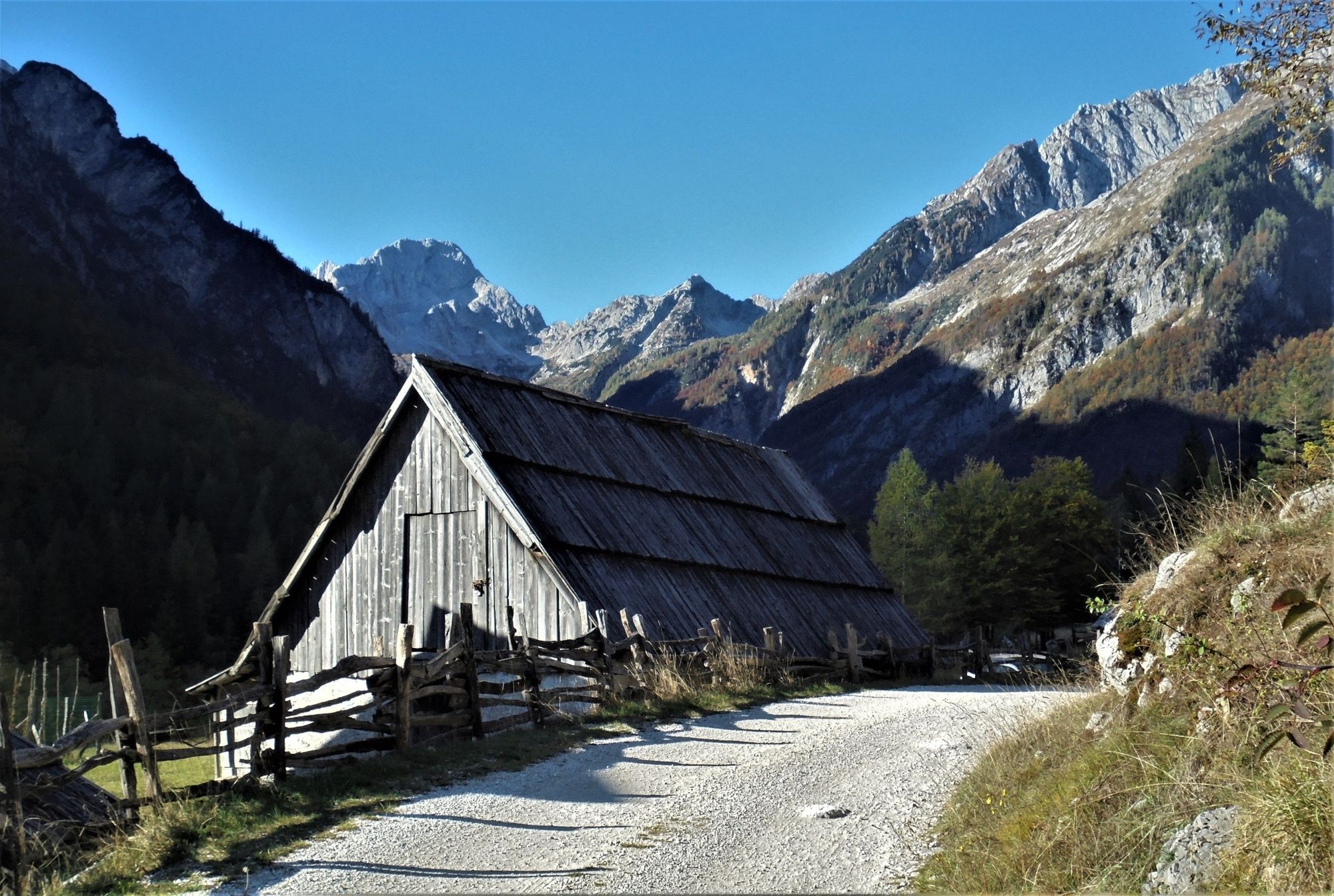
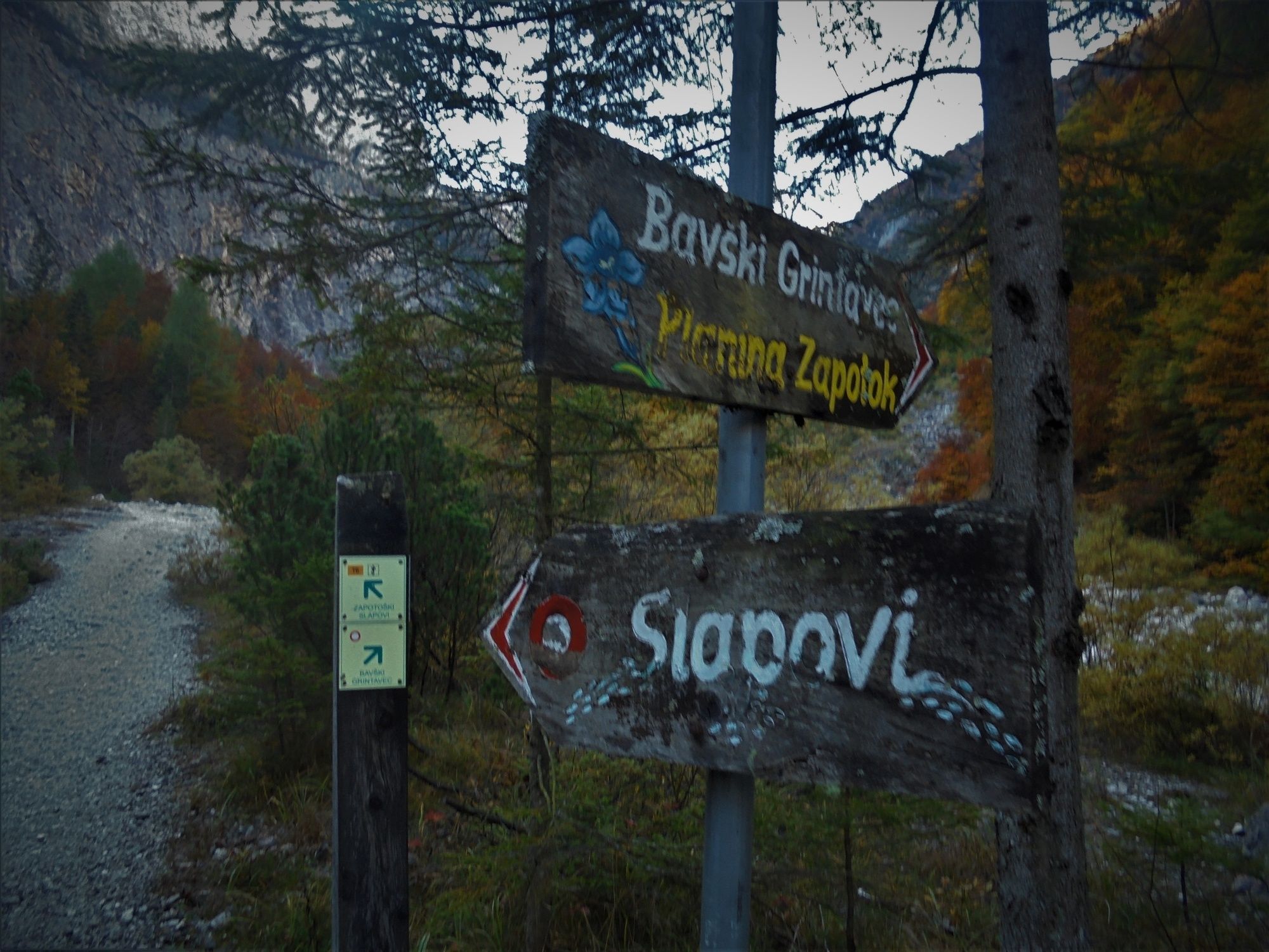
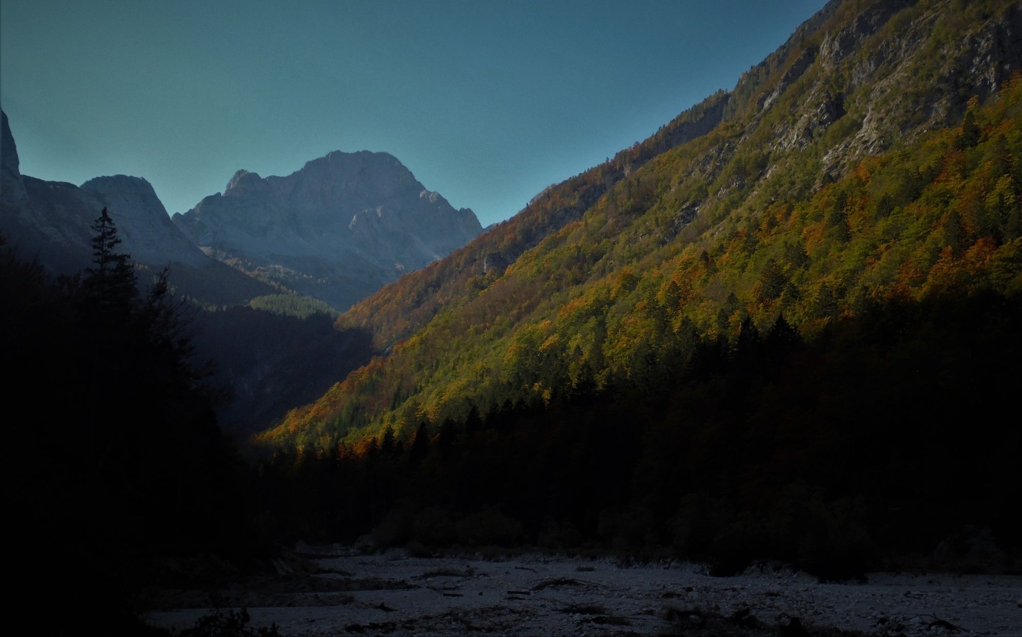
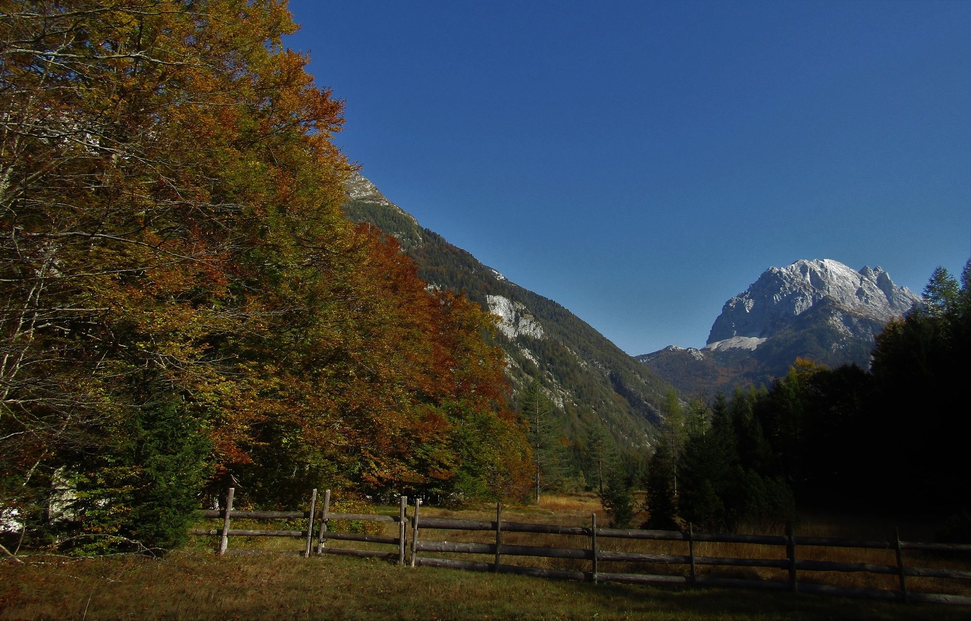
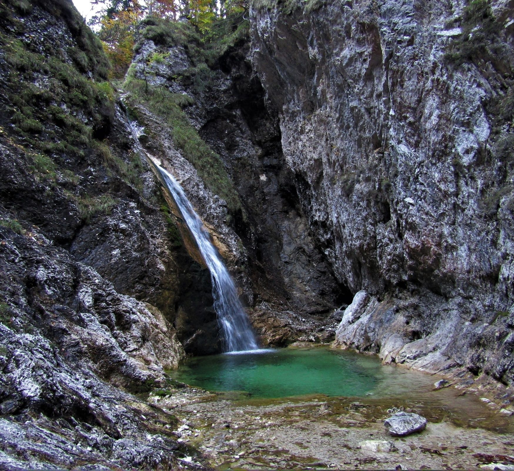
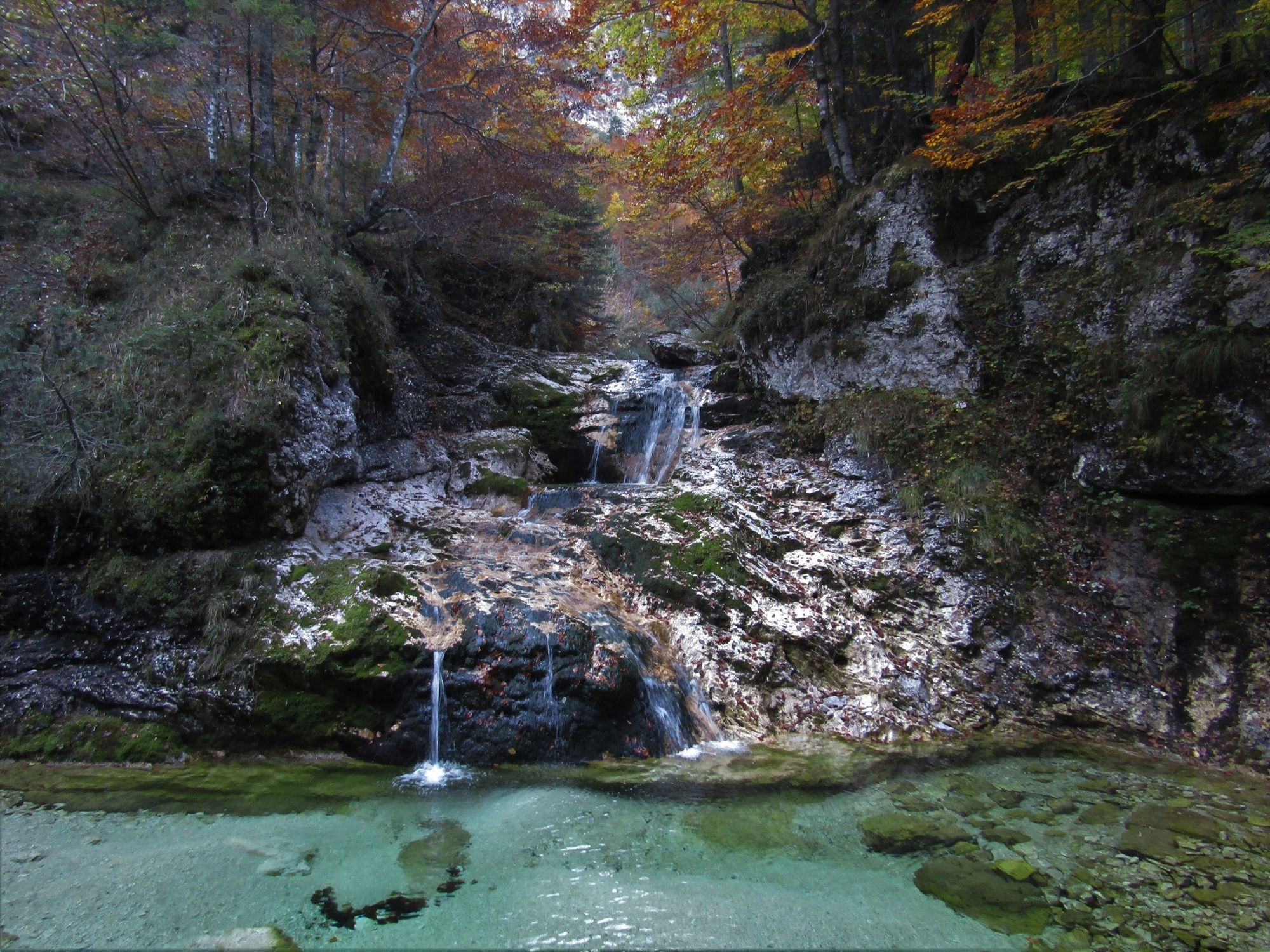
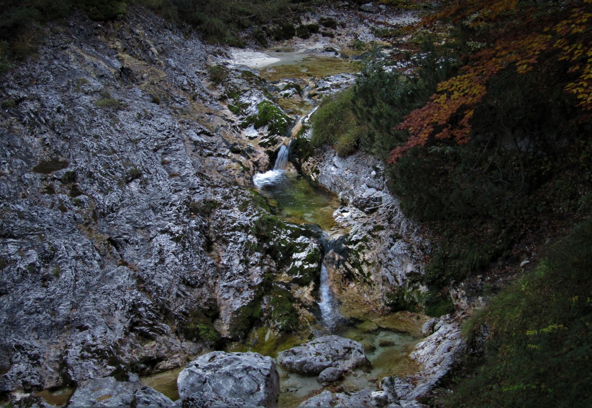
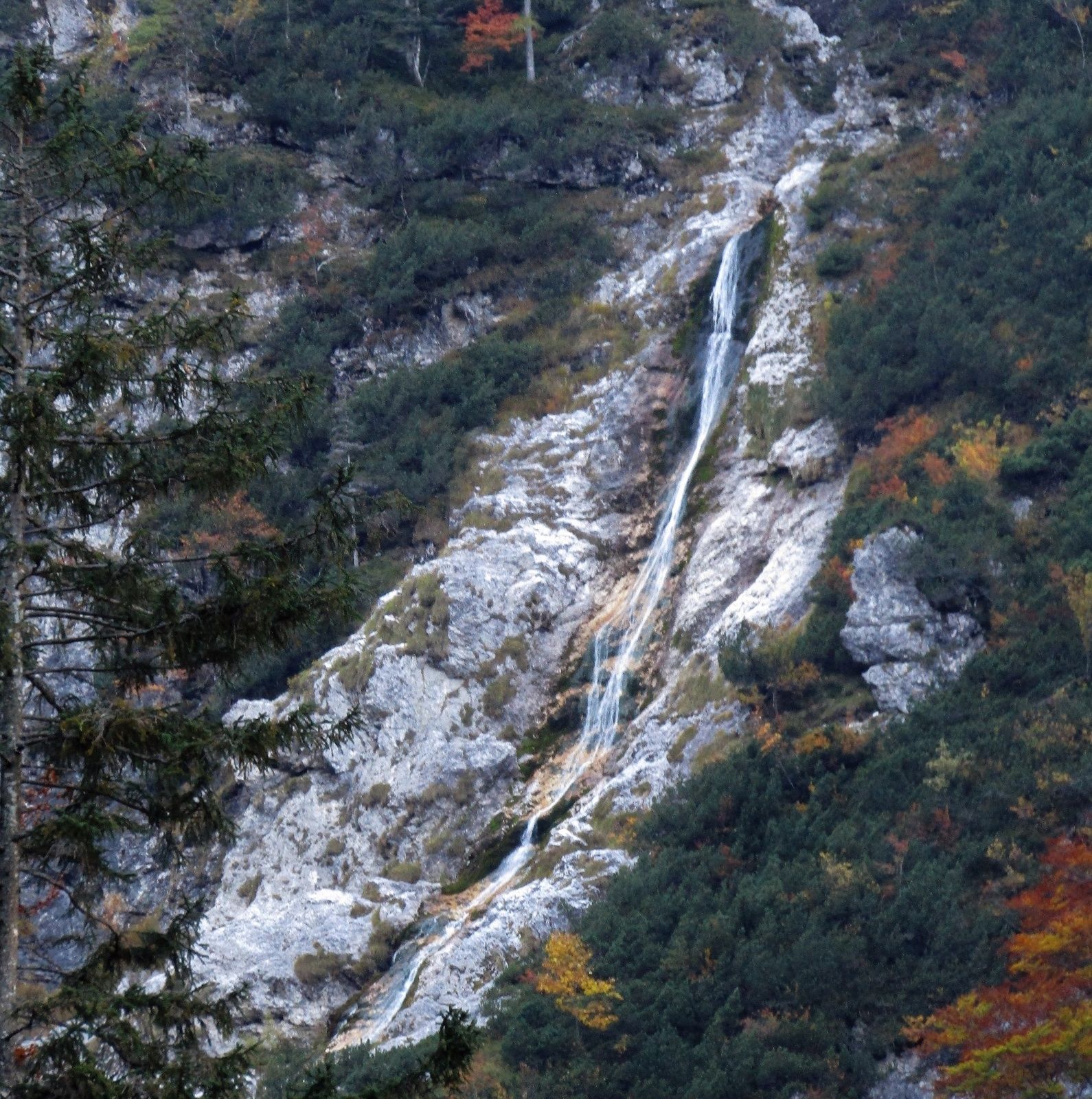
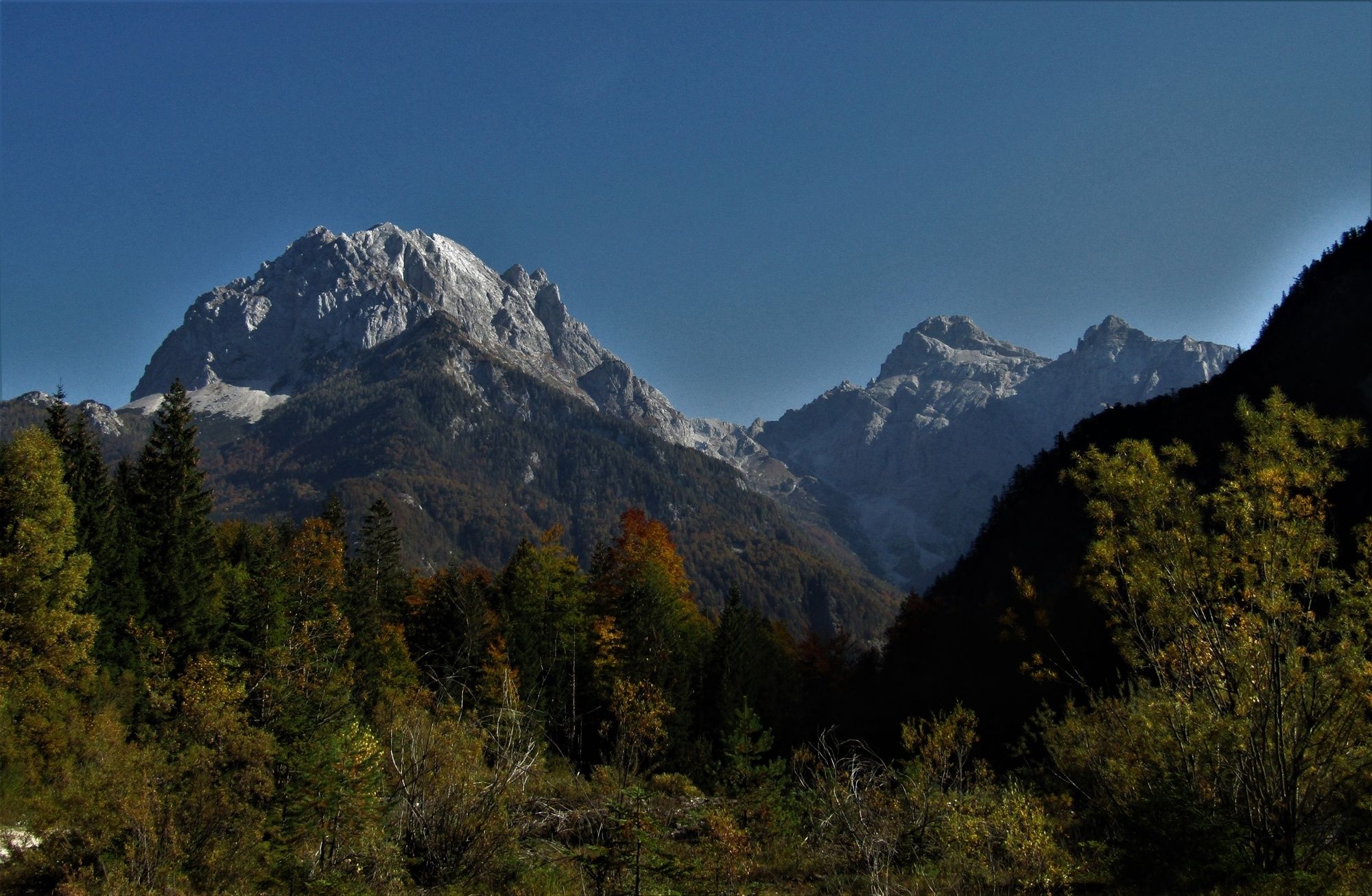
Zapotoški slapovi Waterfalls, natural sight in gable end of the Zadnja Trenta Valley

Randonnée
© Turizem Dolina Soce - Ksenija Vogrinc
© Turizem Dolina Soce - Ksenija Vogrinc

© Turizem Dolina Soce - Ksenija Vogrinc
© Turizem Dolina Soce - Ksenija Vogrinc
© Turizem Dolina Soce - Ksenija Vogrinc
© Turizem Dolina Soce - Ksenija Vogrinc
© Turizem Dolina Soce - Ksenija Vogrinc
© Turizem Dolina Soce - Ksenija Vogrinc
© Turizem Dolina Soce - Ksenija Vogrinc

© Turizem Dolina Soce - Ksenija Vogrinc

- Brève description
-
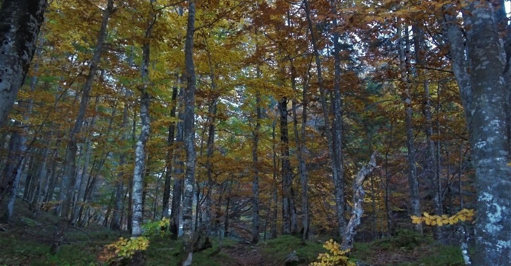
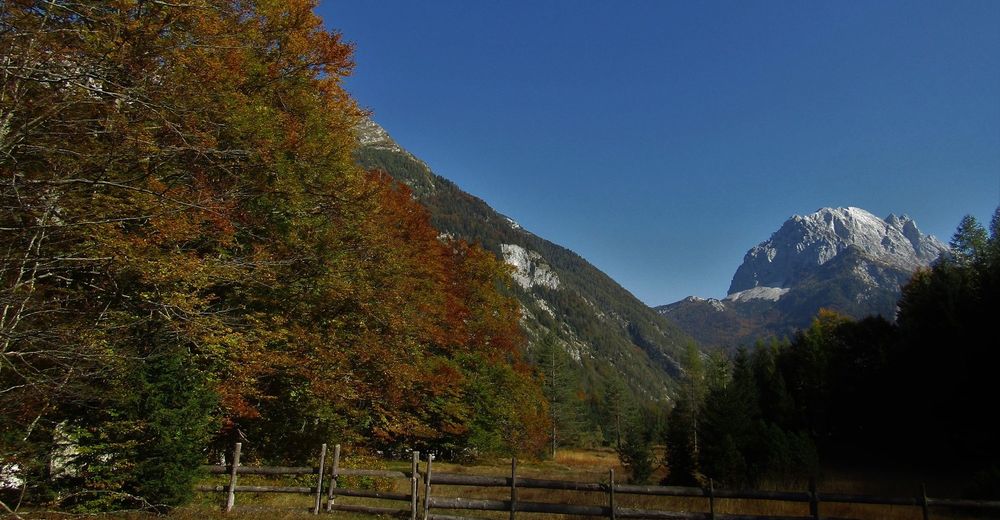
The Suhi potok Stream creates wonderful waterfalls hidden in the embrace of the gable end of the Zadnja Trenta Valley. You can reach and admire them after an hour of easy walking from the cottage at the source of the Soča River.
- Difficulté
-
moyen
- Évaluation
-
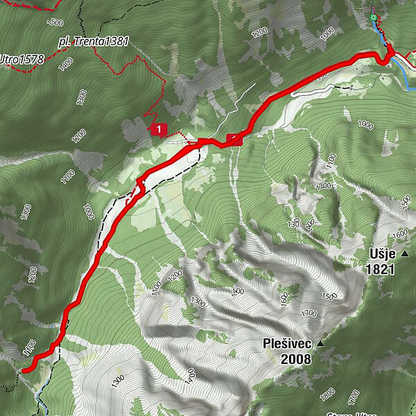
- Parcours
-
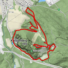
Koča pri izviru Soče7,1 km
- Meilleure saison
-
janv.févr.marsavrilmaijuinjuil.aoûtsept.oct.nov.déc.
- Hauteur maximale
- 1.036 m
- Point de mire
-
Zapotoški slapovi Waterfalls
- Profil en hauteur
-
 © outdooractive.com


-

-
AuteurLa randonnée Zapotoški slapovi Waterfalls, natural sight in gable end of the Zadnja Trenta Valley est utilisé par outdooractive.com fourni par.
GPS Downloads


Informations générales
Point de rassemblement
Prometteur
Autres parcours dans les régions
-
Region Villach - Faaker See - Ossiacher See
2056
-
Goriška
387
-
Trenta
152