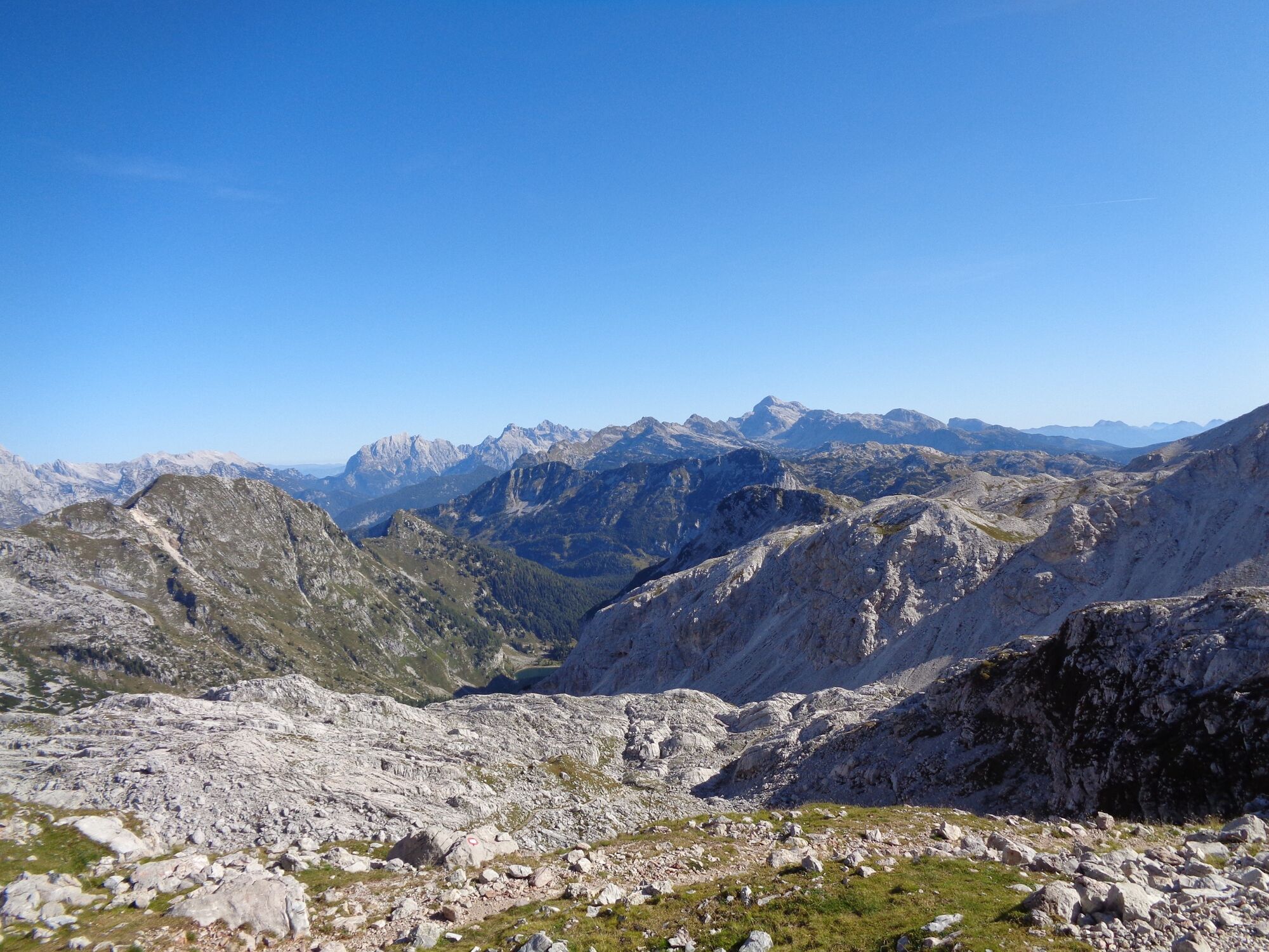
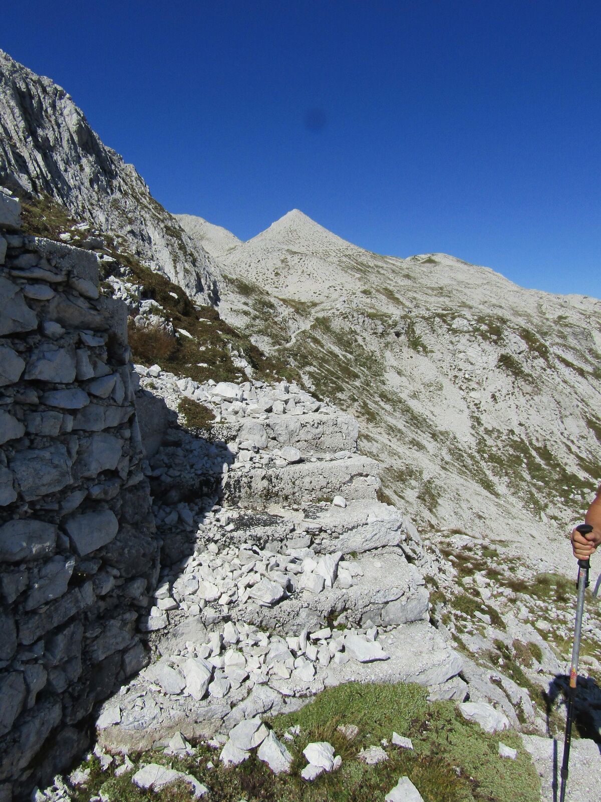
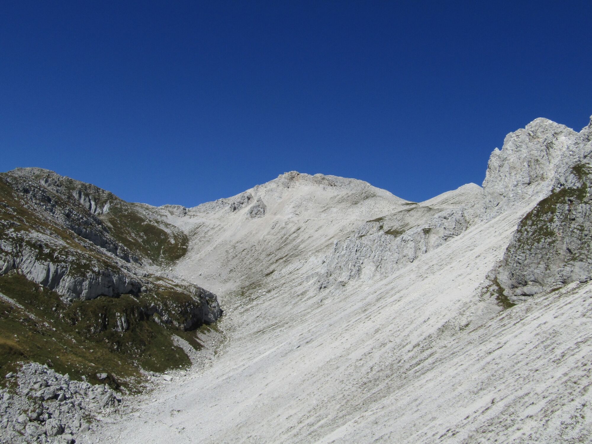
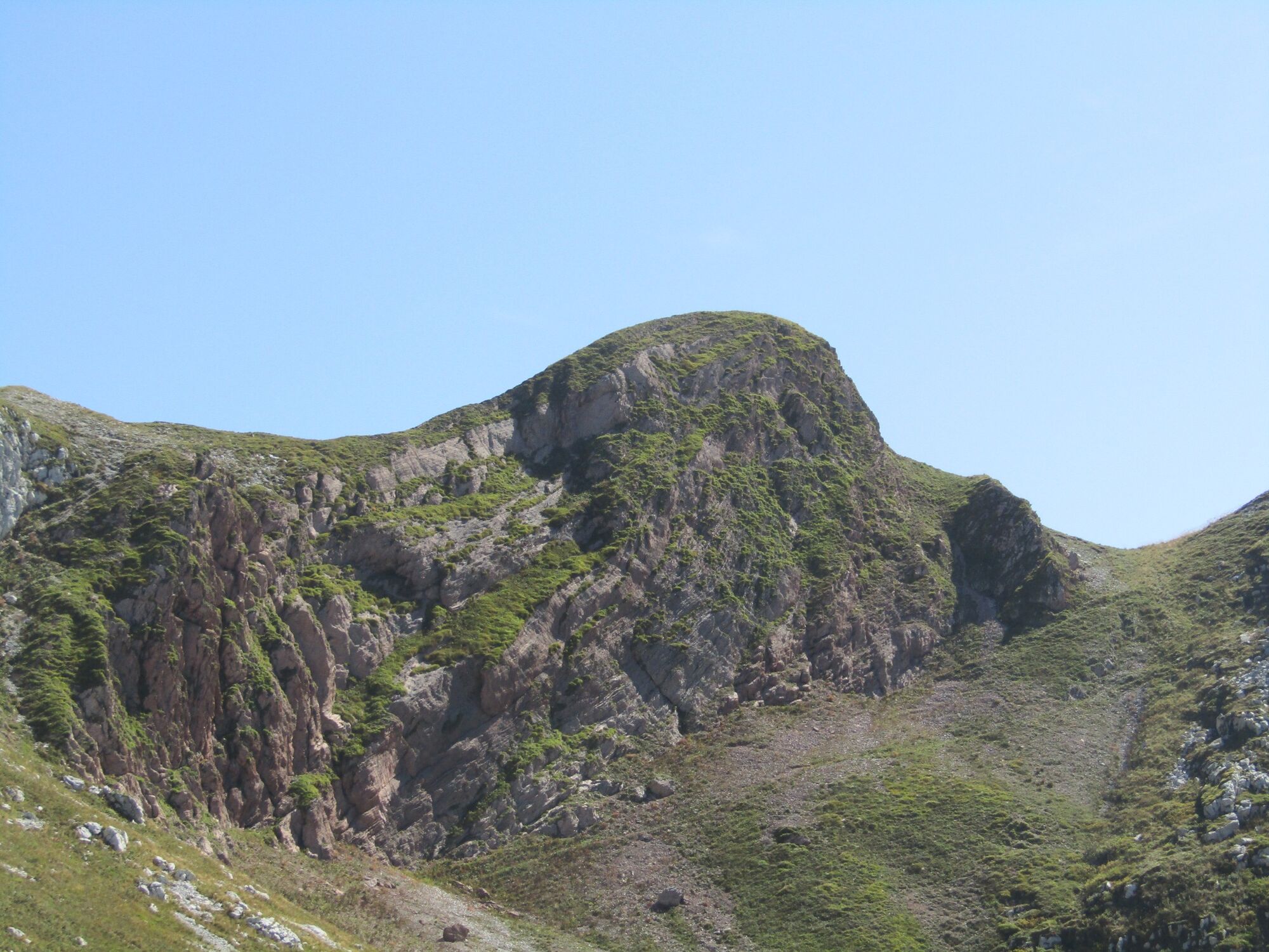
Mt. Vrh nad Peski (2,176 m) across Mt. Batognica (2,165 m)

Randonnée

© Turizem Dolina Soce - Ksenija Vogrinc

© Turizem Dolina Soce - Ksenija Vogrinc

© Turizem Dolina Soce - Ksenija Vogrinc

© Turizem Dolina Soce - Ksenija Vogrinc

© Turizem Dolina Soce - Ksenija Vogrinc

© Turizem Dolina Soce - Ksenija Vogrinc

© Turizem Dolina Soce - Ksenija Vogrinc

© Turizem Dolina Soce - Ksenija Vogrinc

© Turizem Dolina Soce - Ksenija Vogrinc

© Turizem Dolina Soce - Ksenija Vogrinc

- Brève description
-
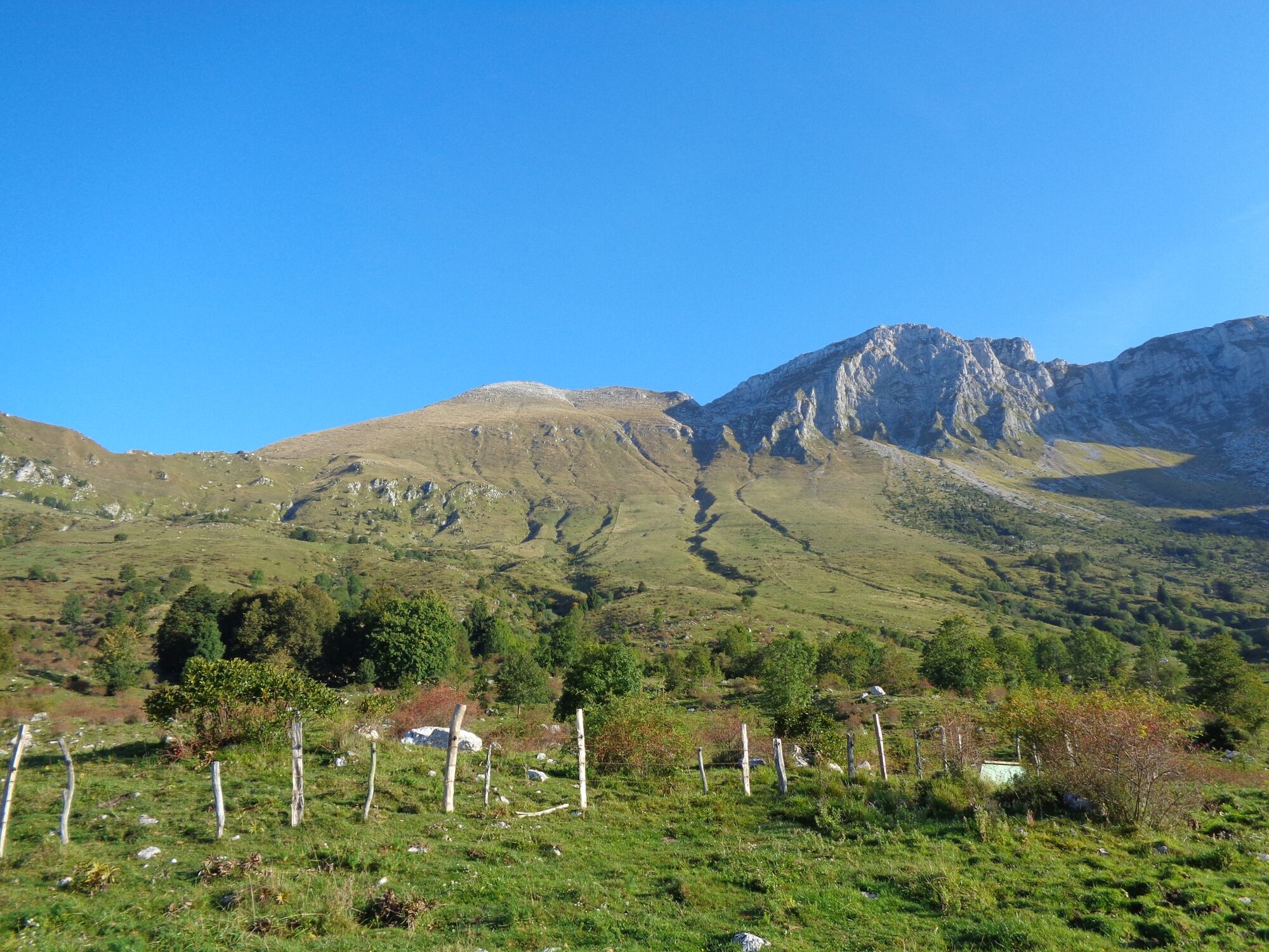
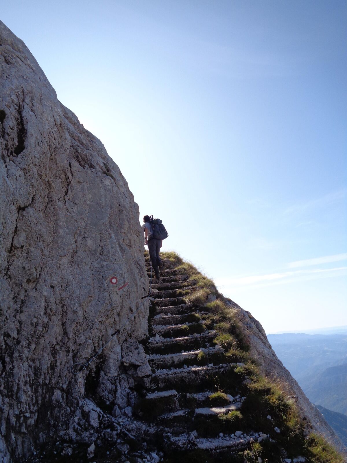
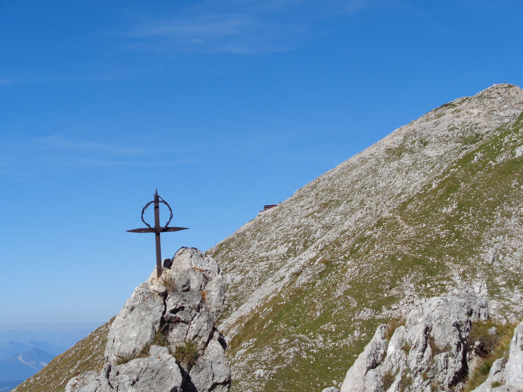
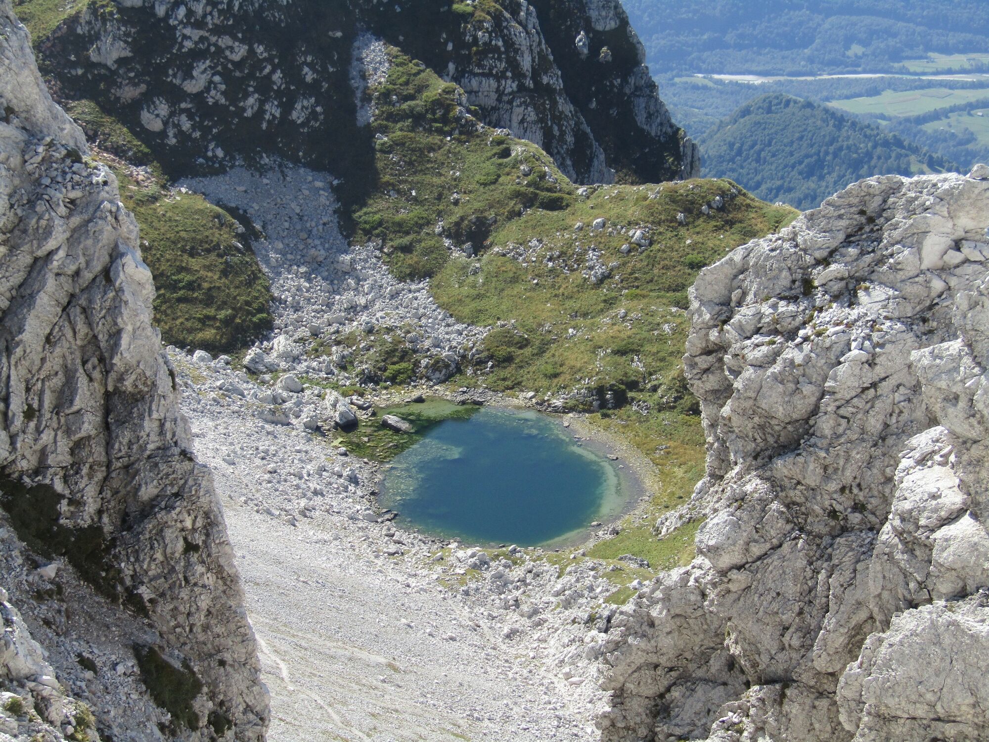
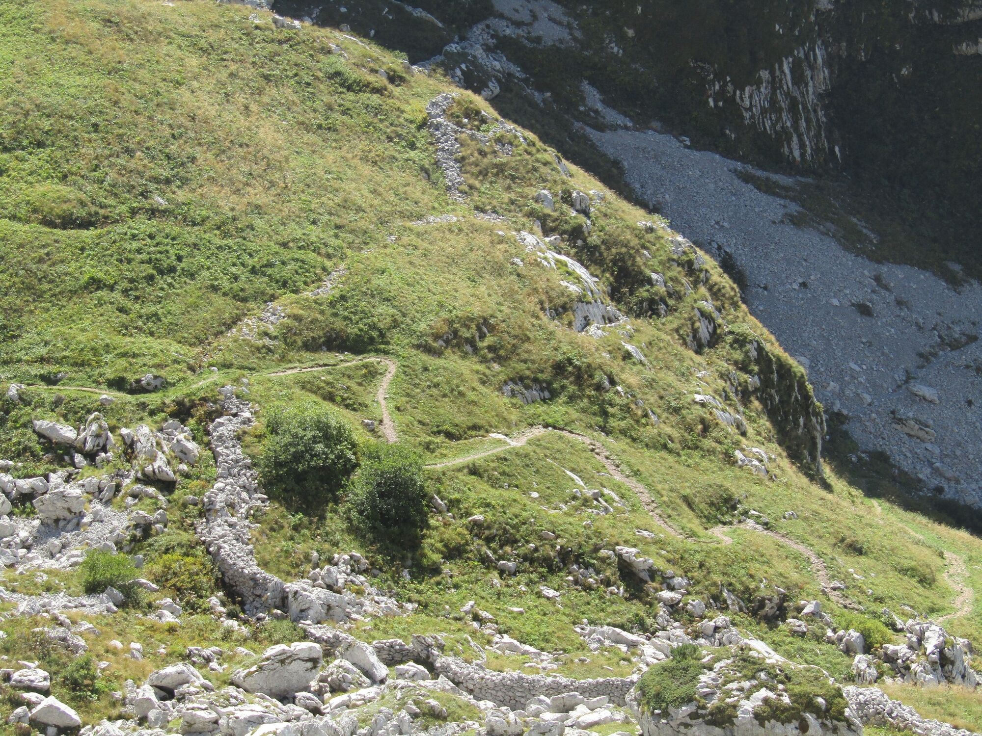
Mt. Vrh nad Peski is a prominent cone-shaped mountain in the middle of the white Peski scree slopes whose whiteness is well visible from all of the surrounding peaks. It can be accessed along several trails, however, it is still a peak where you can enjoy in silence.
- Difficulté
-
moyen
- Évaluation
-
- Parcours
-
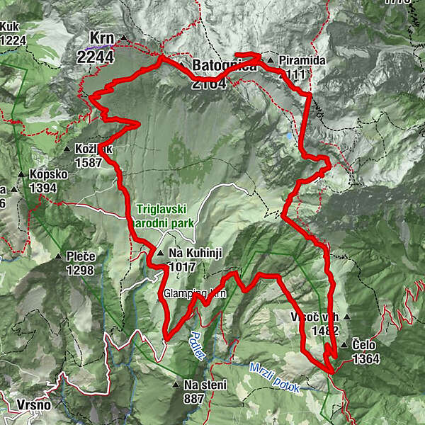
Planina Kuhinja0,3 kmKrnska škrbina (2.058 m)4,9 kmMonte Rosso (2.164 m)5,3 kmVrh nad Peski (2.176 m)6,9 kmMali Peski (2.063 m)8,0 kmPeski8,3 kmPlanina Sleme11,7 kmPolog16,7 kmKrennberg17,7 kmCerkev sv. Roka17,8 km
- Meilleure saison
-
janv.févr.marsavrilmaijuinjuil.aoûtsept.oct.nov.déc.
- Hauteur maximale
- 2.144 m
- Point de mire
-
Mt. Vrh nad Peski (2,176 m)
- Profil en hauteur
-
 © outdooractive.com
-

-
AuteurLa randonnée Mt. Vrh nad Peski (2,176 m) across Mt. Batognica (2,165 m) est utilisé par outdooractive.com fourni par.
GPS Downloads


Informations générales
Point de rassemblement
Culturel/Historiquement
Secret
Flore
Prometteur


