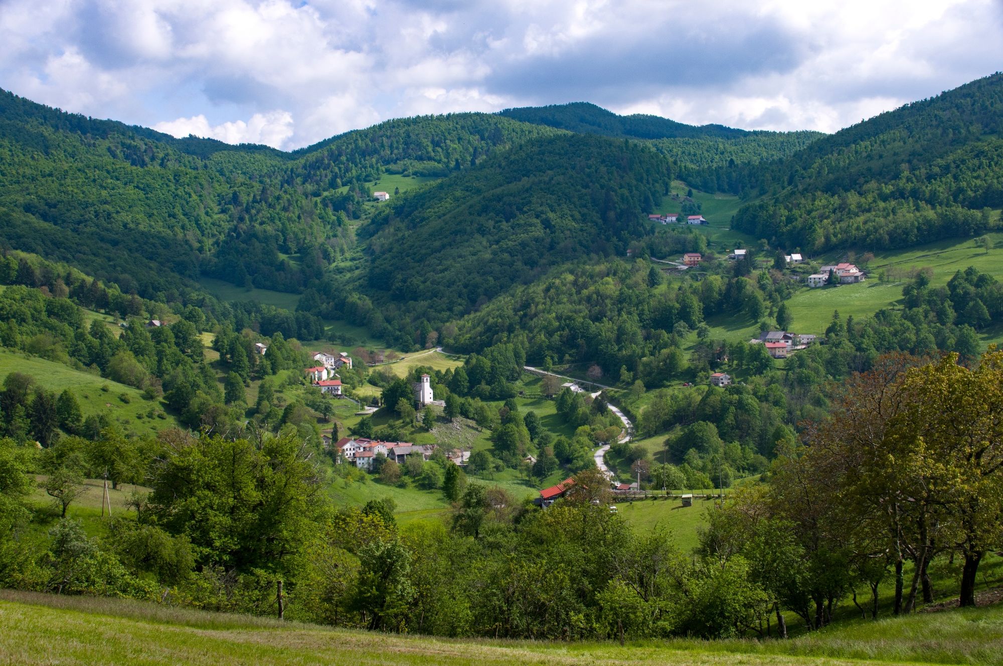
© Turizem Dolina Soce - David Štulc Zornik

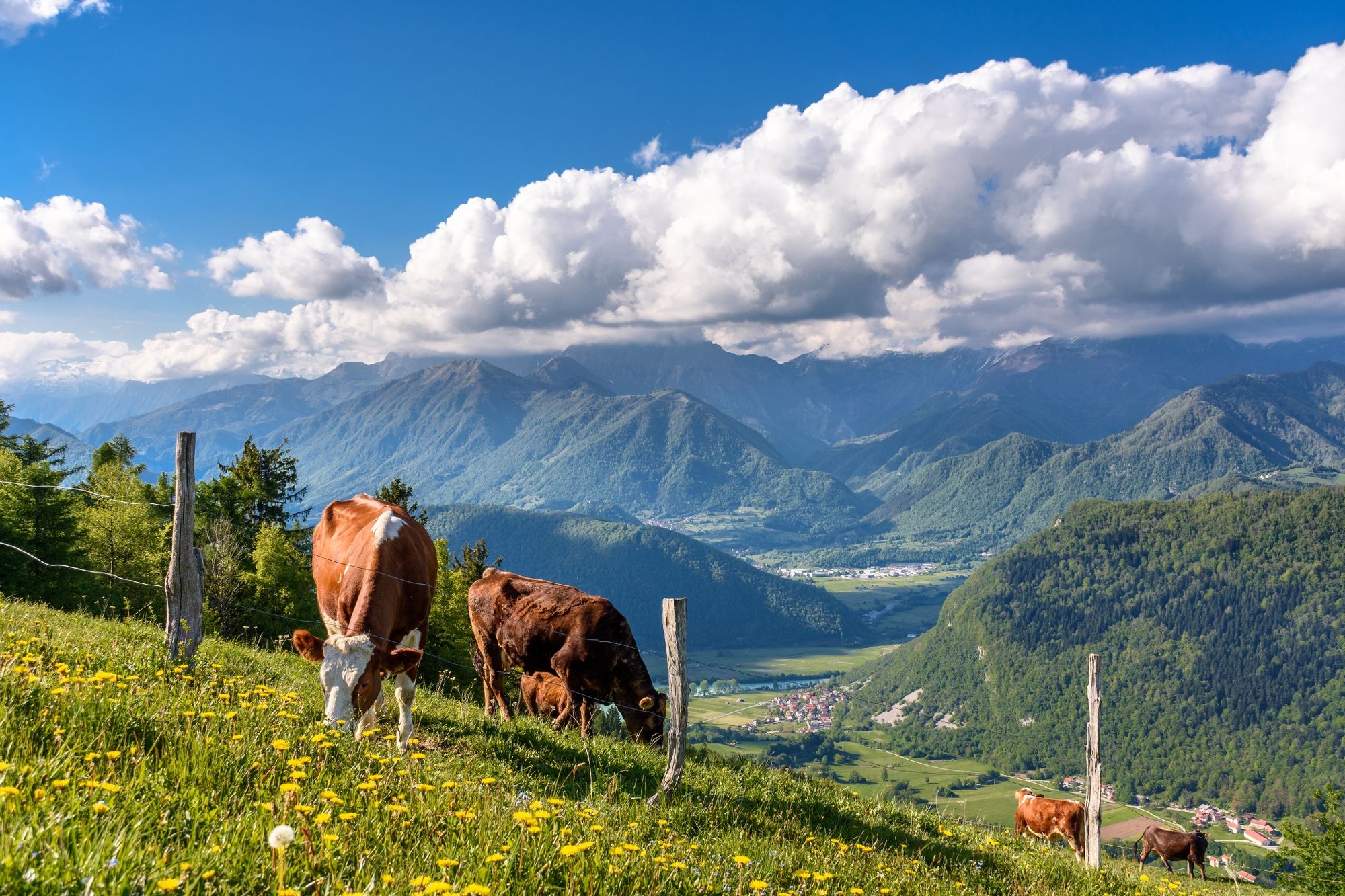
© Turizem Dolina Soce - Miljko Lesjak

© Turizem Dolina Soce - Miljko Lesjak

- Brève description
-
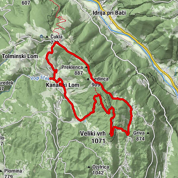
Above the confluence of the Soča and Idrijca rivers, the Banjšice Plateau rises to the south. At its most north-western part you can find a dry valley whose slopes are populated with small and large groups of houses that form the villages of KANALSKI and TOLMINSKI LOM, while across the ridge, above the dry Čepovan valley, you can find a small village of GRUDNICA. This is the area of Lom.
- Difficulté
-
facile
- Évaluation
-
- Parcours
-
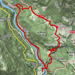
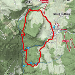
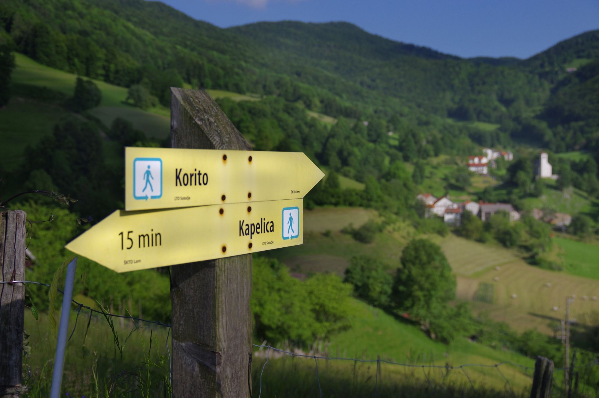
Cerkev sv. Primoža in Felicijana0,4 kmKanalski Lom0,5 kmBrezno v Špilah (950 m)3,2 kmVeliki vrh (1.071 m)4,7 kmGrudnica6,5 kmLedince8,2 kmŠirokolandija9,3 kmŠiroko9,8 kmKanalski Lom11,8 km
- Hauteur maximale
- 1.047 m
- Profil en hauteur
-
 © outdooractive.com
-

-
AuteurLa randonnée Lom is my home est utilisé par outdooractive.com fourni par.
GPS Downloads


Informations générales
Point de rassemblement
Culturel/Historiquement
Autres parcours dans les régions
-
Brda
114
-
Most na Soči
78