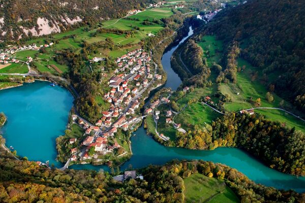
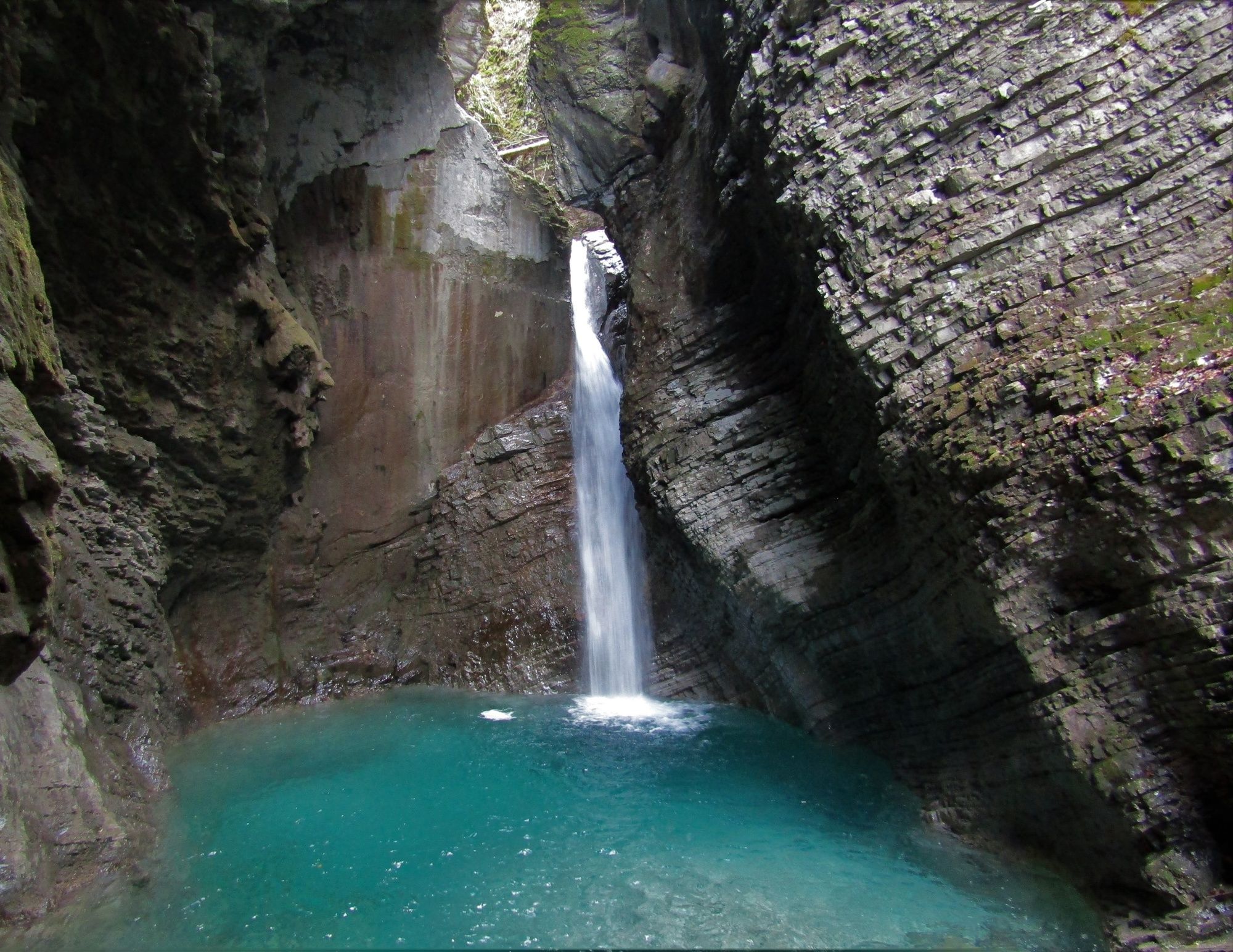
Along the Soča River through the Kobarid Gorge to the village of Magozd and the Kozjak Waterfall

Chemin thématique
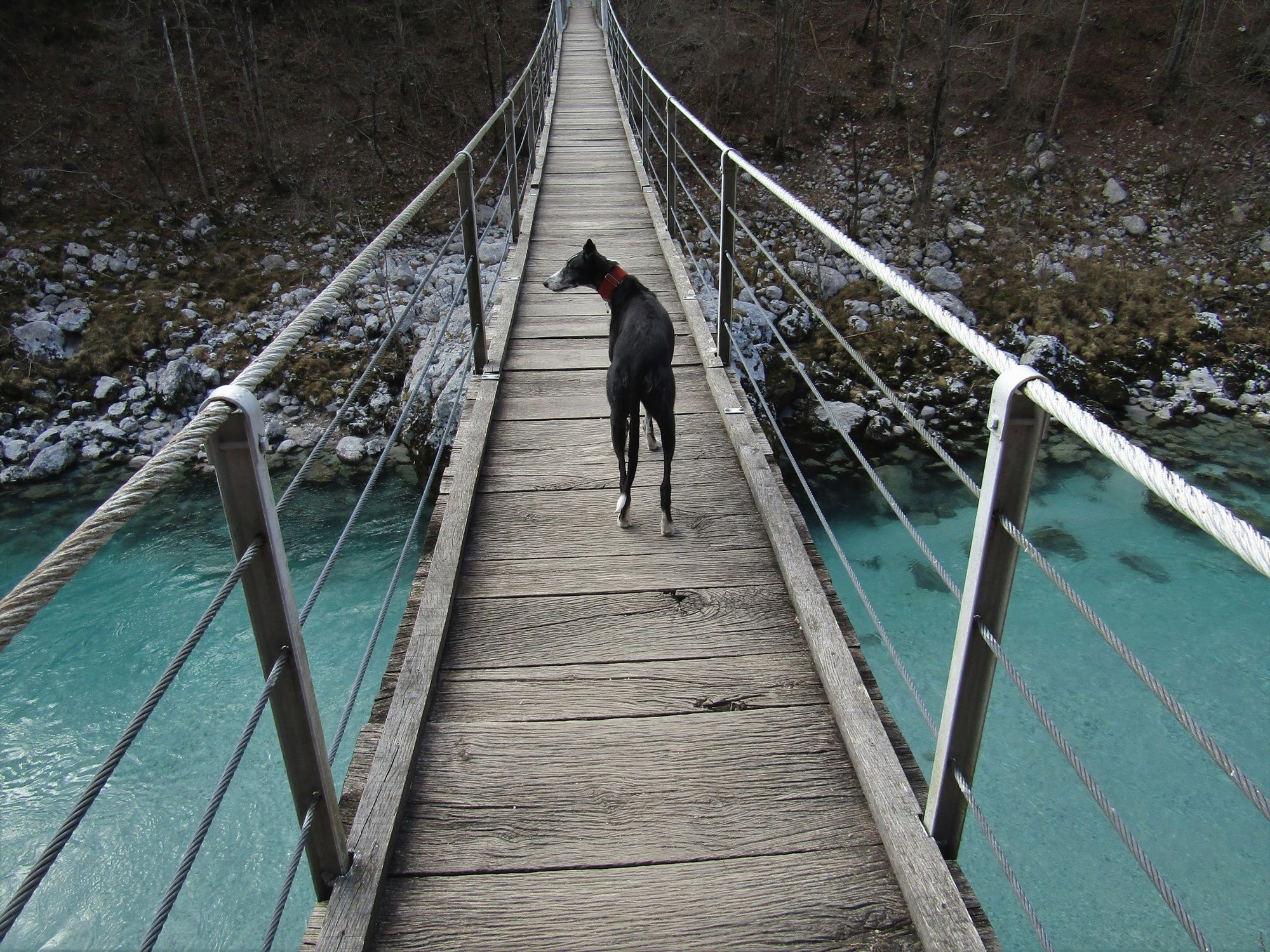
© Turizem Dolina Soce - Ksenija Vogrinc
© Turizem Dolina Soce - Ksenija Vogrinc
© Turizem Dolina Soce - Ksenija Vogrinc
© Turizem Dolina Soce - Ksenija Vogrinc
© Turizem Dolina Soce - Ksenija Vogrinc
© Turizem Dolina Soce - Ksenija Vogrinc
© Turizem Dolina Soce - Ksenija Vogrinc
© Turizem Dolina Soce - Ksenija Vogrinc
© Turizem Dolina Soce - Ksenija Vogrinc
© Turizem Dolina Soce - Ksenija Vogrinc


- Brève description
-
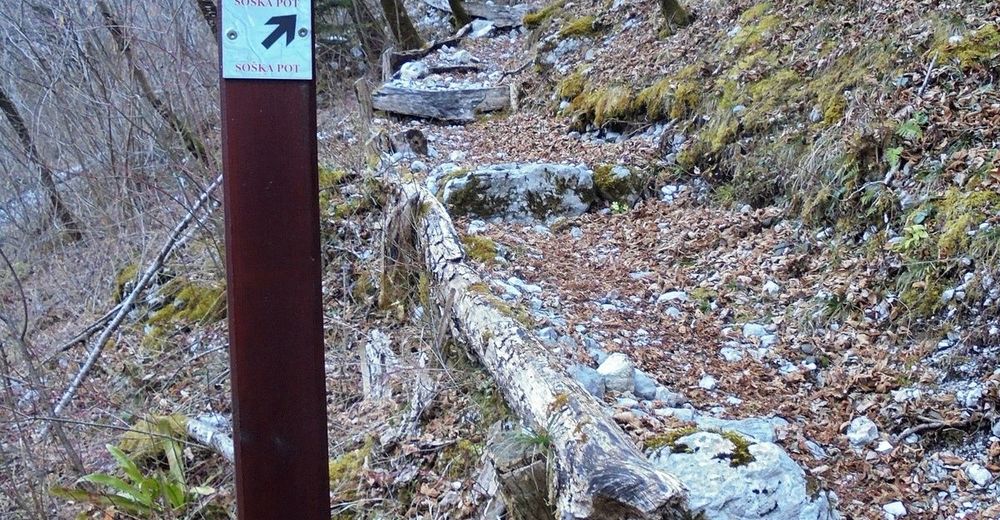
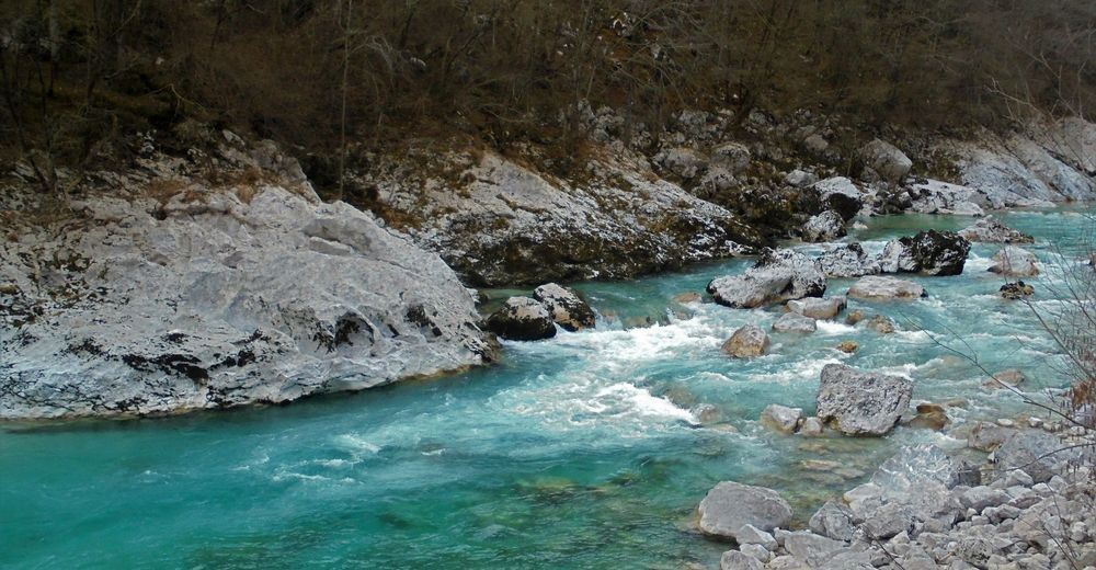
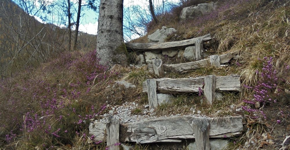
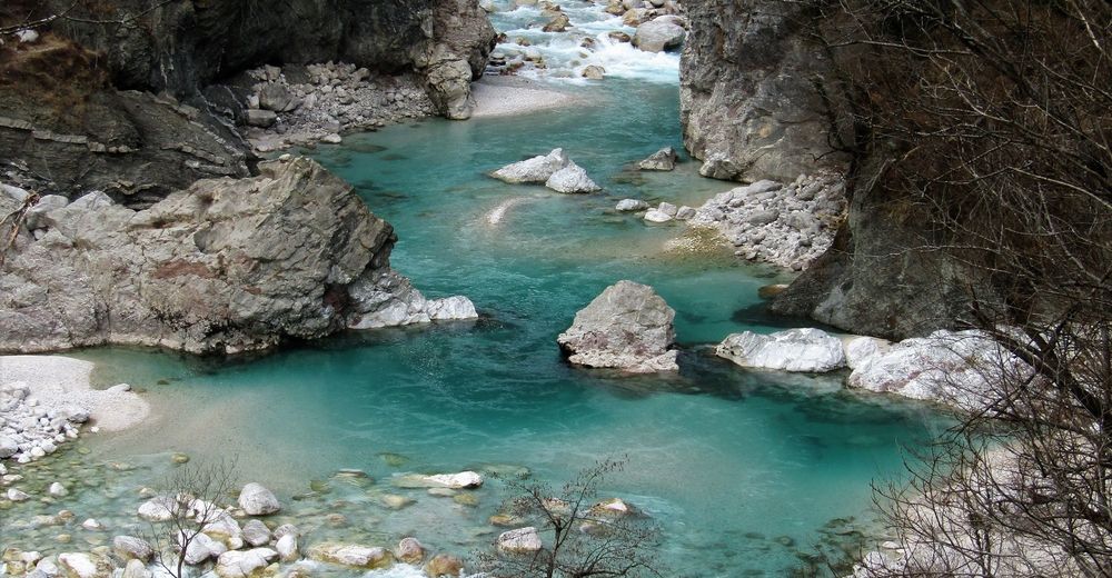
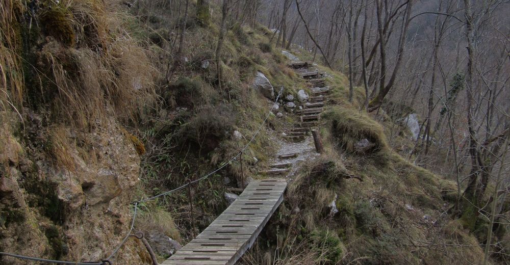
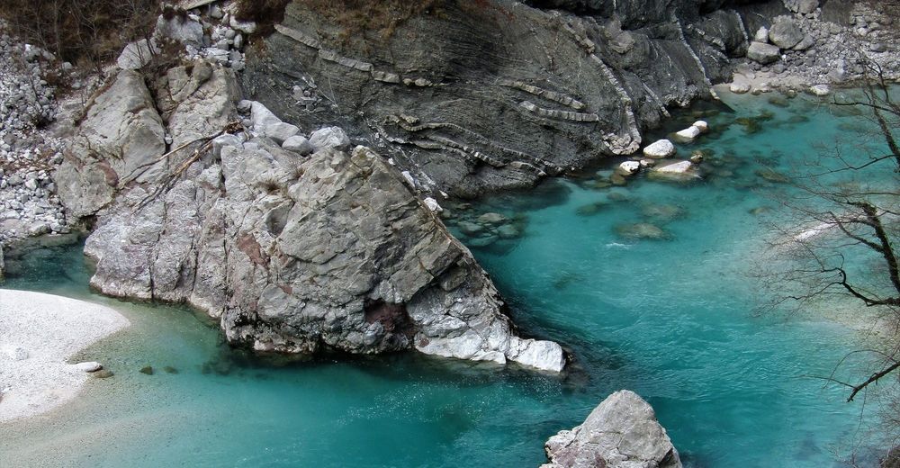
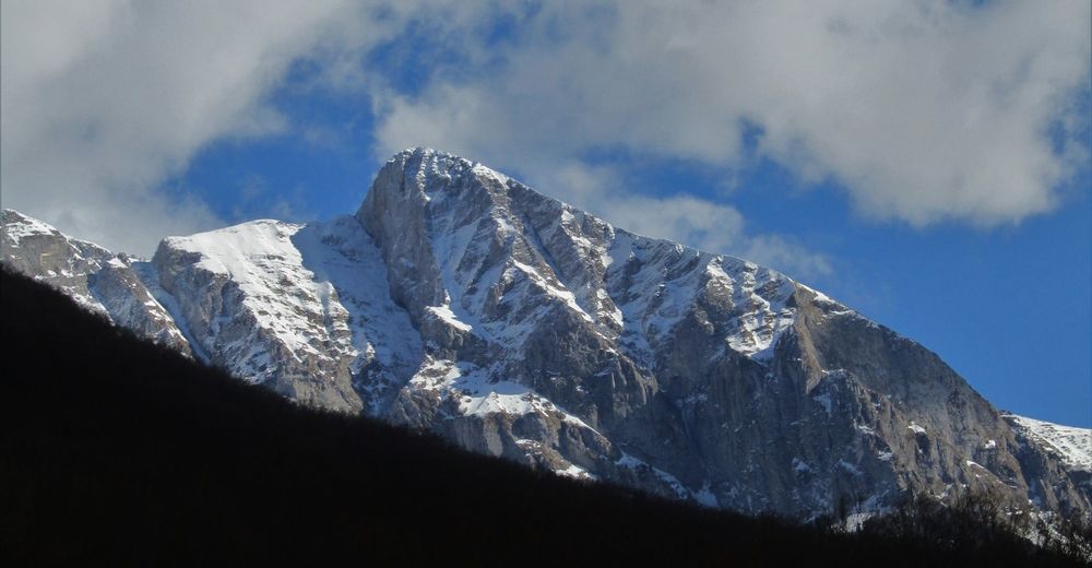
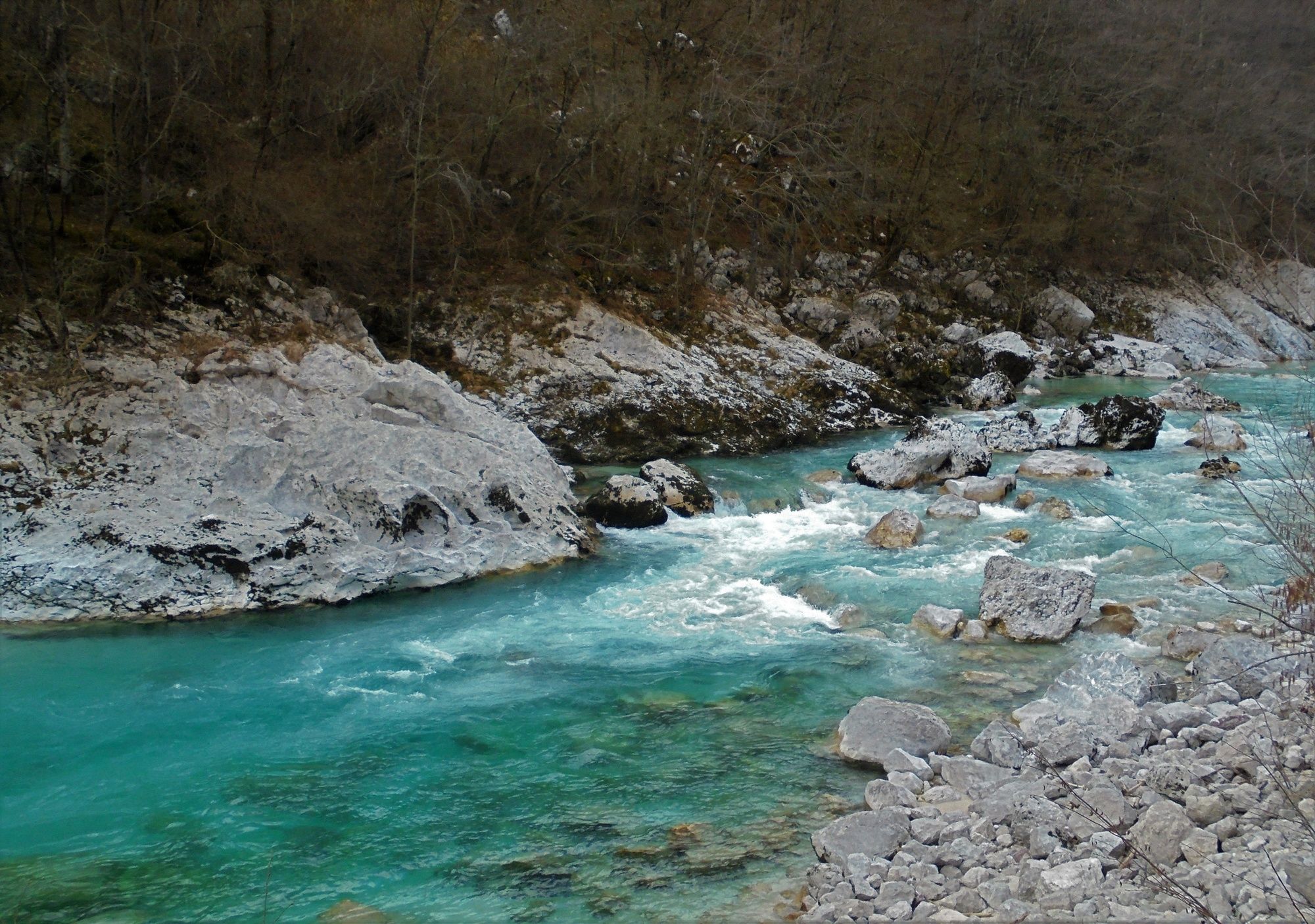
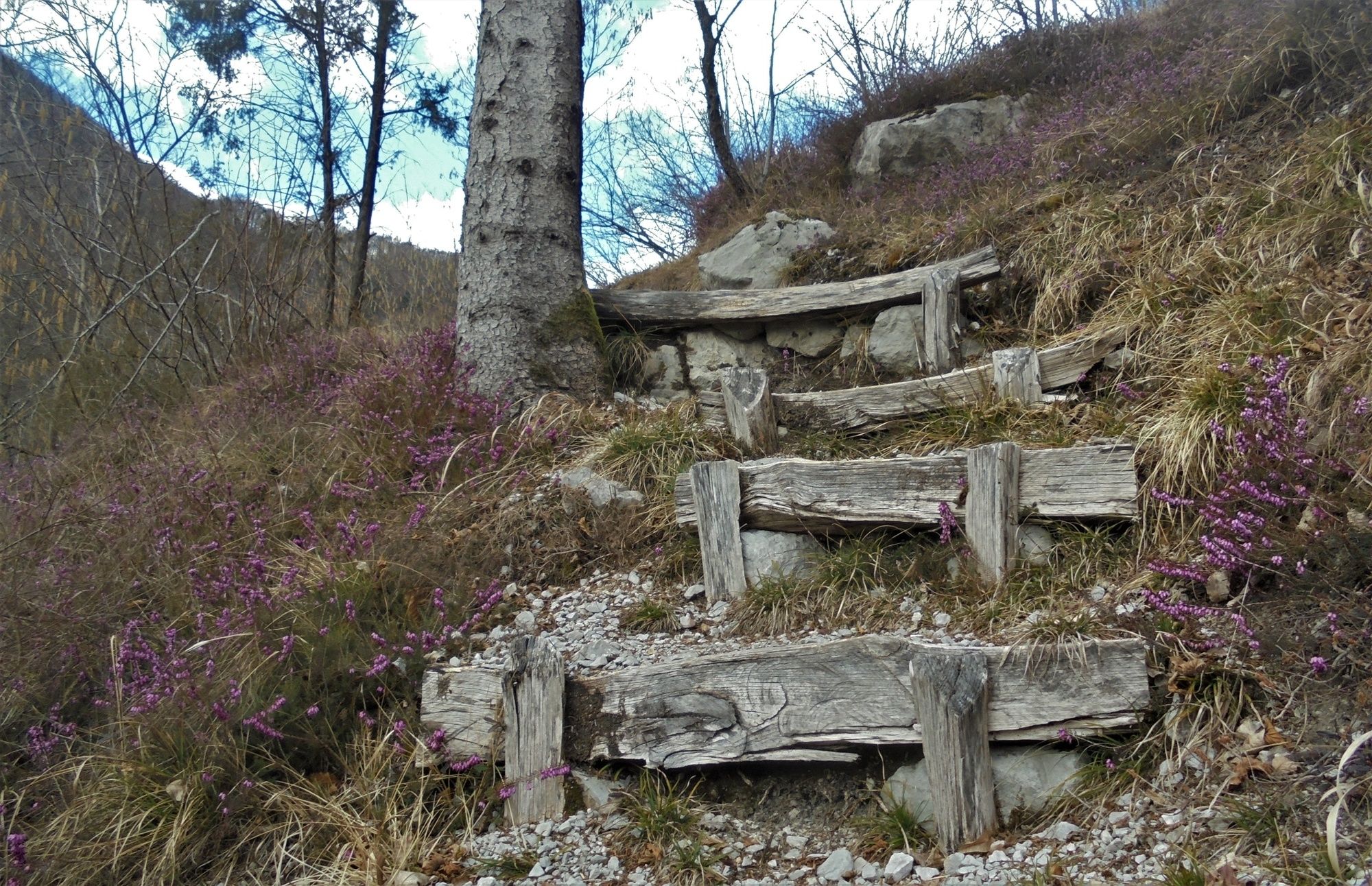
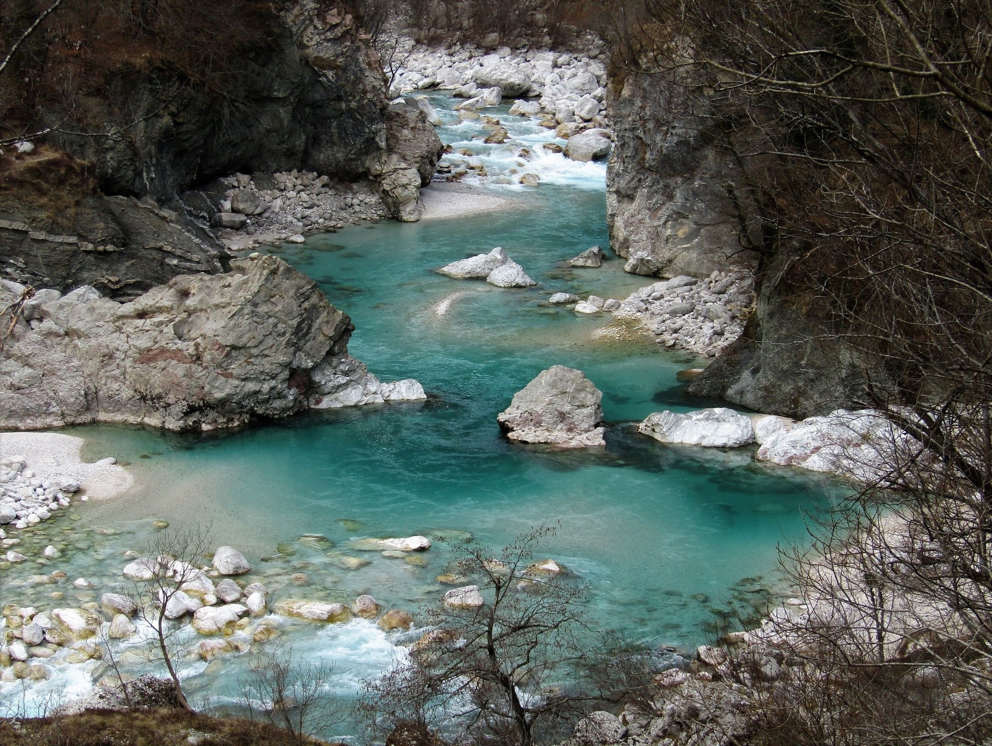
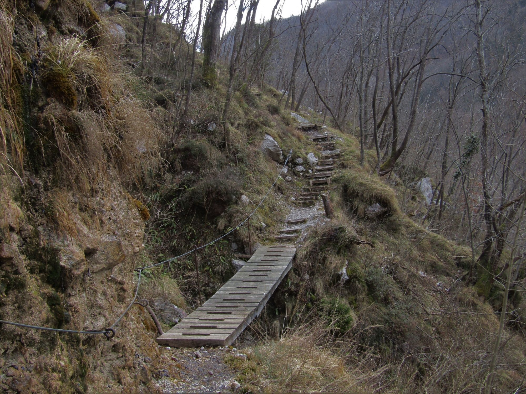
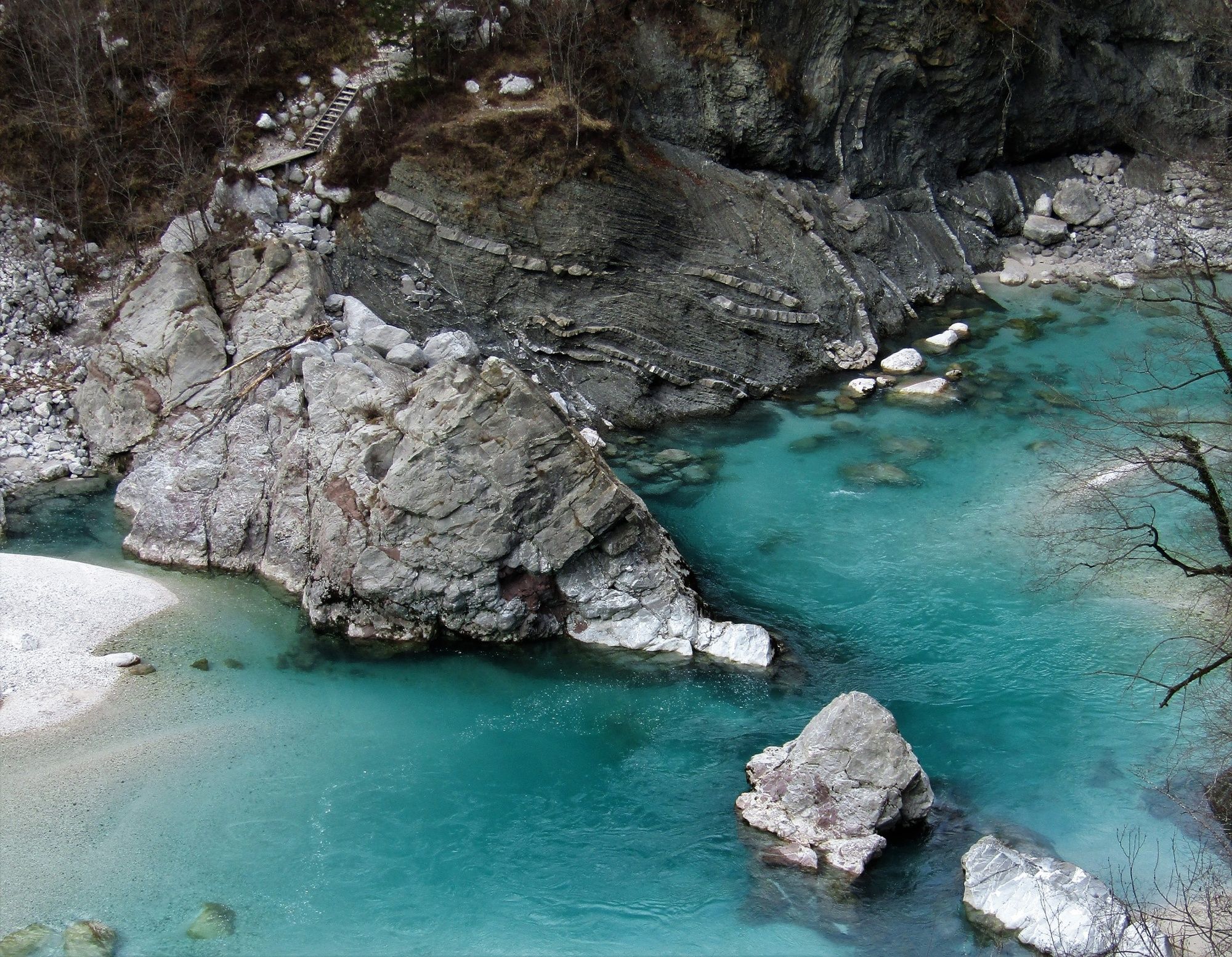
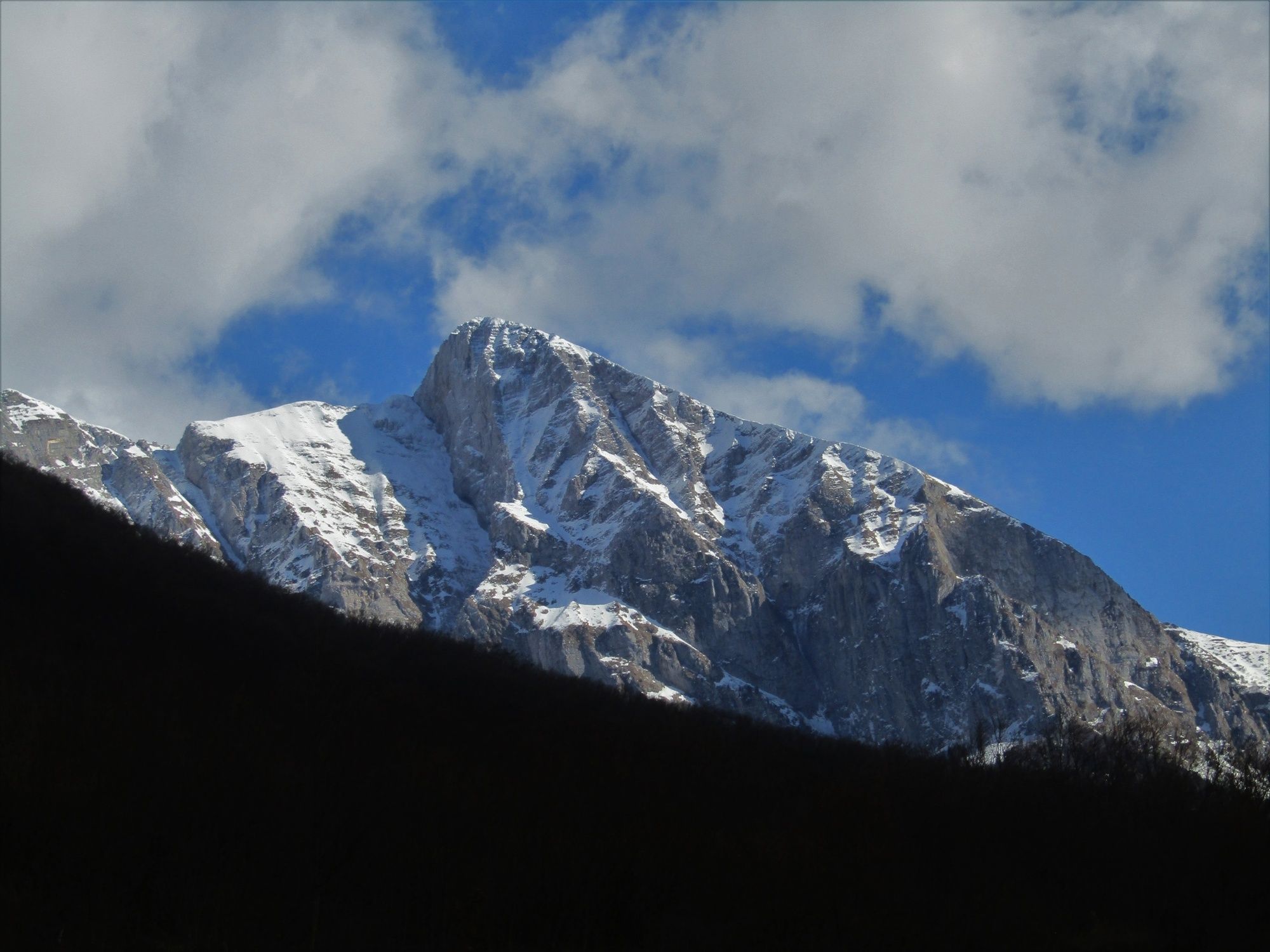
The Soča Trail, one of the finest themed trails of the valley, is surrounded by Mt. Krasji vrh and the ridge of Mt. Polovnik on the right and the emerald Soča River on the left. Along this nicely routed trail you will be able to take care for your body and soul.
- Difficulté
-
moyen
- Évaluation
-
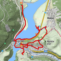
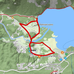
- Parcours
-
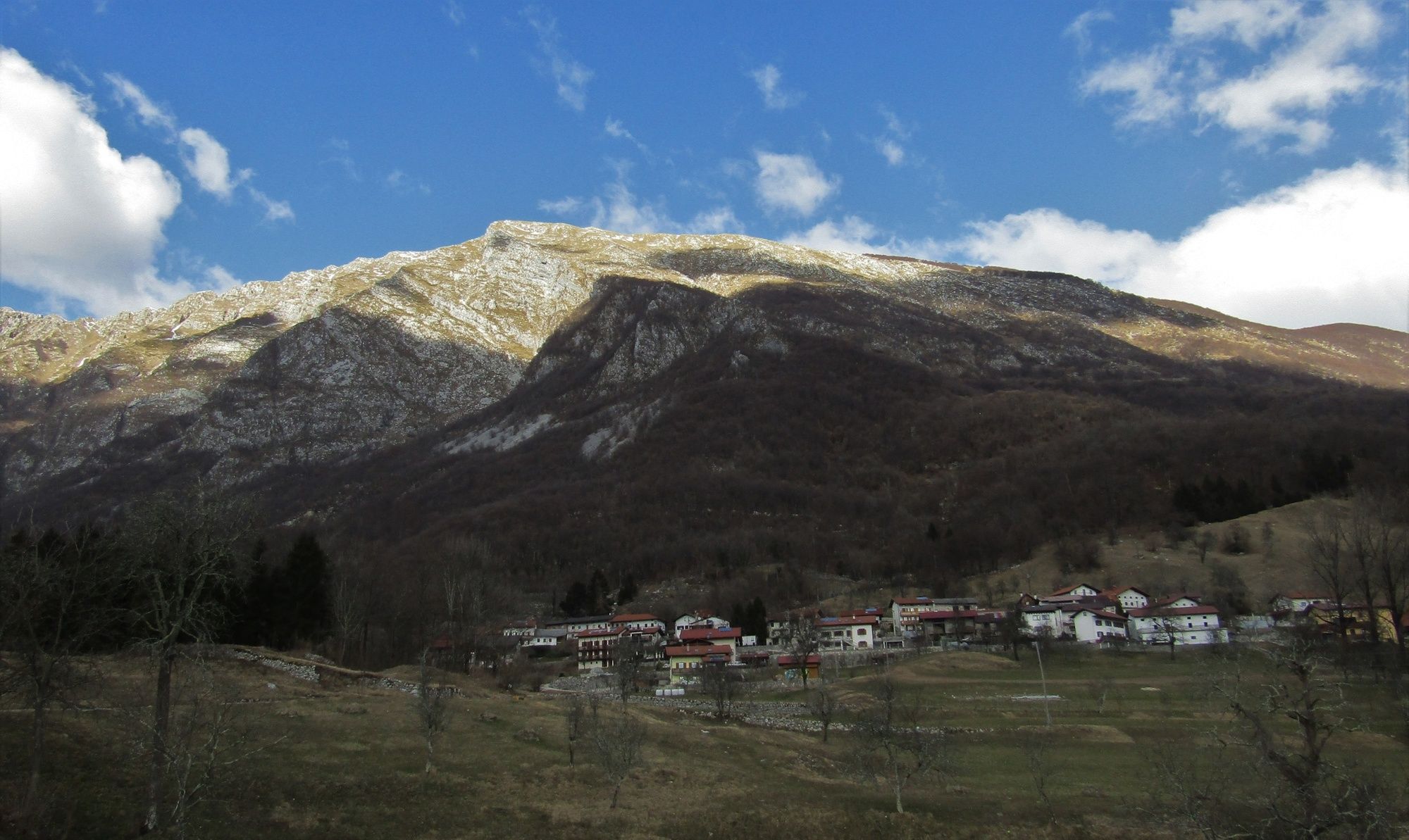
Restaurant Kamp Lazar0,0 kmMagost (457 m)5,2 kmVeliki Kozjak6,5 kmMali Kozjak7,3 kmRestaurant Kamp Lazar8,1 km
- Meilleure saison
-
janv.févr.marsavrilmaijuinjuil.aoûtsept.oct.nov.déc.
- Hauteur maximale
- 460 m
- Point de mire
-
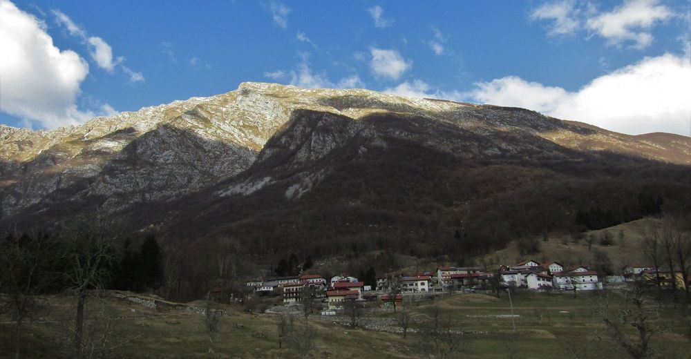
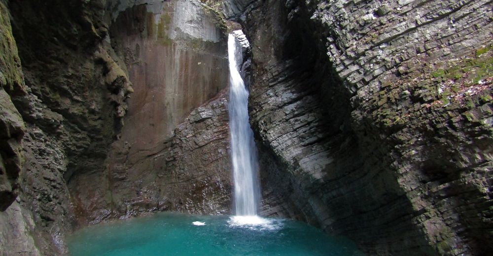
Magozd, Kozjak Waterfall
- Profil en hauteur
-
 © outdooractive.com


-

-
AuteurLa randonnée Along the Soča River through the Kobarid Gorge to the village of Magozd and the Kozjak Waterfall est utilisé par outdooractive.com fourni par.
GPS Downloads


Informations générales
Point de rassemblement
Secret
Flore
Prometteur