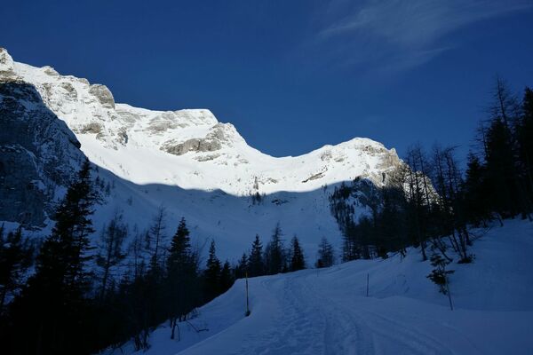
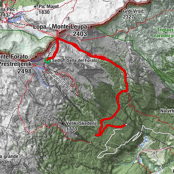
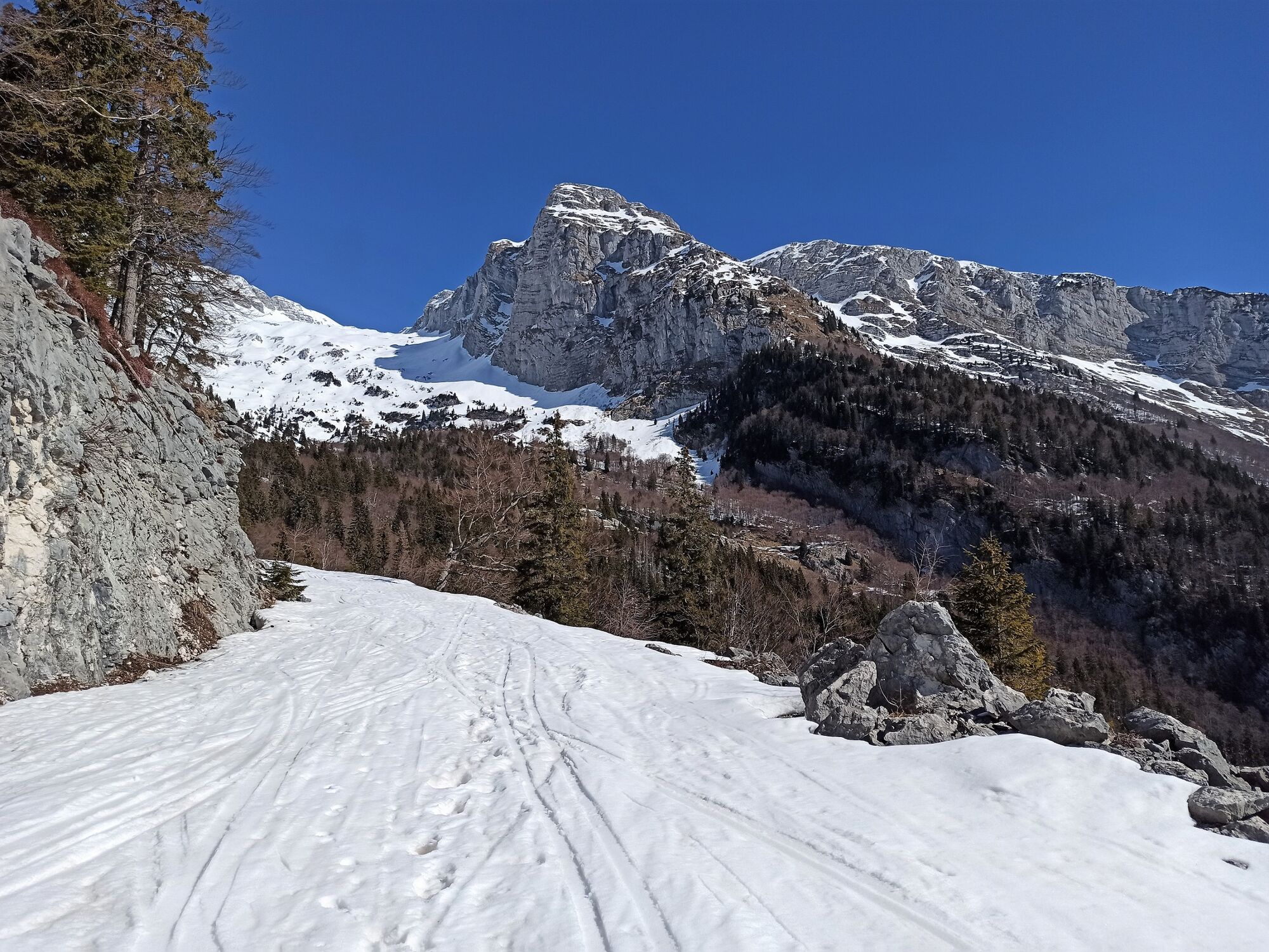
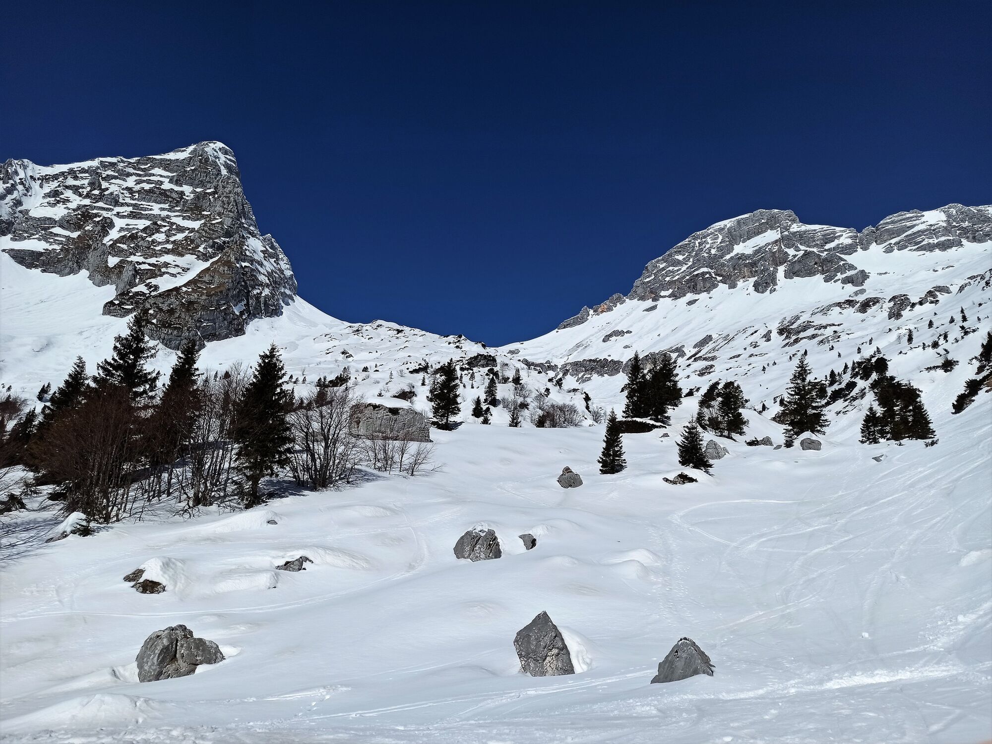
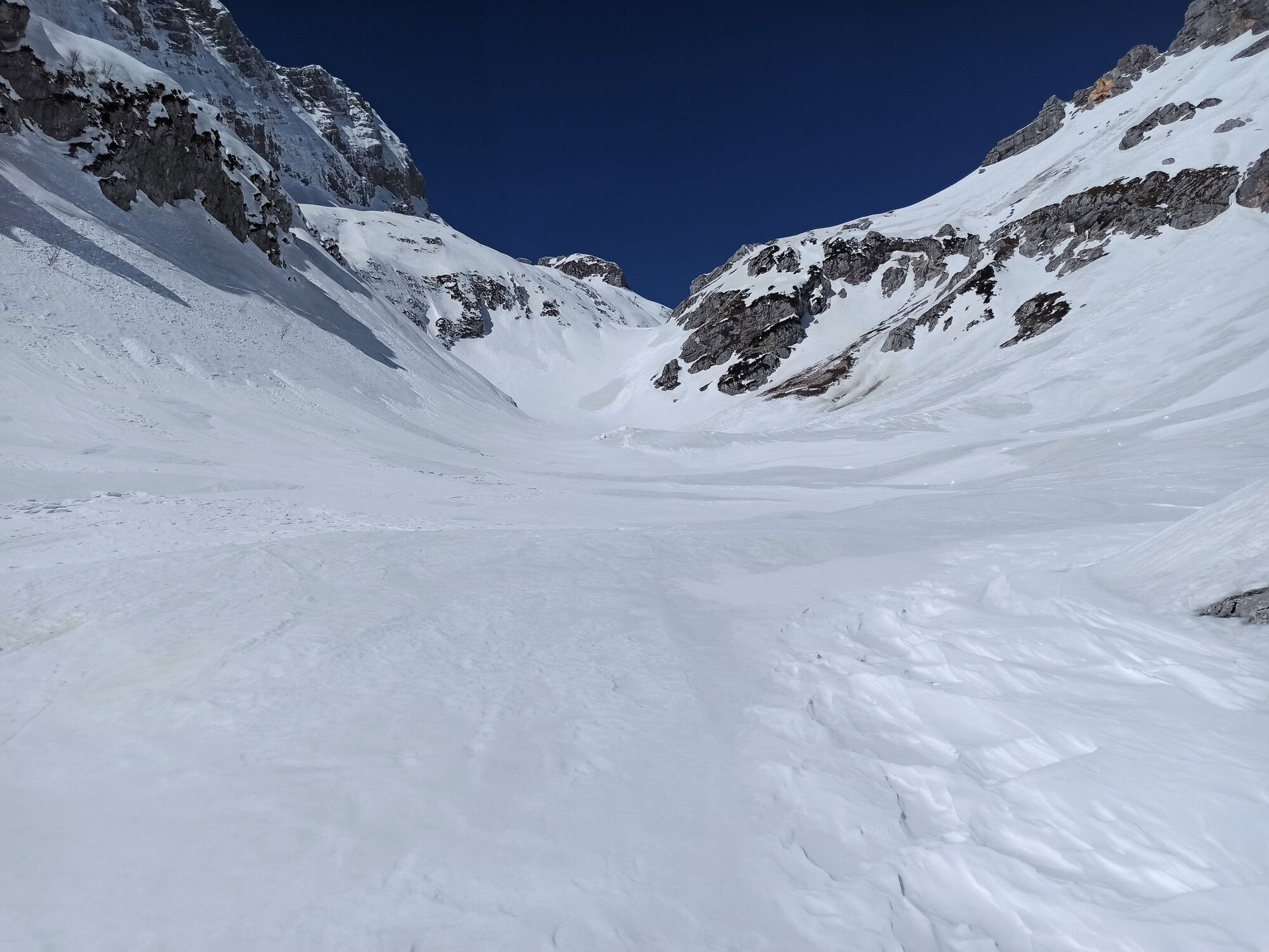
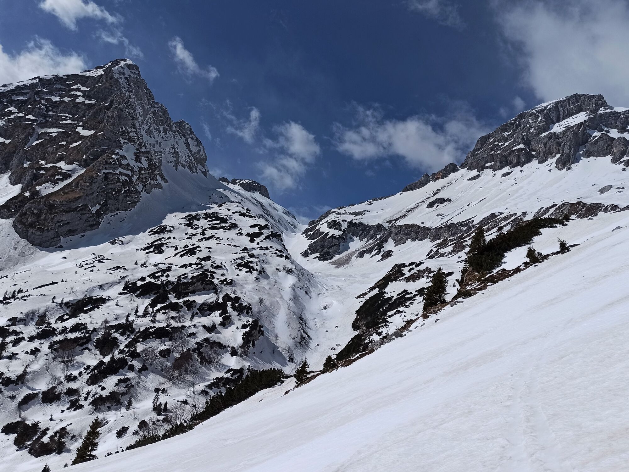
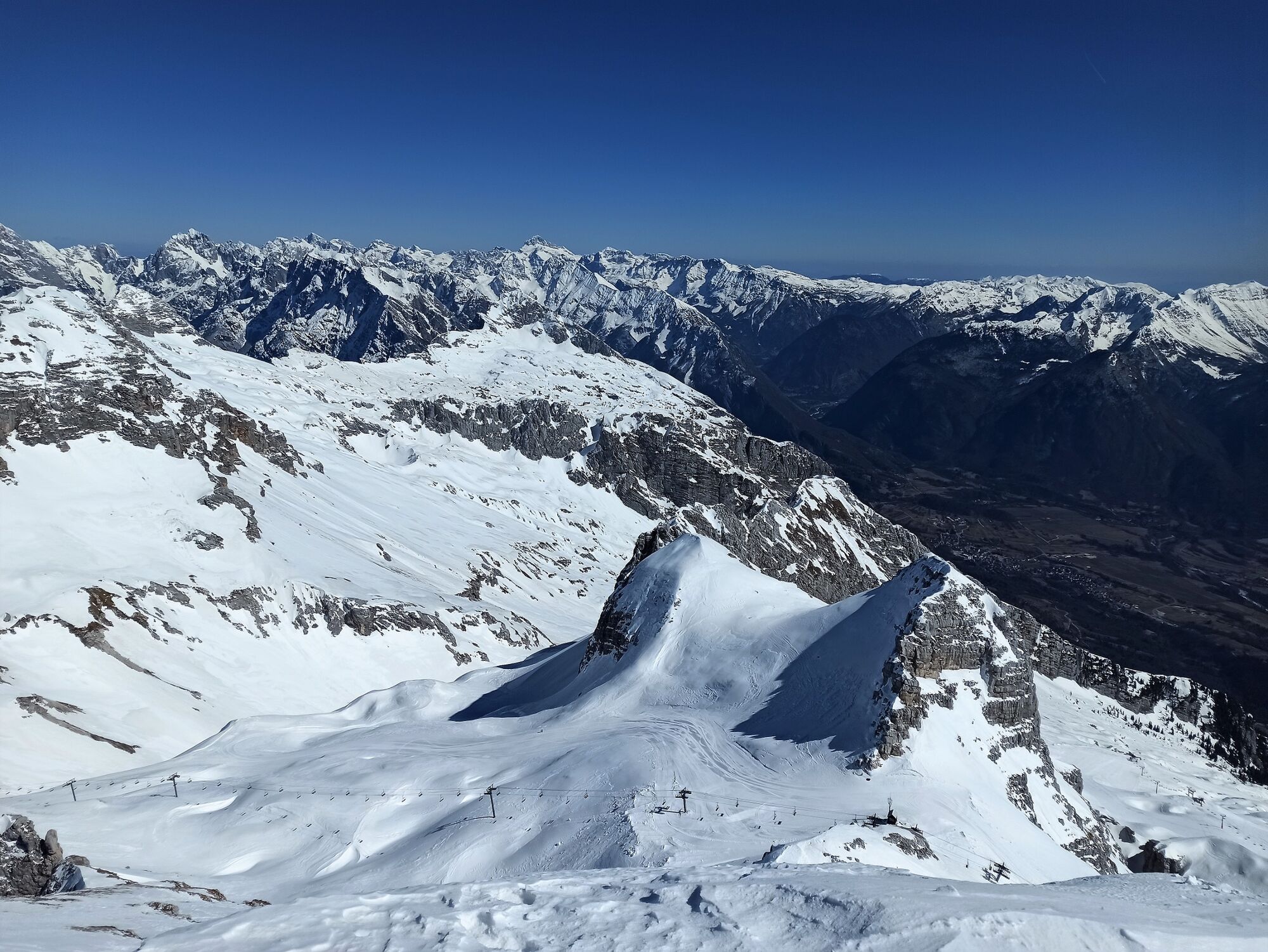
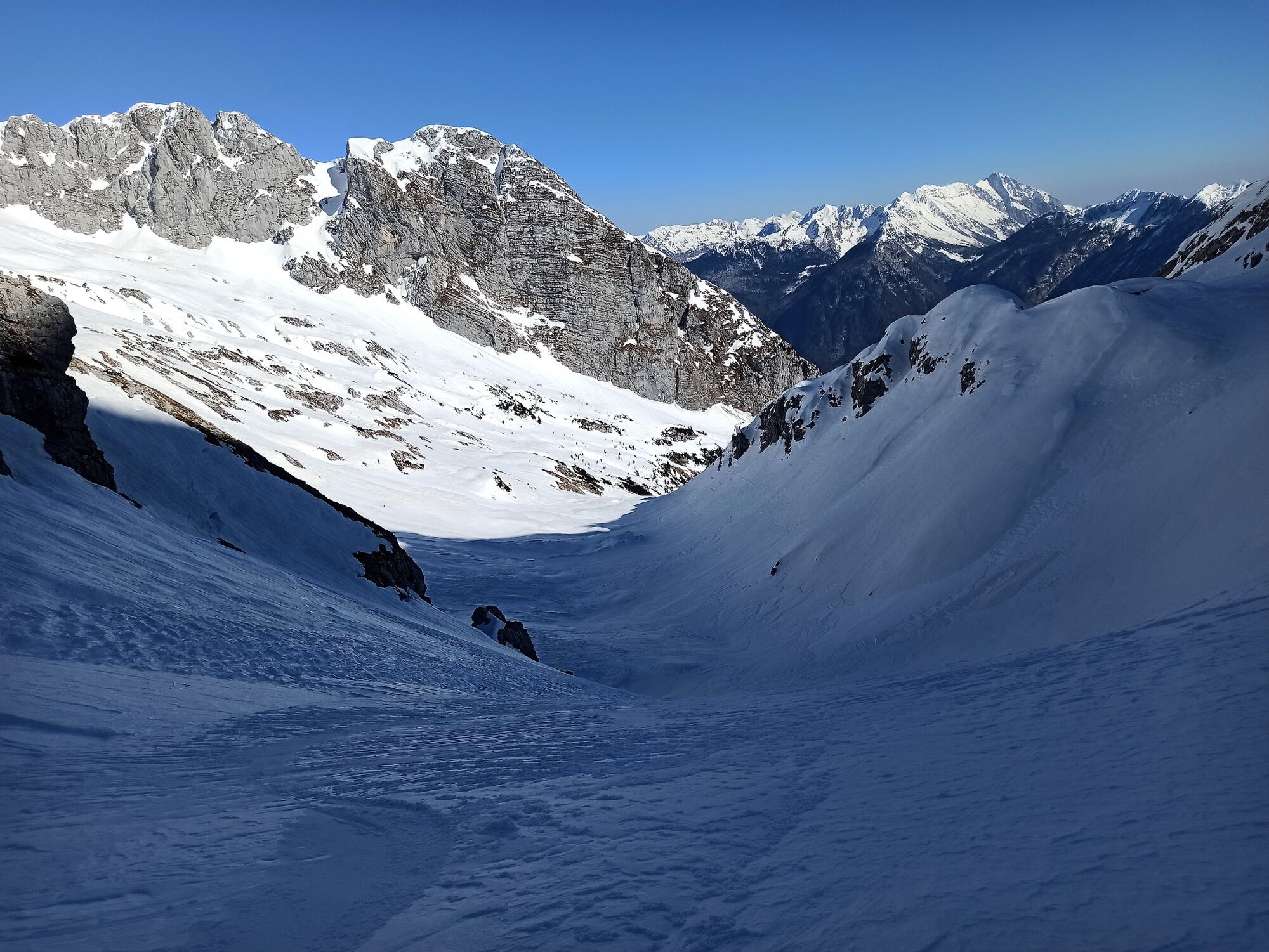
Mountain pass beneath Mt. Prestreljenik (2,284 m)

Ski de randonnée

© Turizem Dolina Soce - Andreja Križnič

© Turizem Dolina Soce - Andreja Križnič

© Turizem Dolina Soce - Andreja Križnič

© Turizem Dolina Soce - Andreja Križnič

© Turizem Dolina Soce - Andreja Križnič

© Turizem Dolina Soce - Andreja Križnič

© Turizem Dolina Soce - Andreja Križnič

© Turizem Dolina Soce - Andreja Križnič

- Brève description
-
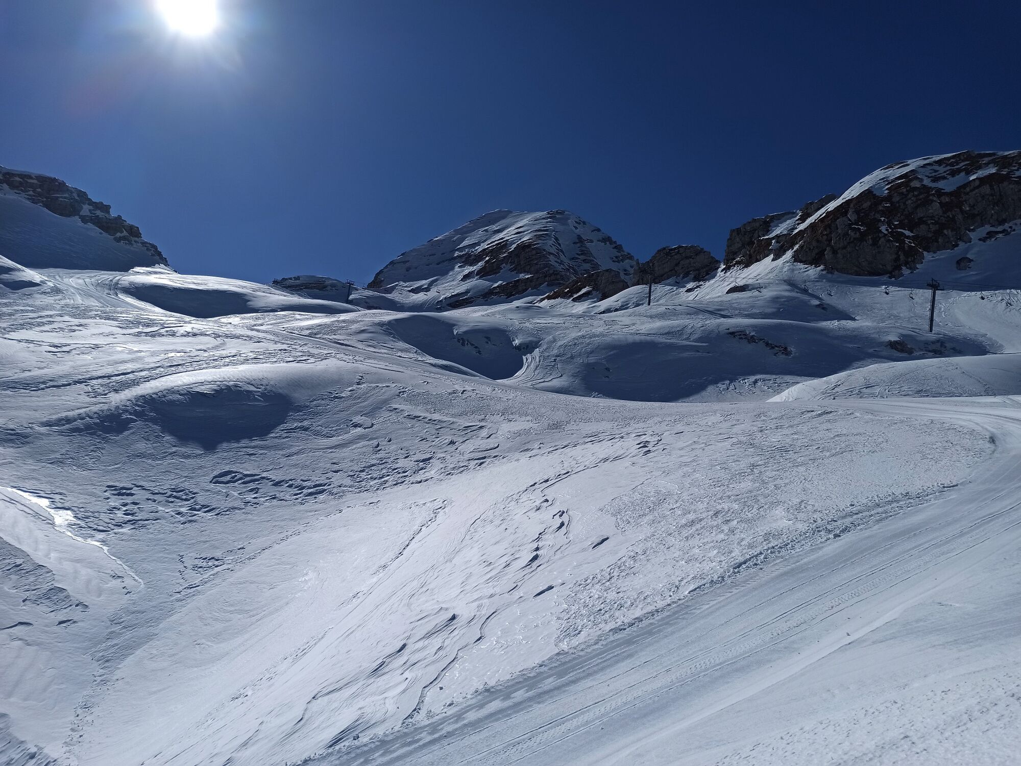
A beautiful tour in a wonderful environment where you have to overcome great altitude difference without major ascents. Skiing down the Krnica Valley and higher in usually still possible in late spring because the Kanin Mountain chain in exposed to heavy precipitation.
- Difficulté
-
difficile
- Évaluation
-
- Meilleure saison
-
aoûtsept.oct.nov.déc.janv.févr.marsavrilmaijuinjuil.
- Hauteur maximale
- 2.272 m
- Point de mire
-
Mountain pass beneath Mt. Prestreljenik (2,284 m)
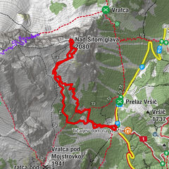
- Profil en hauteur
-
 © outdooractive.com

- Auteur
-
La randonnée Mountain pass beneath Mt. Prestreljenik (2,284 m) est utilisé par outdooractive.com fourni par.
GPS Downloads


Informations générales
Secret
Prometteur
Autres parcours dans les régions