
- Brève description
-
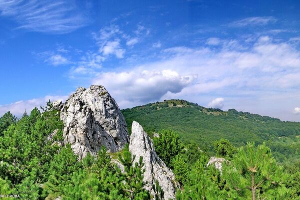
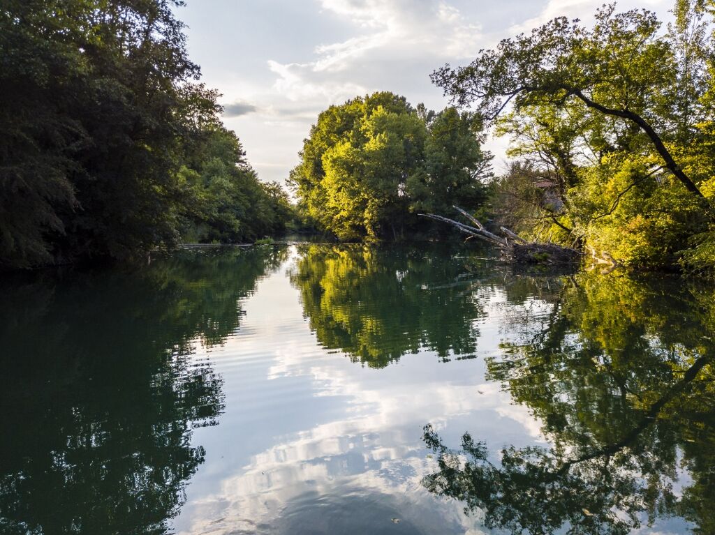
This is one of the most popular cycling trails among local recreational cyclists. The mostly flat trail through vineyards and orchards, and through the car-free Branica Valley, does offer some small climbs. Just enough to get your heart pumping.
- Difficulté
-
facile
- Évaluation
-
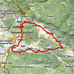
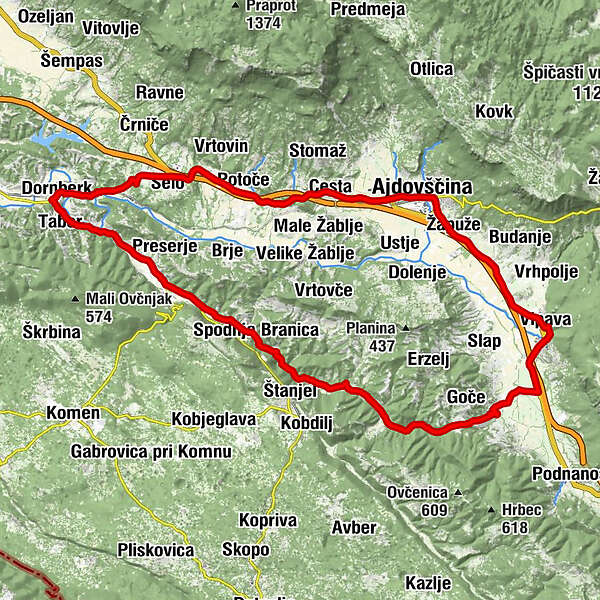
- Parcours
-
Wippach0,1 kmLog2,8 kmPicerija Anja3,4 kmKoschmann4,9 kmSchrauenstein (128 m)5,1 kmSturia6,4 kmHaidenschaft6,8 kmPizzerija in špageterija Zmaj7,6 kmStrassdorf10,2 kmGutenfeld11,8 kmSivi Čaven13,3 kmBaumgarten13,6 kmCerkev sv. Mihaela16,6 kmKunzendorf (153 m)16,7 kmWeinstein17,7 kmSalosche20,6 kmKlemšeti20,6 kmDornberg (61 m)21,3 kmBachloch22,1 kmTaborberg22,4 kmSachset23,3 kmRauchenstein24,3 kmBisiachi25,4 kmBirsi26,0 kmKorp26,3 kmBritovo26,8 kmReifenberg27,0 kmOšterija27,3 kmHmeljaki28,1 kmScherbizi29,0 kmUnter Bärnawitz (107 m)30,8 kmLissiachi31,1 kmČipnje31,8 kmZavivalca32,4 kmDolanci36,5 kmKodreti37,0 kmSveta Katarina37,1 kmTrevisani38,8 kmManče42,1 kmWippach46,8 km
- Meilleure saison
-
janv.févr.marsavrilmaijuinjuil.aoûtsept.oct.nov.déc.
- Hauteur maximale
- 232 m
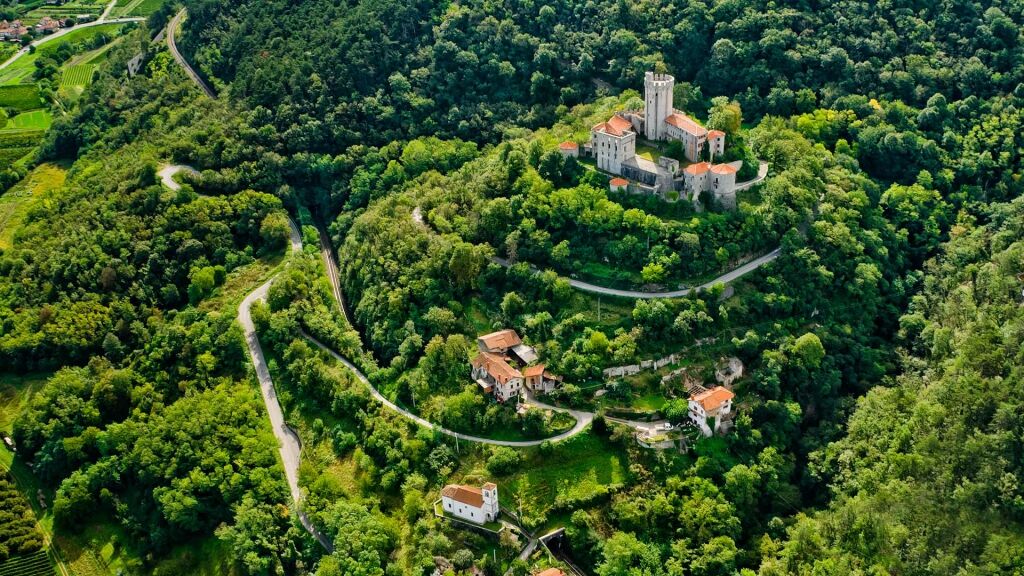
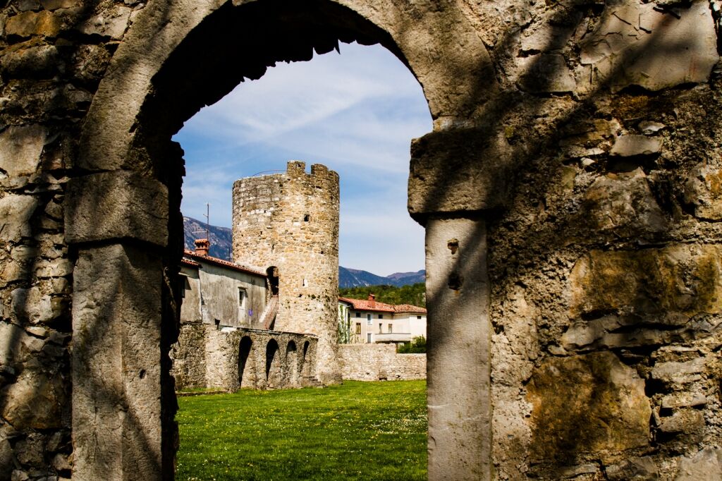
- Point de mire
-
In the heart of the town of Vipava
- Profil en hauteur
-
 © outdooractive.com
- Auteur
-
La randonnée The Branica Valley est utilisé par outdooractive.com fourni par.
GPS Downloads


Informations générales
Point de rassemblement
Culturel/Historiquement
Prometteur
Autres parcours dans les régions
-
Vipava Tal
5
-
Štanjel
3