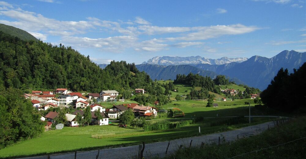
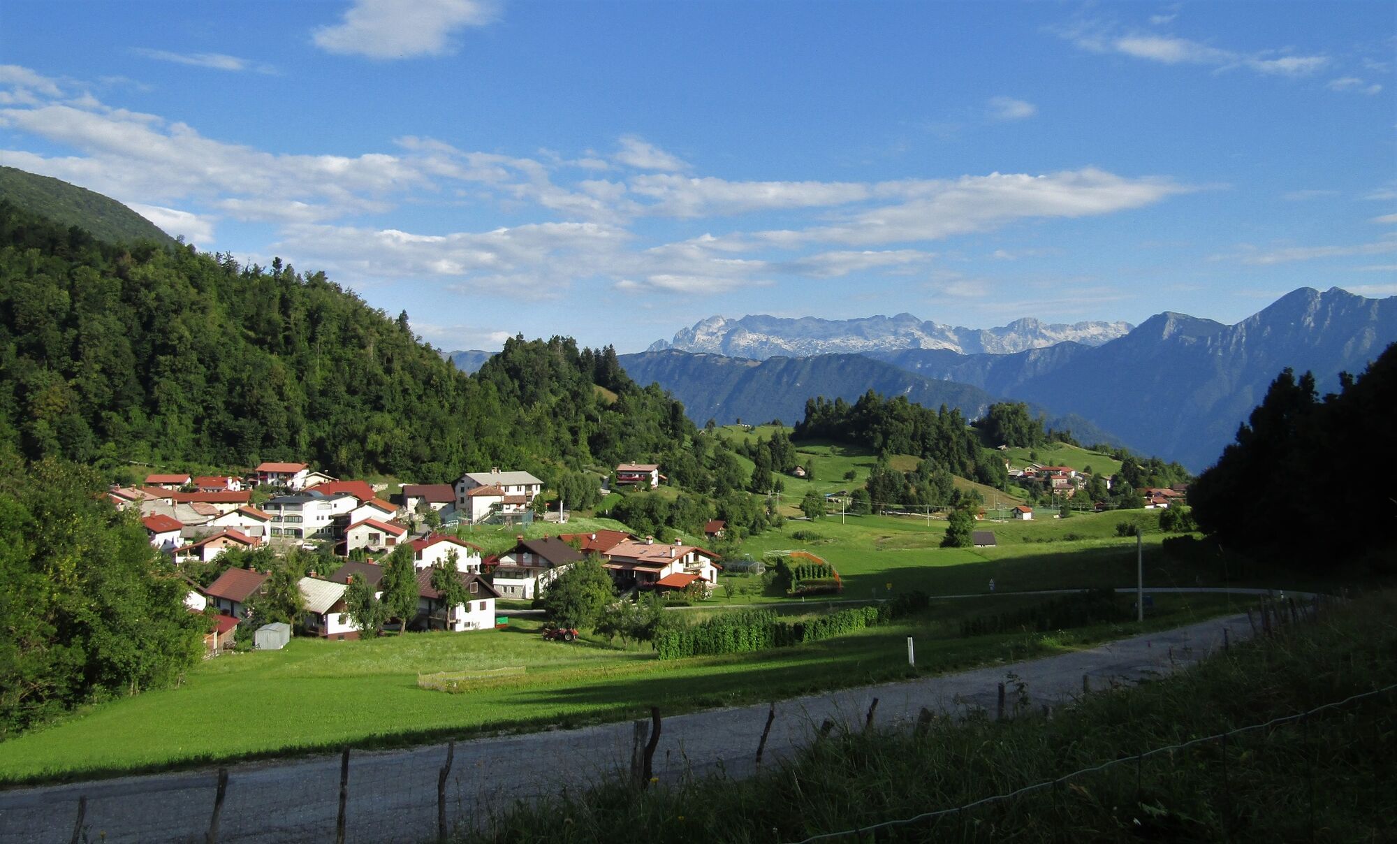
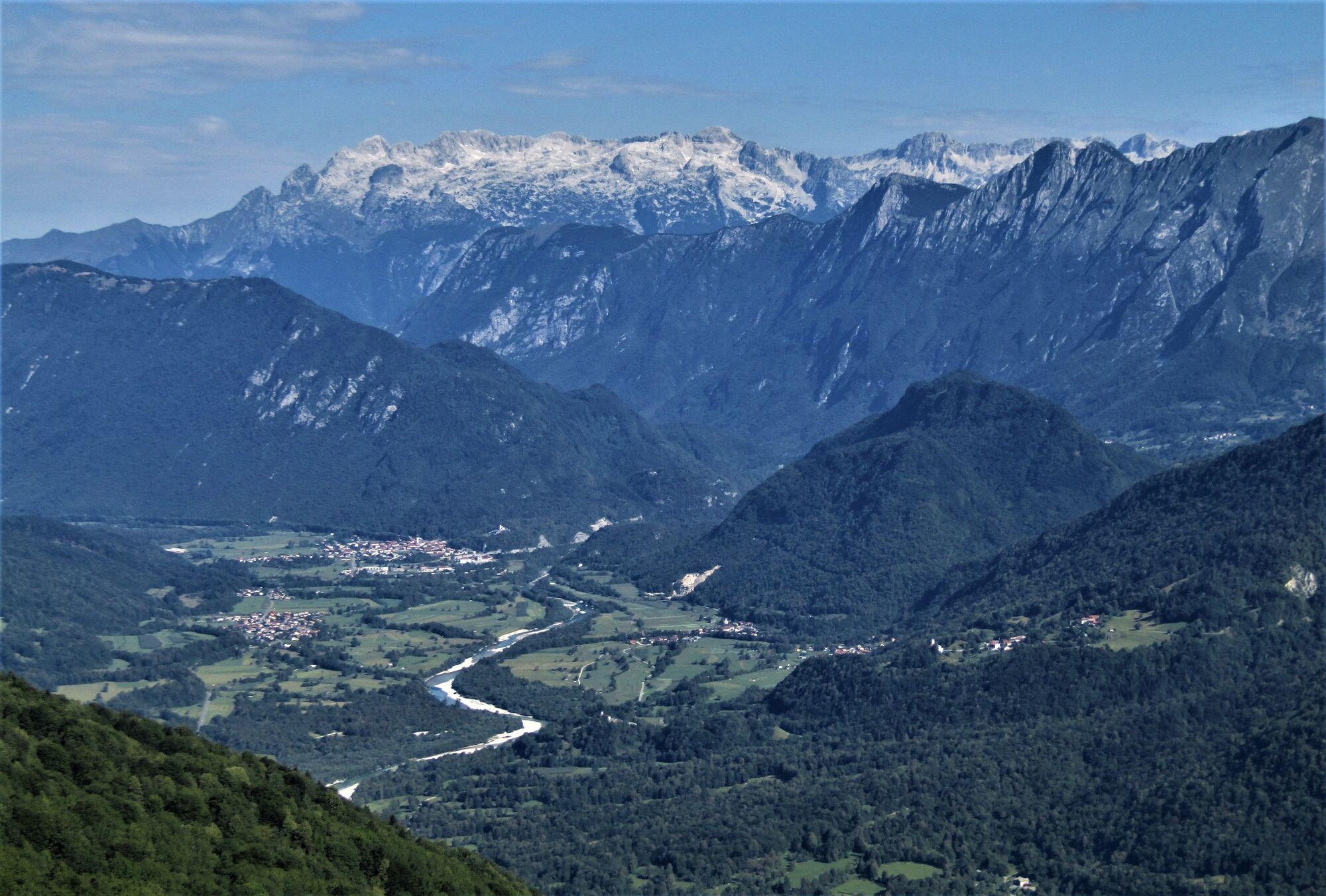
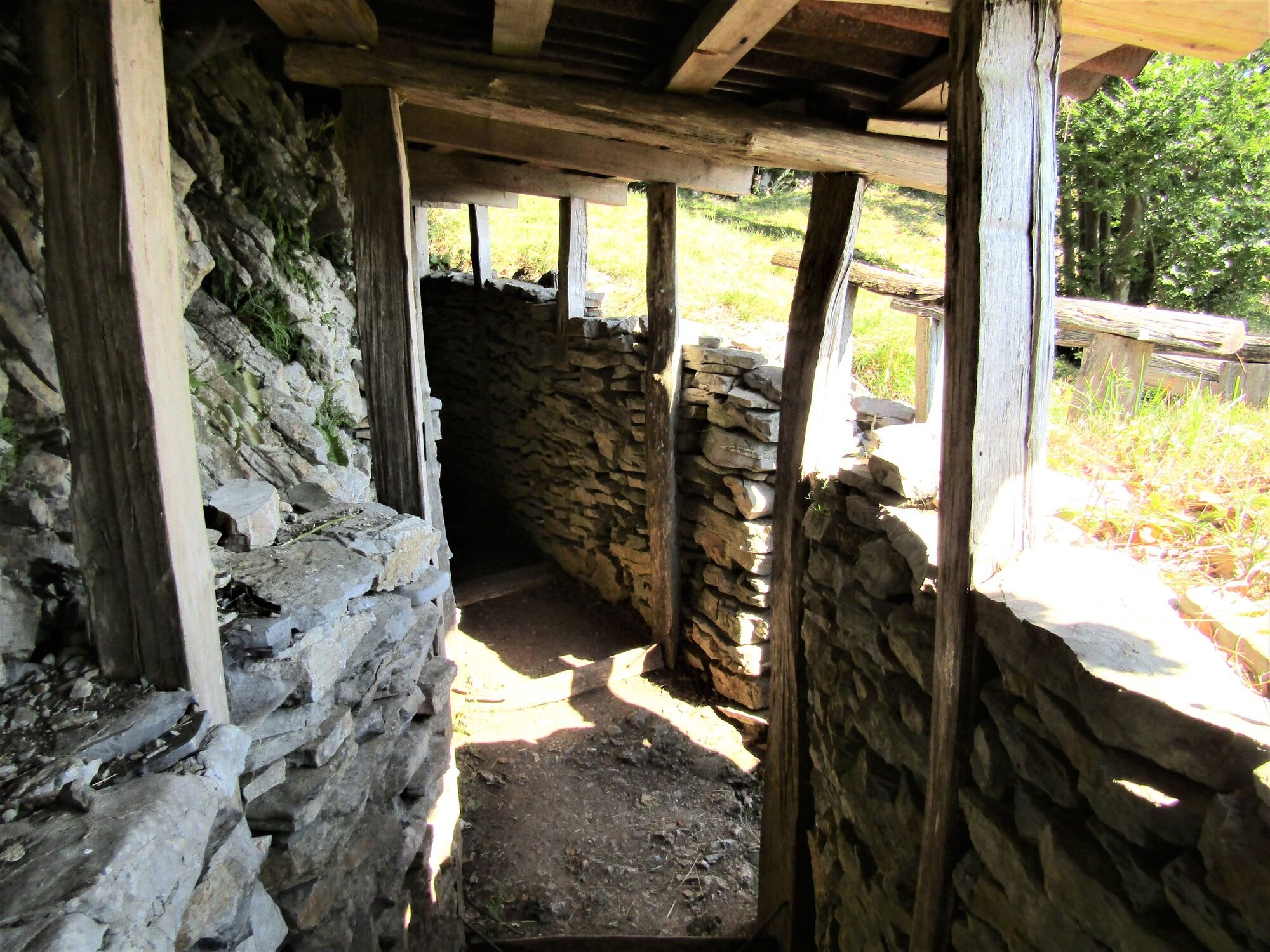
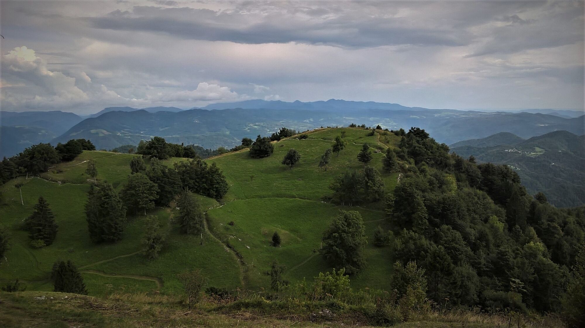
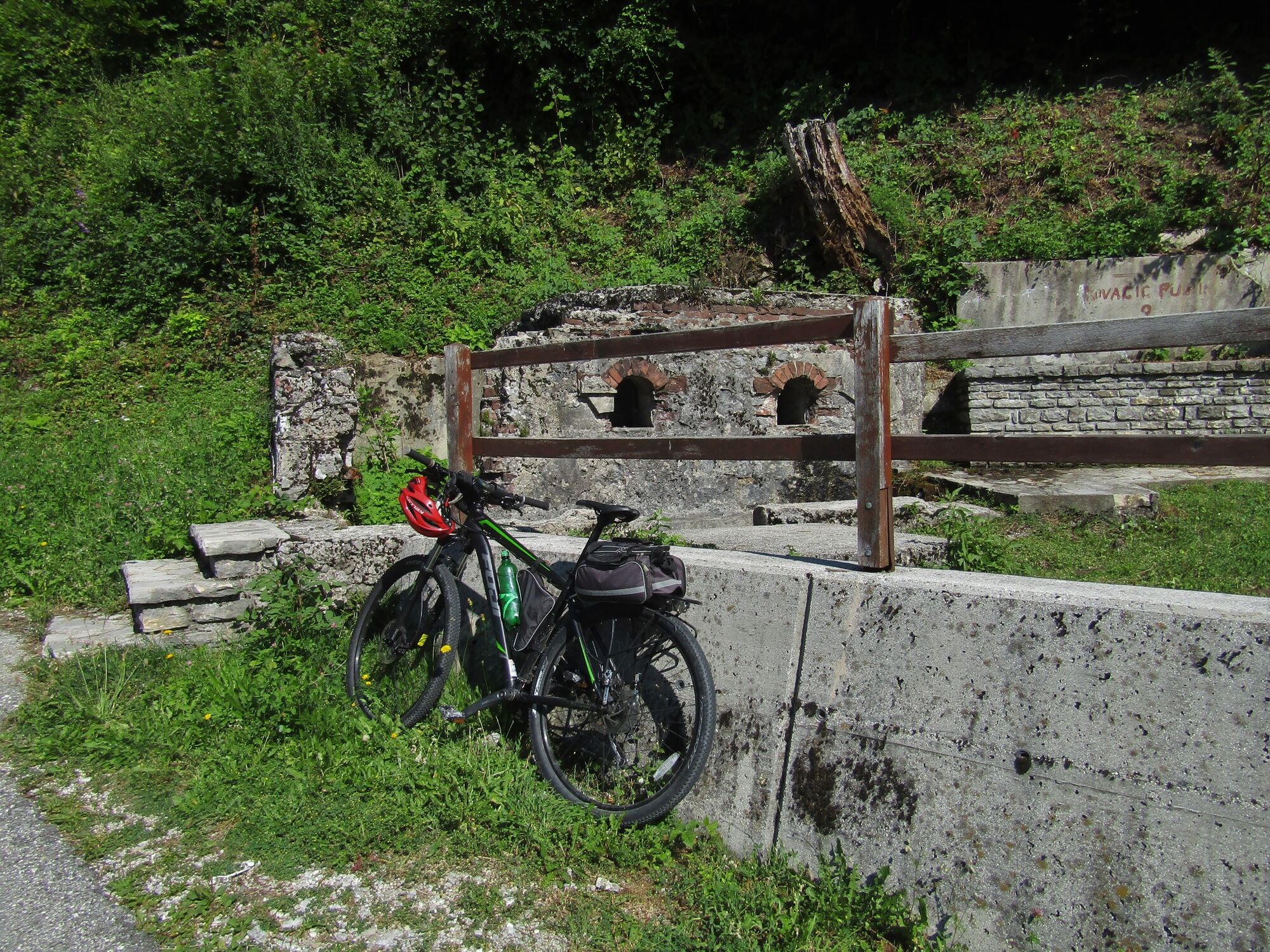
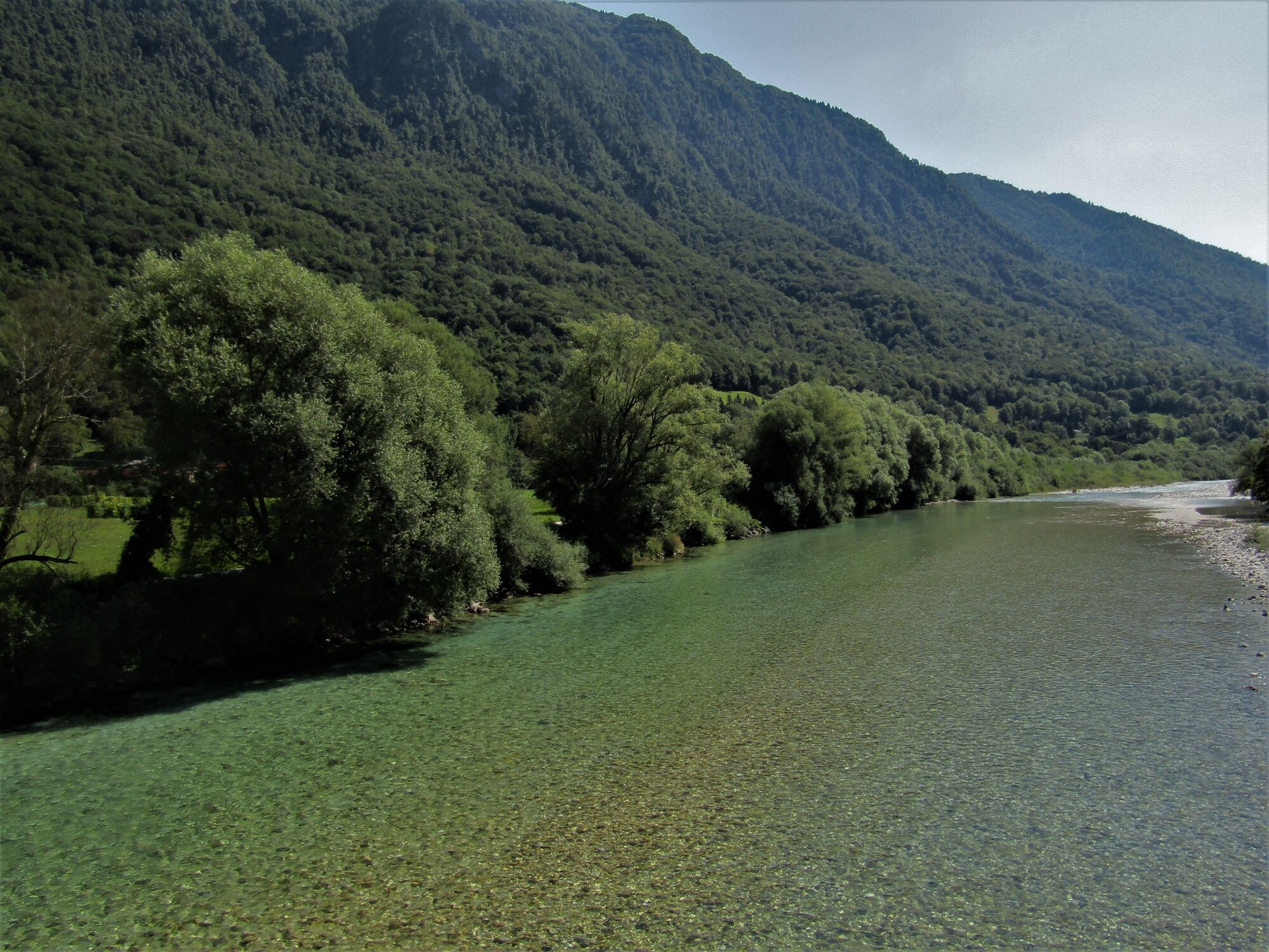
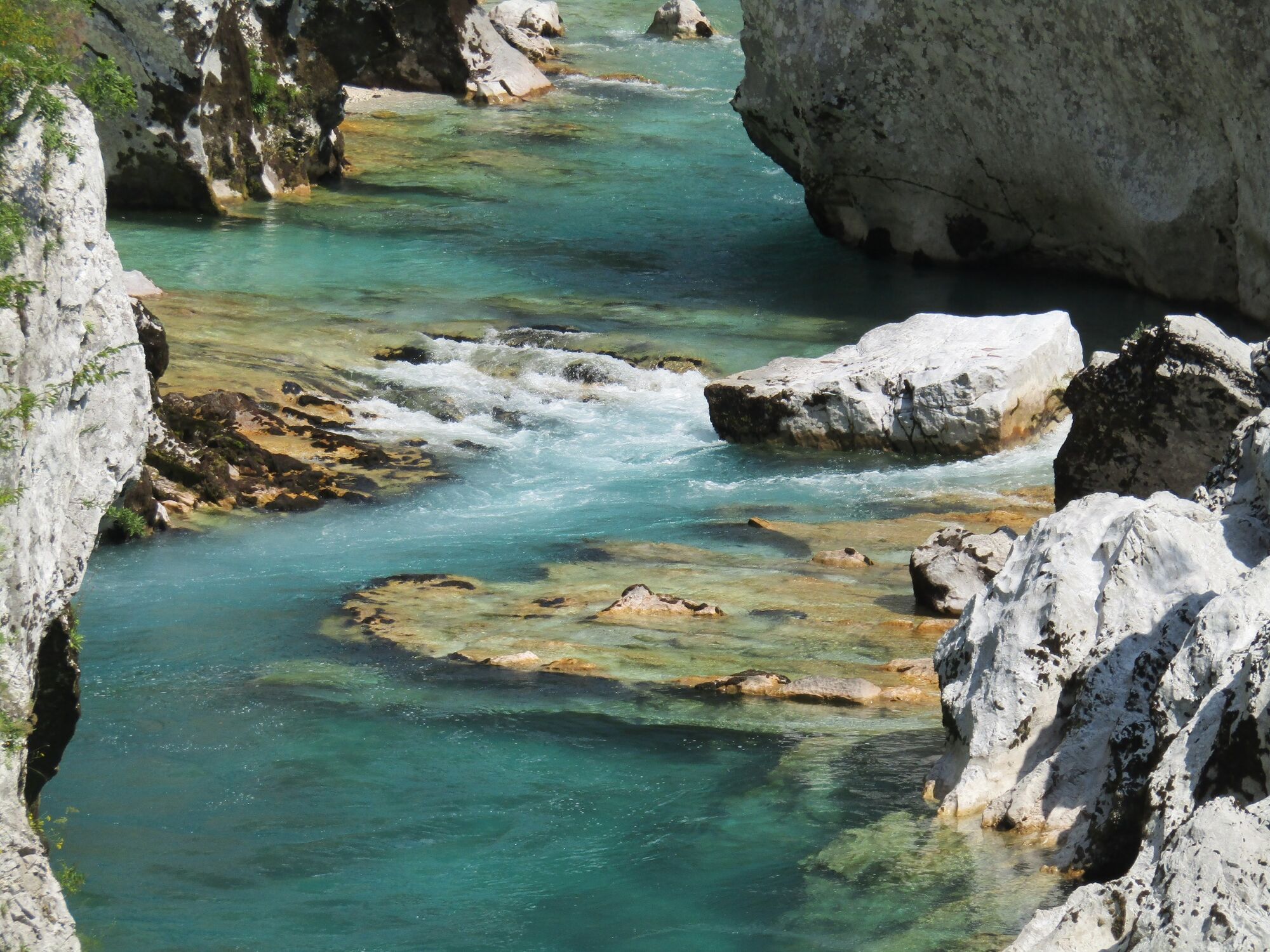
Mt. Kolovrat, along the panoramic road with views of the Soča Valley

Faire du vélo
© Turizem Dolina Soce - Ksenija Vogrinc

© Turizem Dolina Soce - Ksenija Vogrinc

© Turizem Dolina Soce - Ksenija Vogrinc

© Turizem Dolina Soce - Ksenija Vogrinc

© Turizem Dolina Soce - Ksenija Vogrinc

© Turizem Dolina Soce - Ksenija Vogrinc

© Turizem Dolina Soce - Ksenija Vogrinc

© Turizem Dolina Soce - Ksenija Vogrinc

© Turizem Dolina Soce - Ksenija Vogrinc

© Turizem Dolina Soce - Ksenija Vogrinc


- Brève description
-
The road leading along the ridge of Mt. Kolovrat is quite panoramic and offers splendid views of the Soča Valley and the Julian Alps. Its added value is the outdoor museum which is well worth visiting.
- Difficulté
-
difficile
- Évaluation
-
- Parcours
-
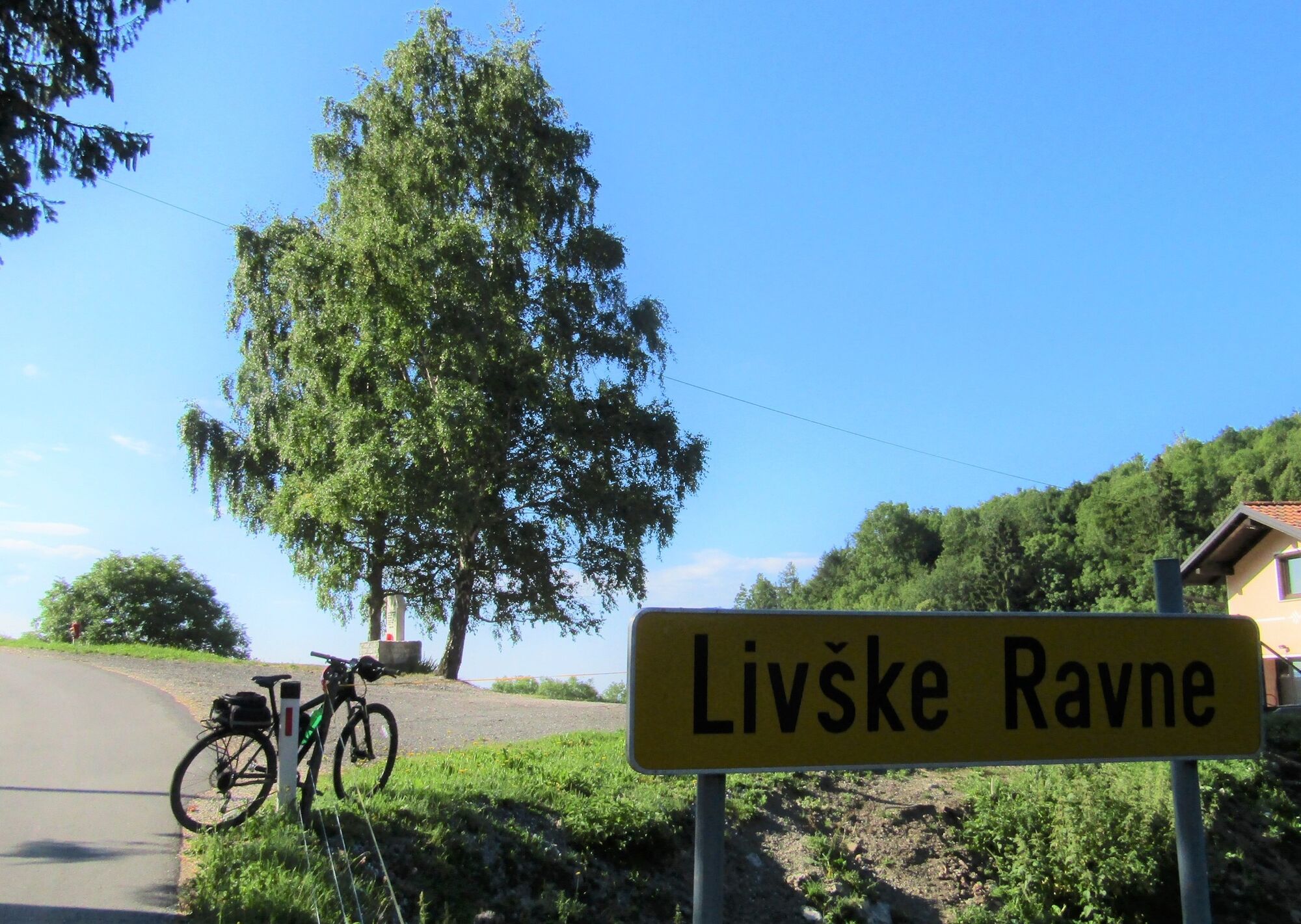
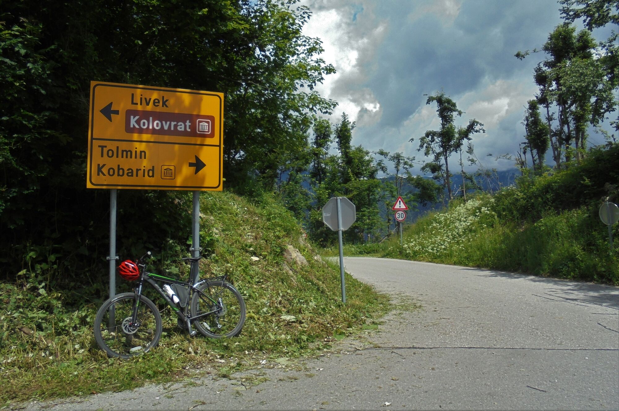
Kaisersmühlen0,6 kmGostisce Jazbec0,9 kmSveti Tomaž1,1 kmHidersch1,1 kmLibegg6,4 kmRaune (1.068 m)10,2 kmMonte Nachnoi (1.193 m)11,8 kmMonte Piatto cima est (1.138 m)14,0 kmSolarji (952 m)15,4 kmSenica (576 m)19,6 kmVolzana24,3 kmVollaria29,3 kmSelišče31,3 kmKamno-Marakške32,8 kmCamina32,9 kmSchmast36,5 kmLog36,9 kmLadrach37,1 kmKarfreit40,0 km
- Meilleure saison
-
janv.févr.marsavrilmaijuinjuil.aoûtsept.oct.nov.déc.
- Hauteur maximale
- 1.157 m
- Point de mire
-
Kolovrat
- Profil en hauteur
-
 © outdooractive.com


-

-
AuteurLa randonnée Mt. Kolovrat, along the panoramic road with views of the Soča Valley est utilisé par outdooractive.com fourni par.
GPS Downloads


Informations générales
Culturel/Historiquement
Prometteur