
© Turizem Dolina Soce - Peter Dakskobler
© Turizem Dolina Soce - Peter Dakskobler


- Brève description
-
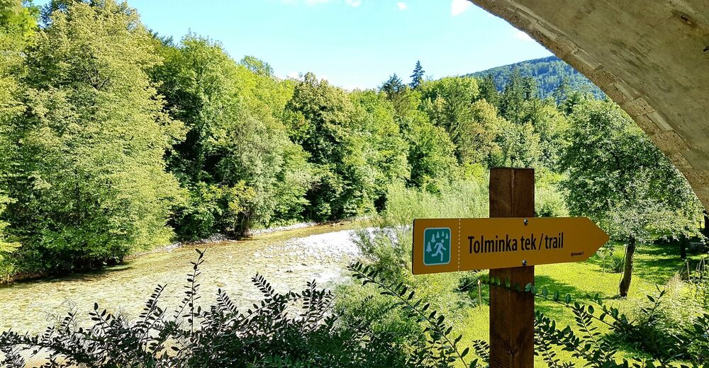
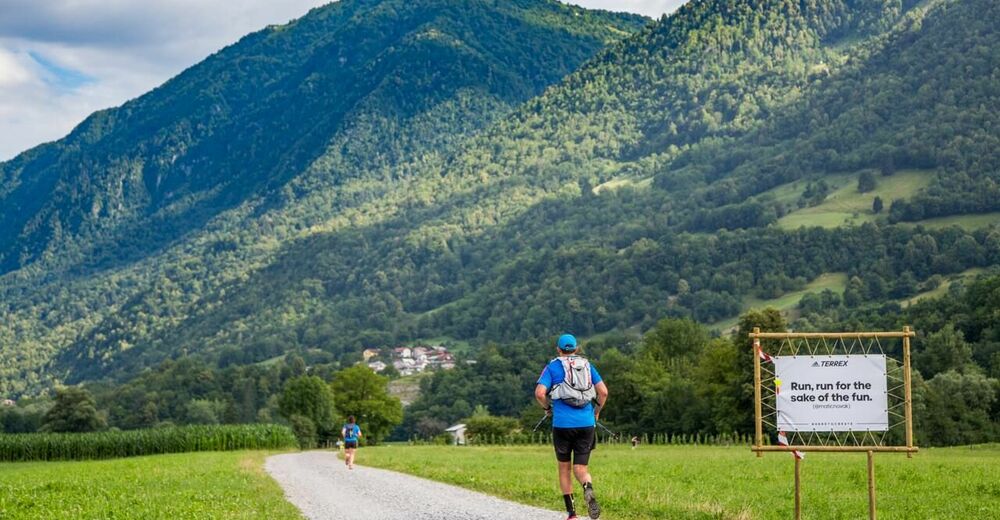
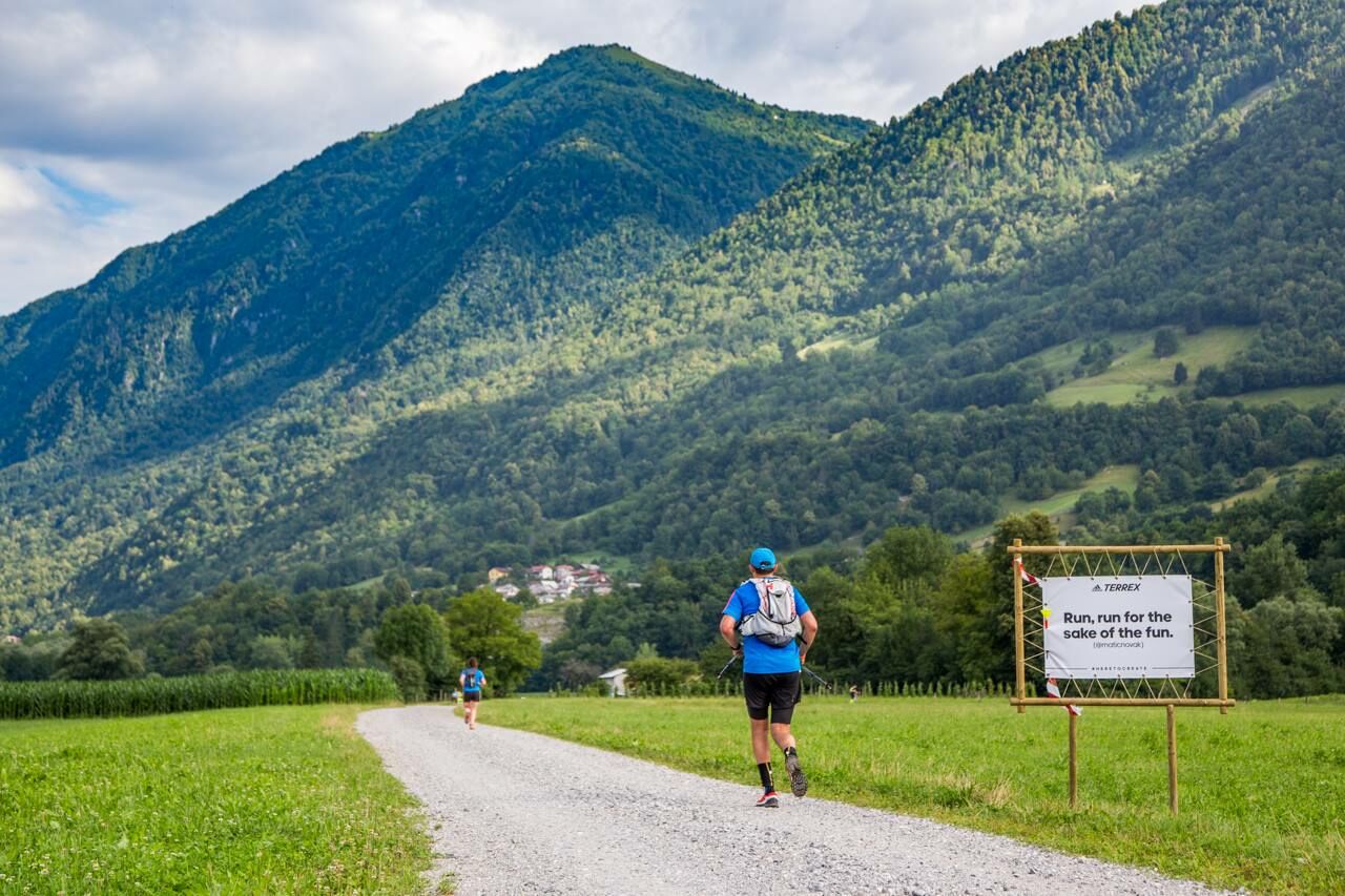
This trail run around the town of Tolmin and along the Tolminka and Soča Rivers connects the confluence of these rivers, the German ossuary and the Austrian cemetery, and is later routed beneath Mt. Kozlov rob and past the entrance point of the Tolmin Gorges.
- Difficulté
-
facile
- Évaluation
-
- Parcours
-
Sveti Urh1,5 kmLoče5,4 kmTolmein6,8 km
- Meilleure saison
-
janv.févr.marsavrilmaijuinjuil.aoûtsept.oct.nov.déc.
- Hauteur maximale
- 259 m
- Point de mire
-
Around Tolmin
- Profil en hauteur
-
 © outdooractive.com

- Auteur
-
La randonnée Tolminka trail run est utilisé par outdooractive.com fourni par.
GPS Downloads


Informations générales
Point de rassemblement
Culturel/Historiquement
Secret