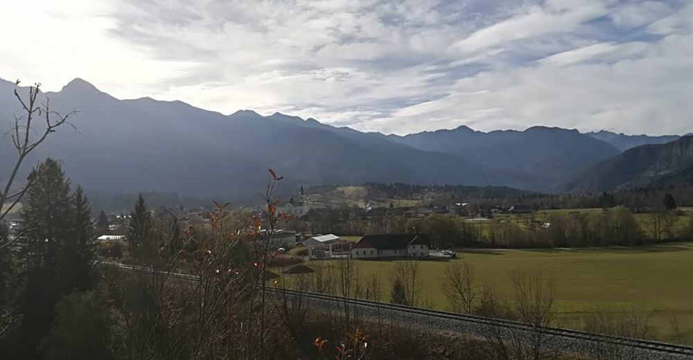
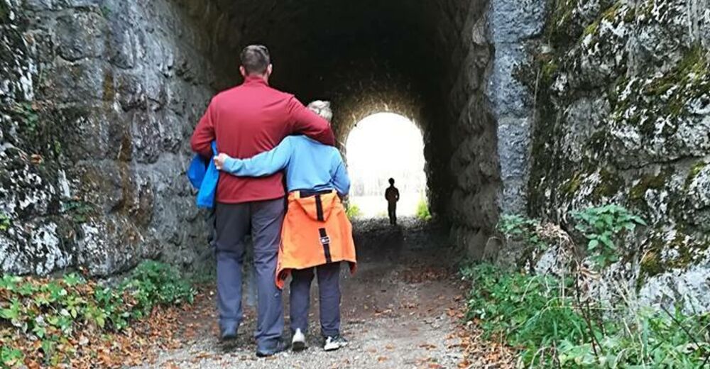
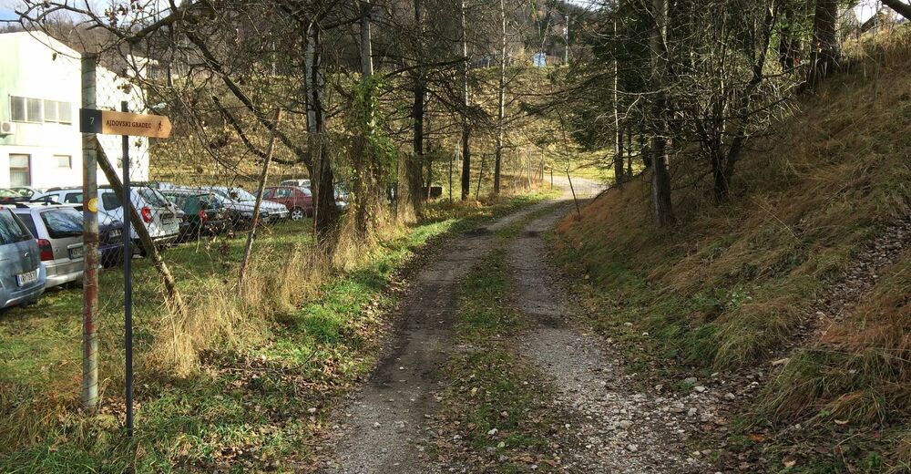
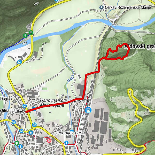
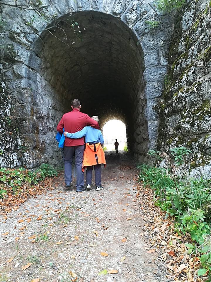
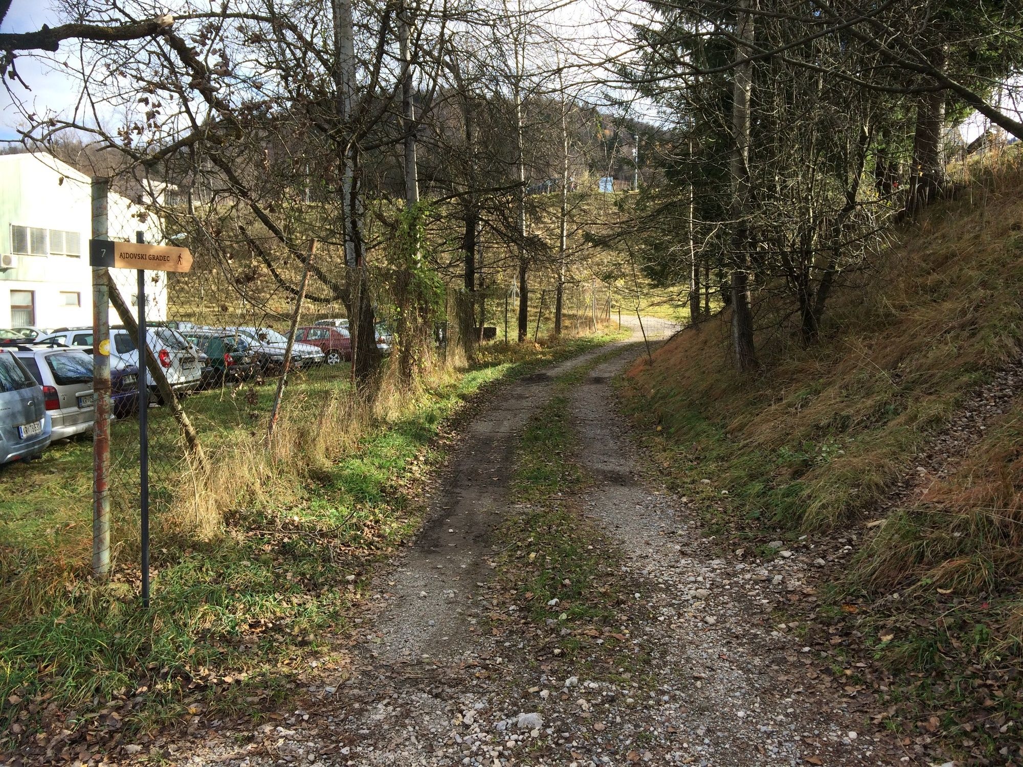
Ajdovski gradec – an archaeological site near Bohinjska Bistrica

Randonnée

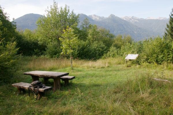
© Turizem Bohinj - Mitja Sodja
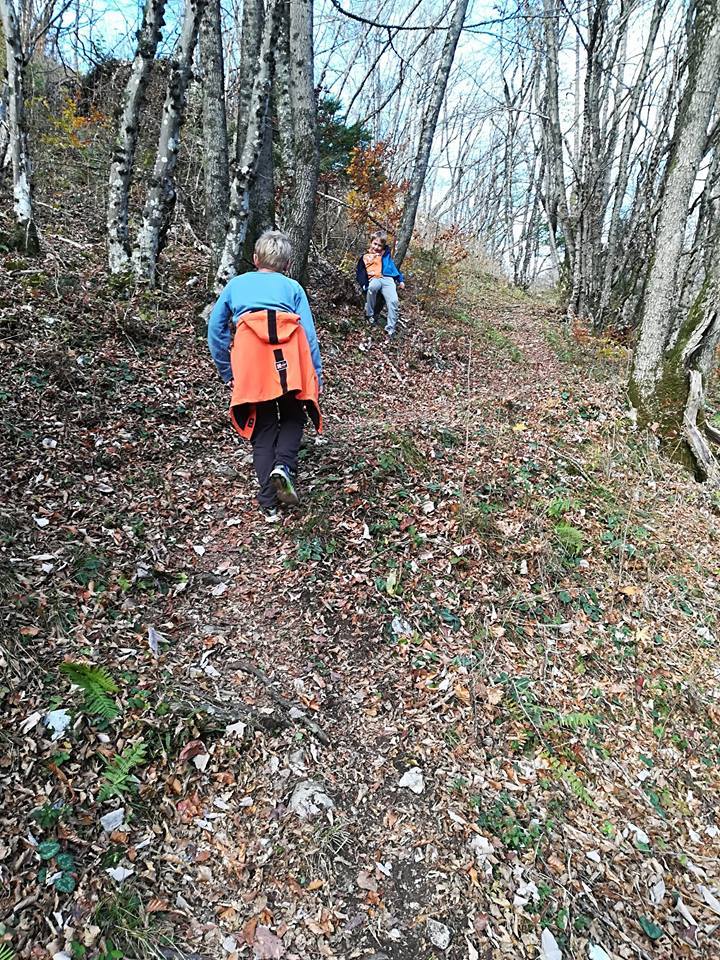
© Turizem Bohinj - Mitja Sodja
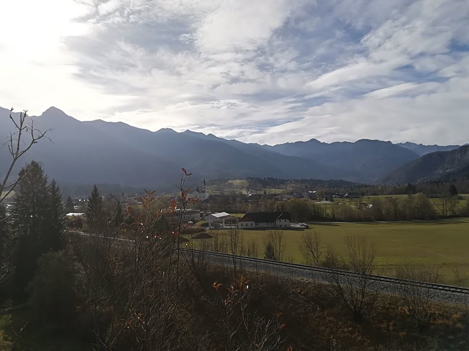
© Turizem Bohinj - Mitja Sodja
© Turizem Bohinj - Mitja Sodja

© Turizem Bohinj - Mitja Sodja
© Turizem Bohinj - Matevž Lenarčič

- Brève description
-
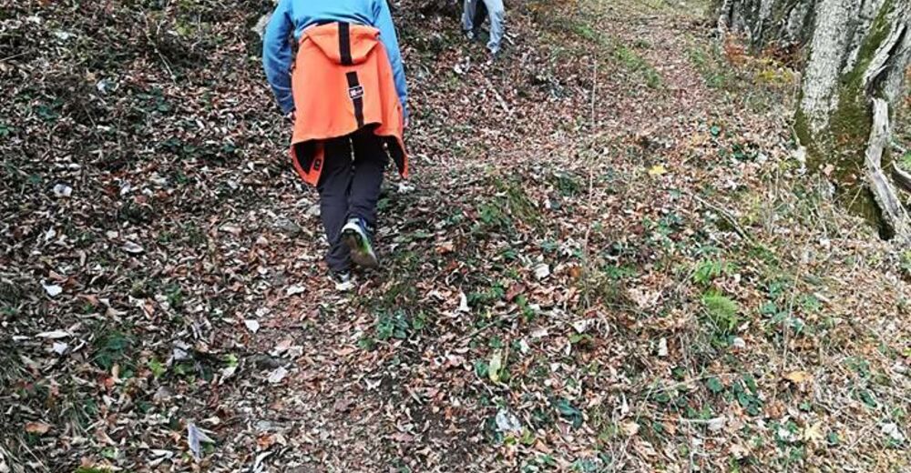
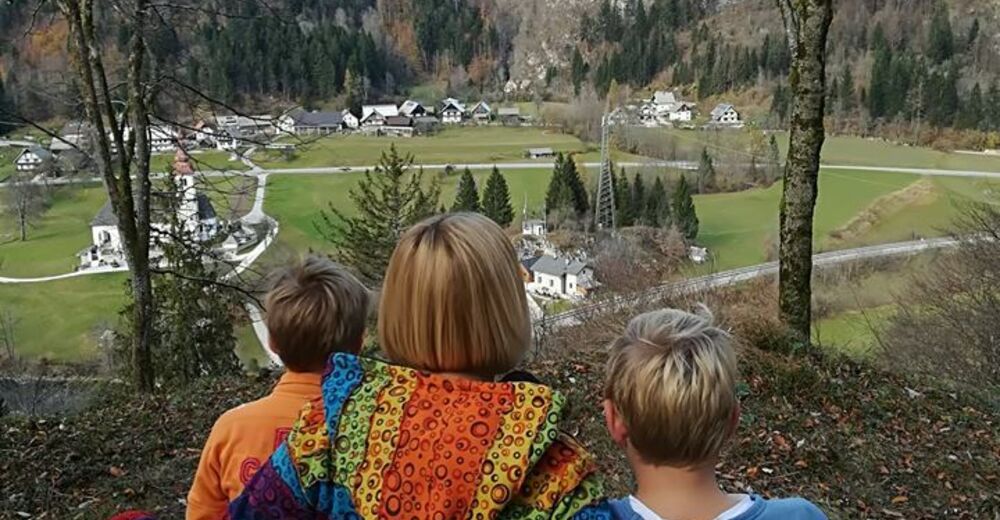
An easy walk through Bohinjska Bistrica and an easy climb to a hill with a rich history where you will learn about the past of this area.
- Difficulté
-
facile
- Évaluation
-
- Parcours
-
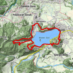
Wochein Feistritz0,1 kmAjdovski gradec1,3 km
- Meilleure saison
-
janv.févr.marsavrilmaijuinjuil.aoûtsept.oct.nov.déc.
- Hauteur maximale
- 567 m
- Point de mire
-
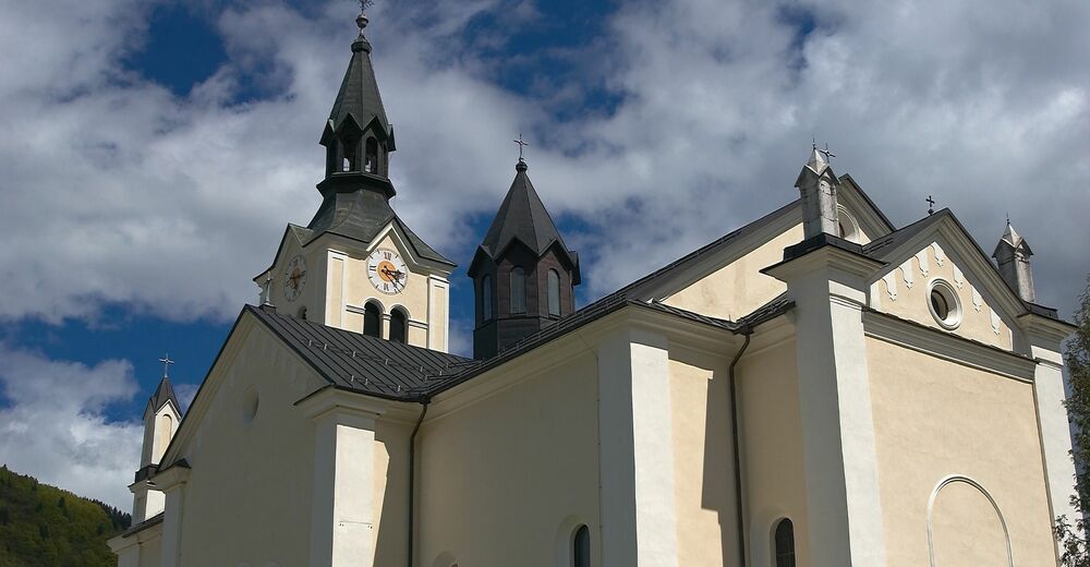
Bohinj TIC, Bohinjska Bistrica
- Profil en hauteur
-
 © outdooractive.com

- Auteur
-
La randonnée Ajdovski gradec – an archaeological site near Bohinjska Bistrica est utilisé par outdooractive.com fourni par.
GPS Downloads


Informations générales
Climat thérapeutique
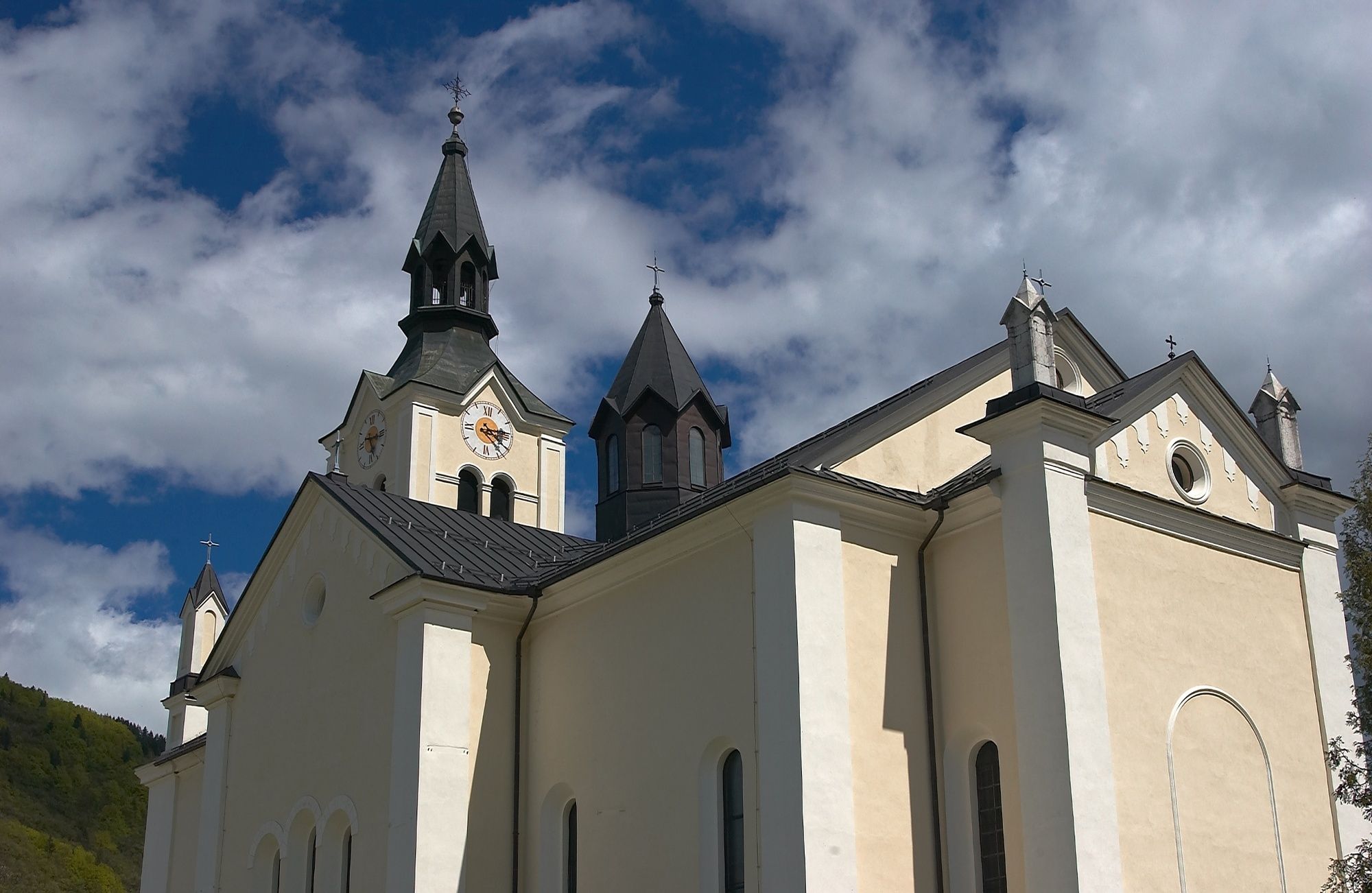
Culturel/Historiquement
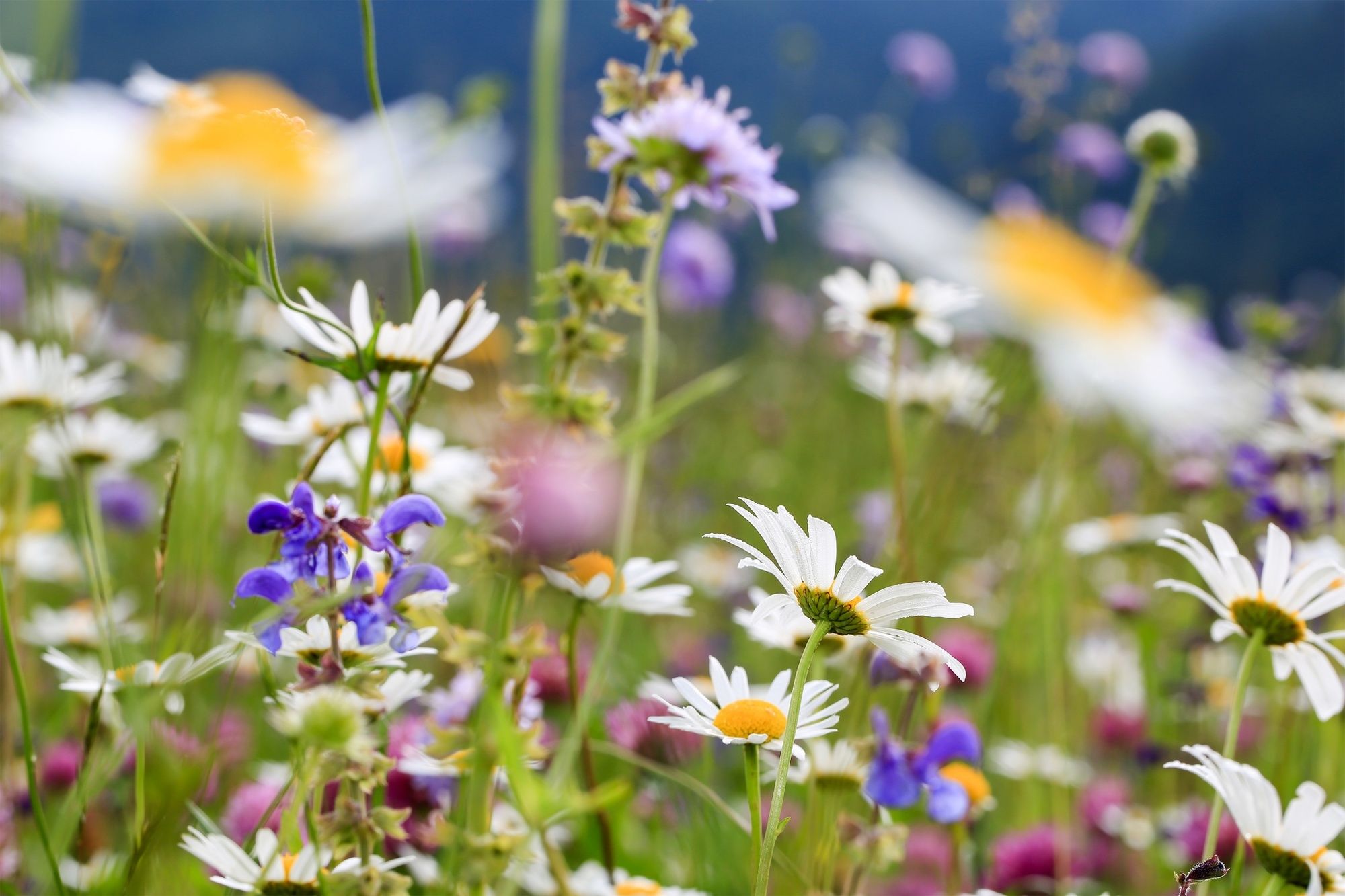
Flore
Prometteur
Autres parcours dans les régions