

© Turizem Bled - Anja Šmit

© Turizem Bled - Anja Šmit

© Turizem Bled - Anja Šmit

© Turizem Bled - Anja Šmit

© Turizem Bled - Anja Kikelj

© Turizem Bled - Anja Šmit

© Turizem Bled - Anja Šmit

- Brève description
-
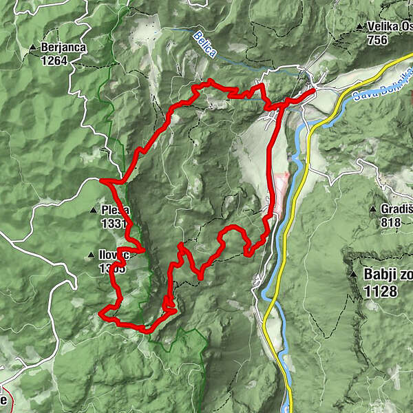
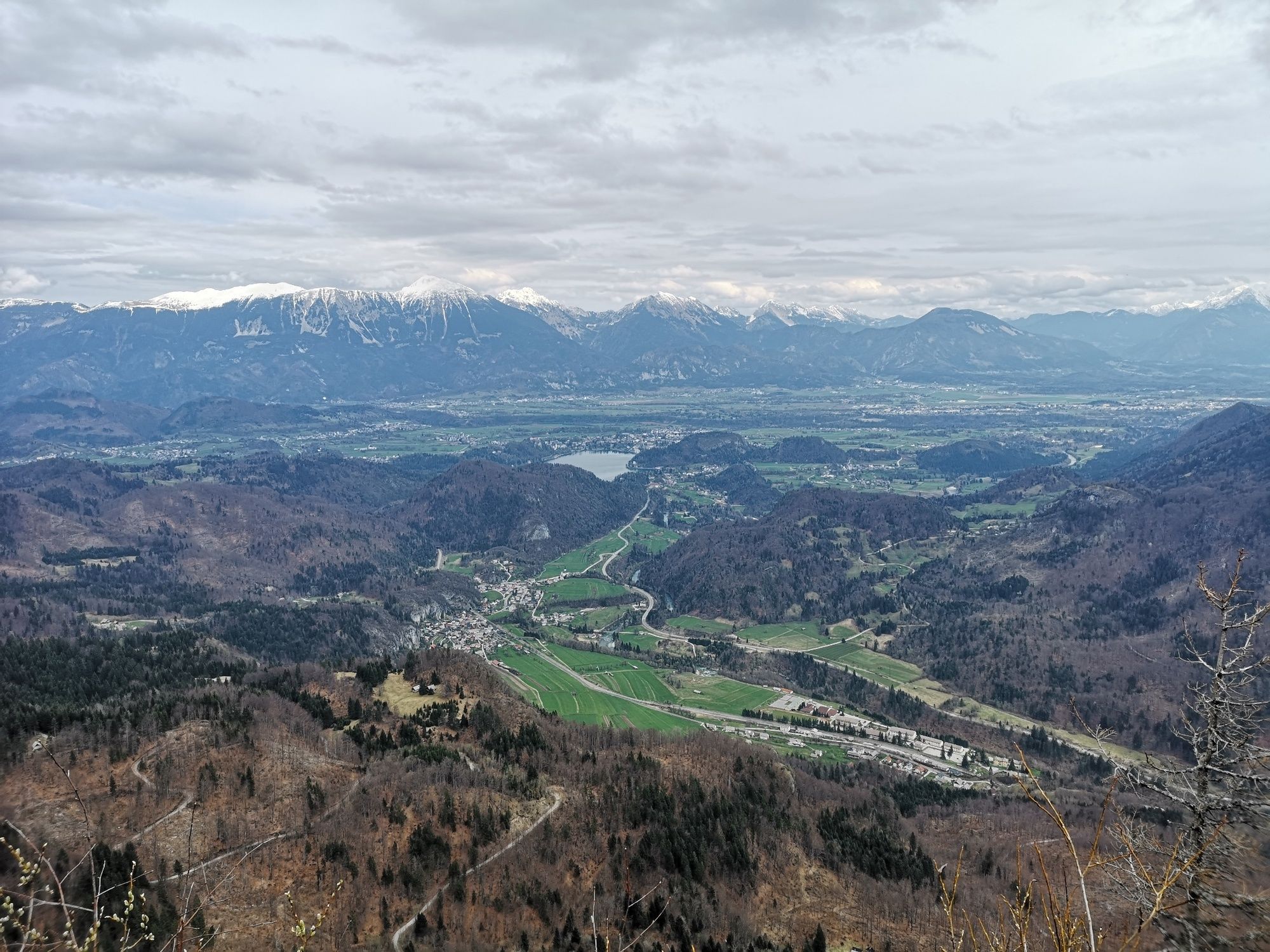
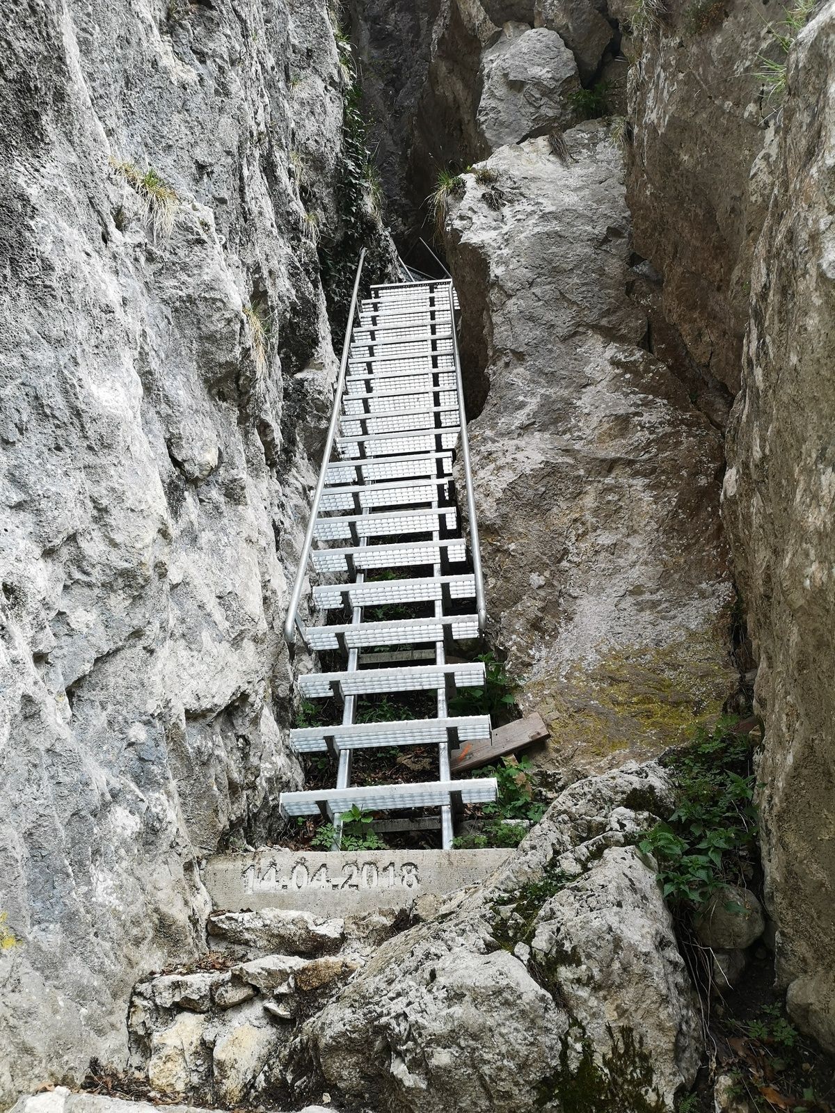
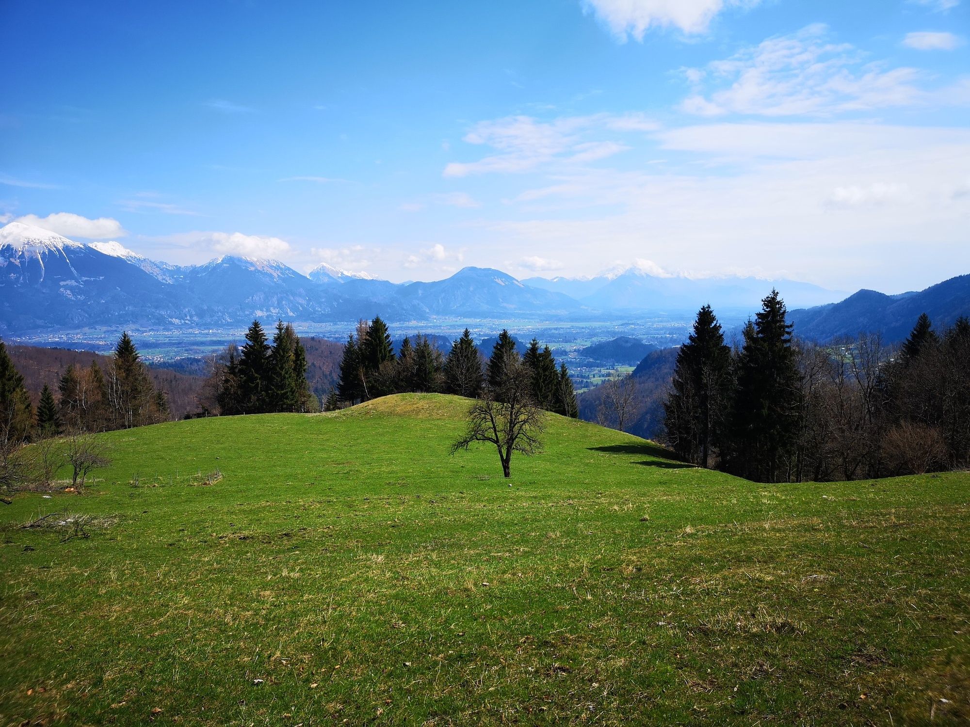
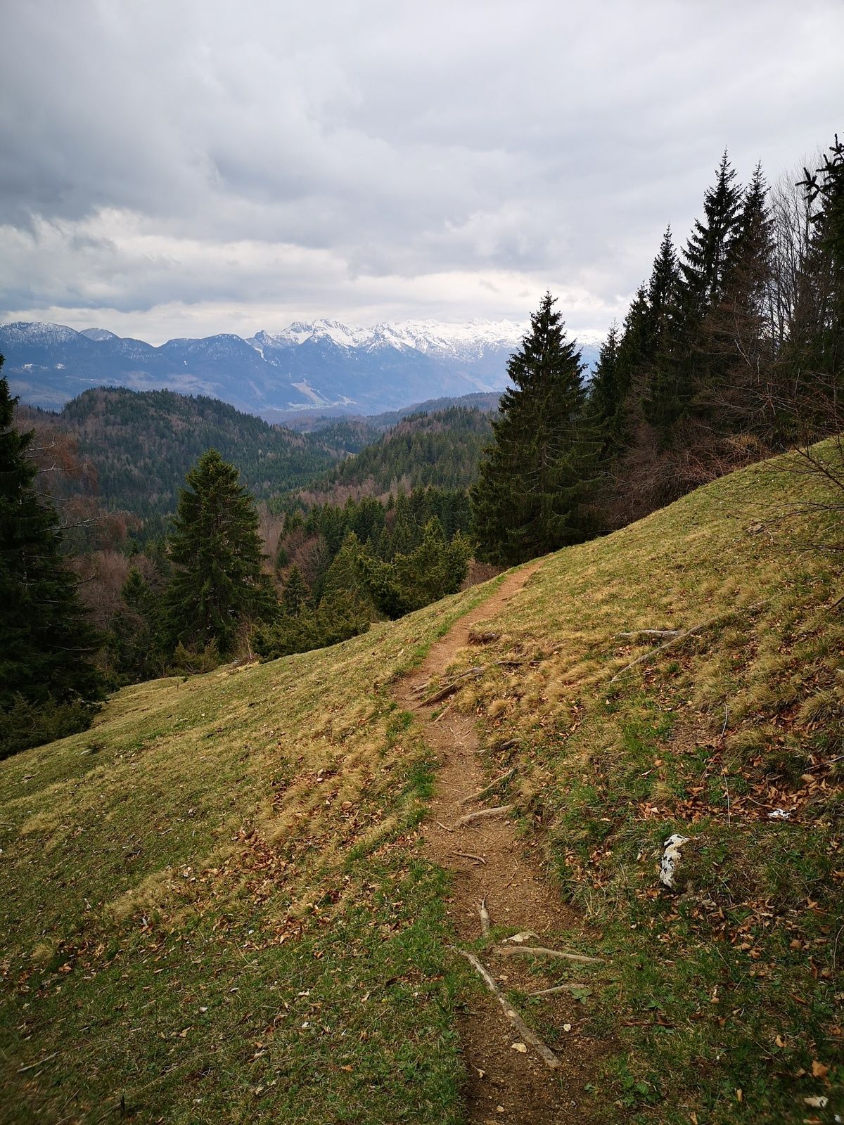
Galetovec offers nice views from the top of a rocky cliff above Bohinjska Bela. It’s popular choice for hikers who like to go off the beaten track and who are fit enough for vigorous exercise.
- Difficulté
-
difficile
- Évaluation
-
- Parcours
-
Bohinjska Bela0,6 kmIglica (550 m)0,9 kmGaletovec (1.265 m)6,0 kmPlanina za Jamo (1.005 m)7,9 kmGostilna Batišt13,3 kmBohinjska Bela14,1 km
- Meilleure saison
-
janv.févr.marsavrilmaijuinjuil.aoûtsept.oct.nov.déc.
- Hauteur maximale
- 1.261 m
- Point de mire
-
Heart of the village of Bohinjska Bela (488m).
- Profil en hauteur
-
 © outdooractive.com


- Auteur
-
La randonnée Galetovec (1.265 m) est utilisé par outdooractive.com fourni par.
GPS Downloads


Informations générales
Climat thérapeutique
Flore
Faune
Prometteur
Autres parcours dans les régions
-
Wörthersee - Rosental
1957
-
Bled
211


