© Turizem Bled - Jošt Gantar
© Zavod za kulturo Bled - Vizualist

- Brève description
-
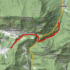
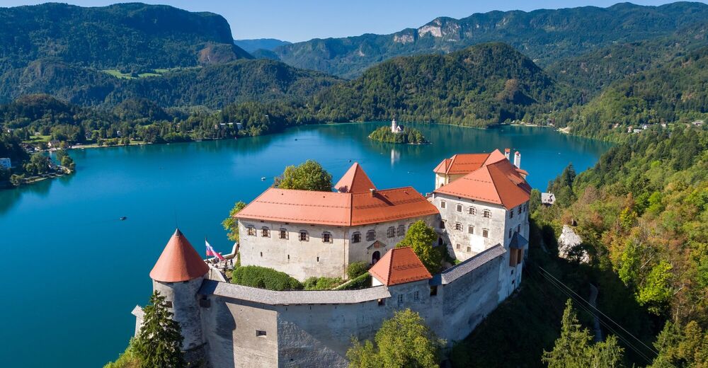
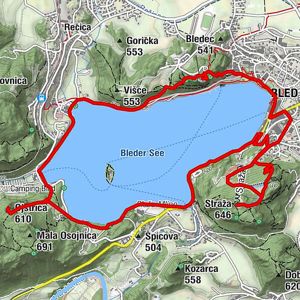
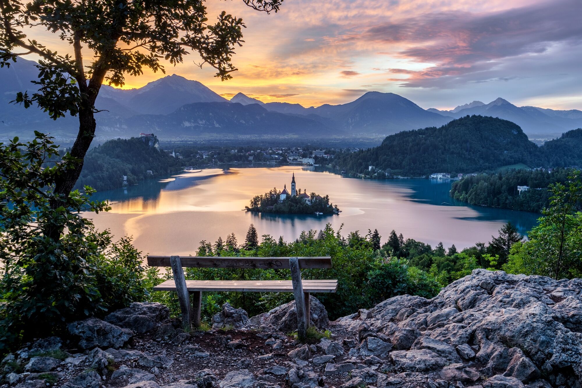
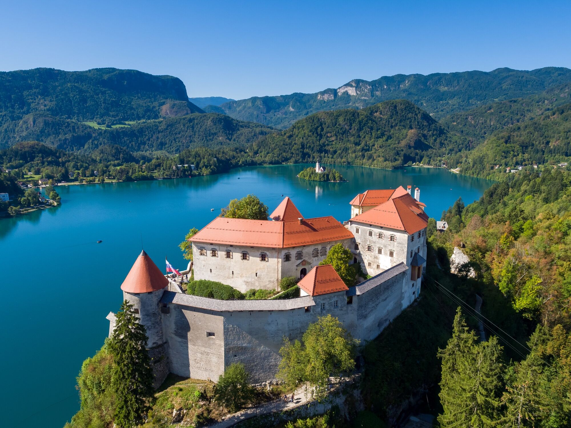
Ascents to Straža, Ojstrica and Bled Castle are added to the classical path around the lake. The above-mentioned sites offer the most iconic panoramic views from the south, west and north.
- Difficulté
-
moyen
- Évaluation
-
- Parcours
-
Bled0,0 kmStraža1,9 kmOjstrica (610 m)6,4 kmRestavracija Zaka7,9 kmSveti Martin9,9 kmBled10,3 km
- Meilleure saison
-
janv.févr.marsavrilmaijuinjuil.aoûtsept.oct.nov.déc.
- Hauteur maximale
- 641 m
- Point de mire
-
Lakeside Promenade on the eastern shore of Lake Bled (480 m).
- Profil en hauteur
-
 © outdooractive.com
- Auteur
-
La randonnée Lakeside Panoramic Route est utilisé par outdooractive.com fourni par.
GPS Downloads


Informations générales
Point de rassemblement
Climat thérapeutique
Culturel/Historiquement
Flore
Prometteur
Autres parcours dans les régions
-
Wörthersee - Rosental
1949
-
Gorenjska
141
-
Bled
209