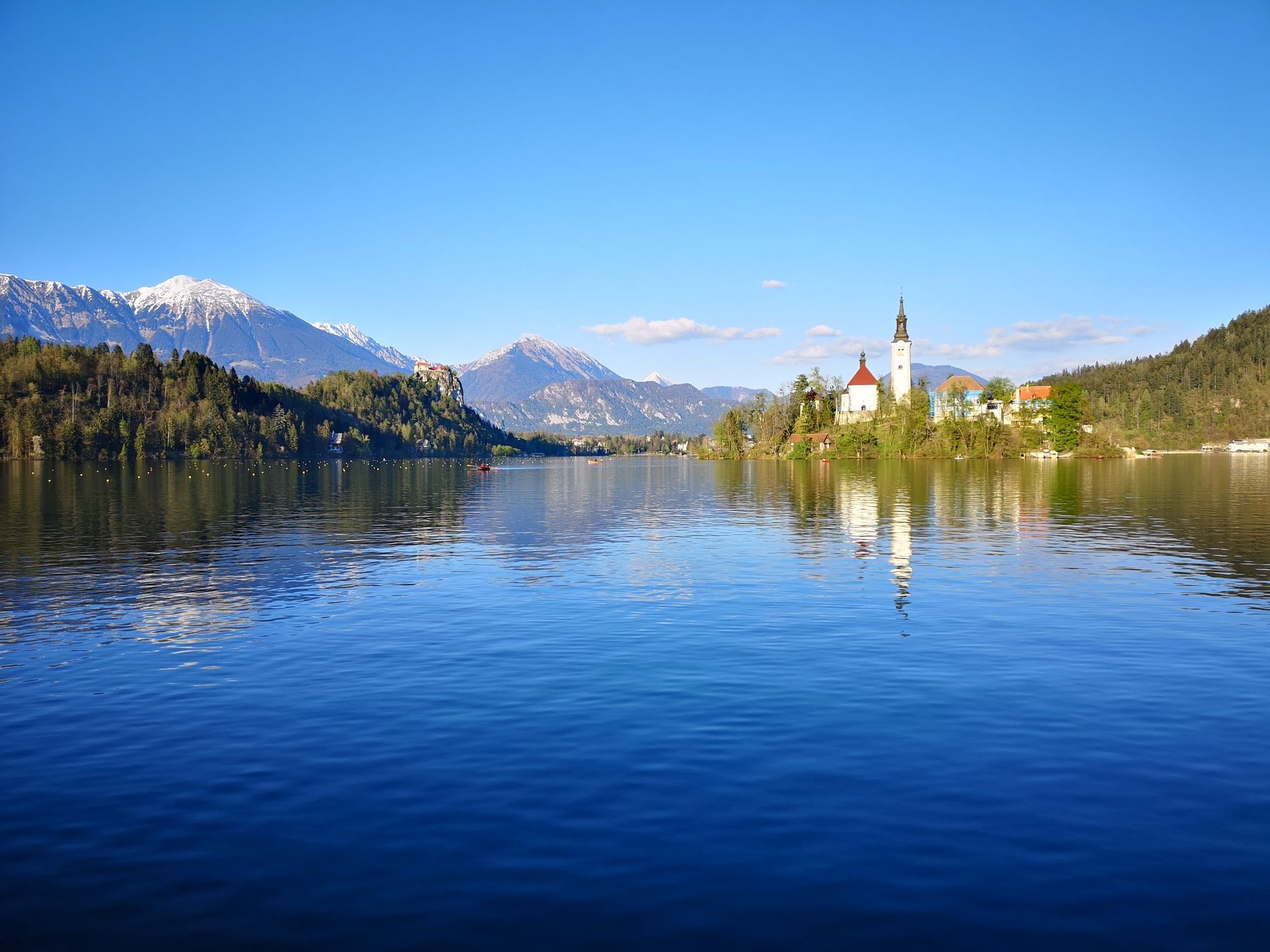
© Turizem Bled - Anja Šmit
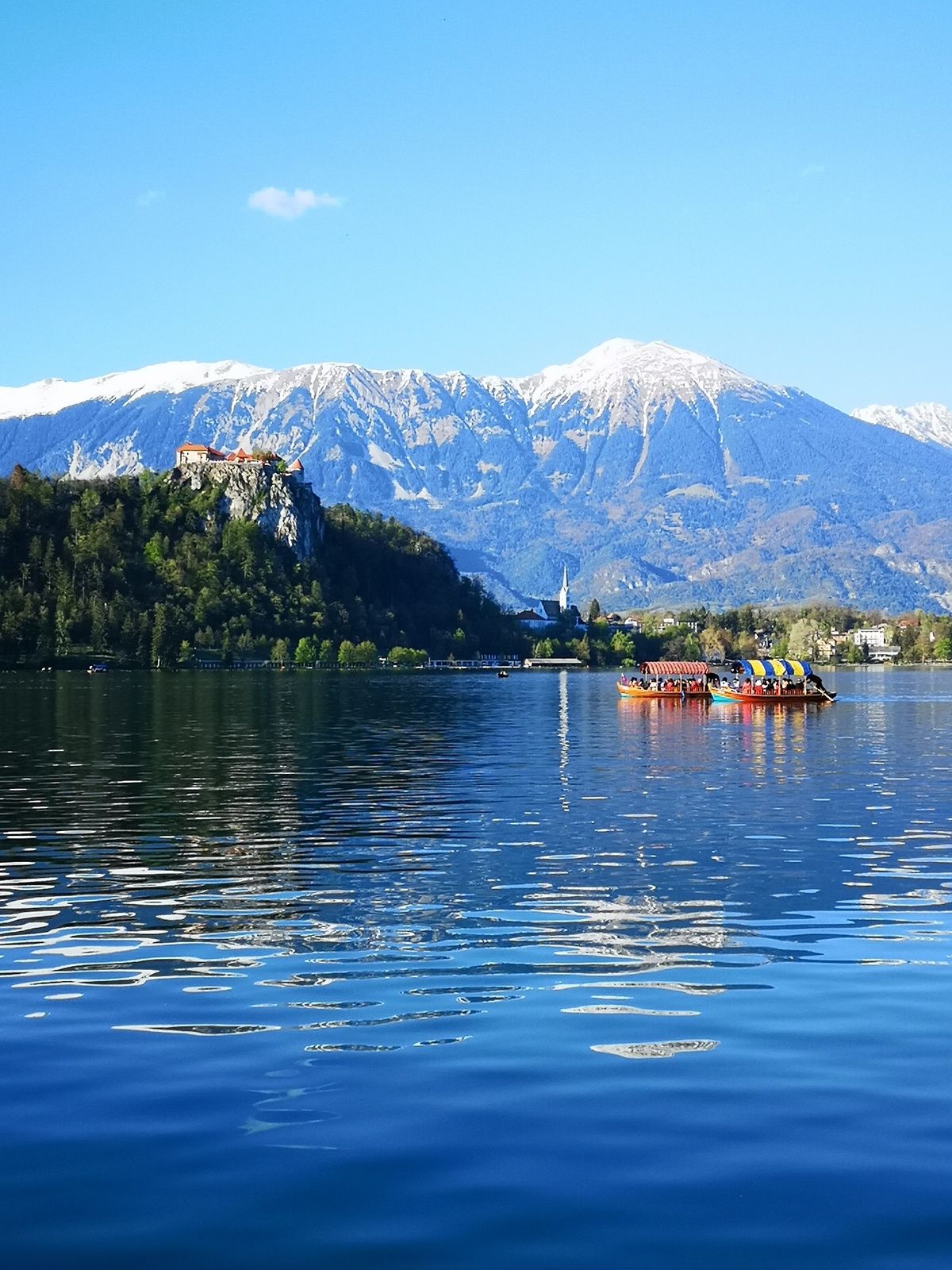
© Turizem Bled - Anja Šmit
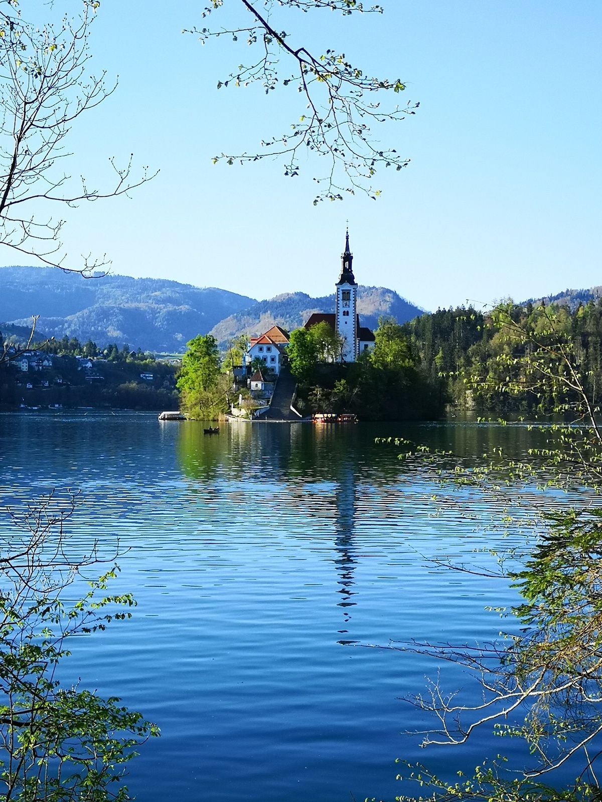
© Turizem Bled - Anja Šmit

© Turizem Bled - Anja Kikelj

- Brève description
-
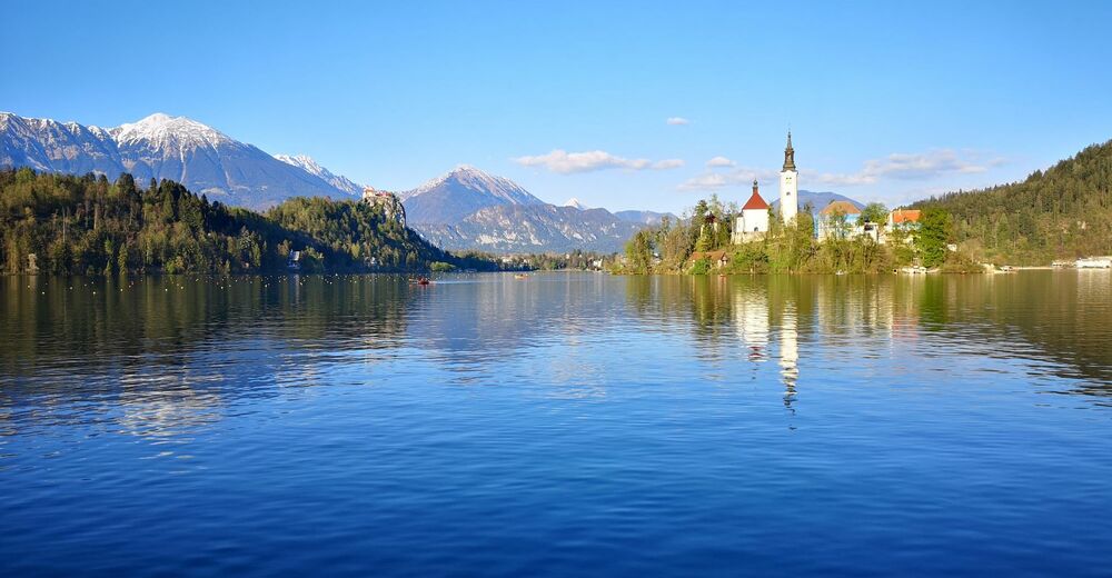
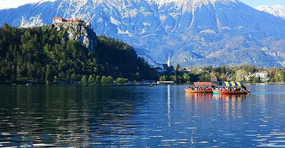
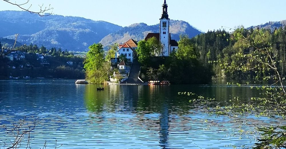
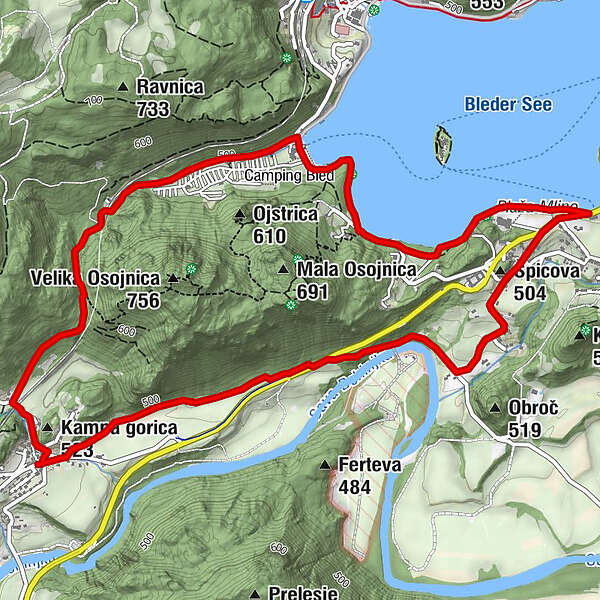
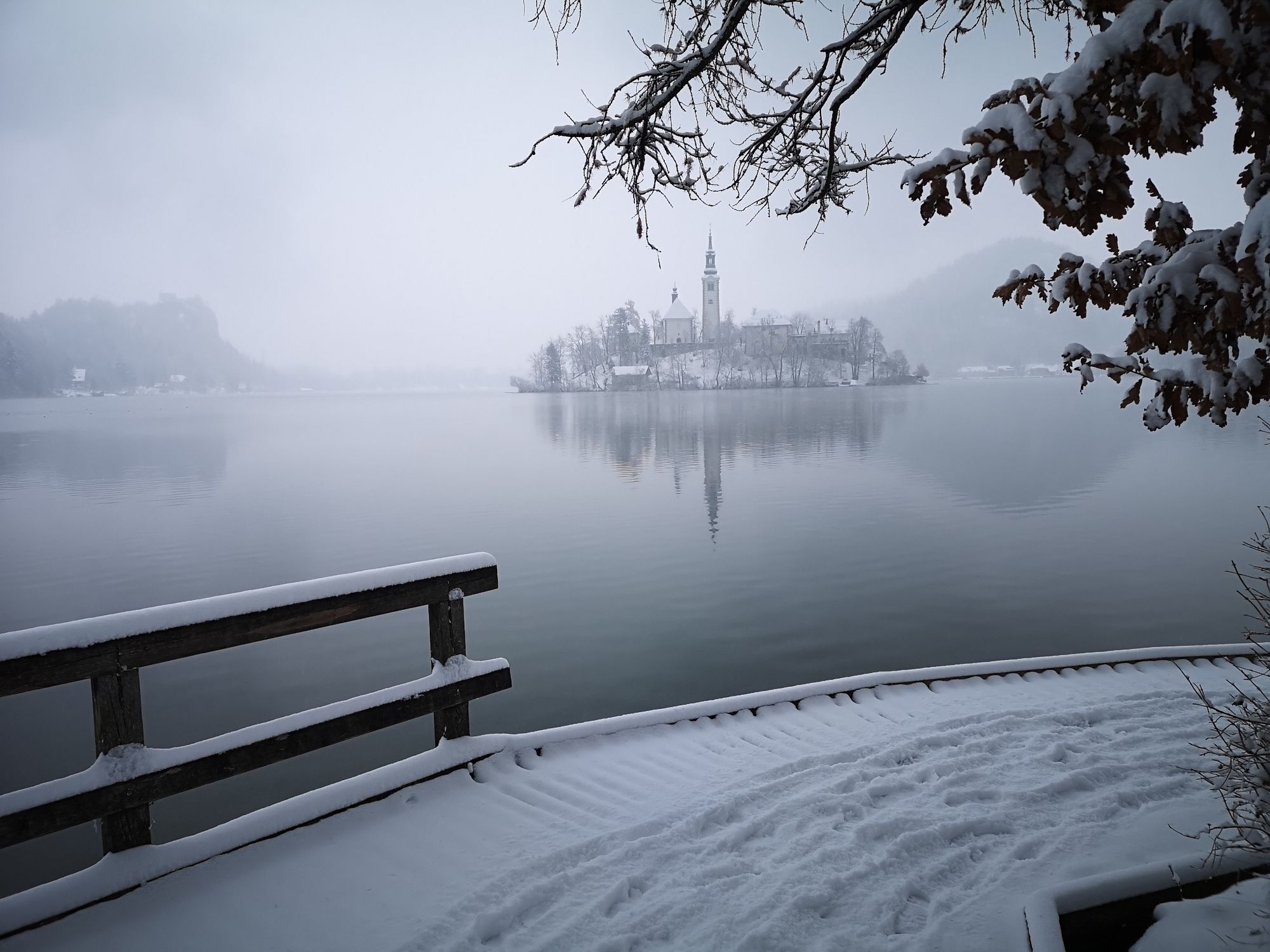
The path around Osojnica hill is the shortest path from Bohinjska Bela to the lake and bathing area. The path runs through the forest, and along the lake shore and the Sava Bohinjka River as well as across the fields.
- Difficulté
-
moyen
- Évaluation
-
- Parcours
-
Restavracija Zaka Camping Bled2,4 kmŠpicova (504 m)4,5 km
- Meilleure saison
-
janv.févr.marsavrilmaijuinjuil.aoûtsept.oct.nov.déc.
- Hauteur maximale
- 591 m
- Point de mire
-
Heart of the village of Bohinjska Bela (488m).
- Profil en hauteur
-
 © outdooractive.com
- Auteur
-
La randonnée Around Osojnica est utilisé par outdooractive.com fourni par.
GPS Downloads


Informations générales
Climat thérapeutique
Flore
Faune
Prometteur
Autres parcours dans les régions
-
Wörthersee - Rosental
1949
-
Gorenjska
141
-
Bled
209