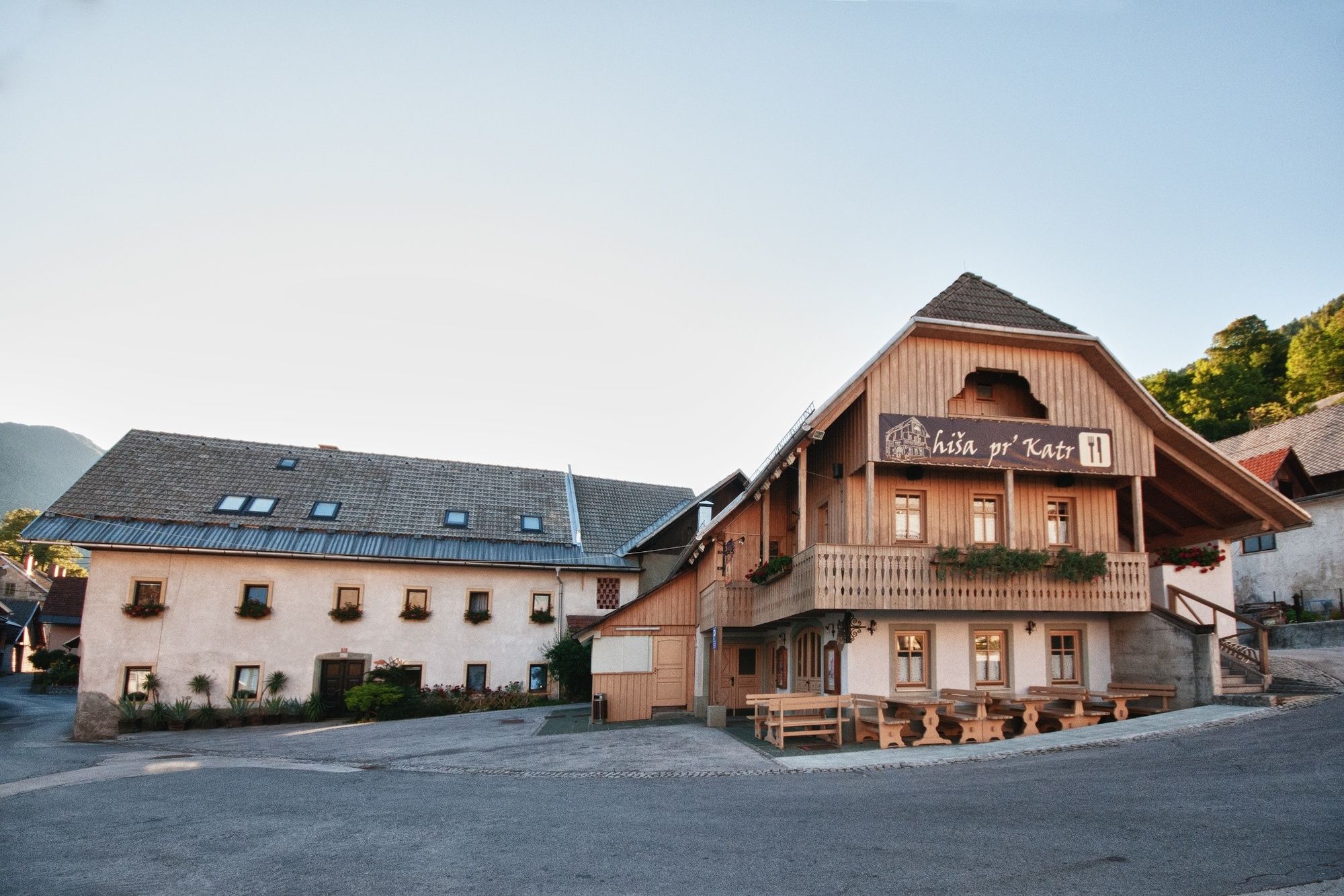
© Julische Alpen - Miro Podgoršek
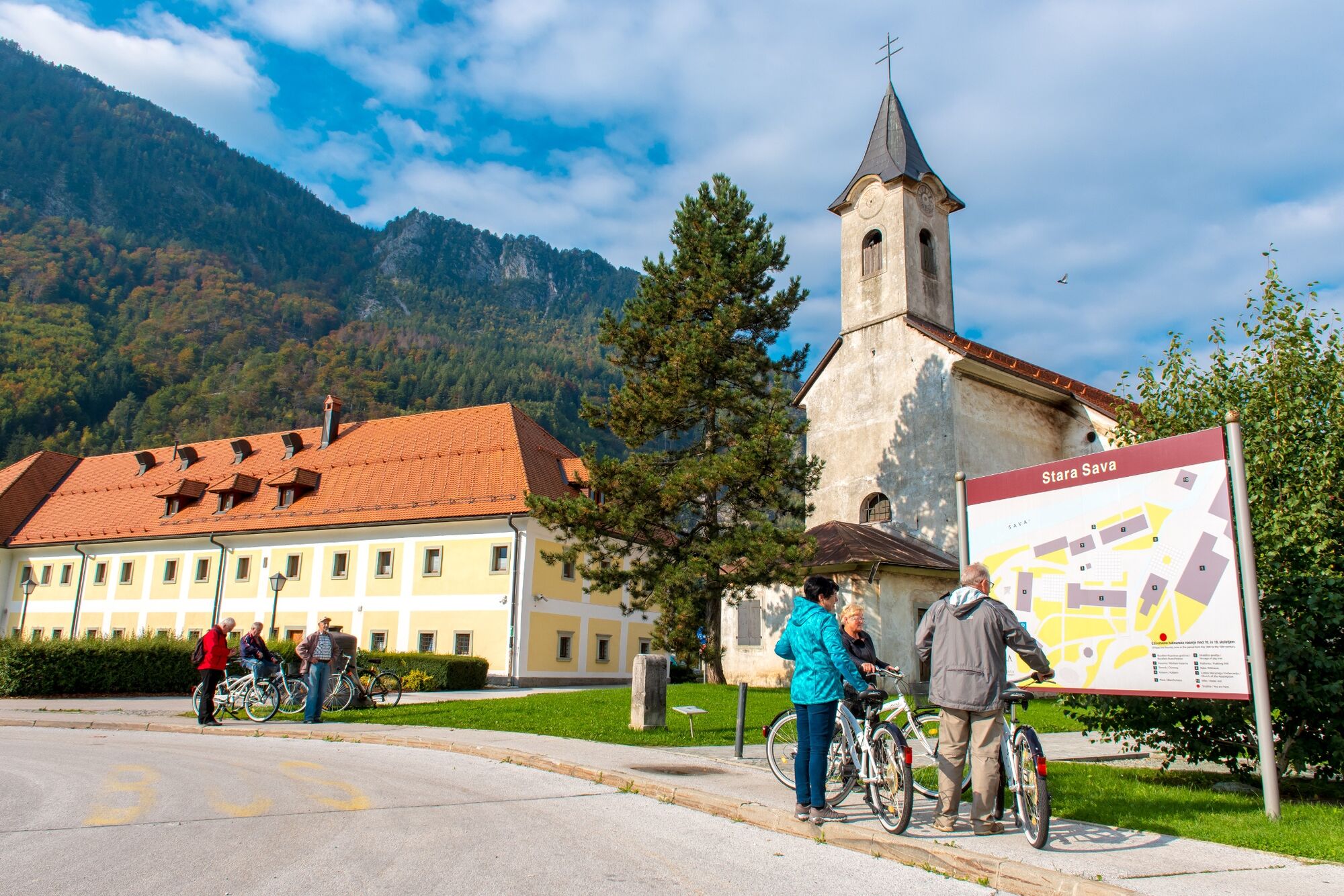
© Julische Alpen - Mitja Sodja
© Julische Alpen - Miro Podgoršek
© Julische Alpen - Mitja Sodja
© Julische Alpen - Mitja Sodja

© turizem Kranjska Gora - Mitja Sodja
© Julische Alpen - Mitja Sodja
© Julische Alpen - Gregor Vidmar

© Turizem Jesenice - Gregor Vidmar
© Julische Alpen - Mitja Sodja
- Brève description
-
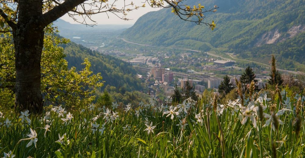
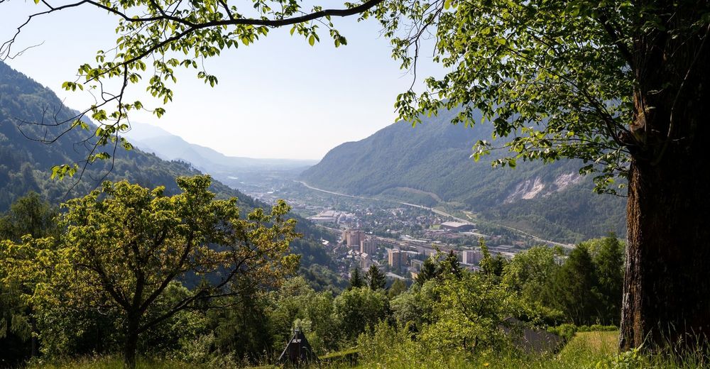
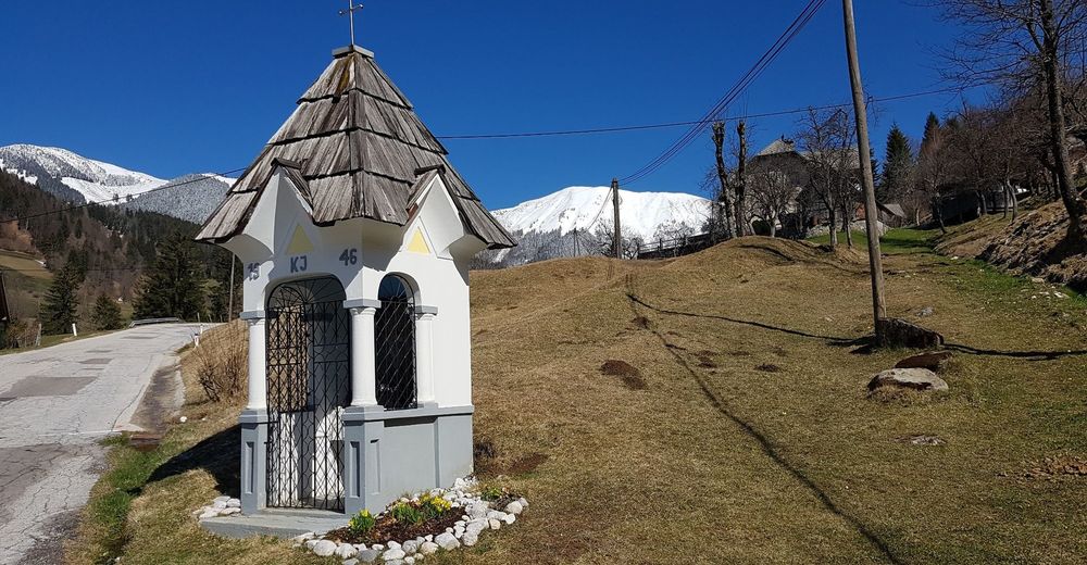
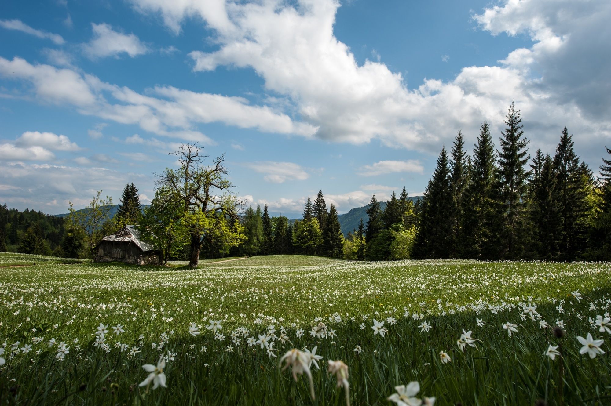
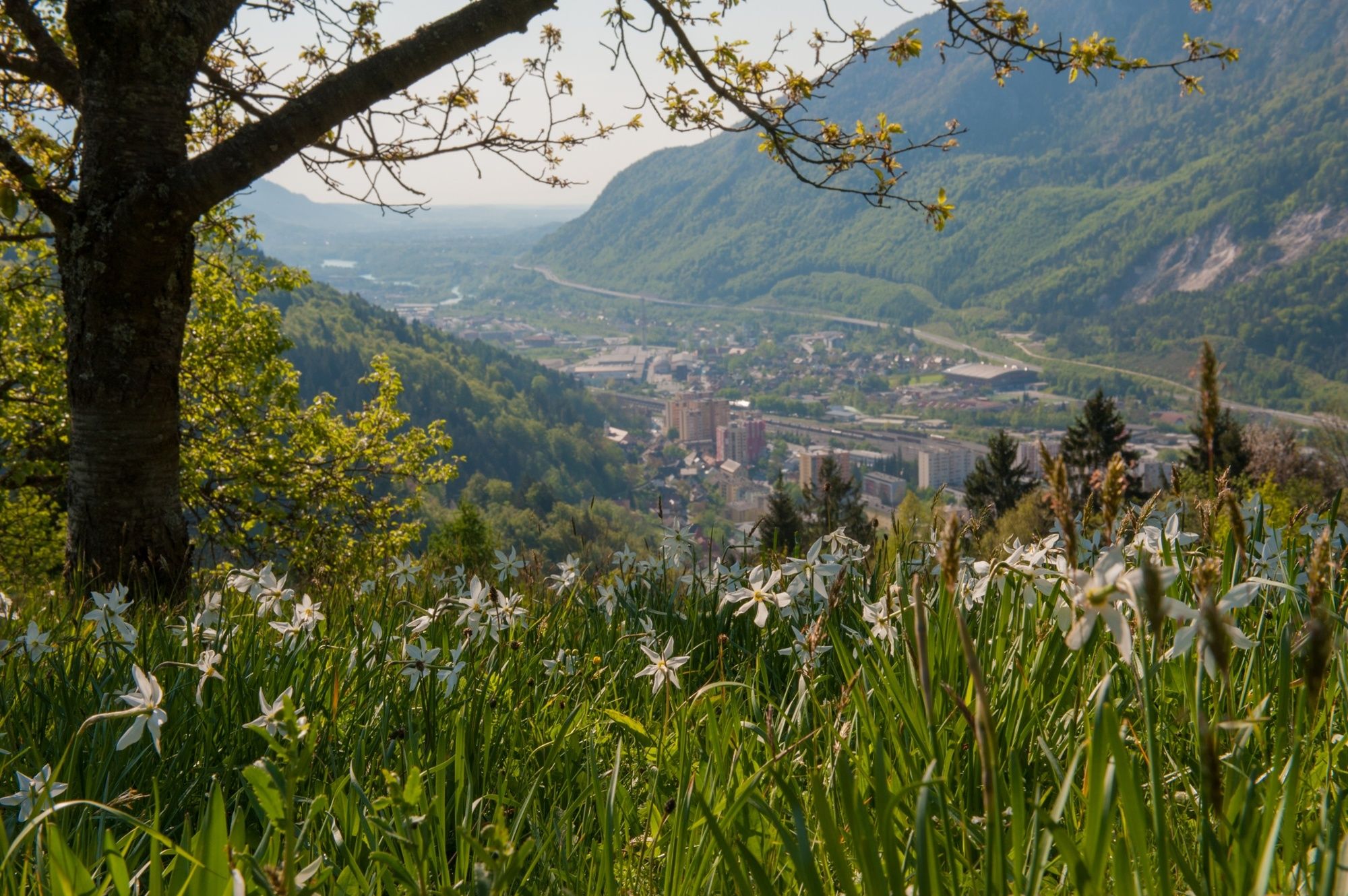
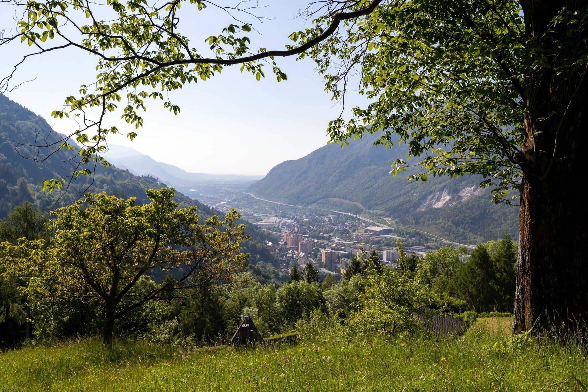
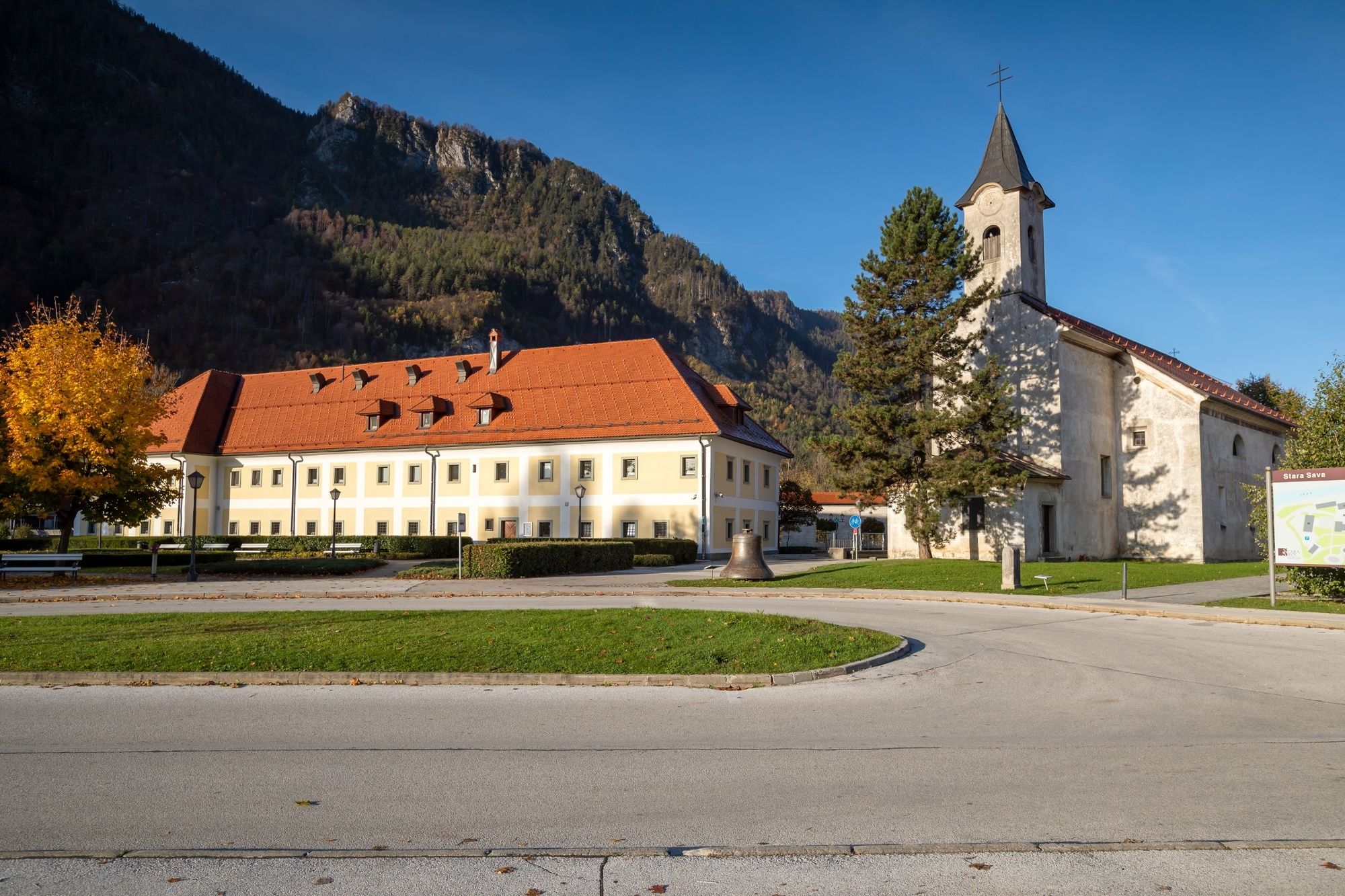
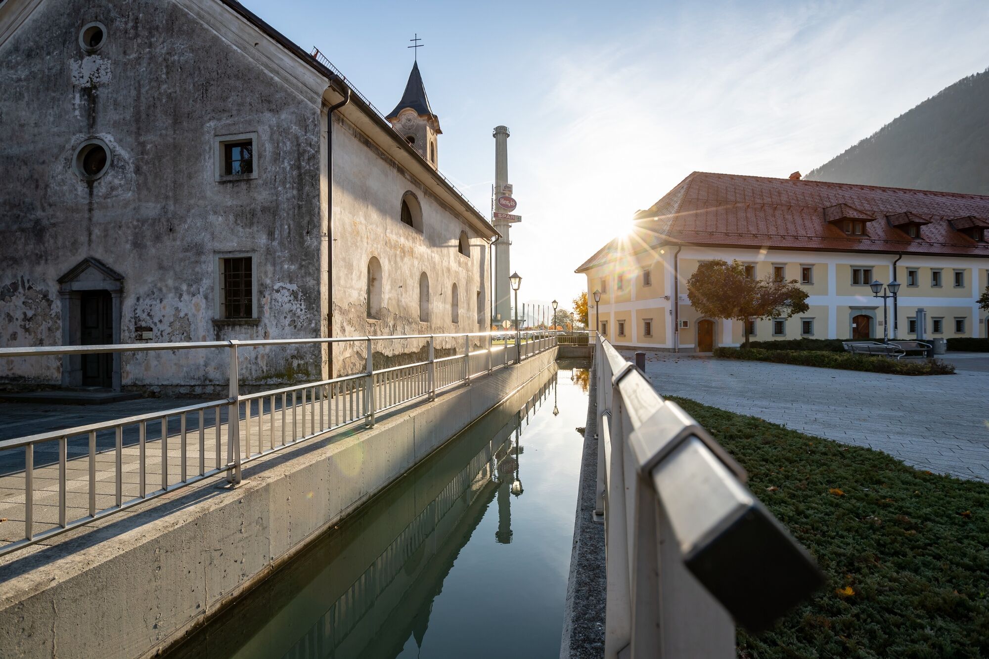
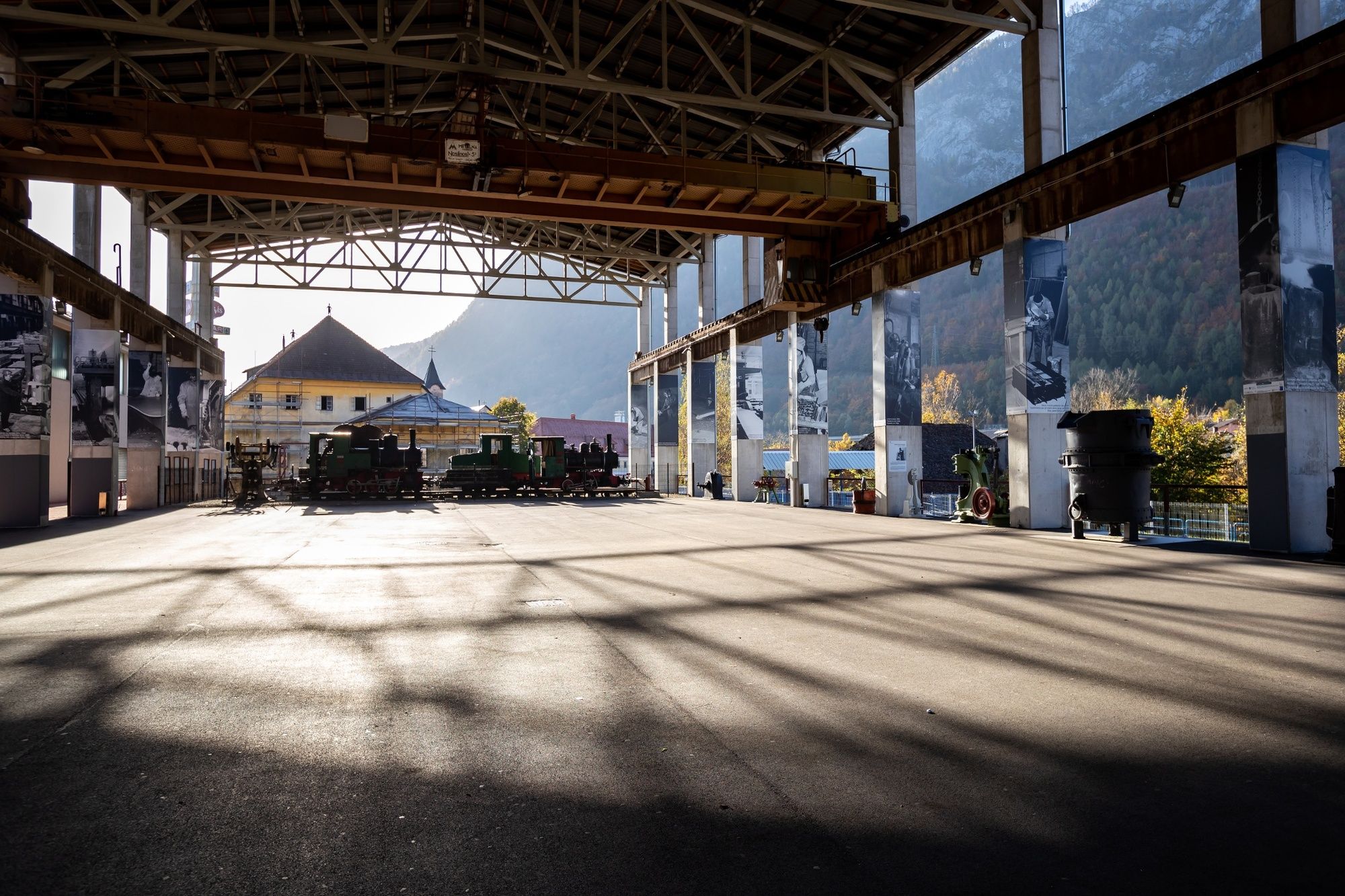
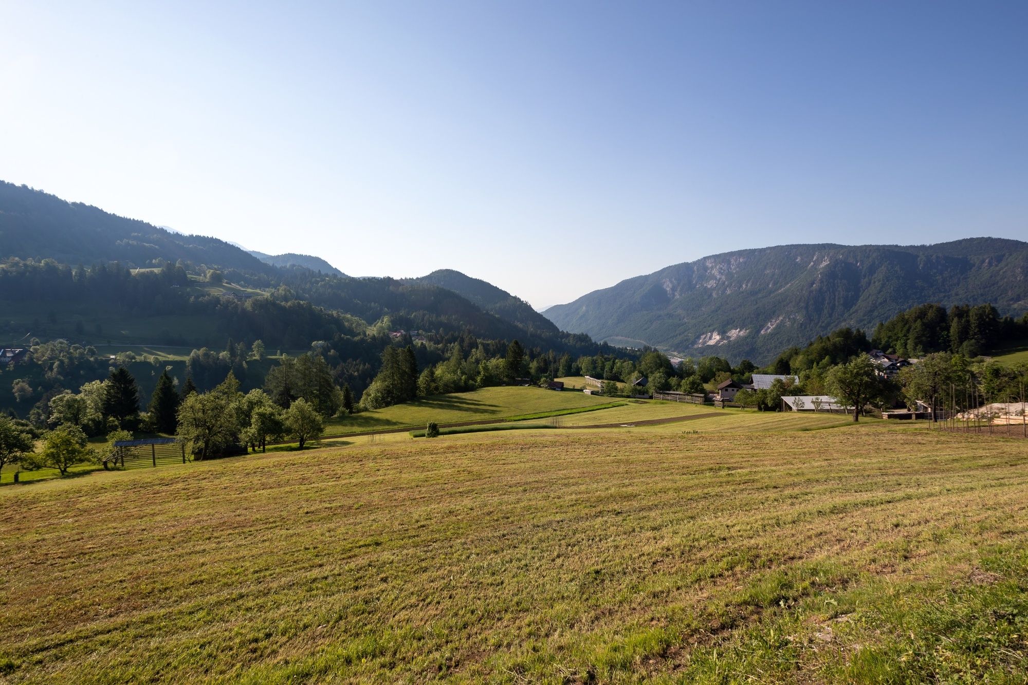
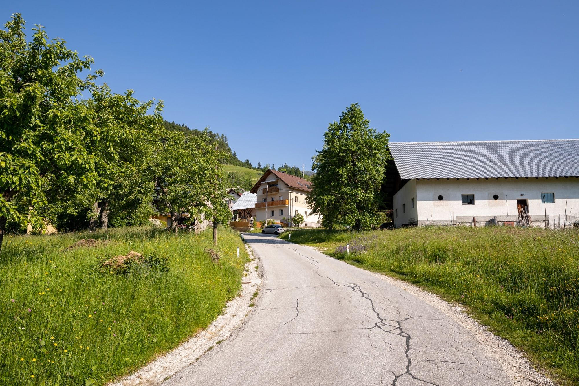
The stage 2 runs from Mojstrana through Dovje and the foothills of the Karavanke to the ironworks city of Jesenice. In the last section, the trail runs along an ancient mining trail.
- Difficulté
-
moyen
- Évaluation
-
- Parcours
-
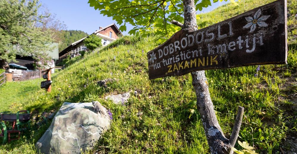
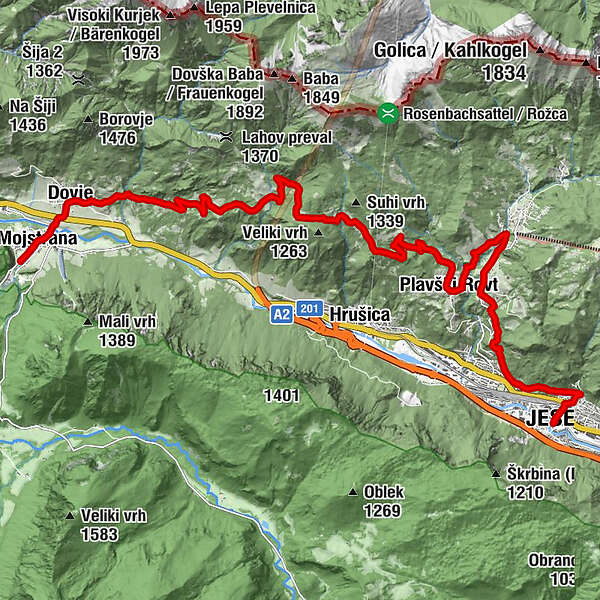
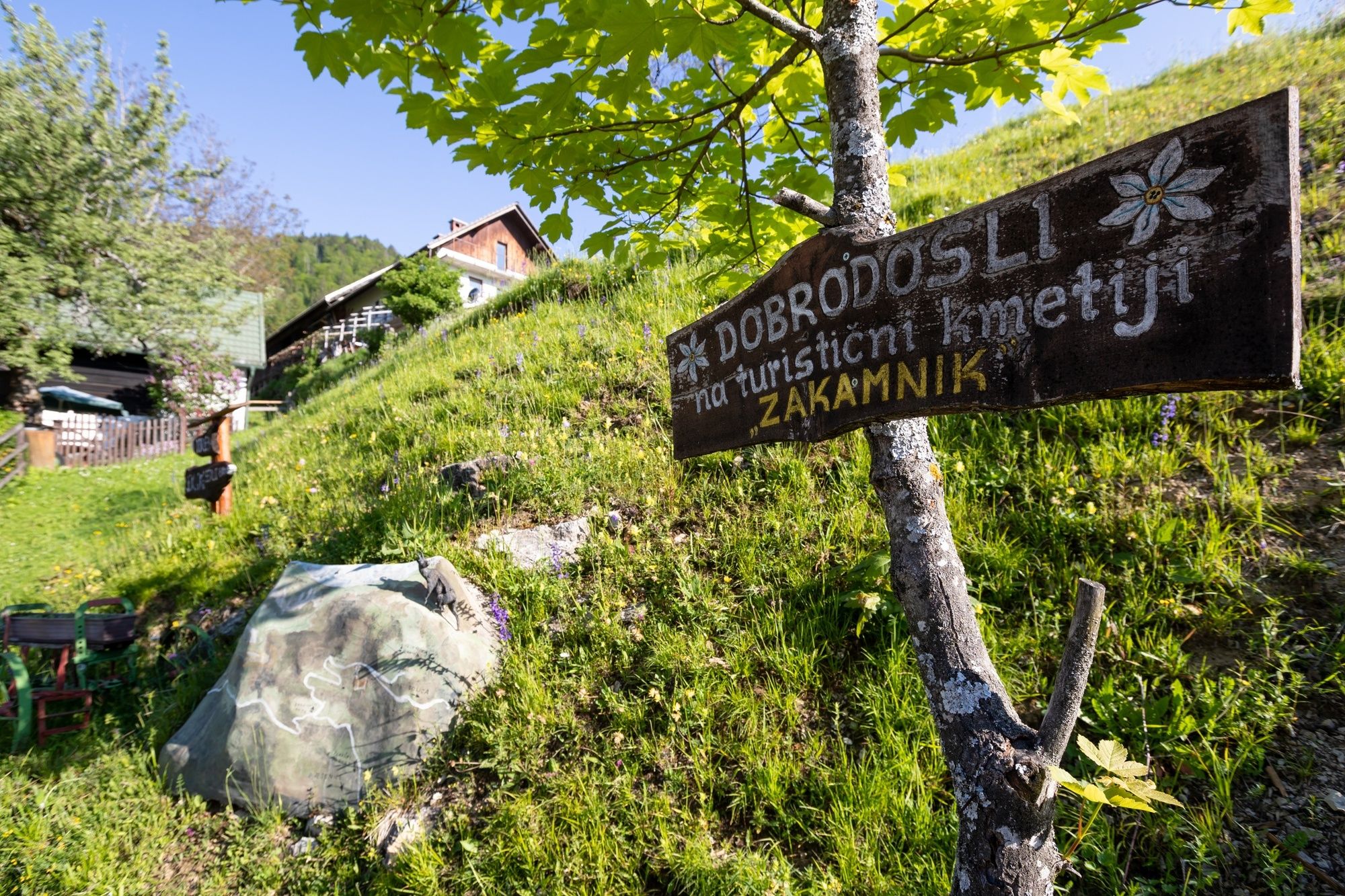
Pizzeria Kot0,3 kmMeistern in der Oberkrain0,4 kmLangenfeld in der Oberkrain (711 m)1,5 kmZakamnik11,2 kmPlavški Rovt13,3 kmPlanina pod Golico (954 m)15,1 kmMurova18,0 kmJesenice (576 m)20,2 kmCerkev Marijinega vnebovzetja20,5 km
- Meilleure saison
-
janv.févr.marsavrilmaijuinjuil.aoûtsept.oct.nov.déc.
- Hauteur maximale
- 1.229 m
- Point de mire
-
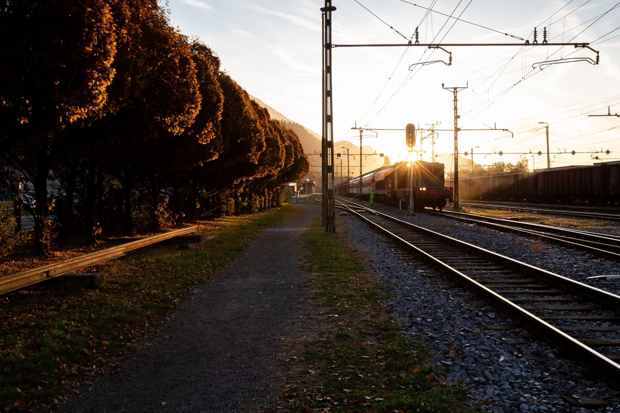
Railway station in Jesenice.
- Profil en hauteur
-
 © outdooractive.com


- Auteur
-
La randonnée JULIANA TRAIL: stage 2 Mojstrana - Jesenice est utilisé par outdooractive.com fourni par.
GPS Downloads


Informations générales
Climat thérapeutique
Culturel/Historiquement
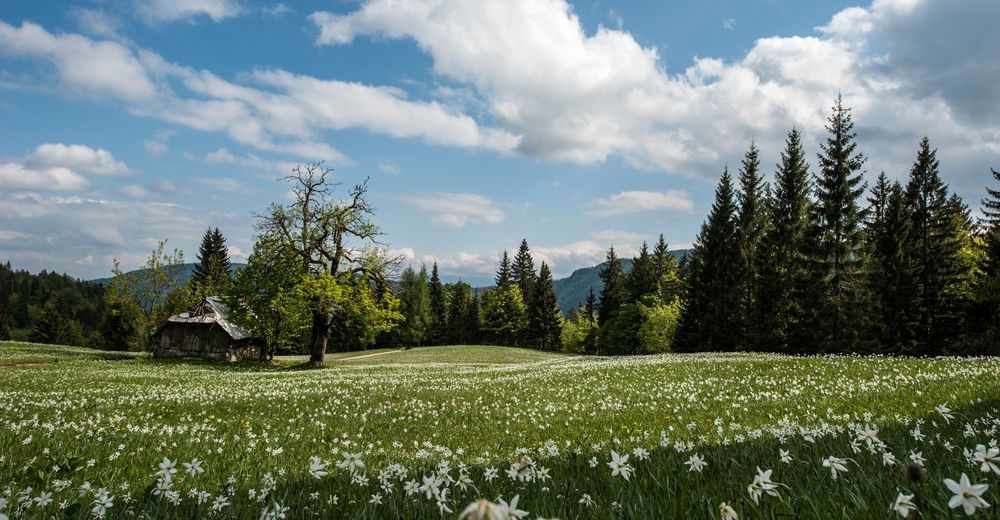
Flore
Prometteur
Autres parcours dans les régions