© Turizem Radovljica - Jošt Gantar

© Turizem Radovljica - Jošt Gantar

© Turizem Radovljica - Jošt Gantar

© Turizem Radovljica - Aleš Krivec
© Turizem Radovljica - Kaja Beton
© Turizem Radovljica - Jošt Gantar

- Brève description
-
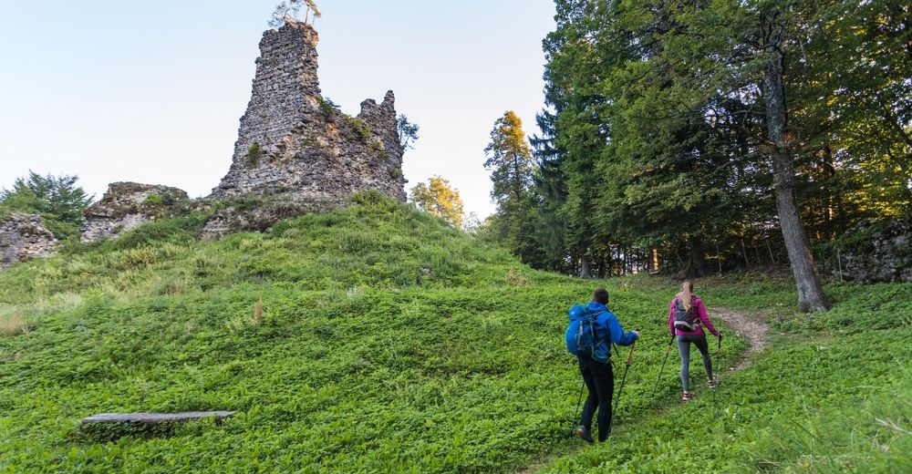
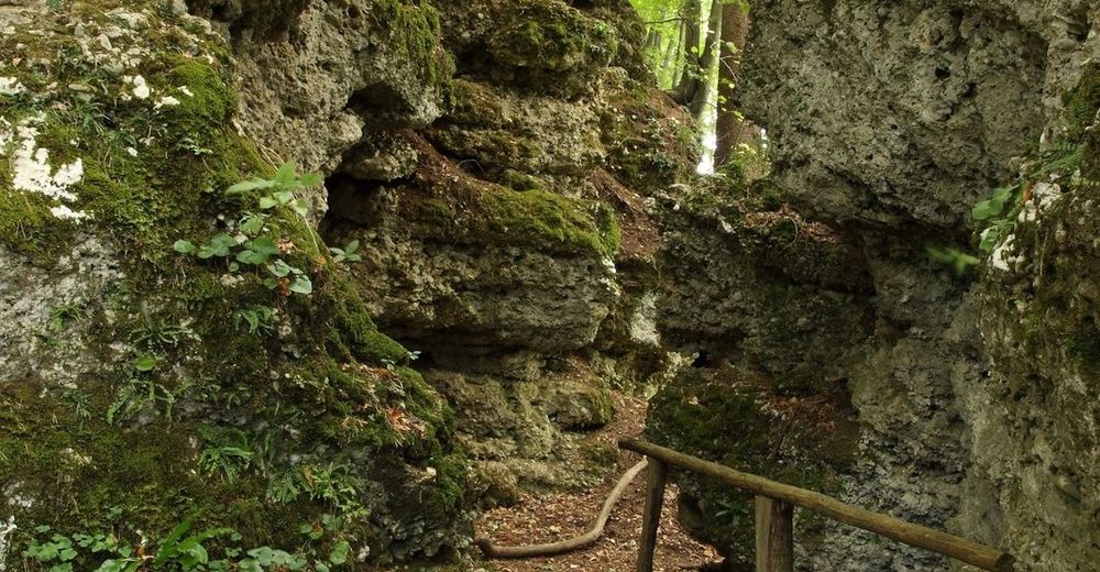
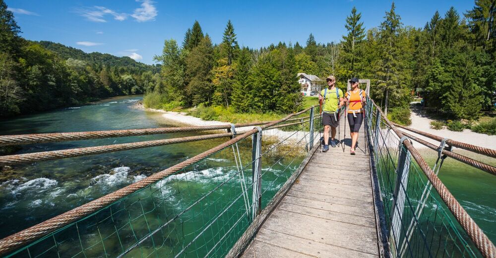
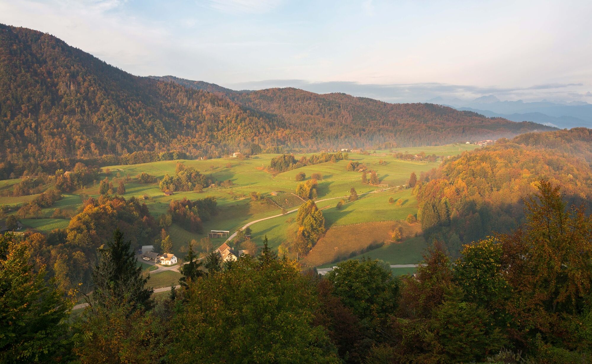
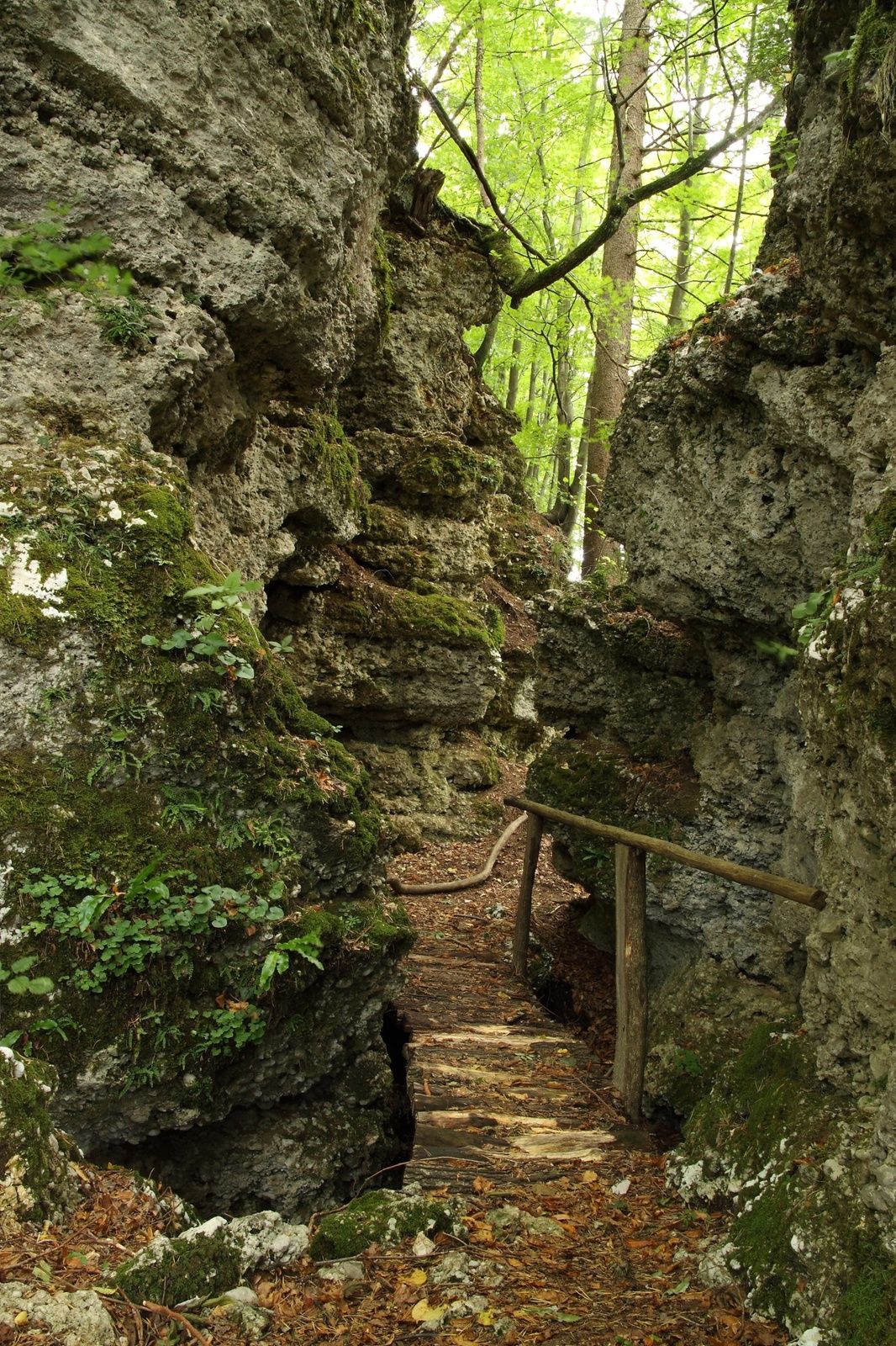
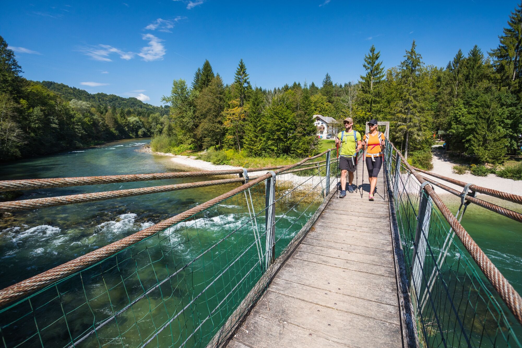
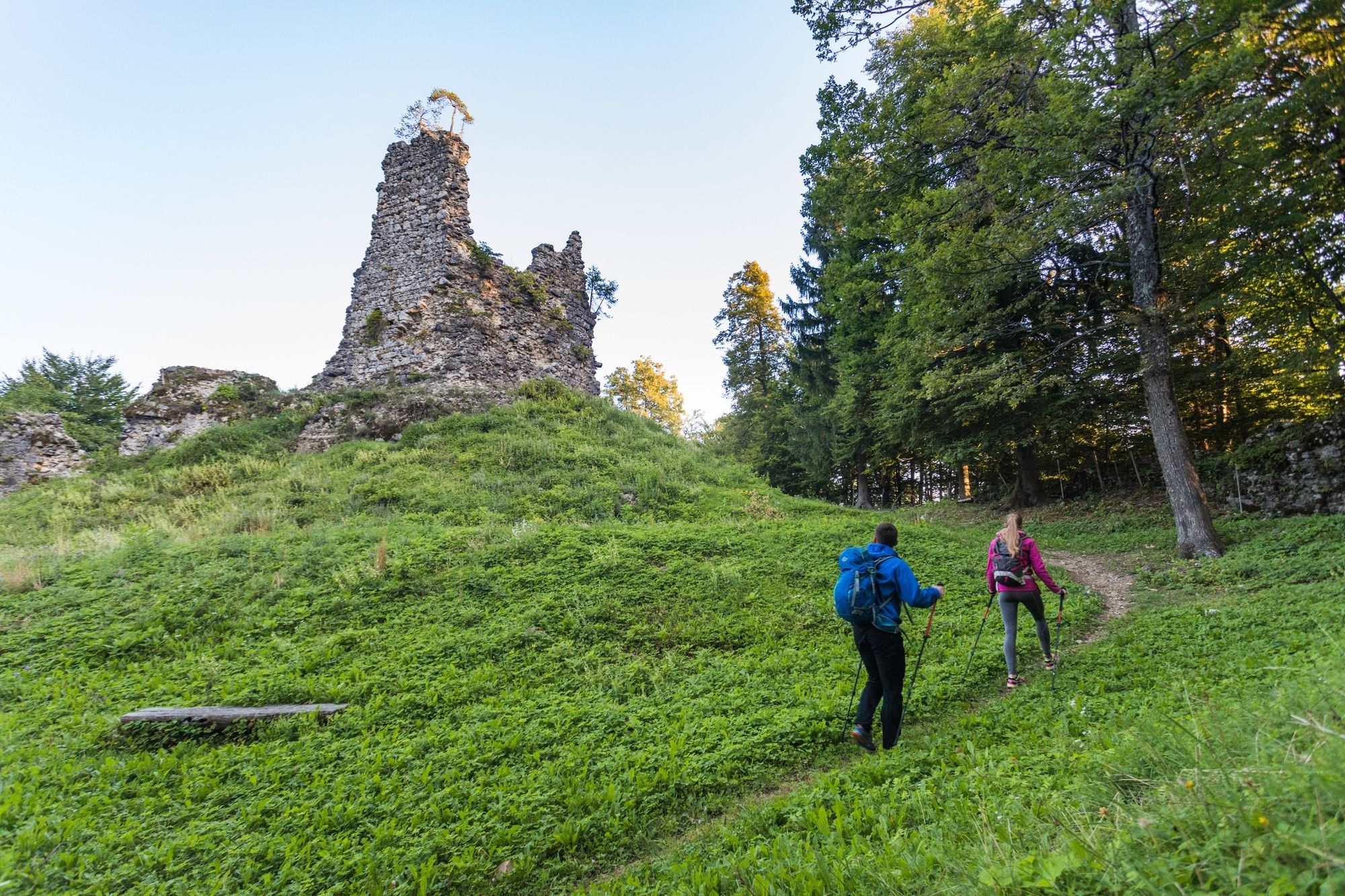
Fascinating circular trail from the streets of medieval Radovljica to the ruins of Lipnica castle (Pusti grad) uncovering stunning natural and cultural sights along the way.
- Difficulté
-
moyen
- Évaluation
-
- Parcours
-
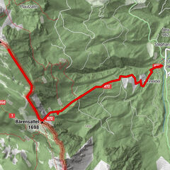
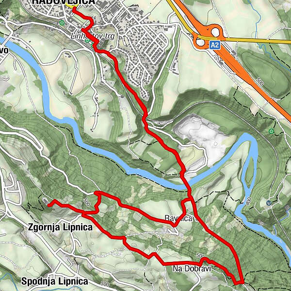
RadmannsdorfGostilna Lectar0,5 kmKamna Gorica3,3 kmZgornja Lipnica5,4 kmRavnica7,0 kmGostilna Lectar9,3 kmRadmannsdorf9,3 km
- Meilleure saison
-
janv.févr.marsavrilmaijuinjuil.aoûtsept.oct.nov.déc.
- Hauteur maximale
- 565 m
- Point de mire
-
Main bus station in Radovljica or. Tourist information centre in Radovljica
- Profil en hauteur
-
 © outdooractive.com


- Auteur
-
La randonnée The Lipnica Castle Trail est utilisé par outdooractive.com fourni par.
GPS Downloads


Informations générales
Culturel/Historiquement
Faune
Prometteur
Autres parcours dans les régions
-
Wörthersee - Rosental
1956
-
Gorenjska
141
-
Radovljica
168