© Turizem Bohinj - Mojca Odar

© Turizem Bohinj - Mitja Sodja

© Turizem Bohinj - Mitja Sodja

© Turizem Bohinj - Mitja Sodja

© Turizem Bohinj - Peter Strgar

© Turizem Bohinj - Mitja Sodja

© Turizem Bohinj - Mitja Sodja

© Turizem Bohinj - Mitja Sodja

© Turizem Bohinj - Mitja Sodja


- Brève description
-
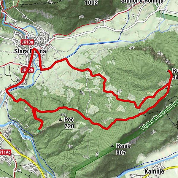
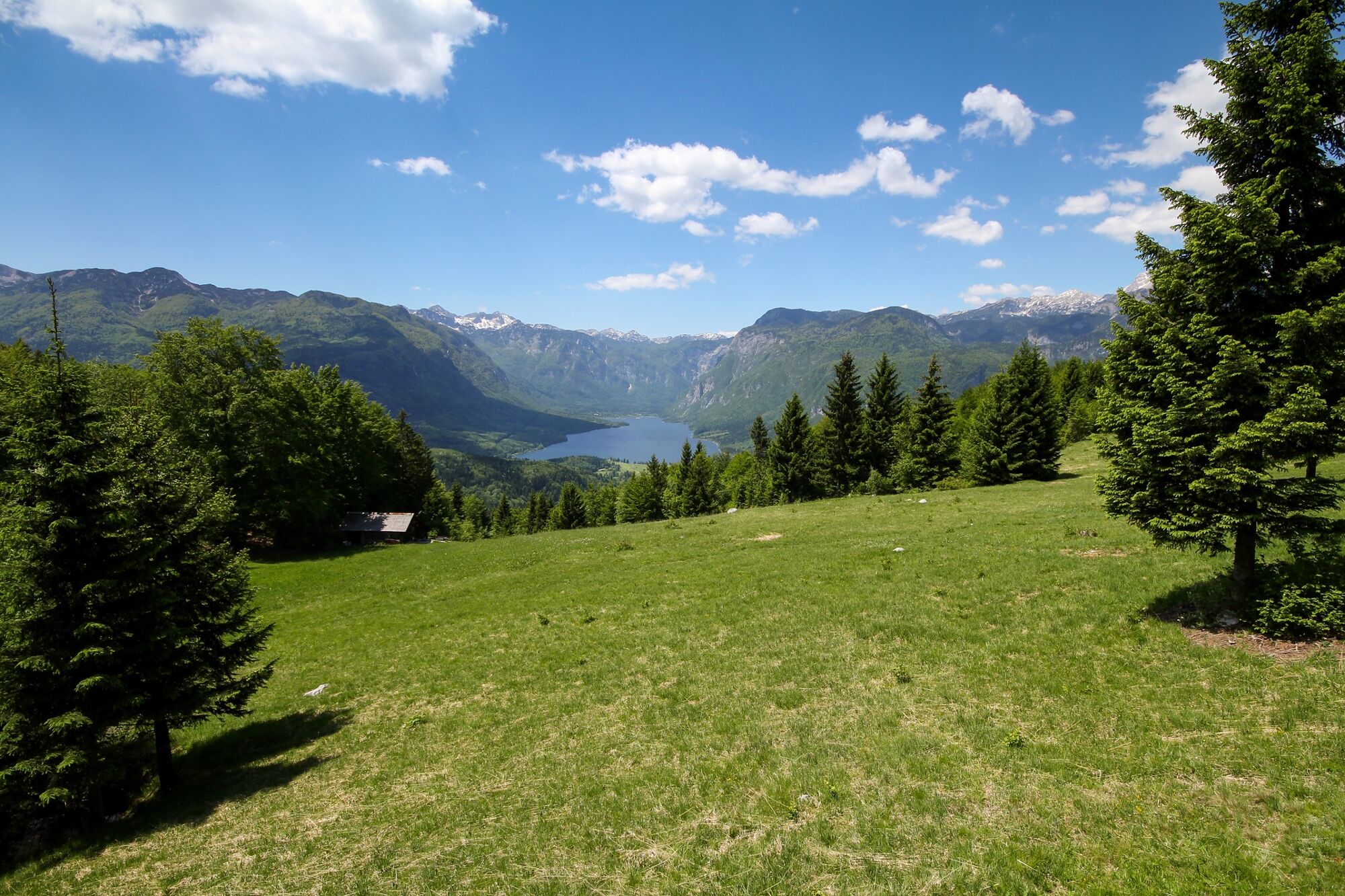
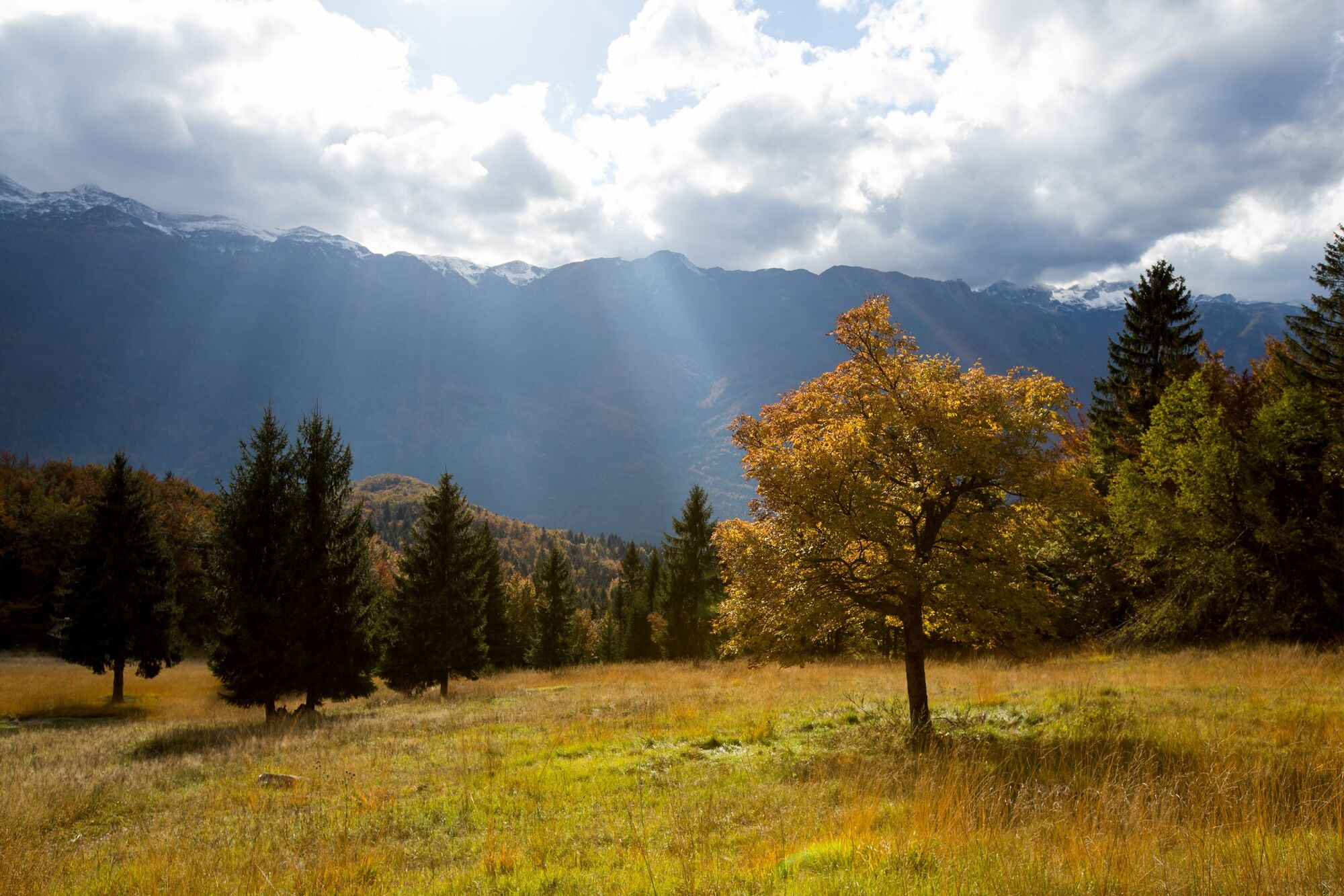
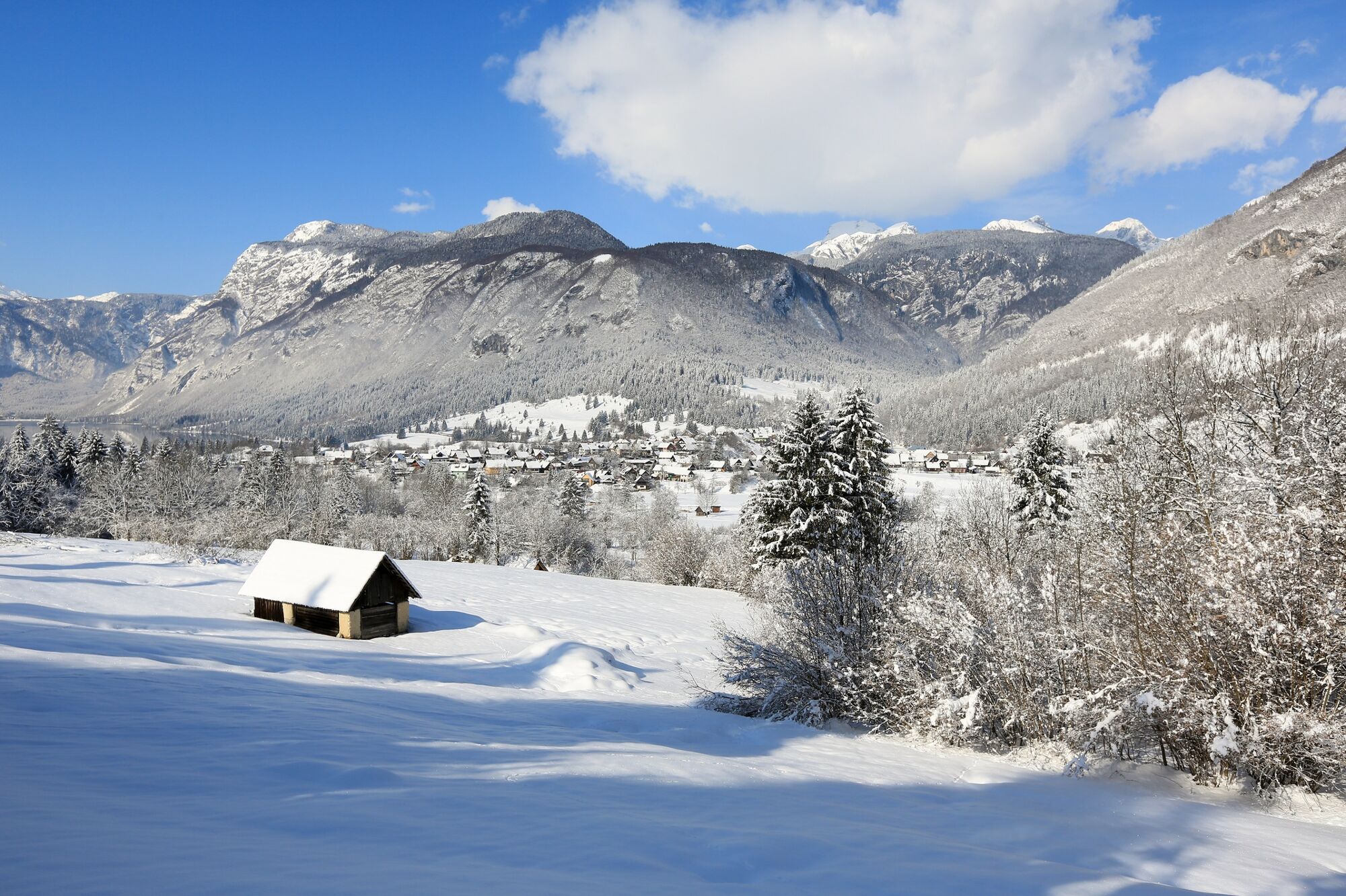
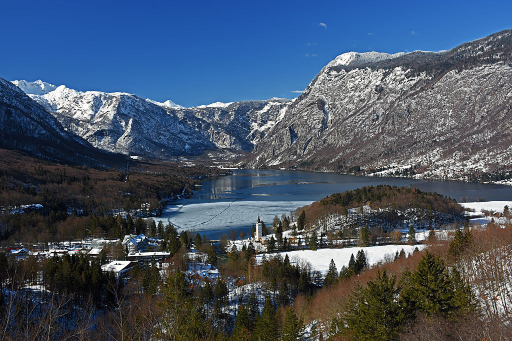
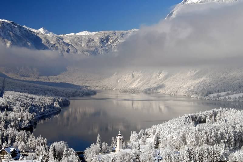
Many points along the circular trail to the top of Rudnica offer views of almost all corners of Bohinj and the surrounding mountains. Rudnica separates Bohinj in the Lower and Upper Bohinj Valleys.
- Difficulté
-
moyen
- Évaluation
-
- Parcours
-
AlthammerRudnica (946 m)4,8 kmGostilna Mihovc7,9 kmAlthammer8,1 km
- Meilleure saison
-
janv.févr.marsavrilmaijuinjuil.aoûtsept.oct.nov.déc.
- Hauteur maximale
- 939 m
- Point de mire
-
Rudnica
- Profil en hauteur
-
 © outdooractive.com


- Auteur
-
La randonnée Peč and Rudnica from Stara Fužina est utilisé par outdooractive.com fourni par.
GPS Downloads


Informations générales
Culturel/Historiquement
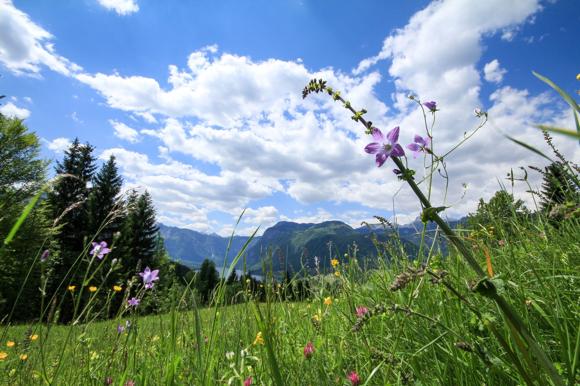
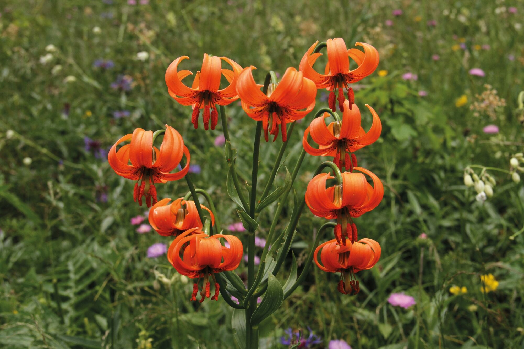
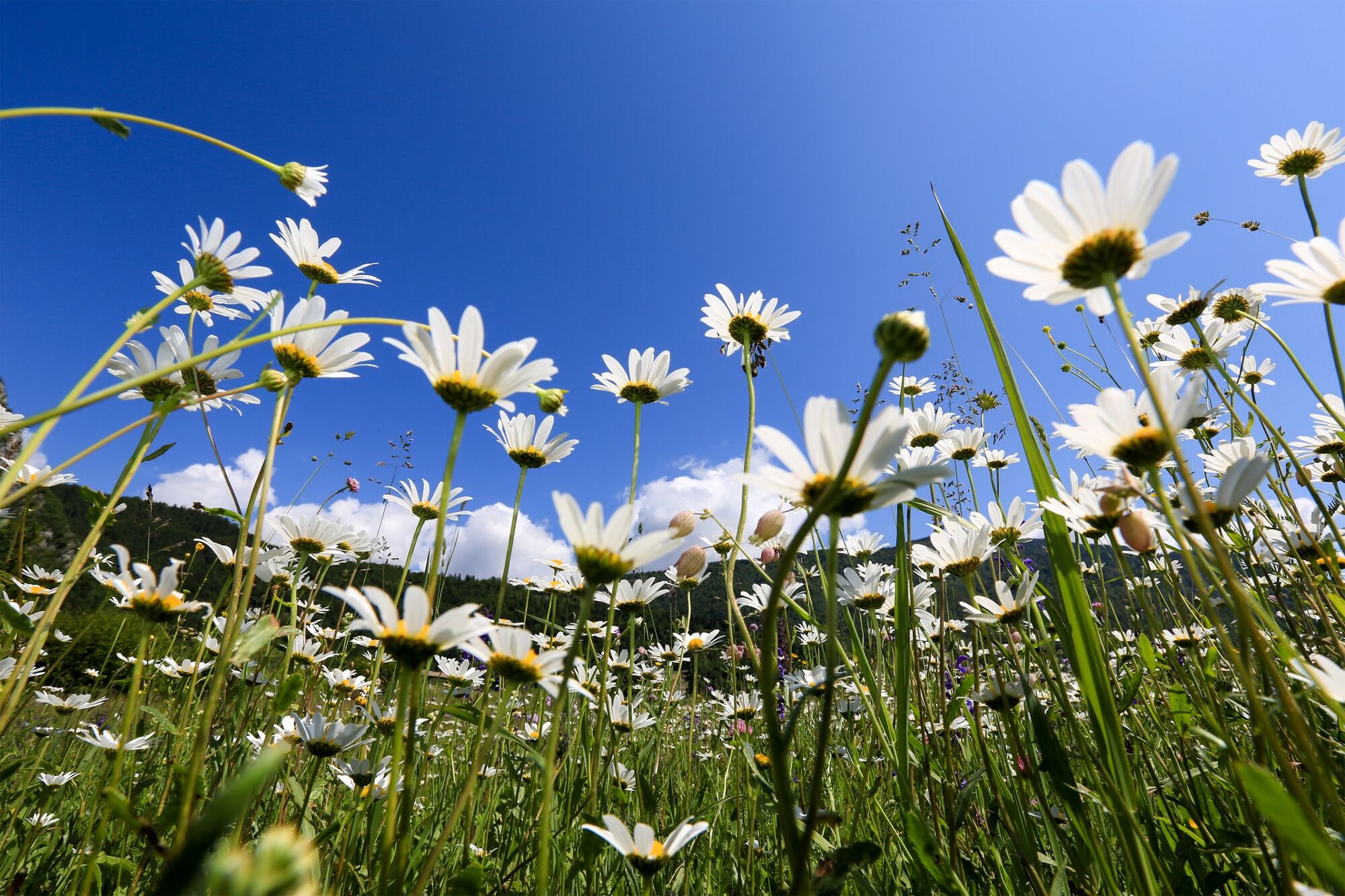
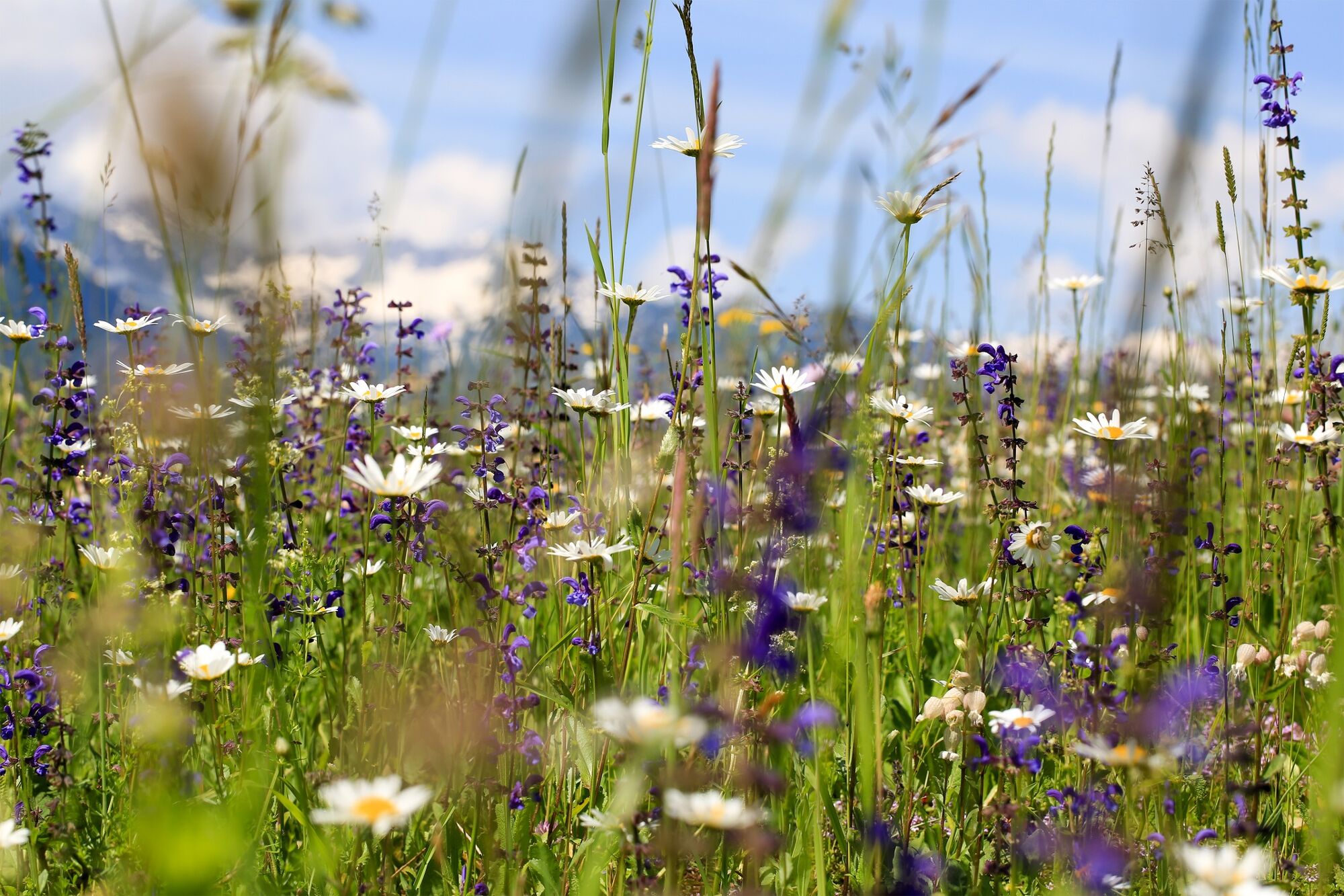
Flore
Prometteur
Autres parcours dans les régions
-
Bohinj
118