

© Turizem Radovljica - Maj Juvanec

© Turizem Radovljica - Maj Juvanec
© Turizem Radovljica - Jošt Gantar


© Turizem Radovljica - Kaja Beton


- Brève description
-
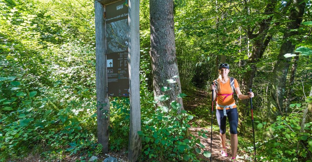
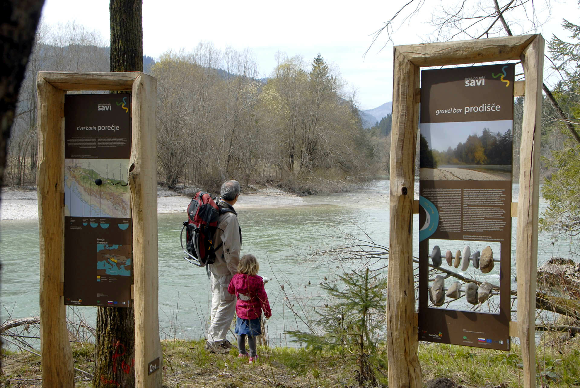
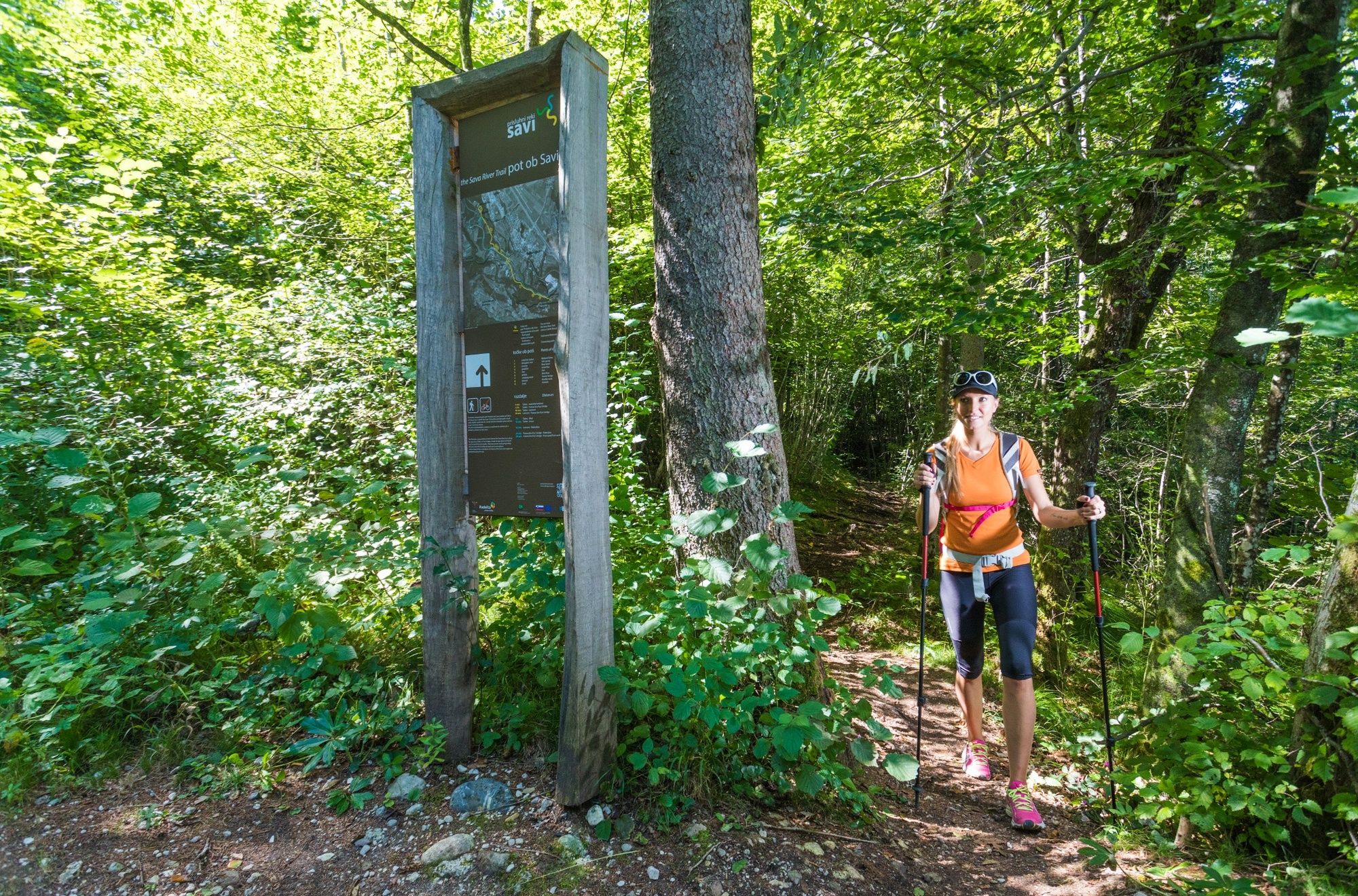
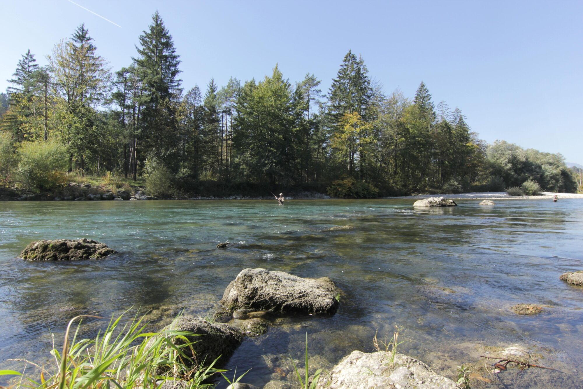
Listen to the Sava River and hike the hidden fisherman's paths and discover the stunning natural beauty of its riverside forests and meadows.
- Difficulté
-
facile
- Évaluation
-
- Parcours
-
Radmannsdorf2,5 kmLancovo2,7 km
- Meilleure saison
-
janv.févr.marsavrilmaijuinjuil.aoûtsept.oct.nov.déc.
- Hauteur maximale
- 441 m
- Point de mire
-
Parking space opposite the reception of Camping Šobec
- Profil en hauteur
-
 © outdooractive.com


-

-
AuteurLa randonnée The Sava River Trail est utilisé par outdooractive.com fourni par.
GPS Downloads


Informations générales
Flore
Faune
Autres parcours dans les régions
-
Wörthersee - Rosental
1957
-
Gorenjska
141
-
Radovljica
168


