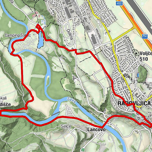
The Three Bridges Trail (Radovljica - Šobec - Lancovo - Radovljica)

Randonnée

© Turizem Radovljica - Jošt Gantar

© Turizem Radovljica - Jošt Gantar
© Turizem Radovljica - Jošt Gantar

© Turizem Radovljica - Jošt Gantar

© Turizem Radovljica - Jošt Gantar

- Brève description
-
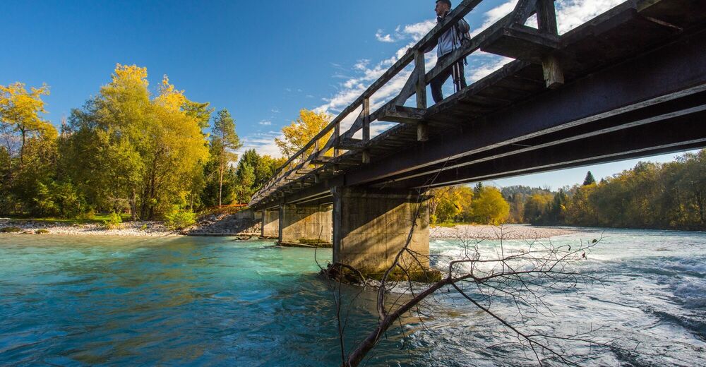
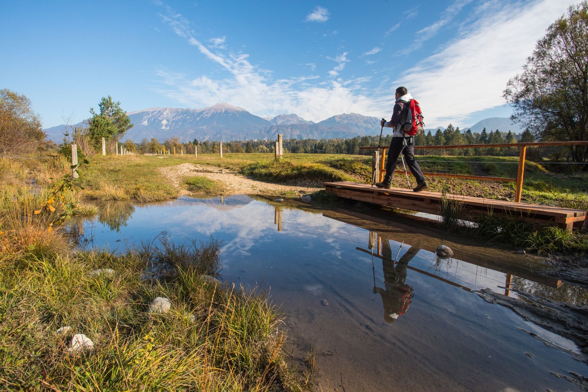
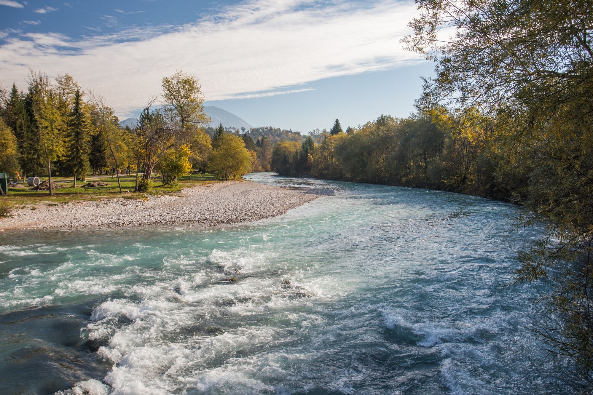
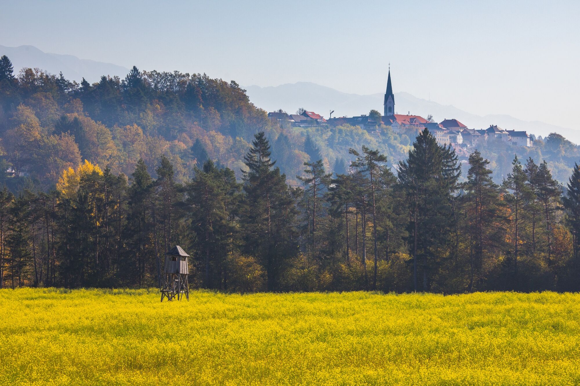
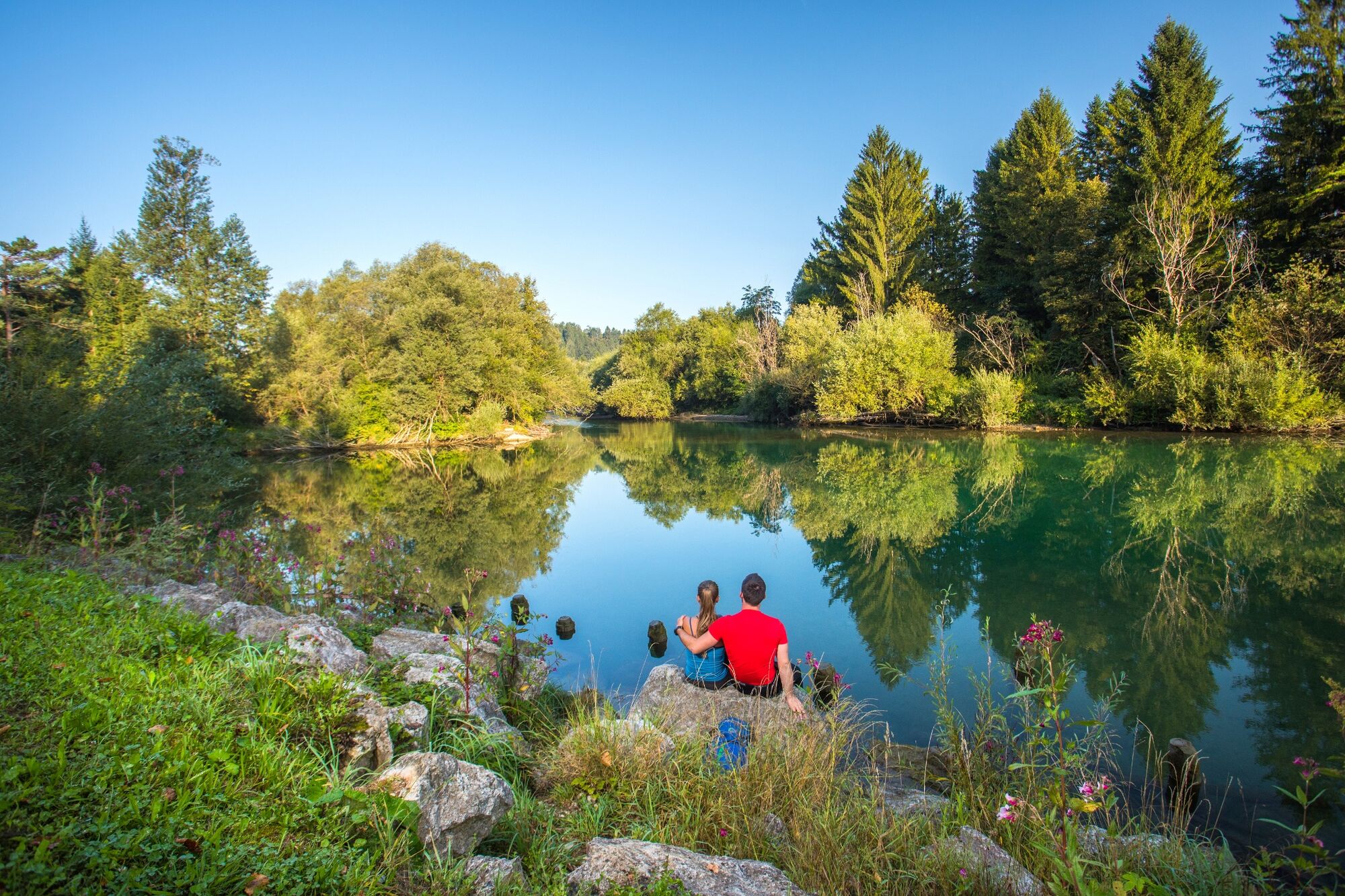
Diverse and rewarding circular walk (popular also with runners and mountain bikers) uncovers the scenic landscape near the confluence of Sava Dolinka and Sava Bohinjka rivers.
- Difficulté
-
facile
- Évaluation
-
- Parcours
-
Radmannsdorf0,3 kmNa Skali5,4 kmLancovo7,3 kmRadmannsdorf8,0 kmGostilna Lectar8,5 km
- Meilleure saison
-
janv.févr.marsavrilmaijuinjuil.aoûtsept.oct.nov.déc.
- Hauteur maximale
- 493 m
- Point de mire
-
Tourist information centre in Radovljica
- Profil en hauteur
-
 © outdooractive.com

- Auteur
-
La randonnée The Three Bridges Trail (Radovljica - Šobec - Lancovo - Radovljica) est utilisé par outdooractive.com fourni par.
GPS Downloads


Informations générales
Point de rassemblement
Culturel/Historiquement
Flore
Prometteur
Autres parcours dans les régions
-
Wörthersee - Rosental
1957
-
Gorenjska
141
-
Radovljica
168