© Turizem Bled - Mojca Odar

© Turizem Bled - Mojca Odar

© Turizem Bled - Mojca Odar

© Turizem Bled - Mojca Odar

© Turizem Bled - Mojca Odar

© Turizem Bled - Mojca Odar

© Turizem Bled - Mojca Odar

© Turizem Bled - Mojca Odar

© Turizem Bled - Atila Armentano

© Turizem Bled - Atila Armentano


- Brève description
-
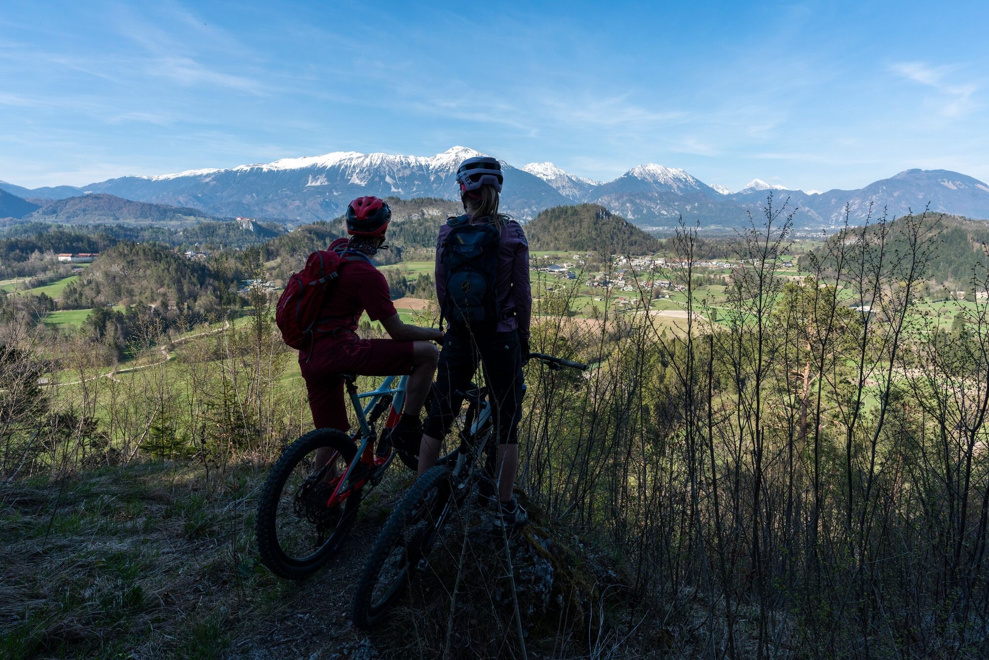
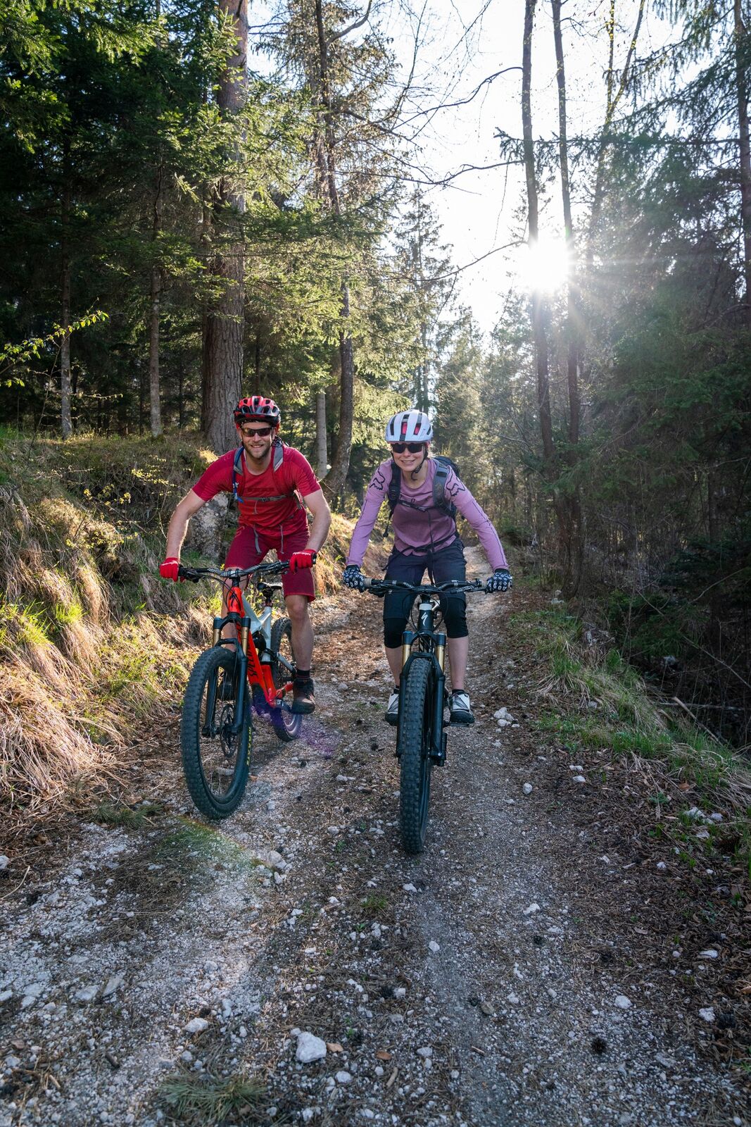
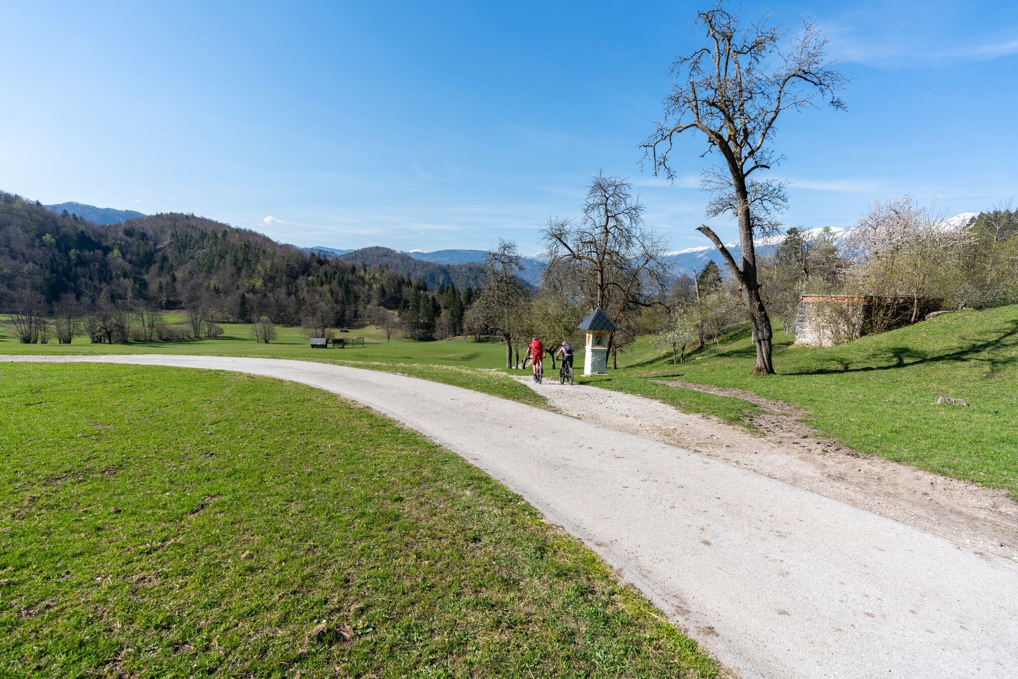
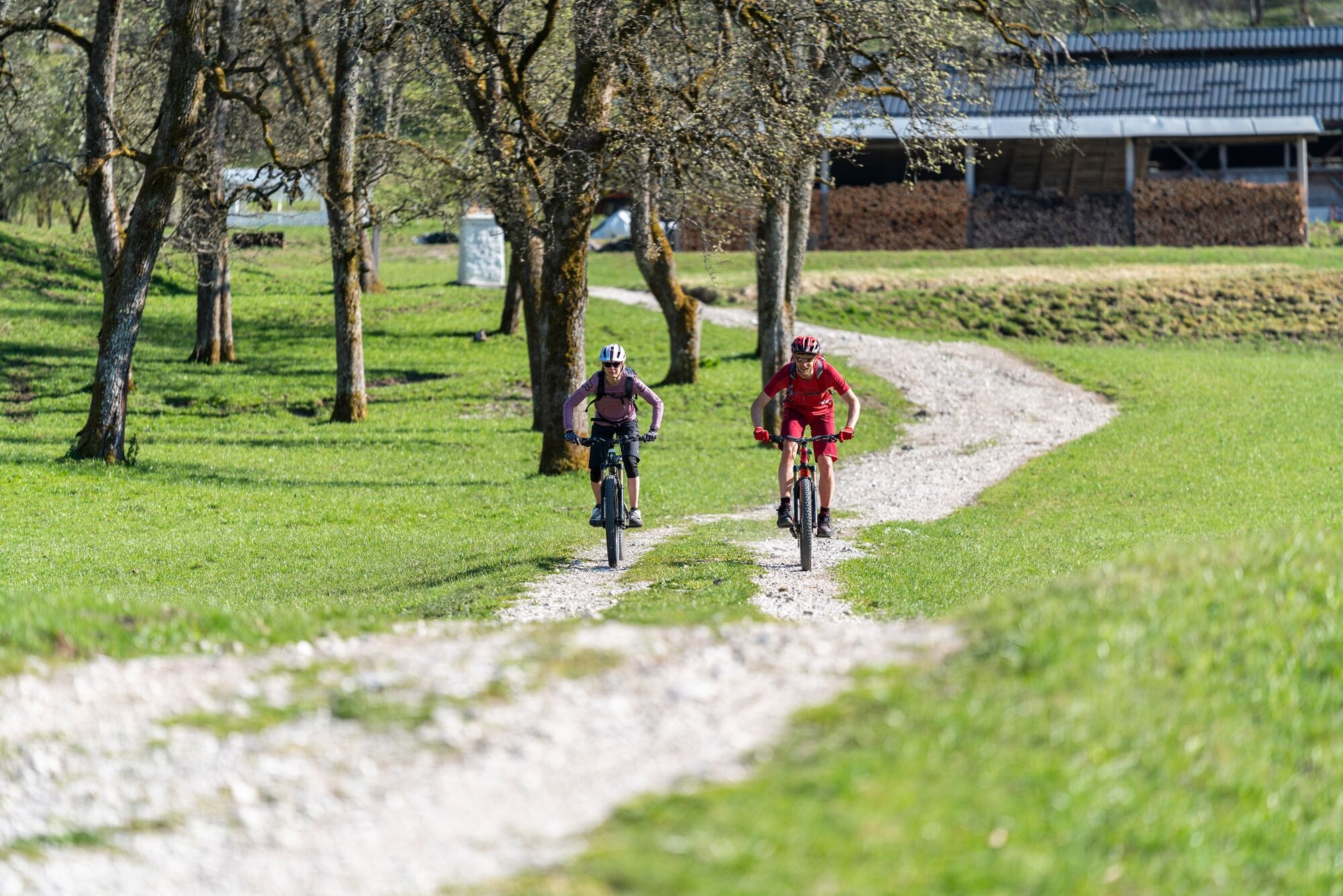
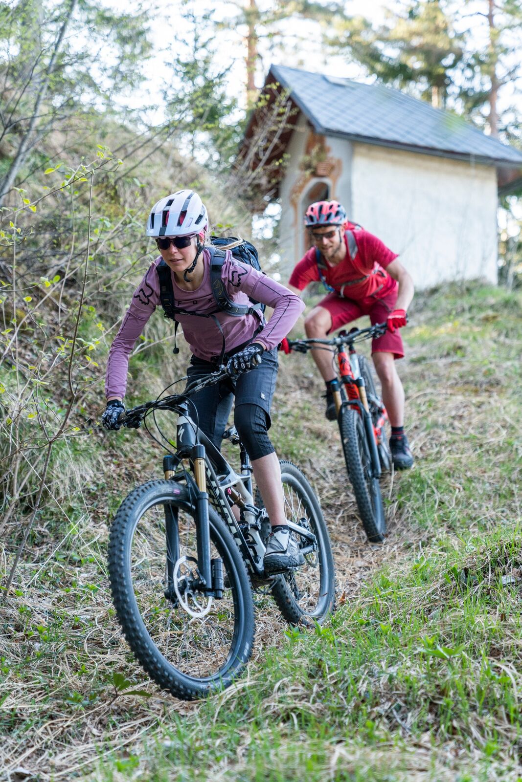
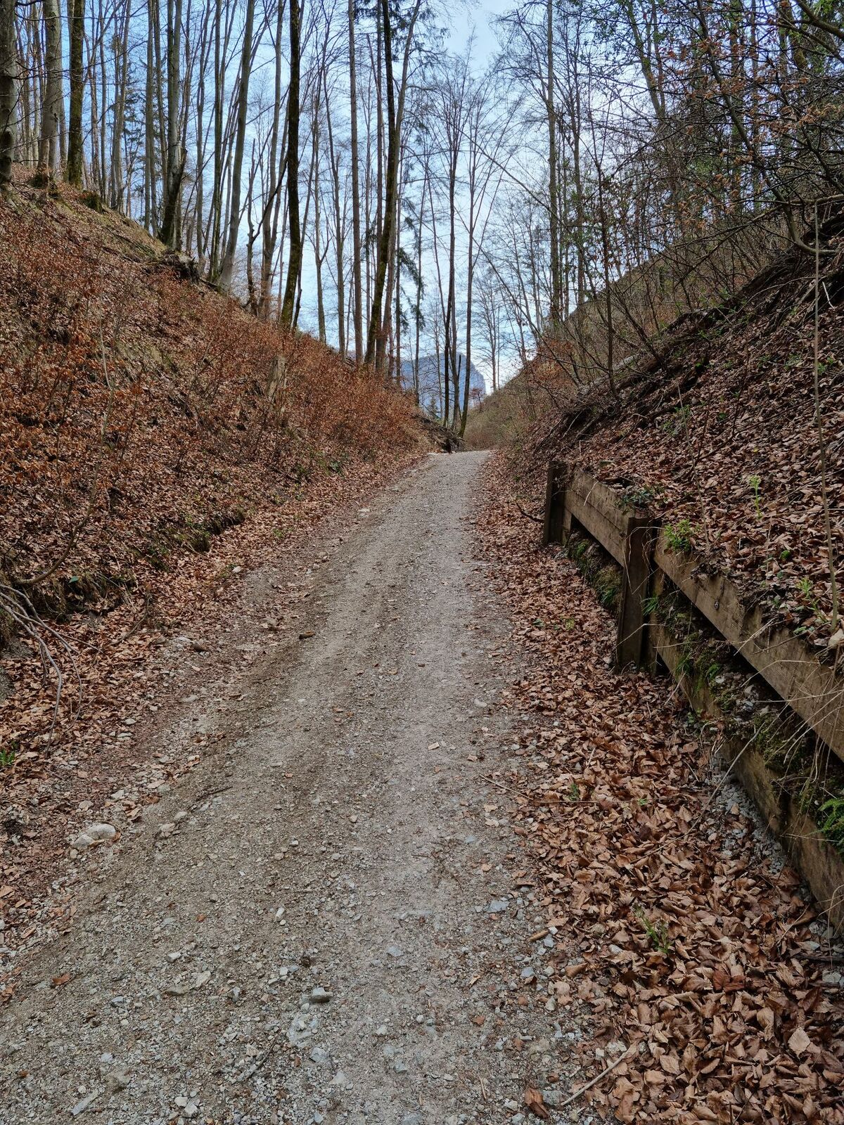
The trip is a combination of the Stoječa veselica long-distance cycling trail and at the end of the “Po lovskih sledeh na Jelovico” cycling trail. It is suitable for an intense morning (or afternoon) mountain biking escape.
- Difficulté
-
difficile
- Évaluation
-
- Parcours
-
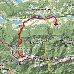
Bled0,8 kmRestavracija Zaka2,9 kmBohinjska Bela6,2 kmKupljenik8,7 kmRibno14,4 kmBled16,7 km
- Meilleure saison
-
janv.févr.marsavrilmaijuinjuil.aoûtsept.oct.nov.déc.
- Hauteur maximale
- 650 m
- Point de mire
-
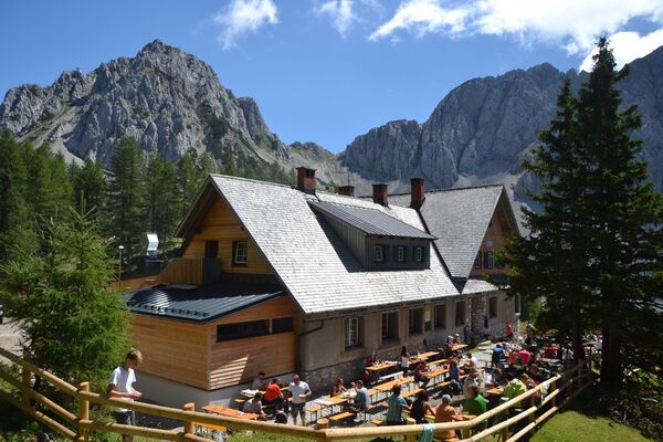
Infocenter Triglavska roža Bled.
- Profil en hauteur
-
 © outdooractive.com


- Auteur
-
La randonnée Stoječa veselica – short-distance est utilisé par outdooractive.com fourni par.
GPS Downloads


Informations générales
Point de rassemblement
Culturel/Historiquement
Secret
Prometteur
Autres parcours dans les régions
-
Wörthersee - Rosental
218
-
Gorenjska
32
-
Bled
32