© Turizem Radovljica - Bor Lampič

© Turizem Radovljica - Sašo Gašperin


- Brève description
-
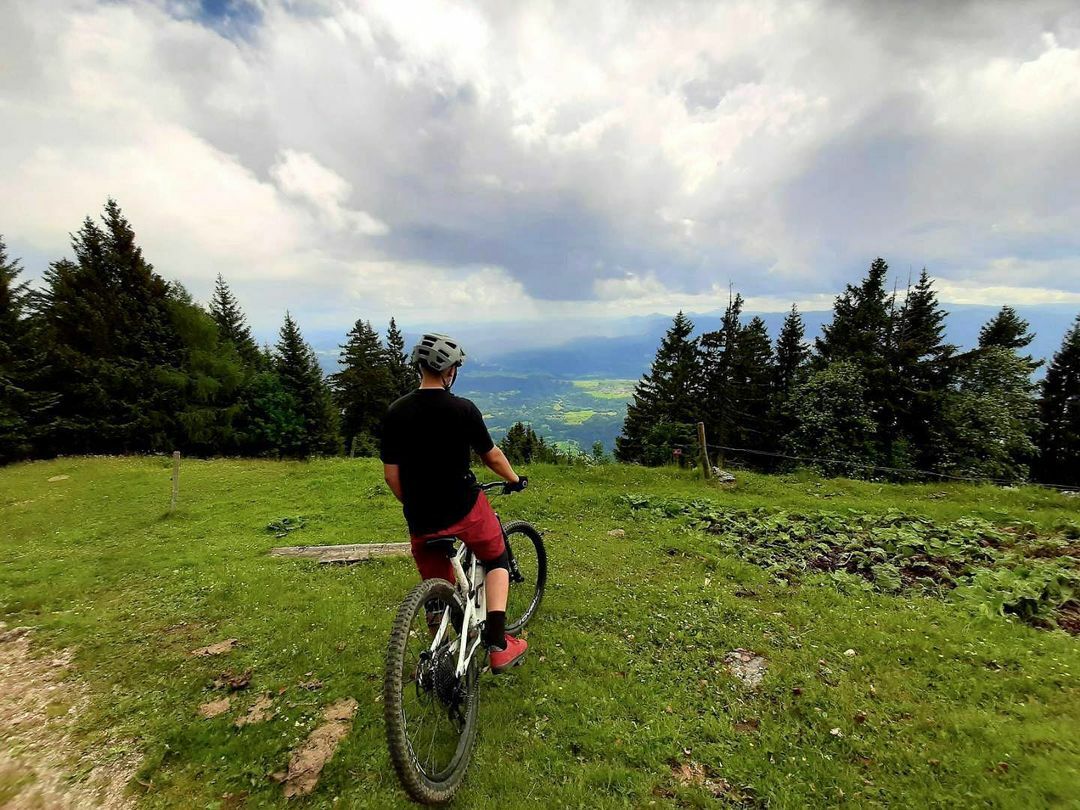
The ascent to Mt. Dobrča, which leads along a forest road, rewards cyclists with excellent views and great food. The icing on the cake is the descent through a chestnut forest.
- Difficulté
-
difficile
- Évaluation
-
- Parcours
-
Gostilna Avsenik0,0 kmPoljče0,1 kmBegunje (577 m)0,2 kmSlatna (638 m)3,0 kmSrednja vas (625 m)3,9 kmZadnja vas (623 m)4,3 kmMlaka4,7 kmPaloviče4,9 kmSlatna (638 m)7,1 kmKoča na Dobrči13,3 kmSlatna (638 m)19,4 kmPaloviče21,6 kmMlaka21,8 kmZadnja vas (623 m)22,0 kmSrednja vas (625 m)22,5 kmSlatna (638 m)23,4 kmZgoša26,6 kmBegunje (577 m)27,3 kmPoljče27,4 kmGostilna Avsenik27,5 km
- Meilleure saison
-
janv.févr.marsavrilmaijuinjuil.aoûtsept.oct.nov.déc.
- Hauteur maximale
- 1.474 m
- Point de mire
-
Tourist information centre Begunje
- Profil en hauteur
-
 © outdooractive.com

- Auteur
-
La randonnée By bike to Mt. Dobrča est utilisé par outdooractive.com fourni par.
GPS Downloads


Informations générales
Point de rassemblement
Prometteur
Autres parcours dans les régions
-
Wörthersee - Rosental
216
-
Gorenjska
32
-
Radovljica
28