


- Brève description
-
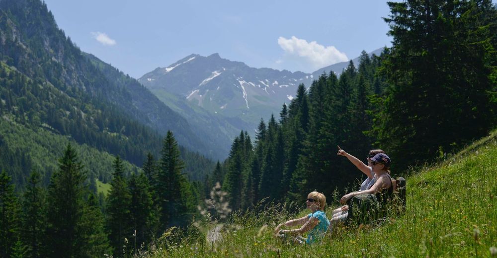
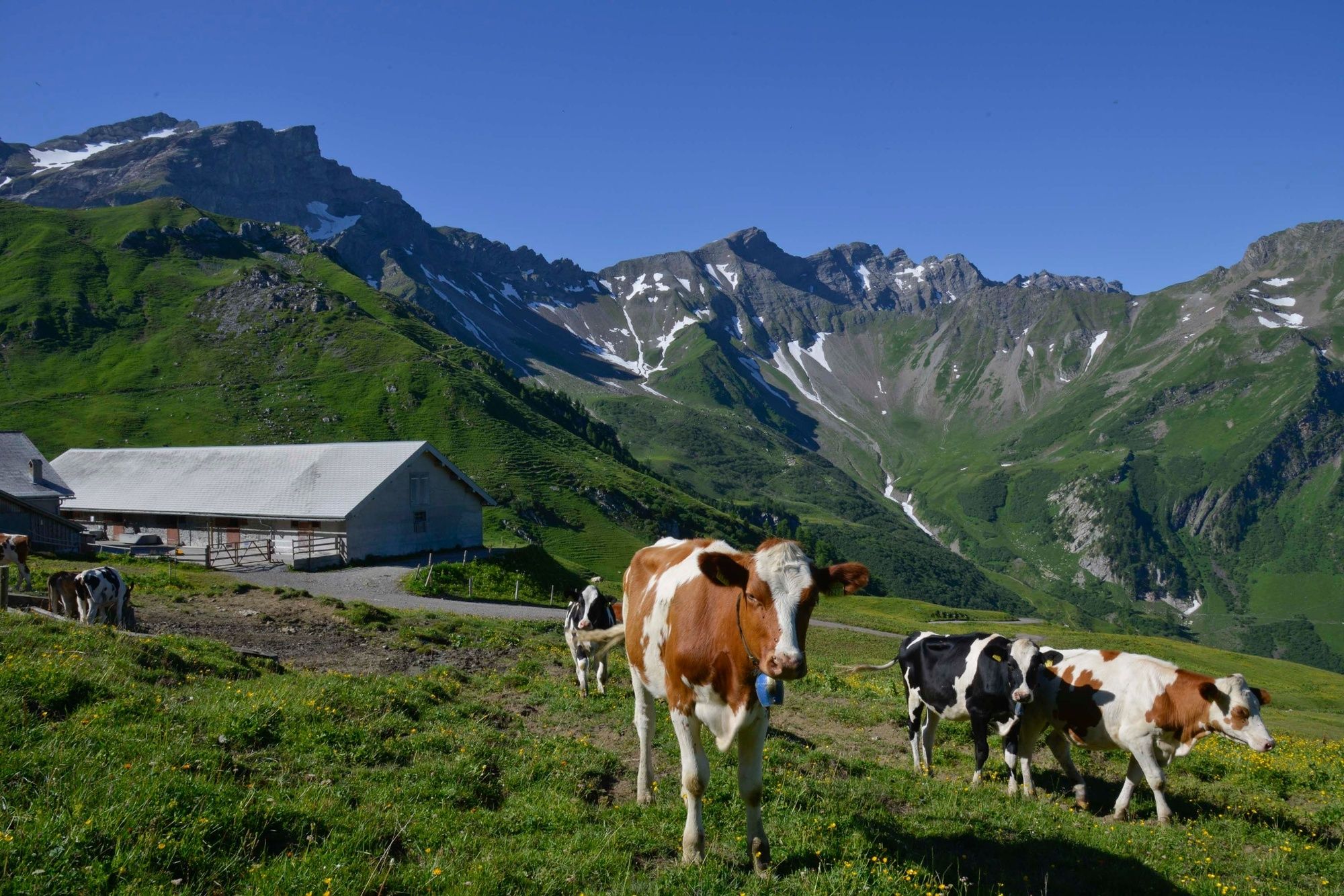
This hike leads along the Valünabach river to the Alp Valüna and on to the Pfälzer hut, the highest building in Liechtenstein. The impressive highlight of the hike is watching the sunrise from the top of the Naafkopf mountain.
- Difficulté
-
difficile
- Évaluation
-
- Parcours
-
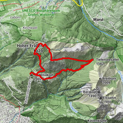
StegValüna2,6 kmAlp Valüna2,6 kmValüna-Säss (1.409 m)2,7 kmGritsch5,1 kmPfälzerhütte6,8 kmNaafkopf (2.571 m)8,8 kmPfälzerhütte10,7 kmGritsch12,4 kmValüna-Säss (1.409 m)16,2 kmAlp Valüna16,3 kmValüna16,3 kmKlotzeck17,0 km
- Meilleure saison
-
janv.févr.marsavrilmaijuinjuil.aoûtsept.oct.nov.déc.
- Hauteur maximale
- 2.543 m
- Point de mire
-
Gängle lake in Steg
- Profil en hauteur
-
 © outdooractive.com


-

-
AuteurLa randonnée Sunrise on the Naafkopf mountain est utilisé par outdooractive.com fourni par.
GPS Downloads


Informations générales
Point de rassemblement
Prometteur
Autres parcours dans les régions
-
Heidiland
2201
-
Bündner Herrschaft
1202
-
Malbun
308