© Liechtenstein Marketing - Paedii Luchs
© Liechtenstein Marketing - Paedii Luchs

© Liechtenstein Marketing - Paedii Luchs

© Fürstentum Liechtenstein

© Liechtenstein Marketing - Paedii Luchs
© Liechtenstein Marketing - Michael Lenz

© Fürstentum Liechtenstein

© Liechtenstein Marketing - Michael Lenz

- Brève description
-
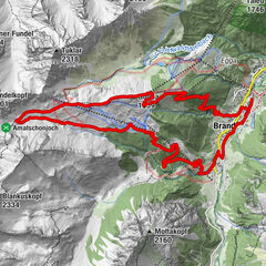
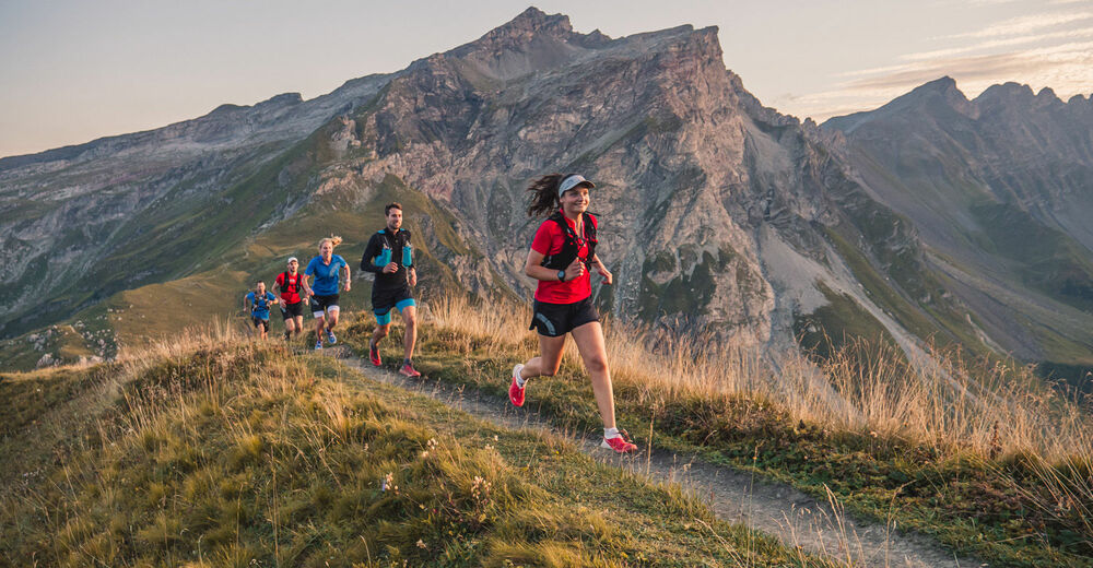
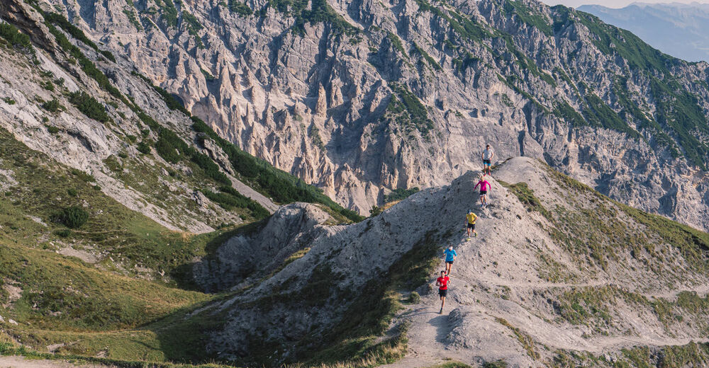
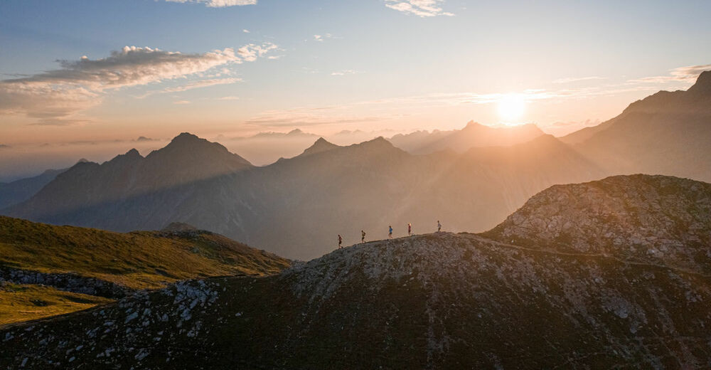
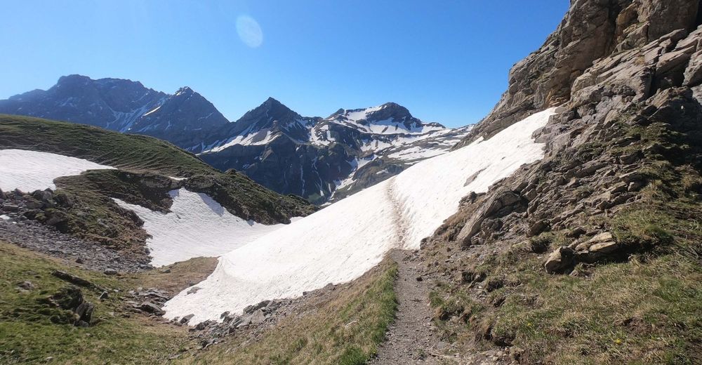
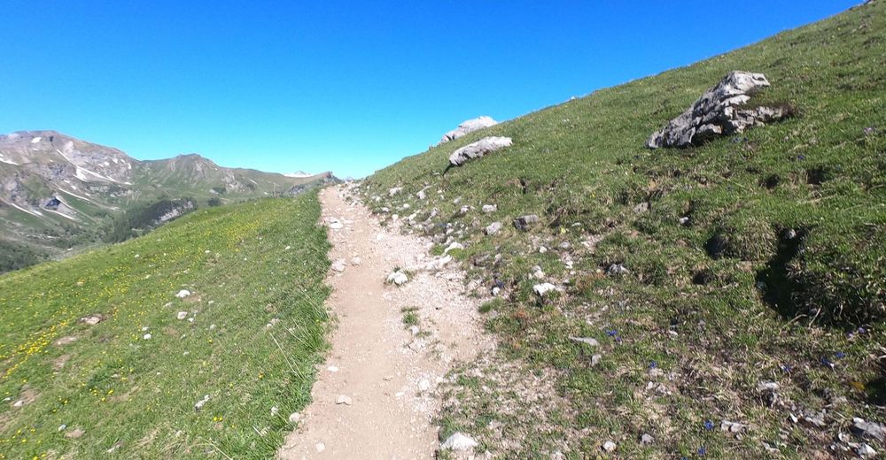
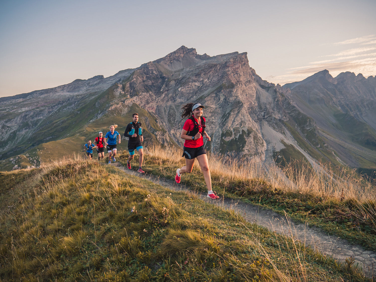
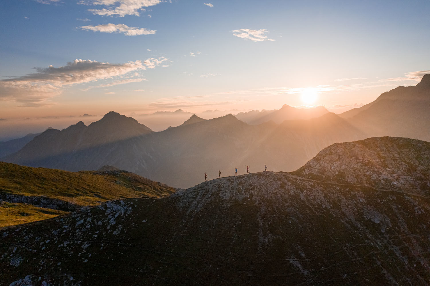
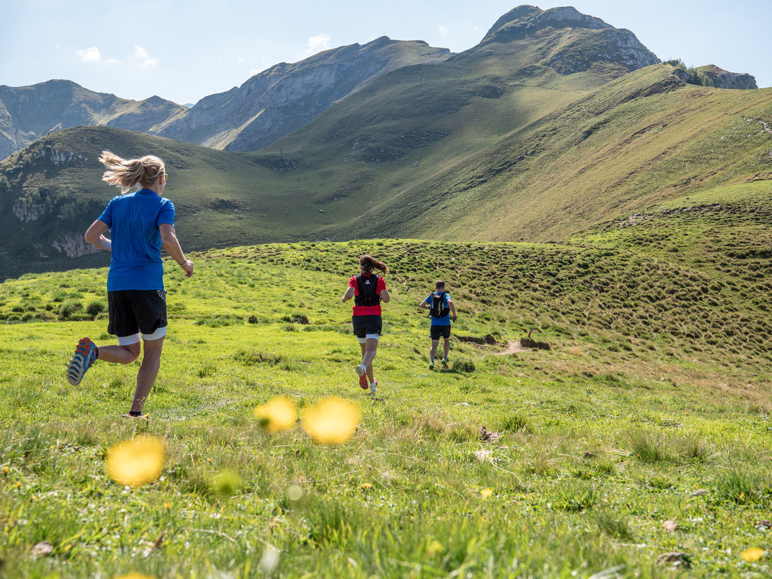
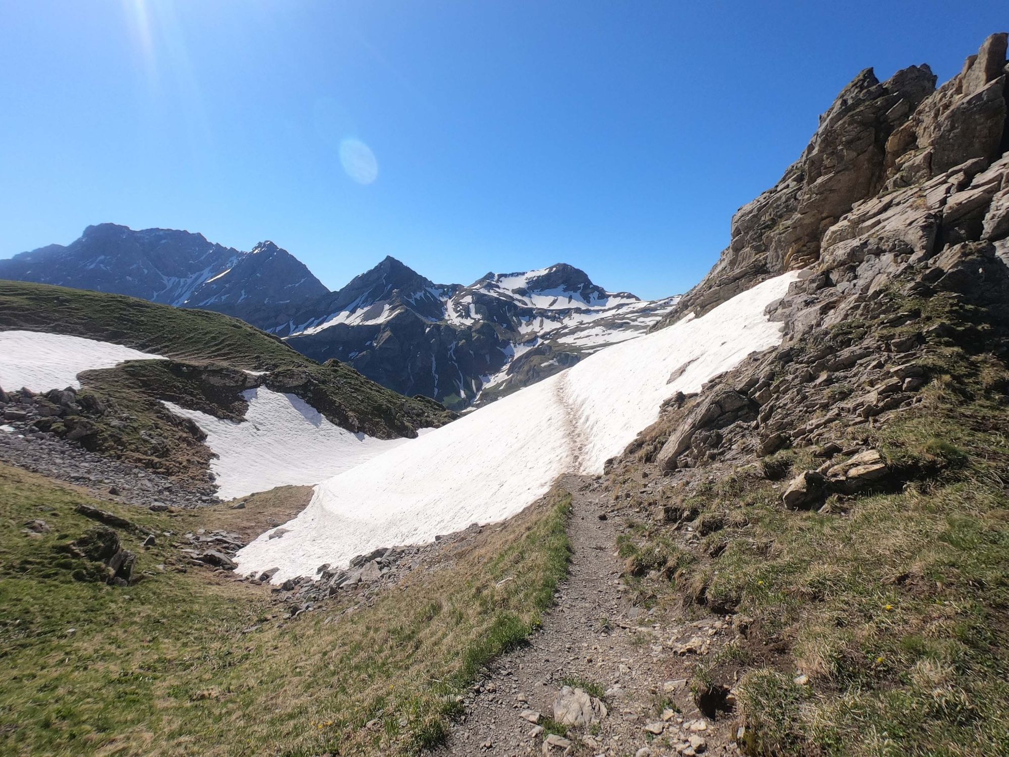
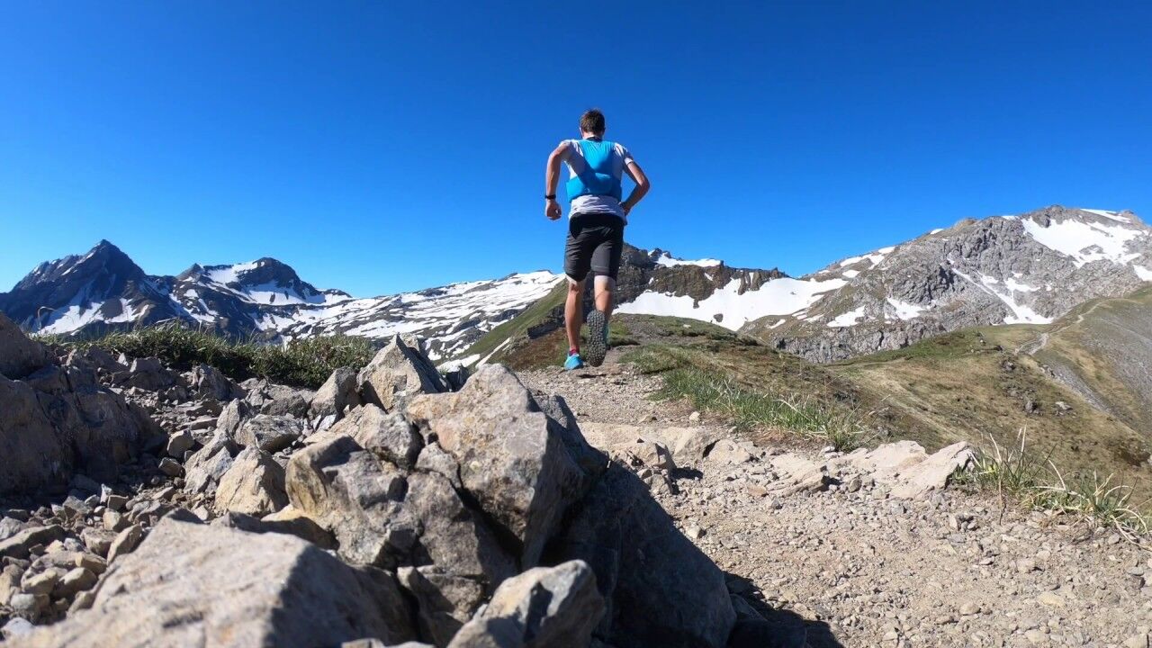
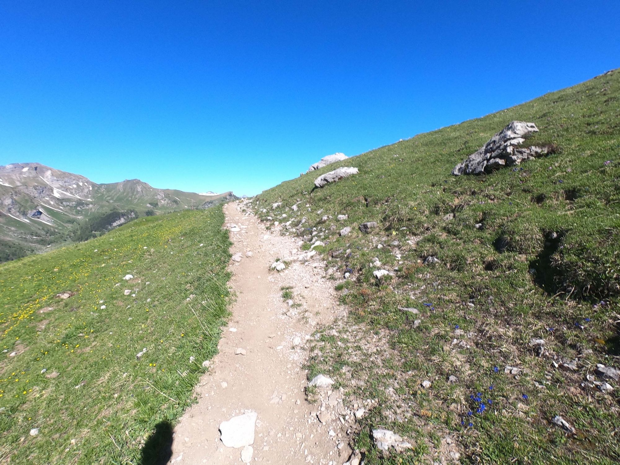
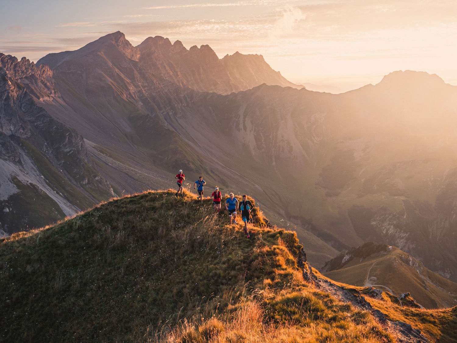
Involving an elevation of 1,000 metres over 14 km, this is a challenging trail run for keen mountain hikers. The Sareis ridge along the border with Austria rewards the hiker with breath-taking views.
- Difficulté
-
moyen
- Évaluation
-
- Parcours
-
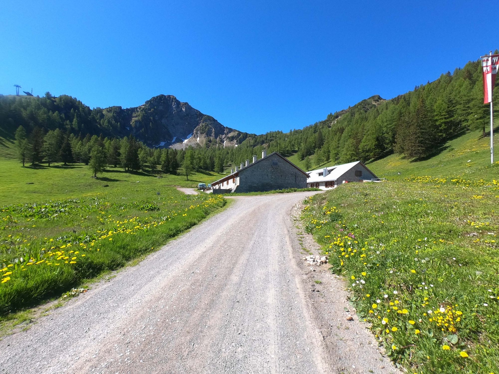
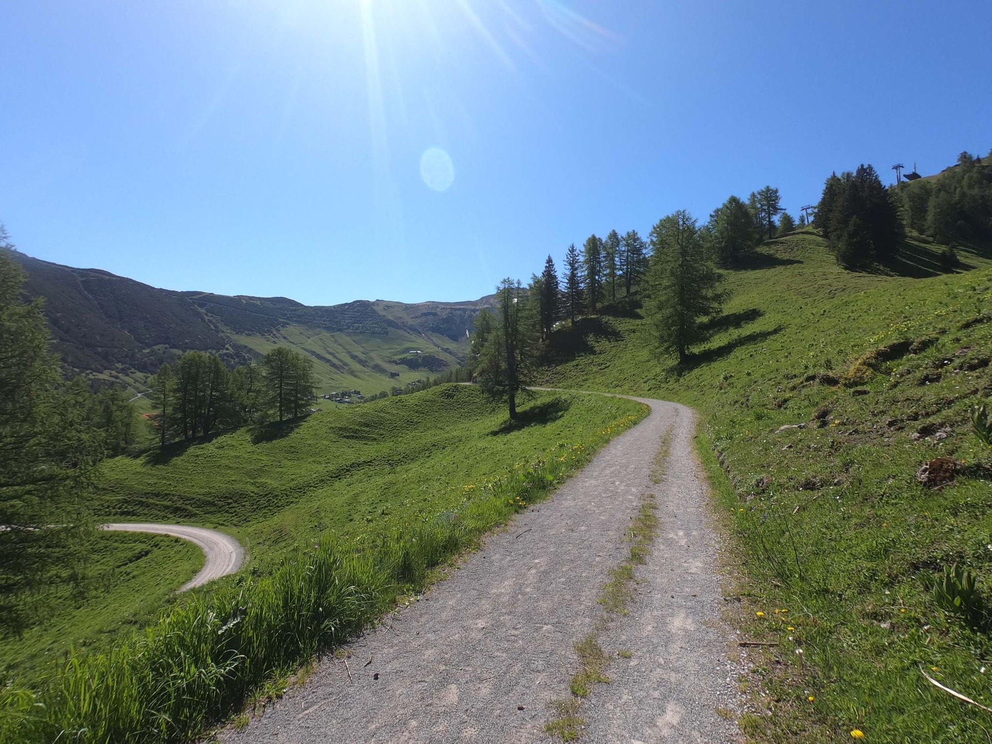
Malbun0,0 kmFriedenskapelle0,2 kmSareis (1.993 m)2,2 kmBergrestaurant Sareis2,3 kmSpitz (2.187 m)4,2 kmAugstenberg (2.359 m)5,6 kmPfälzerhütte7,0 kmMalbun13,6 km
- Meilleure saison
-
janv.févr.marsavrilmaijuinjuil.aoûtsept.oct.nov.déc.
- Hauteur maximale
- 2.352 m
- Point de mire
-
Malbun Center, Malbun
- Profil en hauteur
-
 © outdooractive.com


- Auteur
-
La randonnée Border encounter with peak experience est utilisé par outdooractive.com fourni par.
GPS Downloads


Informations générales
Point de rassemblement
Prometteur
Autres parcours dans les régions
-
Heidiland
104
-
Liechtenstein
46
-
Malbun
21