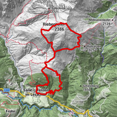
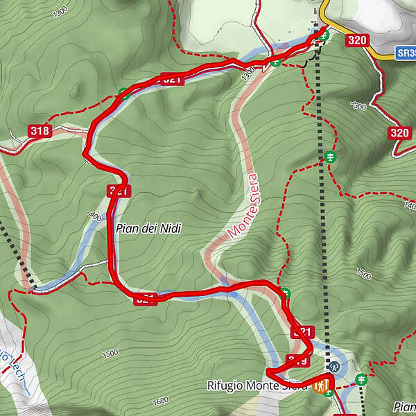
04 TO THE SIERA SHELTER by the tourist ski piste - Sappada

Randonnée

© Piller Hoffer Manuel - © Piller Hoffer Manuel

© Piller Hoffer Manuel - © Piller Hoffer Manuel

© Piller Hoffer Manuel - © Piller Hoffer Manuel

- Brève description
-
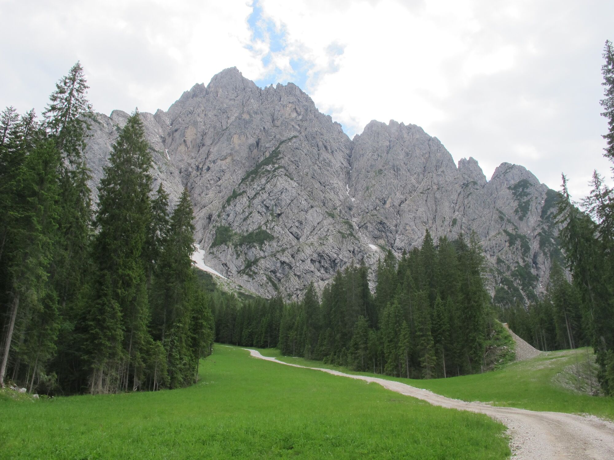
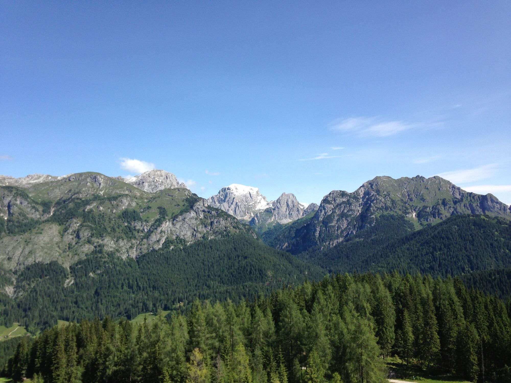
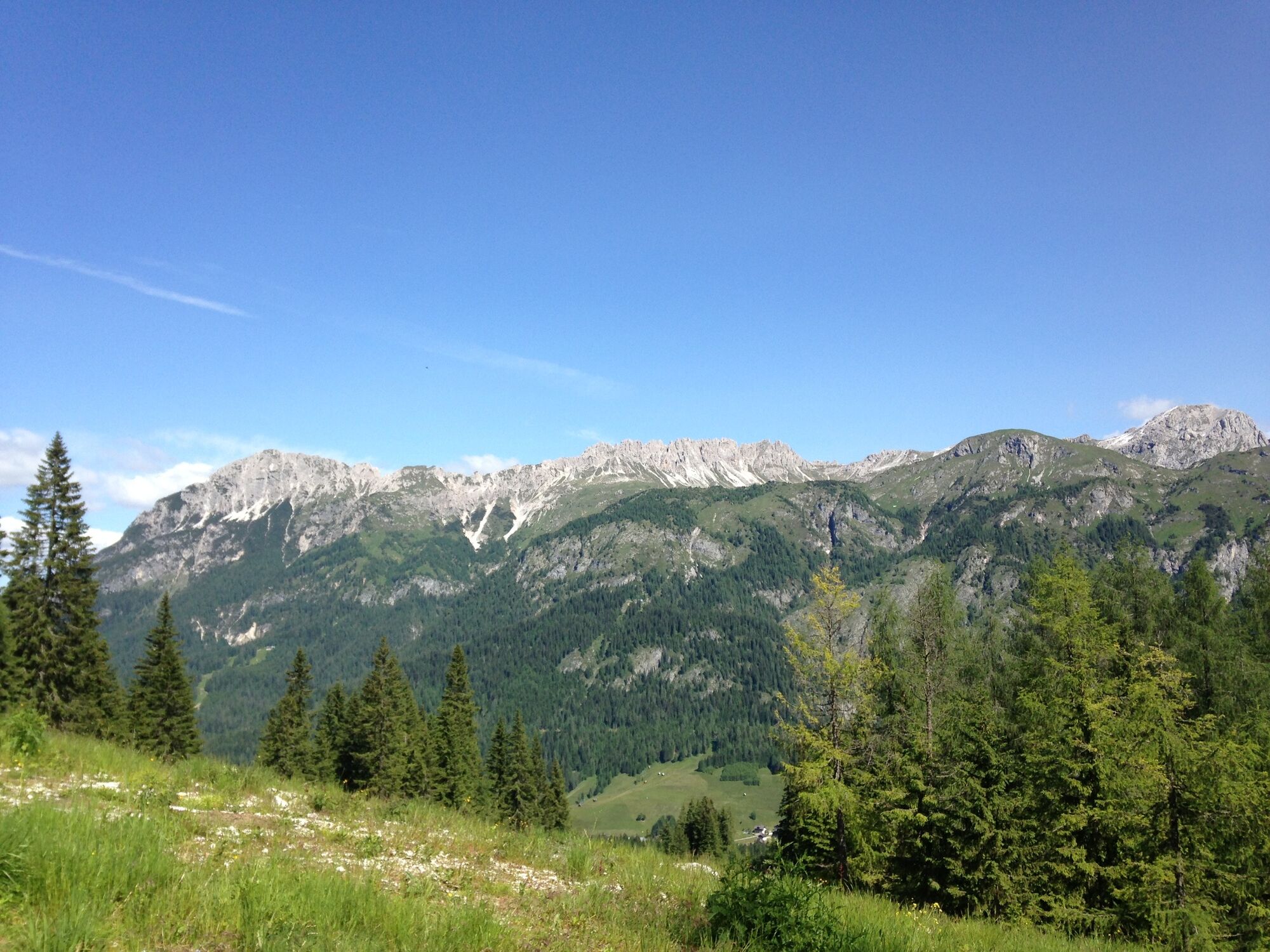
The shelter lies in a very panoramic position on the northern edge of the Pian dei Larici, alongside the upper chairlift station.Behind lie the imposing rock profiles of the Siera Spitz, the Piccolo Siera and the Cima Dieci.
- Difficulté
-
facile
- Évaluation
-
- Parcours
-
Rifugio Monte Siera2,5 kmMonte Siera2,6 km
- Meilleure saison
-
janv.févr.marsavrilmaijuinjuil.aoûtsept.oct.nov.déc.
- Hauteur maximale
- 1.610 m
- Point de mire
-
Rifugio Siera
- Profil en hauteur
-
 © outdooractive.com
-

-
AuteurLa randonnée 04 TO THE SIERA SHELTER by the tourist ski piste - Sappada est utilisé par outdooractive.com fourni par.
GPS Downloads


Autres parcours dans les régions