- Brève description
-
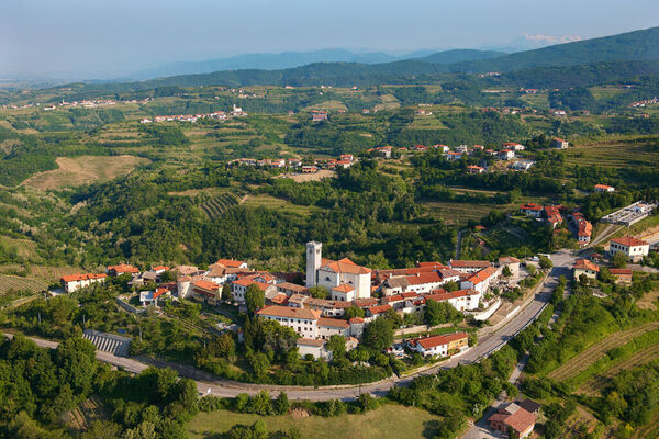
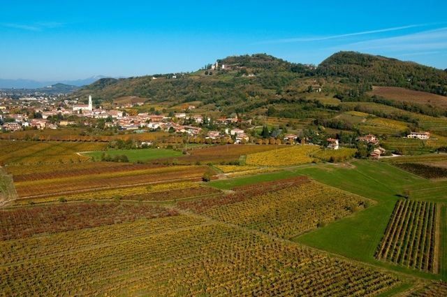
The hilly region of the “Collio Goriziano” is famous for its DOC wines. From the highest hilltops of the charming landscape along this stage you will catch sight of the summits of the nearby Julian Alps, and further in the distance the Dolomites. The “Laghetti rossi” nature conservation park is home to an interesting variety of water birds.
- Difficulté
-
facile
- Évaluation
-
- Parcours
-
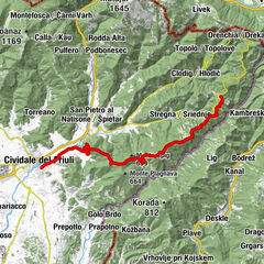
KremaunMonte1,3 kmColle di San Lorenzo (102 m)7,6 kmSan Lorenzo Isontino9,3 kmTrattoria Agli Antenati9,3 kmChiesa di San Lorenzo Martire9,4 kmVillanova di Farra11,2 kmAi Cedri11,2 kmGrotta (33 m)13,2 kmTrattoria Al Mulino15,1 kmFarra d'Isonzo15,6 kmChiesa di Santo Spirito18,5 kmParco della Rotonda18,8 kmChiesa della Beata Vergine Addolorata19,0 kmCappella di San Giovanni Battist19,2 kmGradisca d'Isonzo19,3 km
- Meilleure saison
-
janv.févr.marsavrilmaijuinjuil.aoûtsept.oct.nov.déc.
- Hauteur maximale
- 125 m
- Point de mire
-
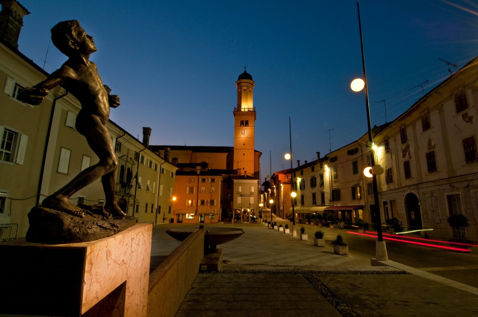
Gradisca d’Isonzo
- Profil en hauteur
-
 © outdooractive.com
- Auteur
-
La randonnée ST32 AAT: Cormons - Gradisca est utilisé par outdooractive.com fourni par.
GPS Downloads


Autres parcours dans les régions
-
Friaul Julisch Venetien
139
-
Görz / Collio
77
-
Nova Gorica
26