ST28 AAT: Tribil di Sopra (Stregna) - Cividale

Chemin de Grande Randonnée

© Alpe-Adria-Trail - Alexandra Rieger

© Alpe-Adria-Trail - Alexandra Rieger

© Alpe-Adria-Trail - Alexandra Rieger

© Alpe-Adria-Trail - Alexandra Rieger

- Brève description
-
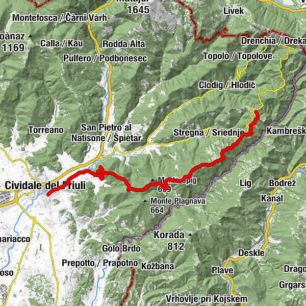
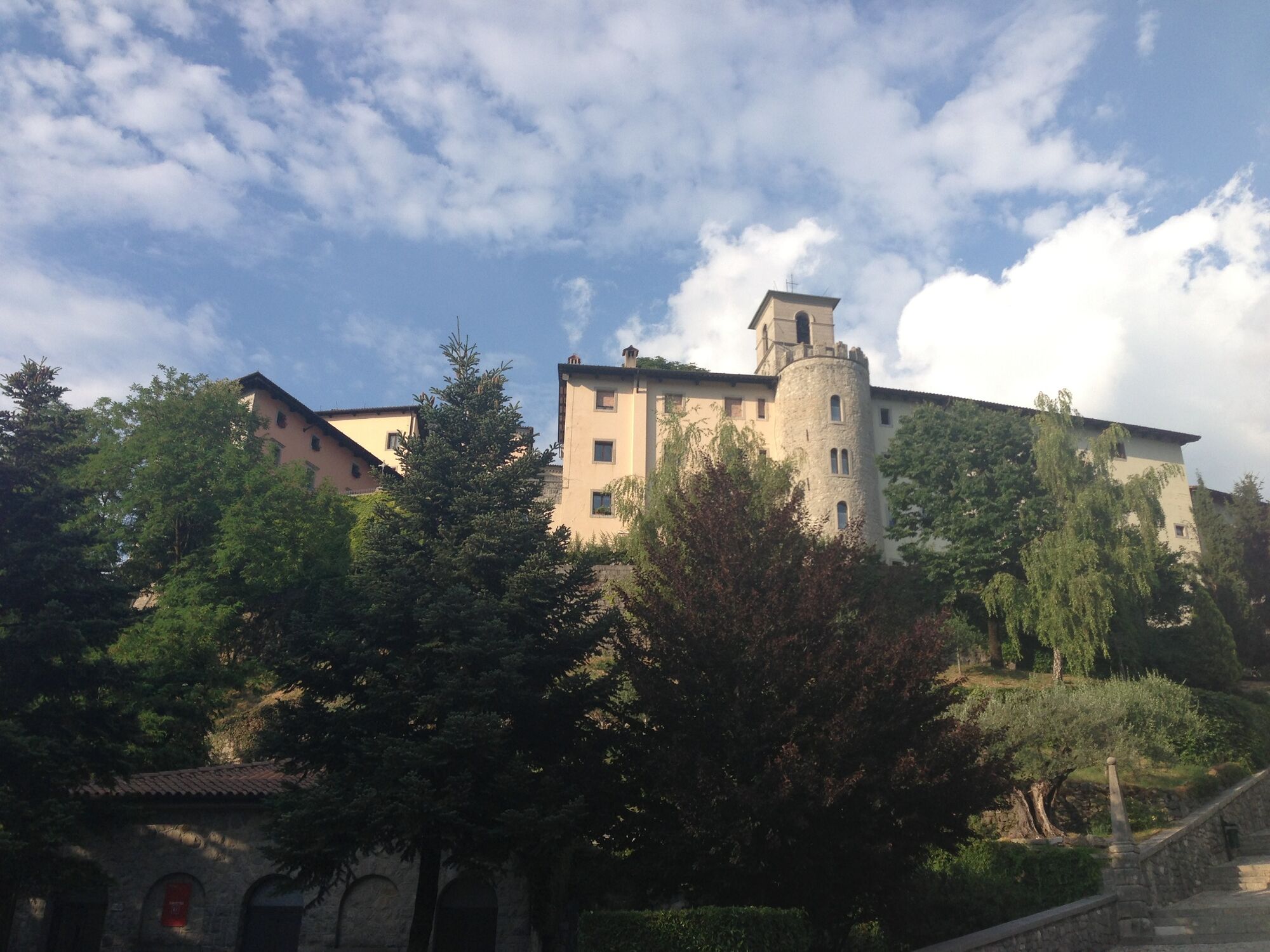
This stage goes uphill and downhill through chestnut woods and across old pasture land, and finally reaches Castelmonte, a pilgrimage destination with a shrine to the Virgin Mary. From here the trail leads steadily downhill into the town of Cividale del Friuli. The route is suitable for everyone, especially culture lovers, and presents no technical difficulties, but it should not be underestimated as it takes around six hours.
- Difficulté
-
moyen
- Évaluation
-
- Parcours
-
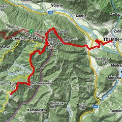
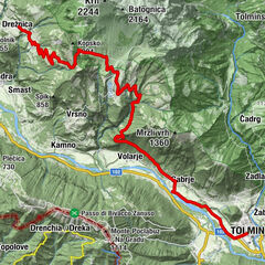
Tribil Superiore0,0 kmGnidovizza1,2 kmClinaz2,3 kmMonte Rive (616 m)3,1 kmVarch3,4 kmUrataca3,8 kmColle Cereverco (598 m)4,1 kmMonte San Nicolò (719 m)9,2 kmCastelmonte13,2 kmBar Ristorante Al Piazzale13,3 kmL'Osteria di...13,3 kmCasa Moldiaria14,5 kmPurgessimo19,8 kmSanguarzo21,1 kmAncona21,2 kmMadriolo22,2 kmBorgo Brossana23,3 kmÖstrich23,8 kmBorgo di Ponte23,9 km
- Meilleure saison
-
janv.févr.marsavrilmaijuinjuil.aoûtsept.oct.nov.déc.
- Hauteur maximale
- 701 m
- Point de mire
-
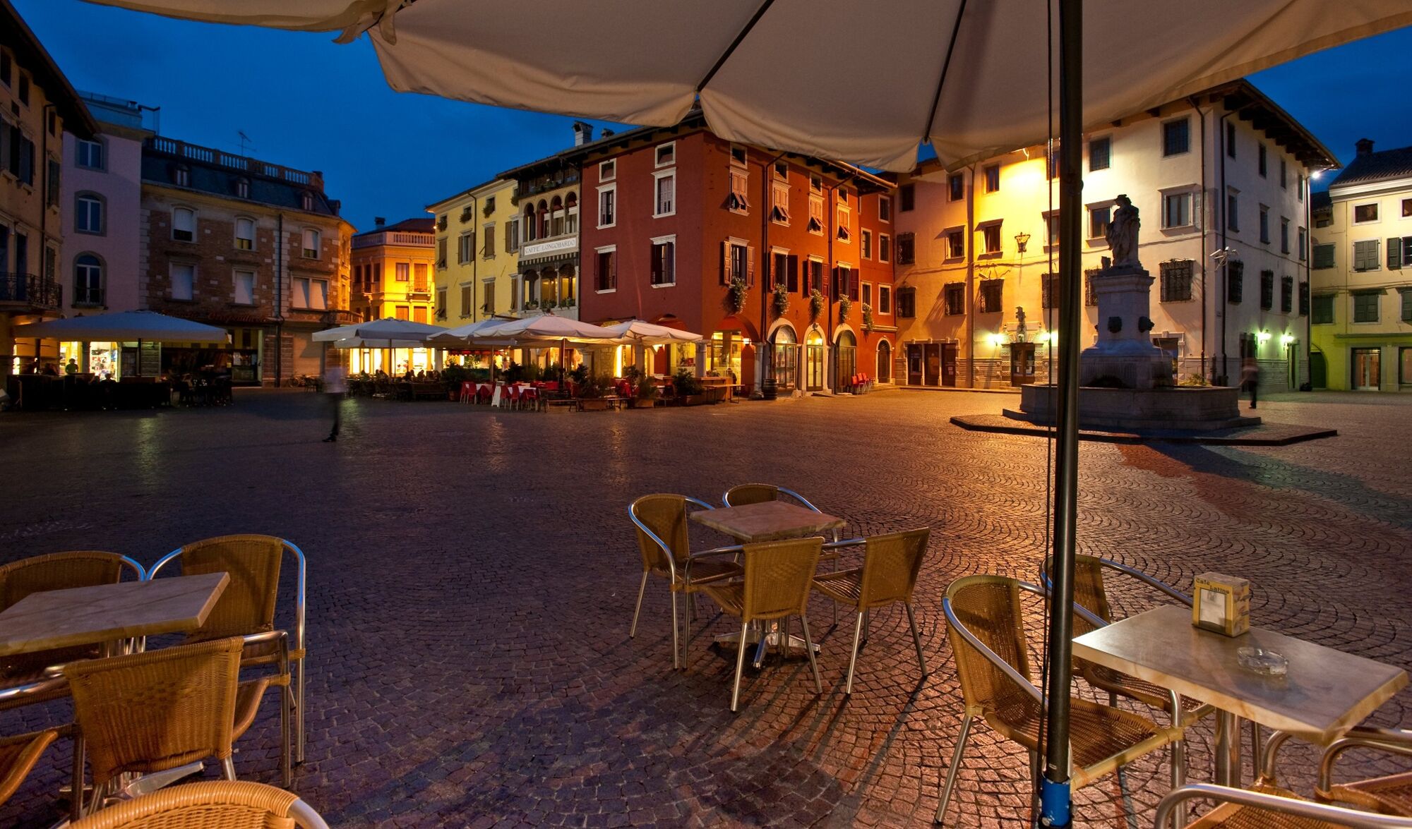
Cividale del Friuli
- Profil en hauteur
-
 © outdooractive.com


- Auteur
-
La randonnée ST28 AAT: Tribil di Sopra (Stregna) - Cividale est utilisé par outdooractive.com fourni par.
GPS Downloads


Autres parcours dans les régions