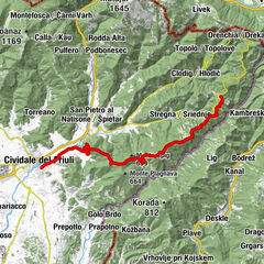
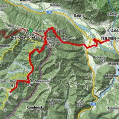
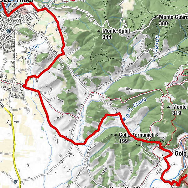
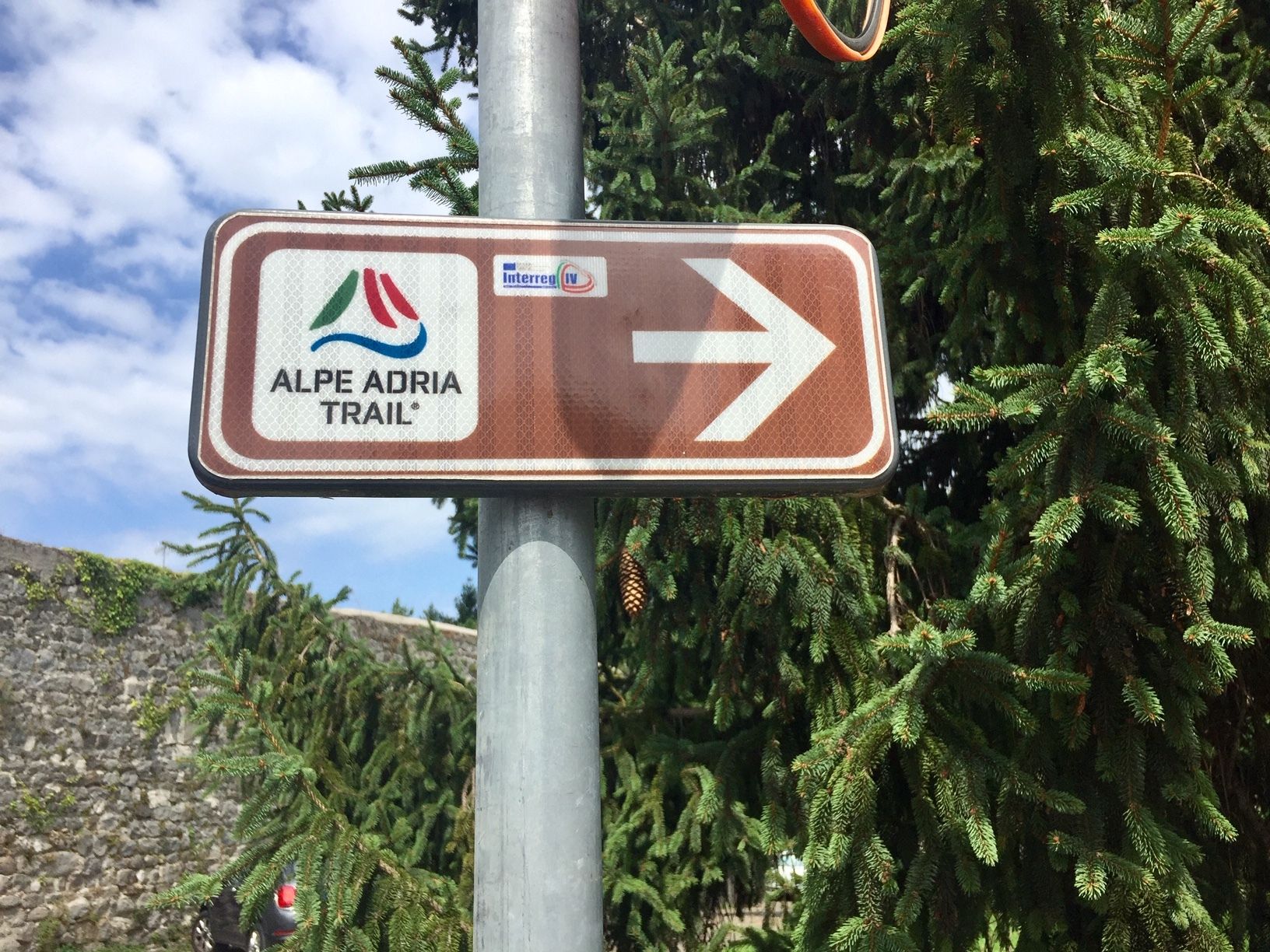
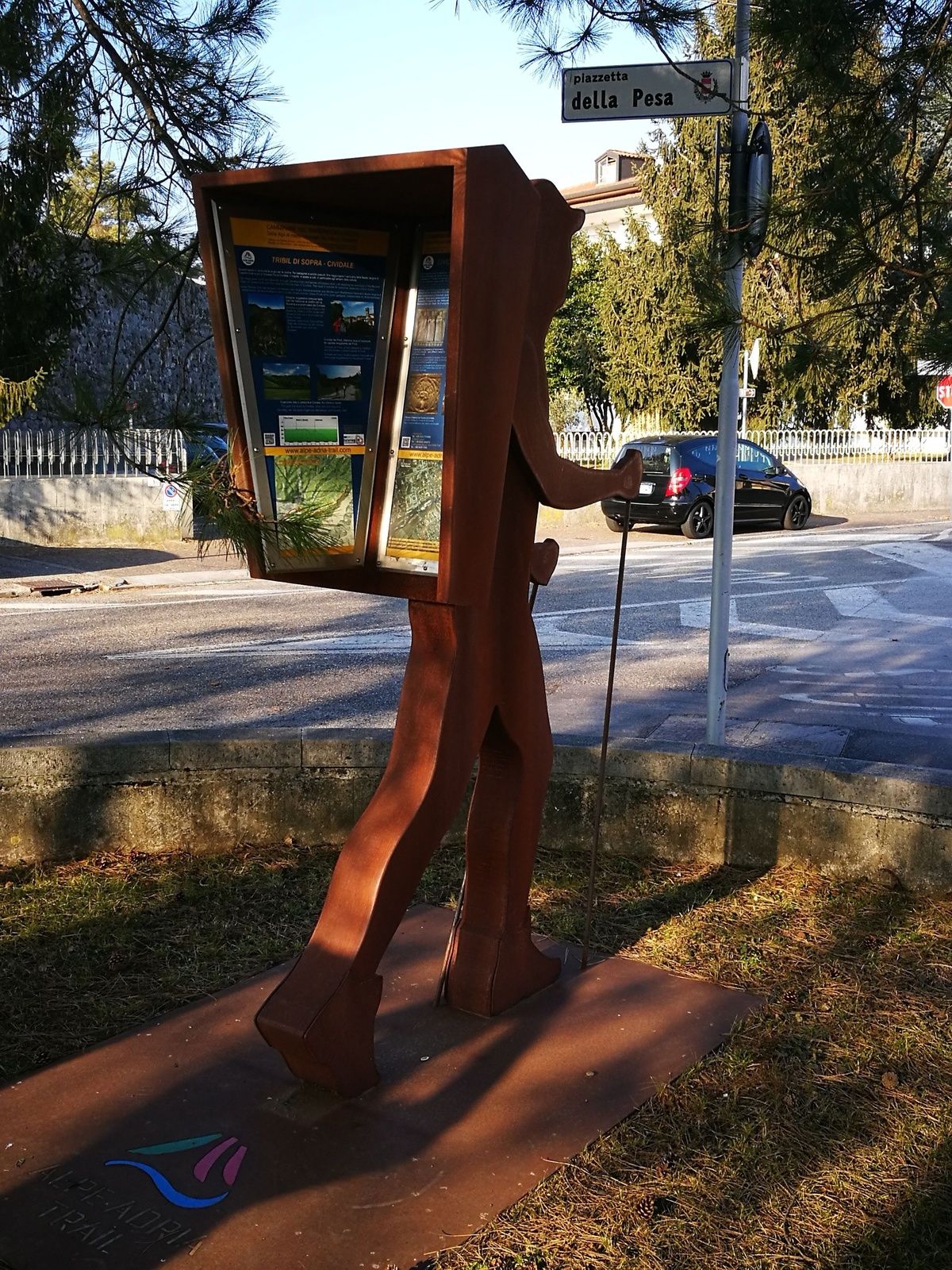
ST29 AAT: Cividale - Breg bei Golo Brdo

Chemin de Grande Randonnée

© Alpe-Adria-Trail - Alexandra Rieger

© Turismo FVG

© Alpe-Adria-Trail - Alexandra Rieger

© Alpe-Adria-Trail - Sara Ehrlich

© Alpe-Adria-Trail - Sara Ehrlich

© Alpe-Adria-Trail - Alexandra Rieger

© Alpe-Adria-Trail - Alexandra Rieger

- Brève description
-
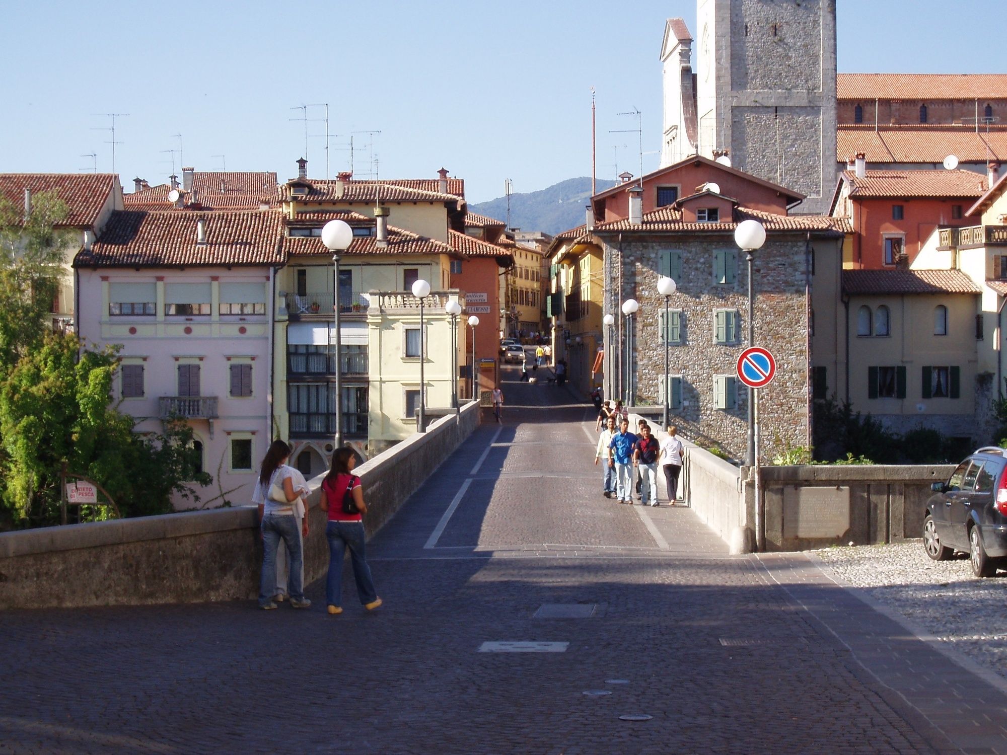
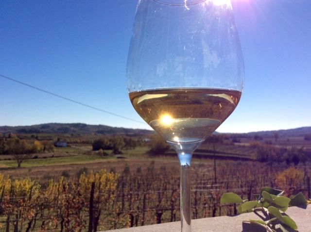
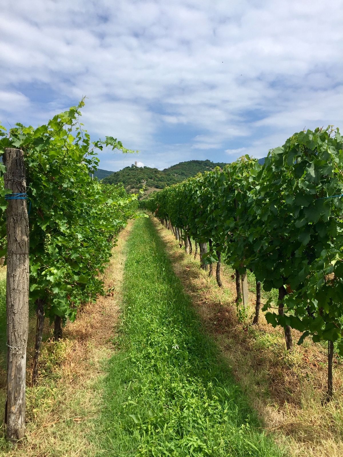
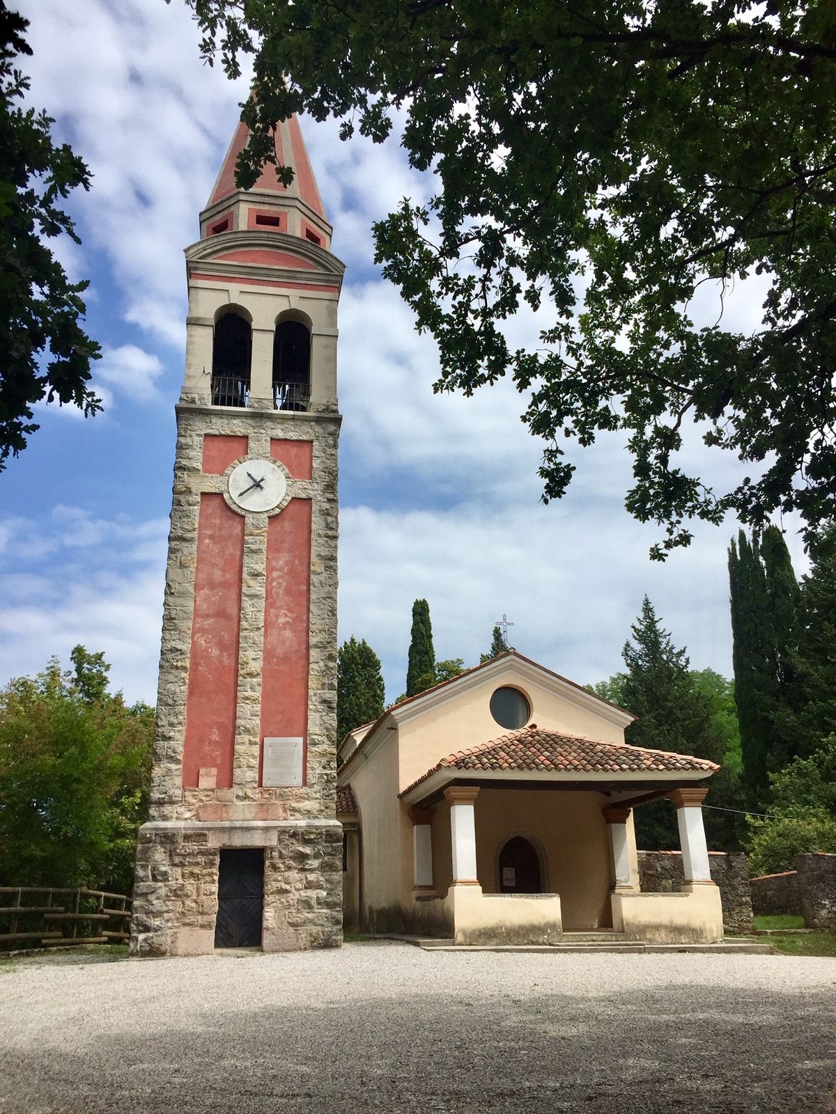
This Italian-slovenian Tour goes through the hills of the " Colli Orientali del Friuli", the harmonious landscape of Albana di Prepotto and also through the magical scenery of the Region Brda. Unmistakeble nature with magical power and a beautiful view on the sea and on Friuli.
- Difficulté
-
facile
- Évaluation
-
- Parcours
-
ÖstrichDuomo di Santa Maria Assunta0,0 kmBorgo di Ponte0,2 kmBorgo Brossana0,9 kmCarraria1,5 kmOrsone Ristorante e B&B3,9 kmBucovizza9,0 kmCenta10,6 kmCollobrida11,0 kmAlbana11,3 kmMernico / Mirnik (100 m)12,3 kmGrotta presso Mernico12,4 kmTuristična kmetija Breg13,0 km
- Meilleure saison
-
janv.févr.marsavrilmaijuinjuil.aoûtsept.oct.nov.déc.
- Hauteur maximale
- 198 m
- Point de mire
-
Breg pri Golem Brdu
- Profil en hauteur
-
 © outdooractive.com

- Auteur
-
La randonnée ST29 AAT: Cividale - Breg bei Golo Brdo est utilisé par outdooractive.com fourni par.
GPS Downloads


Autres parcours dans les régions