Via Dinarica BH-W-00 Rosni Dolac-Kamešnica-Podgradina

Randonnée

© http://planinarenje.hr/
© http://planinarenje.hr/
© http://planinarenje.hr/
© http://planinarenje.hr/
© http://planinarenje.hr/
© http://planinarenje.hr/
© http://planinarenje.hr/
© http://planinarenje.hr/
© http://planinarenje.hr/
© http://planinarenje.hr/

- Brève description
-
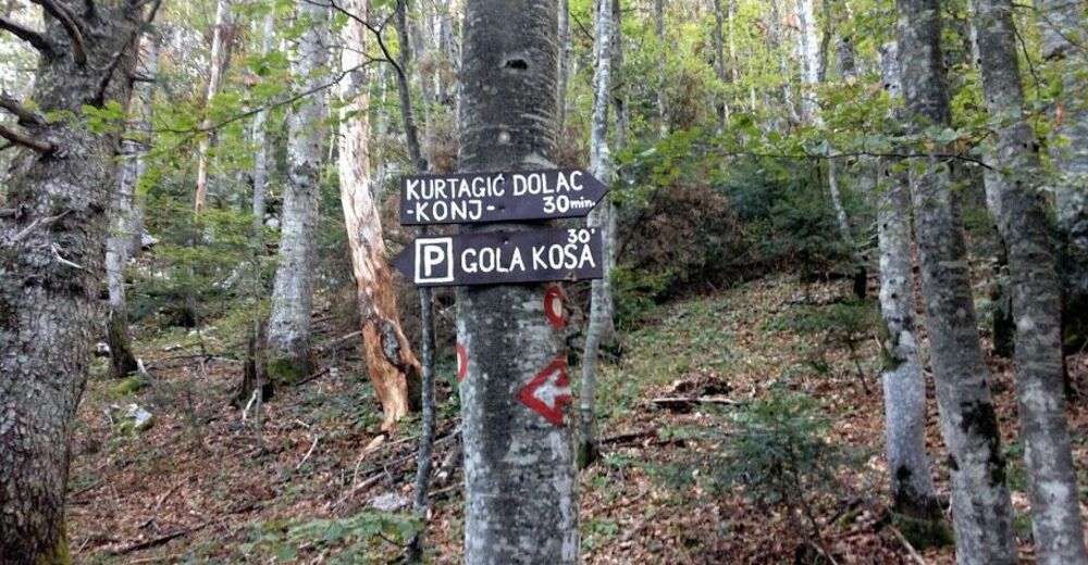
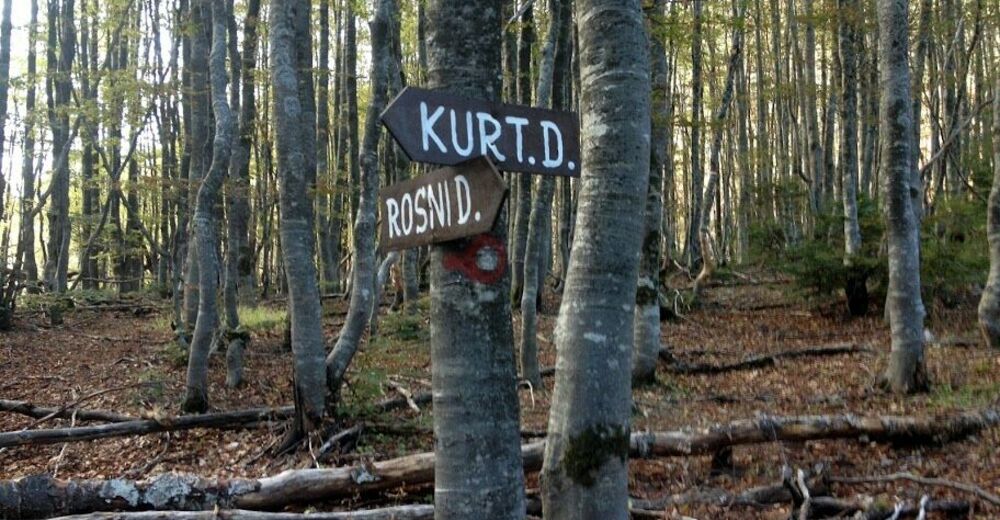
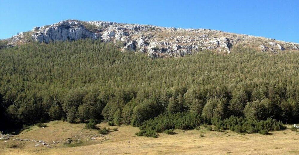
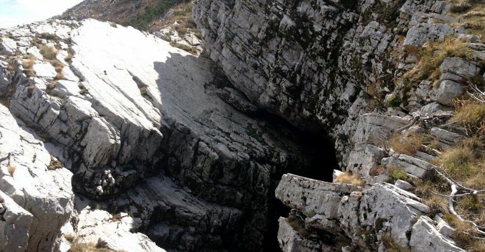
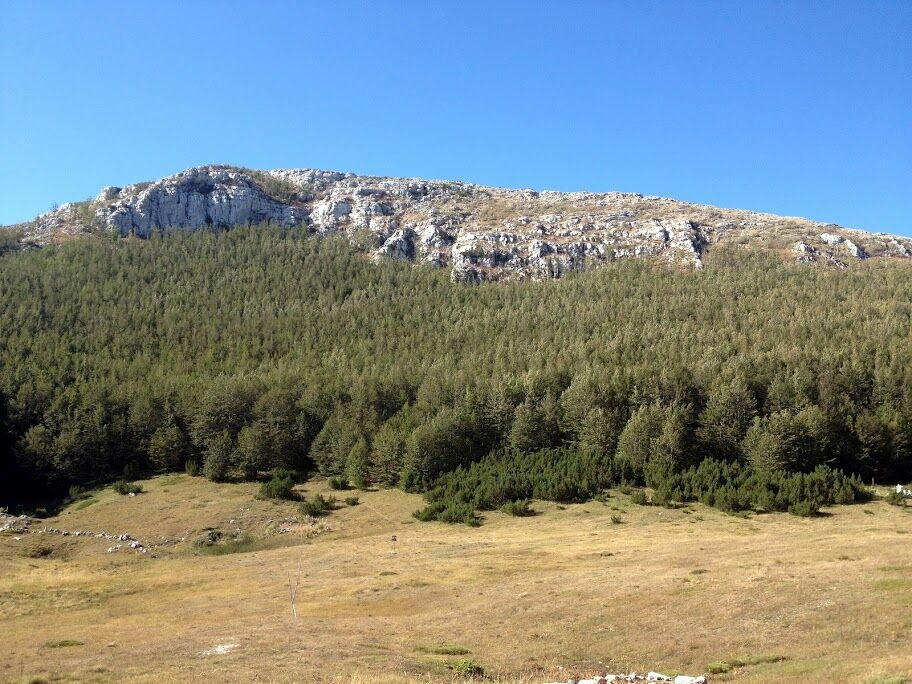
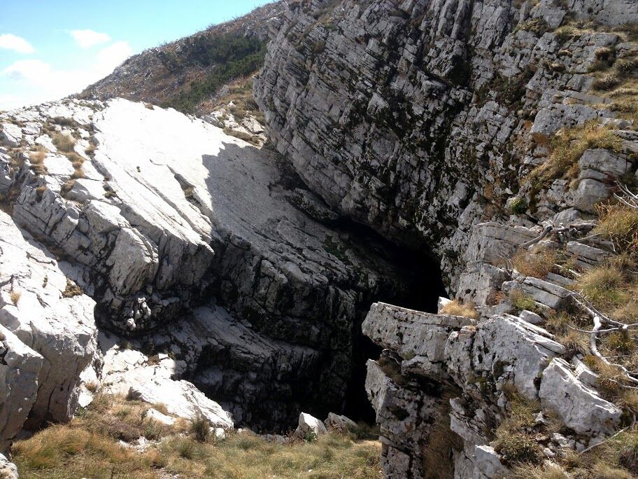
Kurtagića Dolac is one of the most beautiful valleys on Kamešnica Mt. It is located at 1460 MASL, just between the peaks of Planinica (1612 MASL), Kolebajka (1535 MASL) and Trovrsi (1645 MASL). Kurtagića Dolac is only accessible through a narrow passage towards the northeast, which makes it magically hidden. The mountain meadow (or dolac in local language) is 350m long and 150m wide. It is surrounded mainly by thick beech and fir trees.
- Difficulté
-
moyen
- Évaluation
-
- Parcours
-
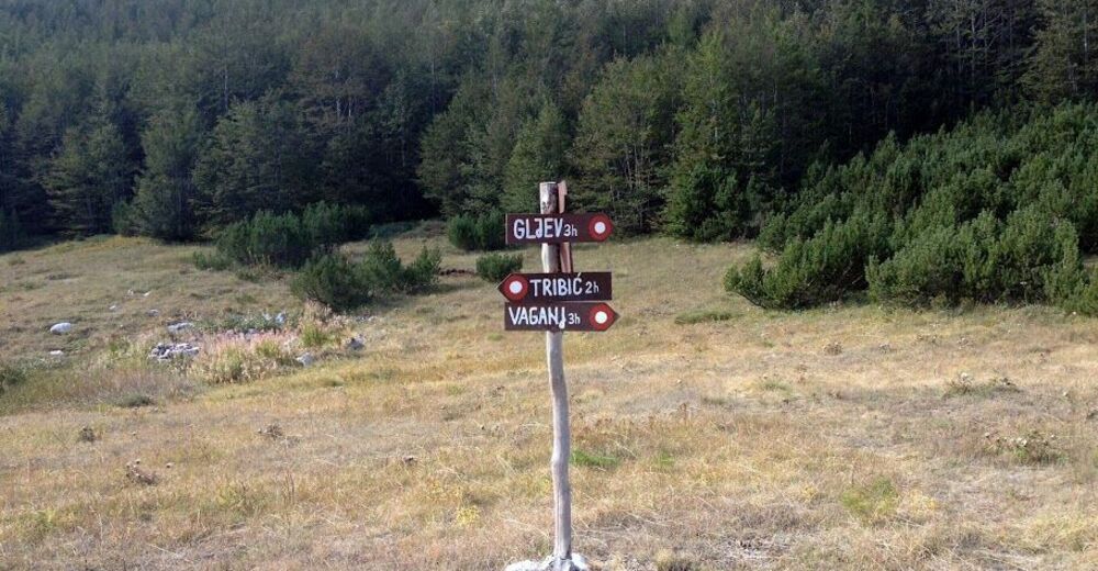
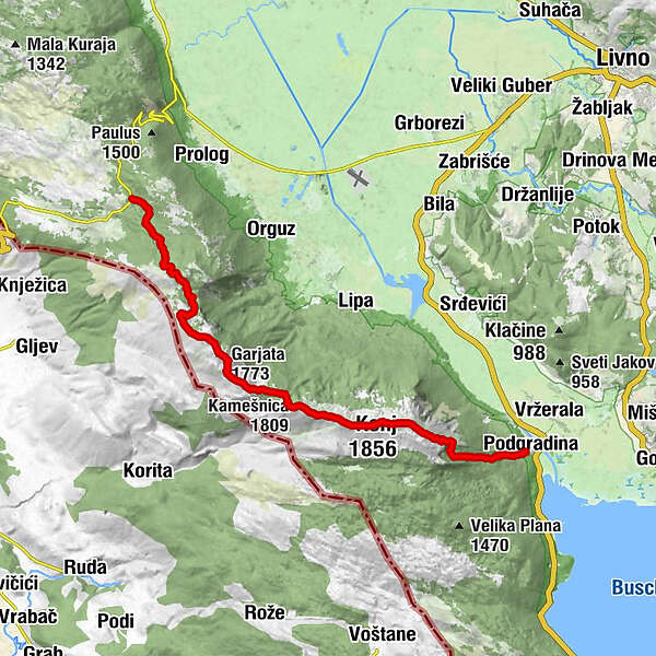
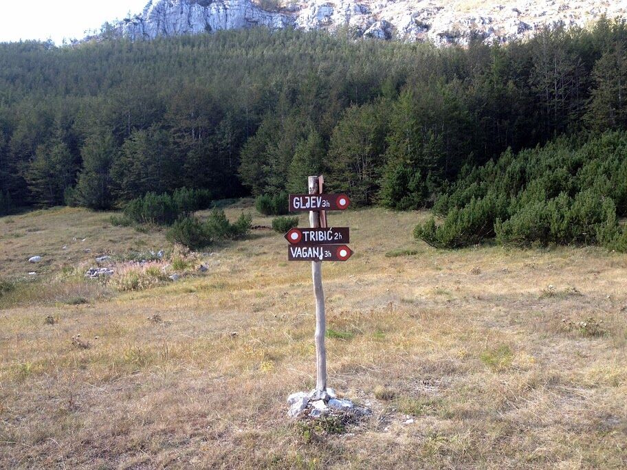
Milićeve košarice0,8 kmGornja Kamešnica (1.628 m)6,6 kmBurnjača (1.770 m)7,6 kmGarjata8,1 kmBliznički brig (1.690 m)9,8 kmGušinova kažala (1.654 m)11,0 kmBunarić11,3 kmKamešnica (1.809 m)12,4 kmKonj (1.856 m)16,4 kmPodgradina21,8 km
- Meilleure saison
-
janv.févr.marsavrilmaijuinjuil.aoûtsept.oct.nov.déc.
- Hauteur maximale
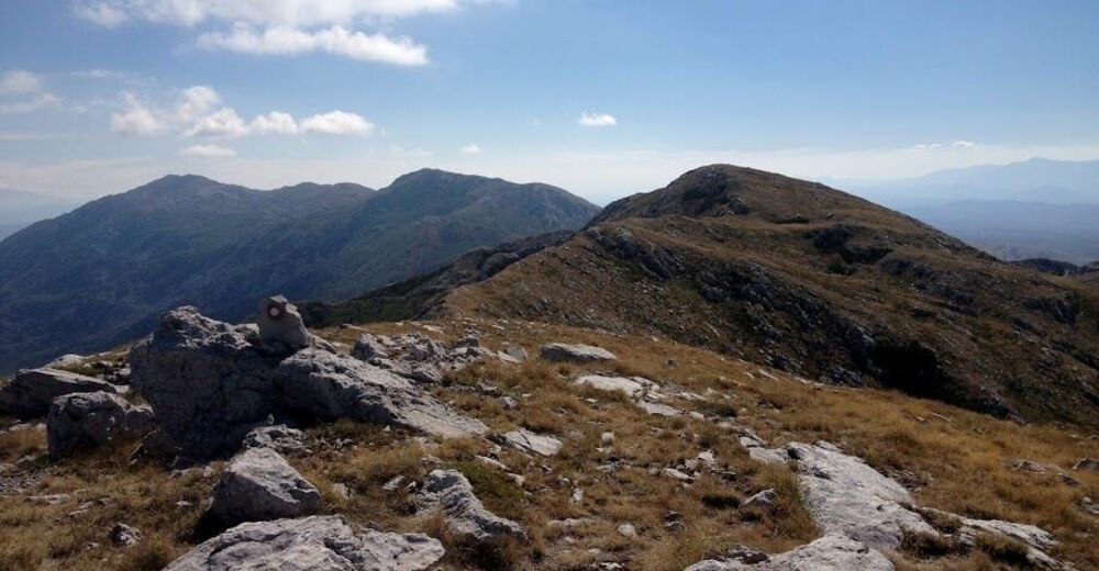
- 1.827 m
- Point de mire
-
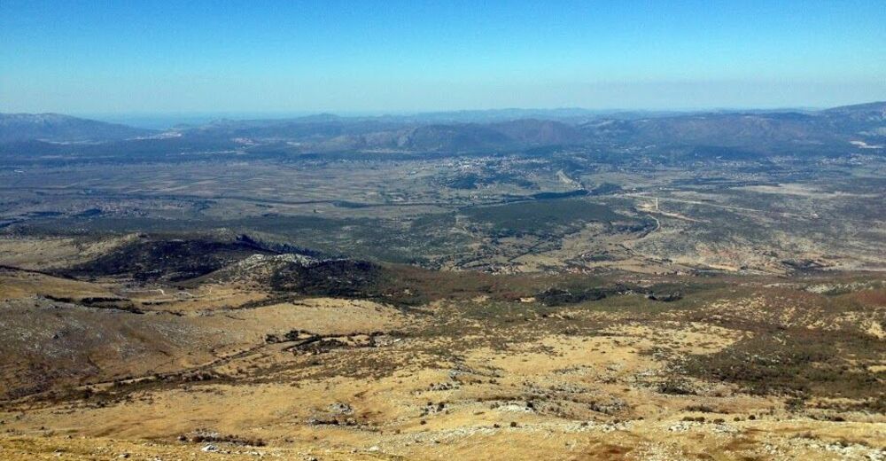
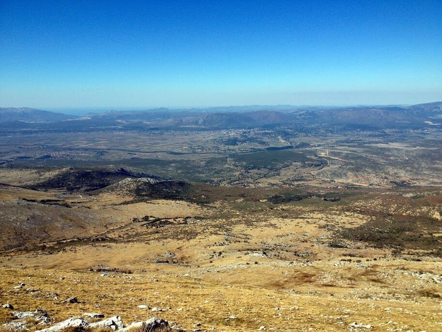
Podgradina
- Profil en hauteur
-
 © outdooractive.com


- Auteur
-
La randonnée Via Dinarica BH-W-00 Rosni Dolac-Kamešnica-Podgradina est utilisé par outdooractive.com fourni par.
GPS Downloads


Informations générales
Prometteur
Autres parcours dans les régions
-
Zagora
12