Via Dinarica HR-W-16 Southern Velebit (III) – route to Struge

Randonnée

Dates des itinéraires
18,06km
744
- 1.408m
1.064hm
539hm
10:00h
- Brève description
-
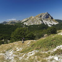
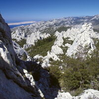
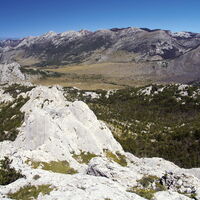
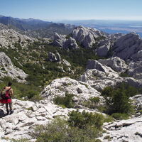
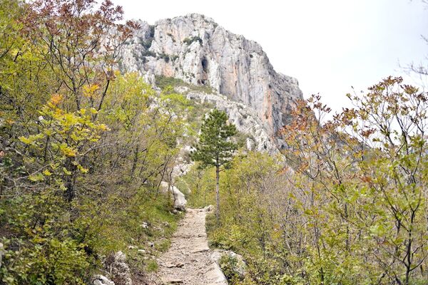
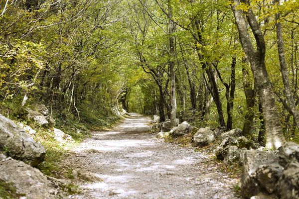
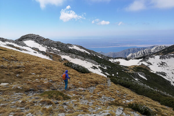
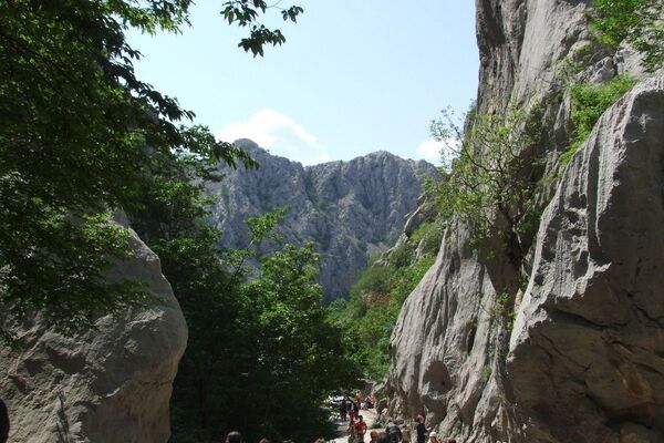
The area between Visočica and the peaks above Paklenica is not characterized by high peaks, and the key hiking destinations are oriented to the coastal side of the mountain. This is karst terrain, with an interesting series of several spacious karst valleys with virgin forests and large fields where the locals kept their livestock during the summer period until the second half of the 20th century.
- Difficulté
-
moyen
- Évaluation
-
- Parcours
-
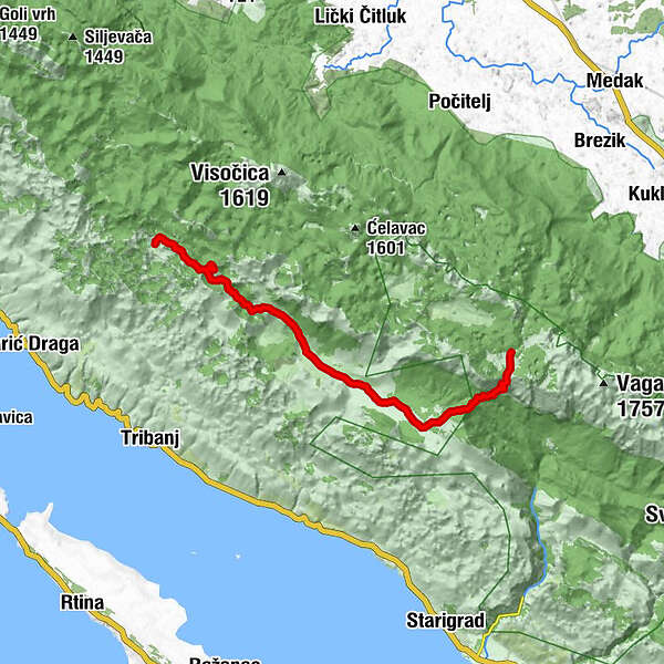
Stap0,0 kmStapina (1.125 m)1,0 kmKamena galerija3,0 kmRačabuša6,0 kmAdžići10,0 kmJovići10,6 kmGornji Marasovići12,1 kmVelika Gospa12,4 kmJama Golubinka13,4 kmStražbenica15,3 kmZanzibar15,8 kmPloče16,8 kmPlaninarsko sklonište Struge17,9 km
- Meilleure saison
-
janv.févr.marsavrilmaijuinjuil.aoûtsept.oct.nov.déc.
- Hauteur maximale
- 1.408 m
- Point de mire
-
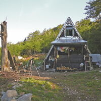
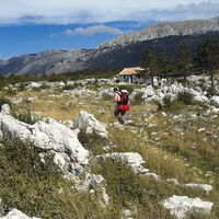
Mountain hut Struge
- Profil en hauteur
-
© outdooractive.com
-

-
AuteurLa randonnée Via Dinarica HR-W-16 Southern Velebit (III) – route to Struge est utilisé par outdooractive.com fourni par.
GPS Downloads
Autres parcours dans les régions


