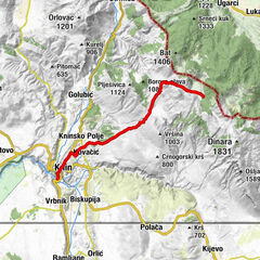
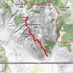
Via Dinarica HR-W-25 Troglav route of Via Dinarica White Line

Randonnée

© Terra Dinarica - Alan Čaplar

© Terra Dinarica - Darko Gavrić
© Terra Dinarica - Jasminka Radojčić
© Terra Dinarica - Darko Gavrić
© Terra Dinarica - Alan Čaplar
© Terra Dinarica - Darko Gavrić
© Terra Dinarica - Alan Čaplar
© Terra Dinarica - Alan Čaplar
© Terra Dinarica - Darko Gavrić
© Terra Dinarica - Darko gavrić

- Brève description
-
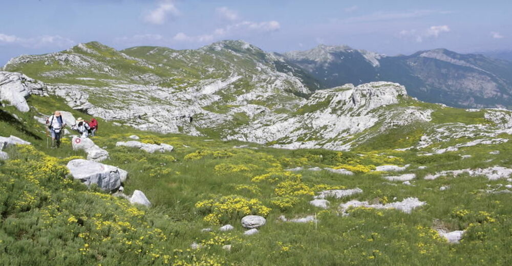
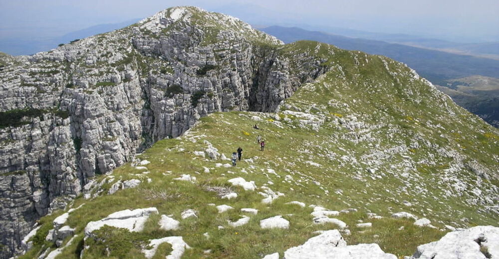
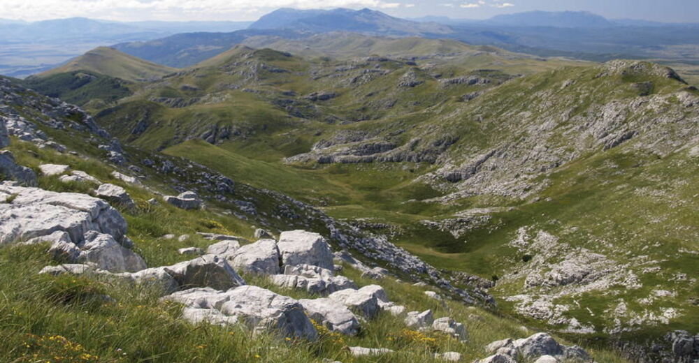
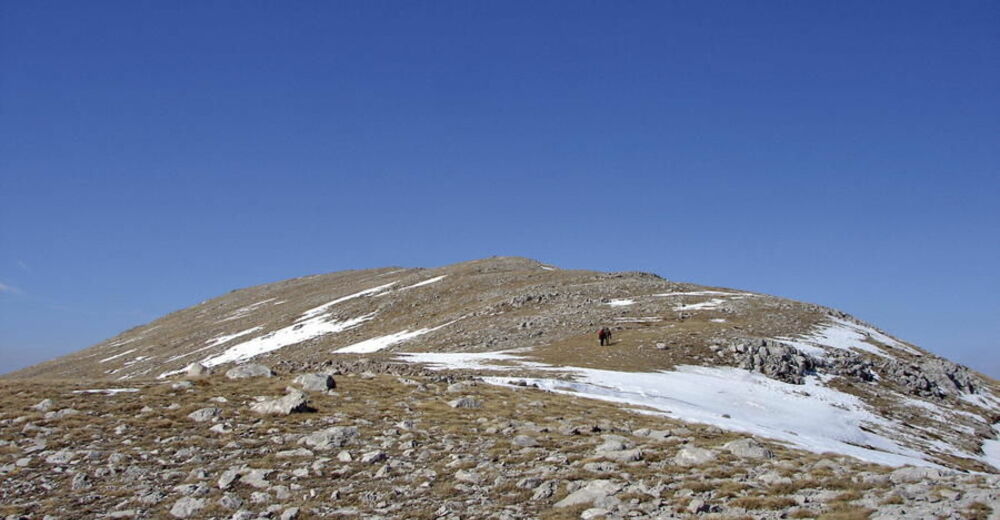
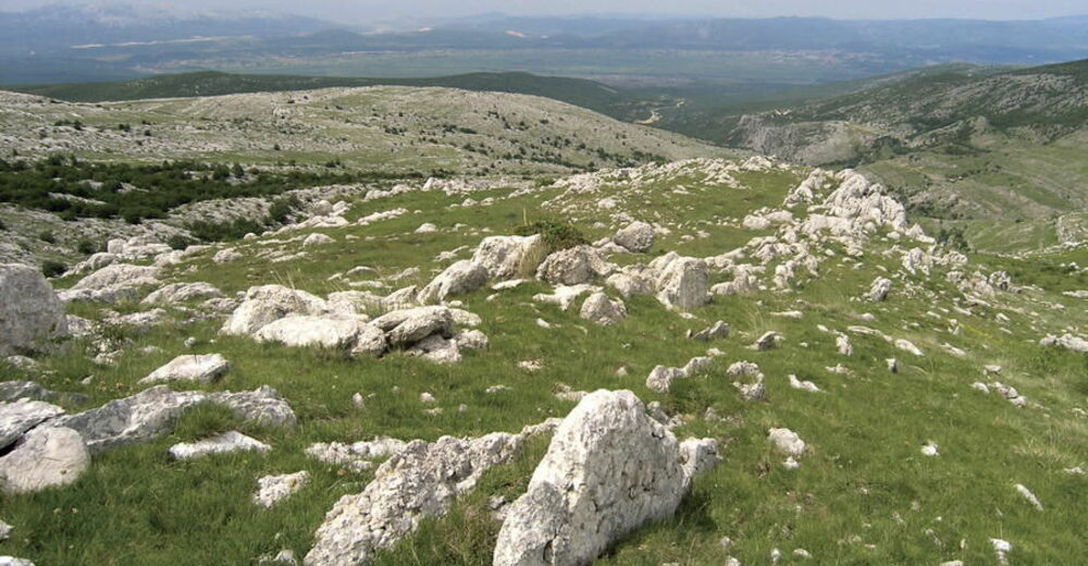
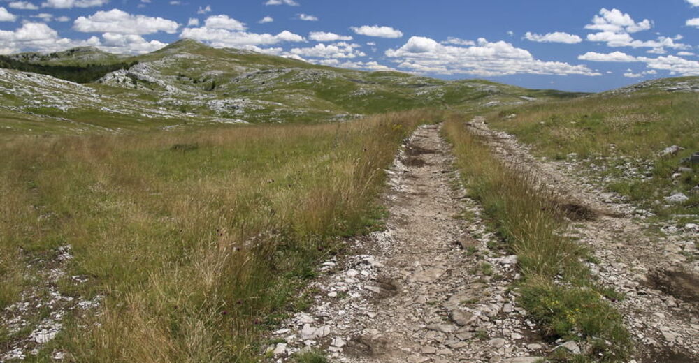
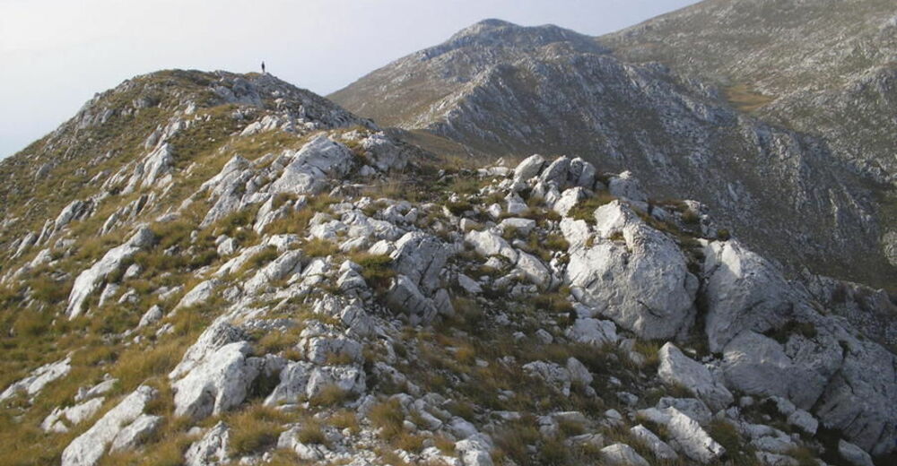
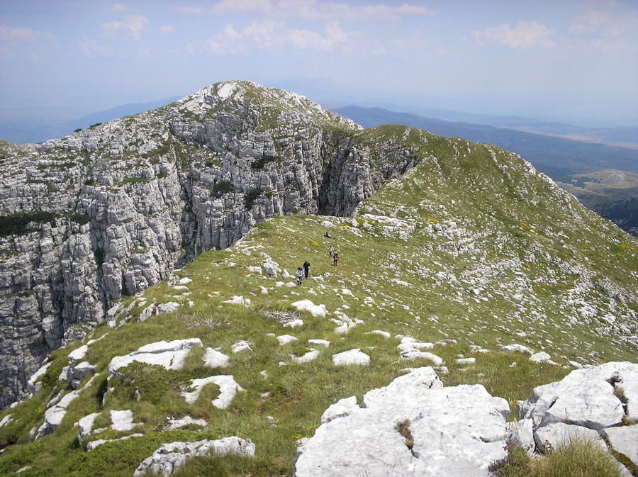
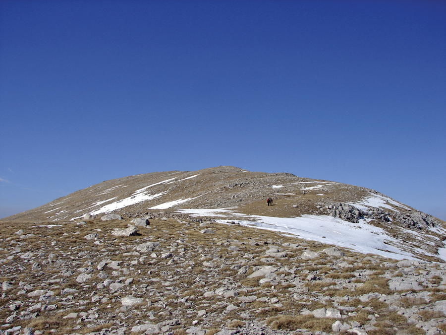
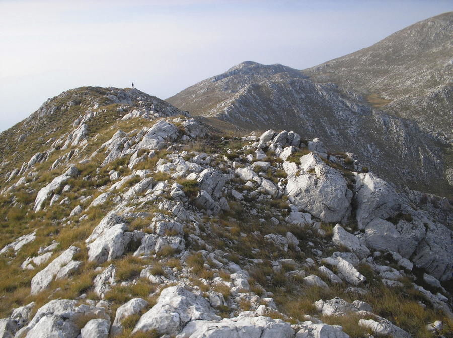
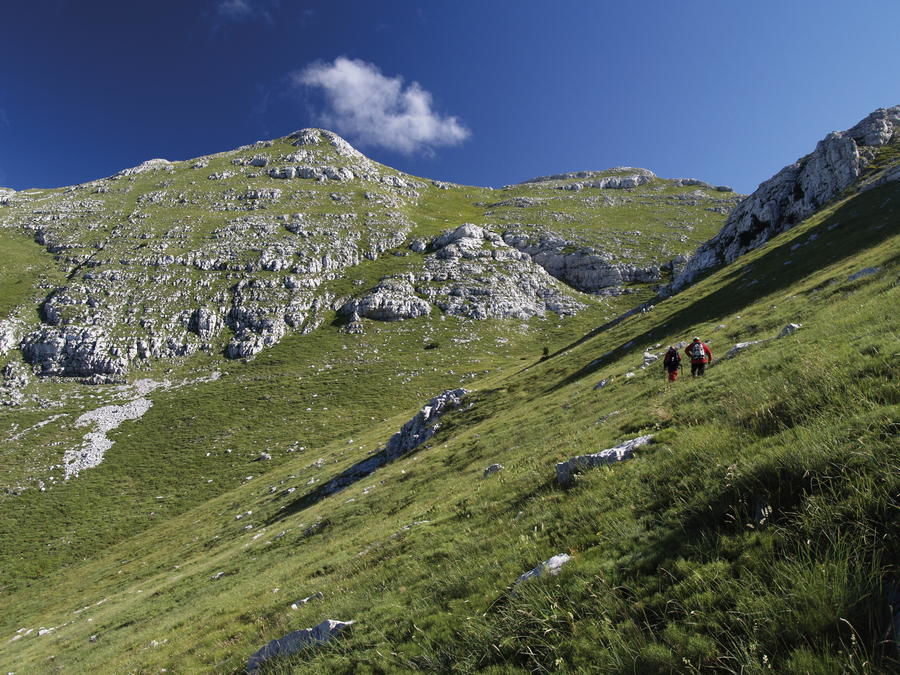
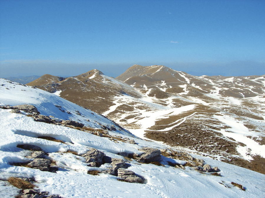
From the hiking perspective, the most attractive and the most natural route of Via Dinarica is the one that continues along the elevated zone of Troglav and Kamešnica to the southeast, right after crossing the peak of Dinara. This path is also known as the "Operation Storm Trail", with the hiking association Dinaridi from Split in charge of trail maintenance.
- Difficulté
-
difficile
- Évaluation
-
- Parcours
-
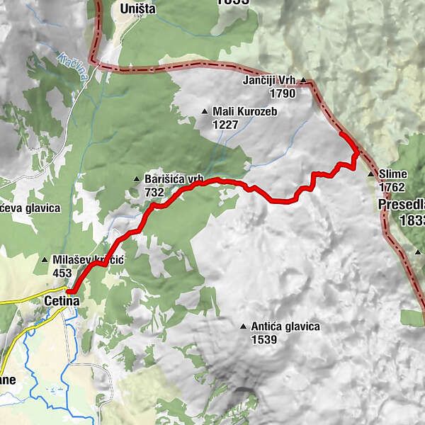
MilašiCetinaCetina spring0,1 kmPalačevići2,0 kmRupe8,6 kmLišanjski vrh (1.794 m)10,8 kmSklonište Lišanjski vrh10,9 km
- Meilleure saison
-
janv.févr.marsavrilmaijuinjuil.aoûtsept.oct.nov.déc.
- Hauteur maximale
- 1.778 m
- Profil en hauteur
-
 © outdooractive.com


-

-
AuteurLa randonnée Via Dinarica HR-W-25 Troglav route of Via Dinarica White Line est utilisé par outdooractive.com fourni par.
GPS Downloads


Autres parcours dans les régions
-
Vrlika
3