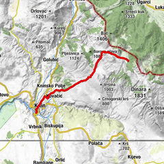
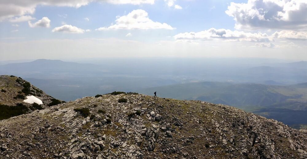
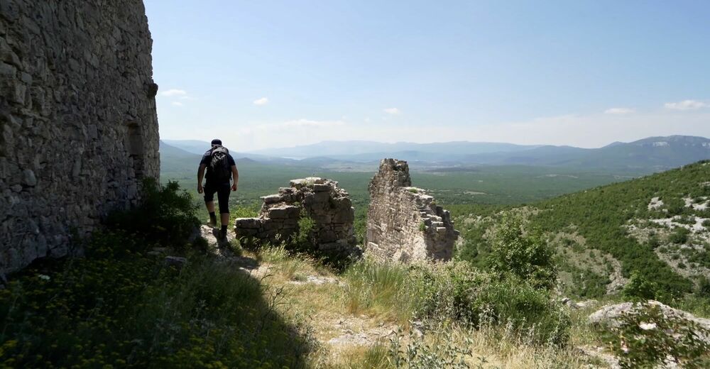
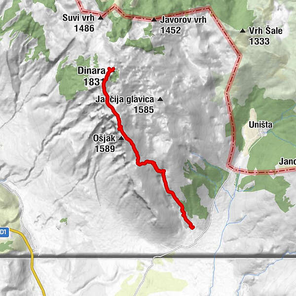
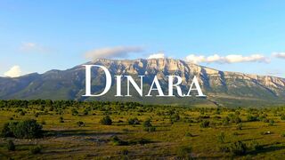
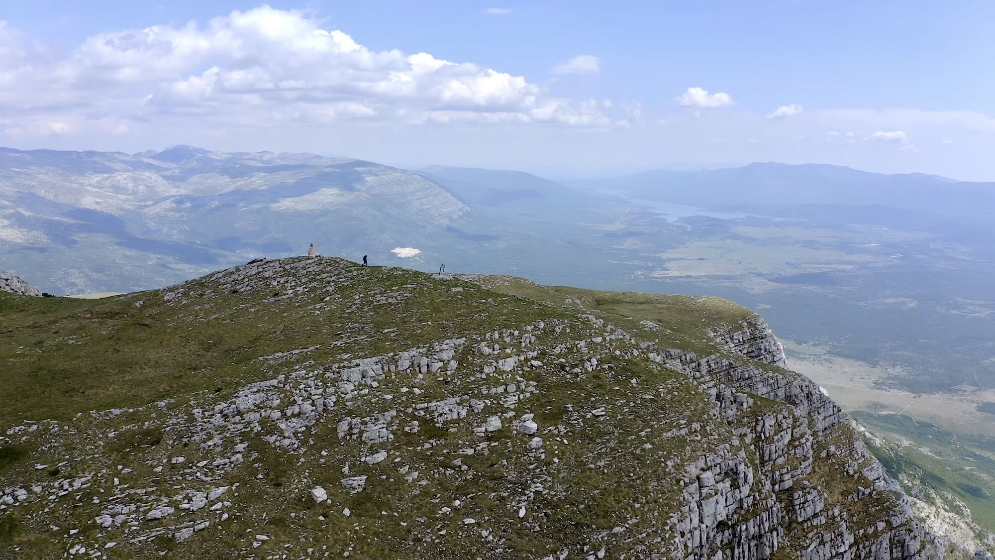
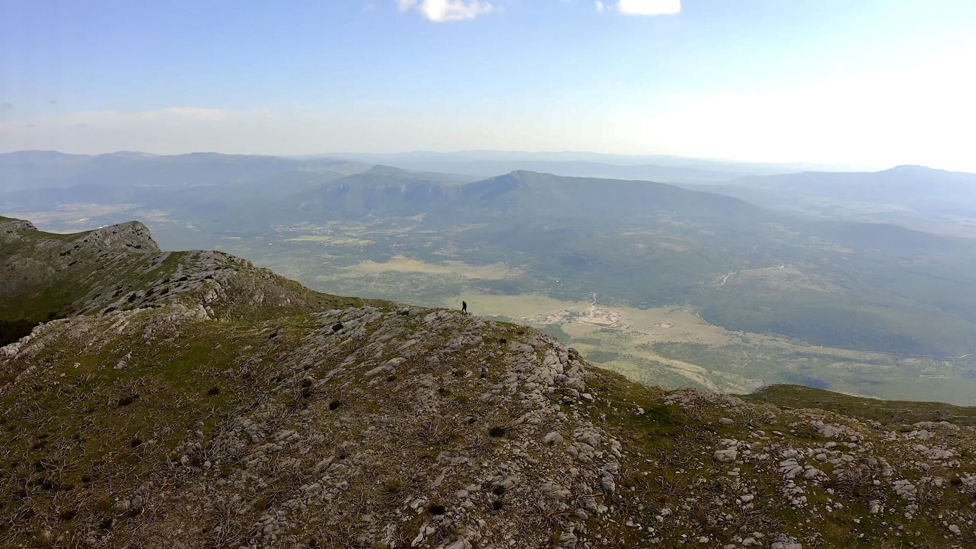
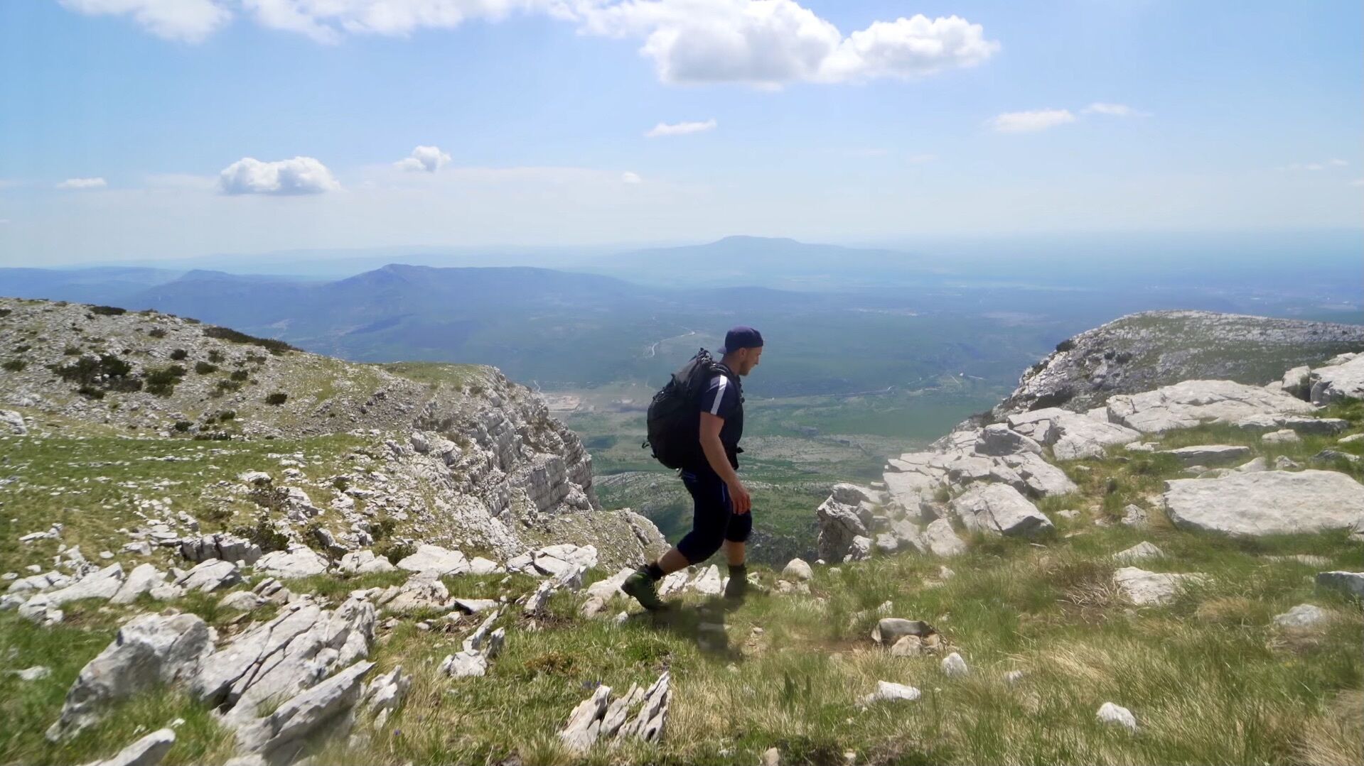
"Dinara 1831m" - Croatia's highest mountain (Pješačenje po Hrvatskoj)

Randonnée

Dates des itinéraires
17,53km
567
- 1.825m
1.340hm
1.340hm
05:50h
- Brève description
-
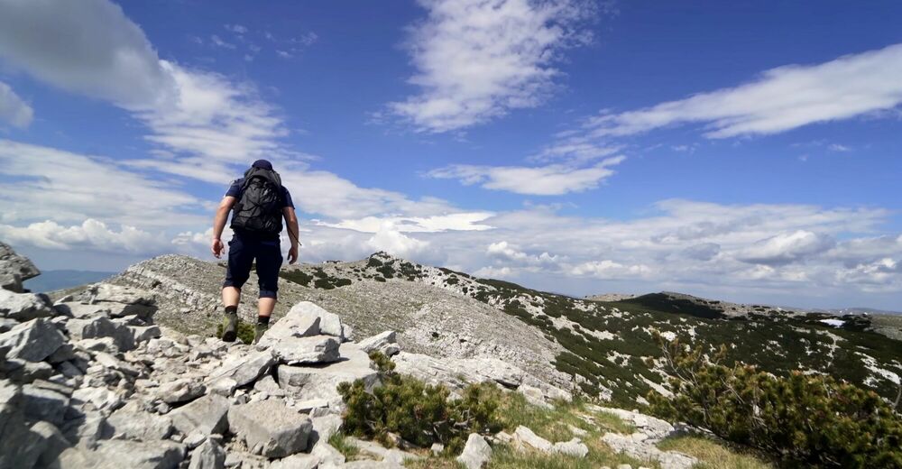
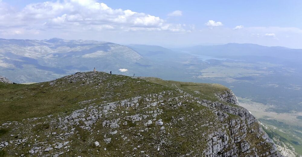
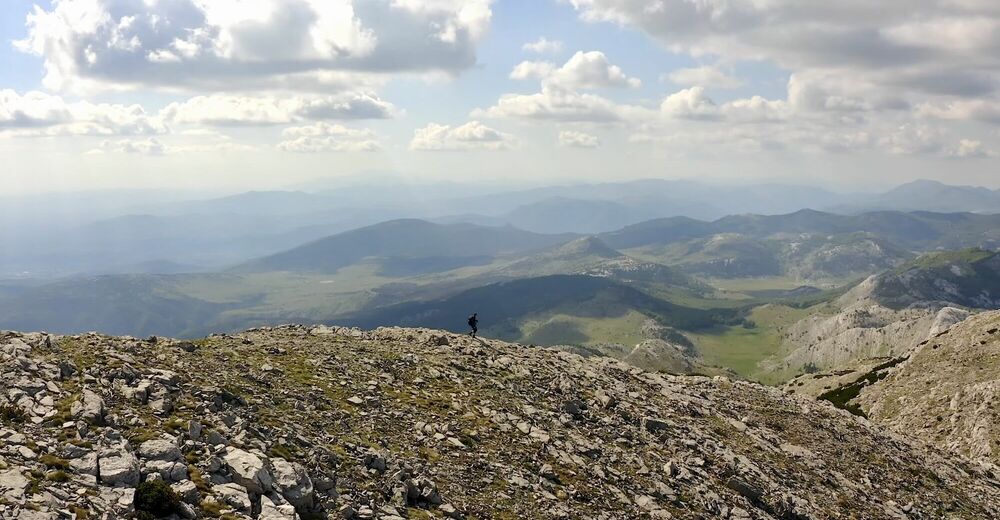
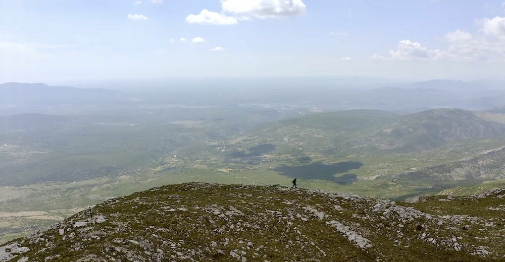
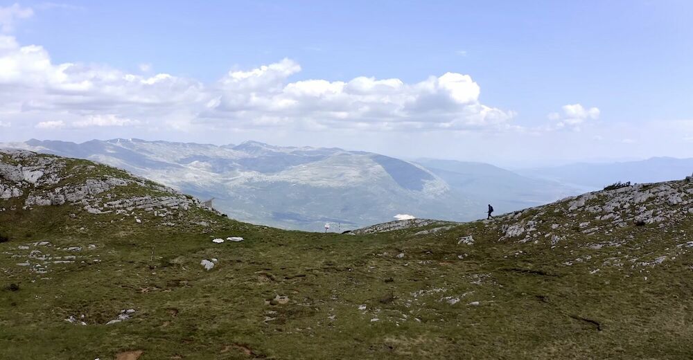
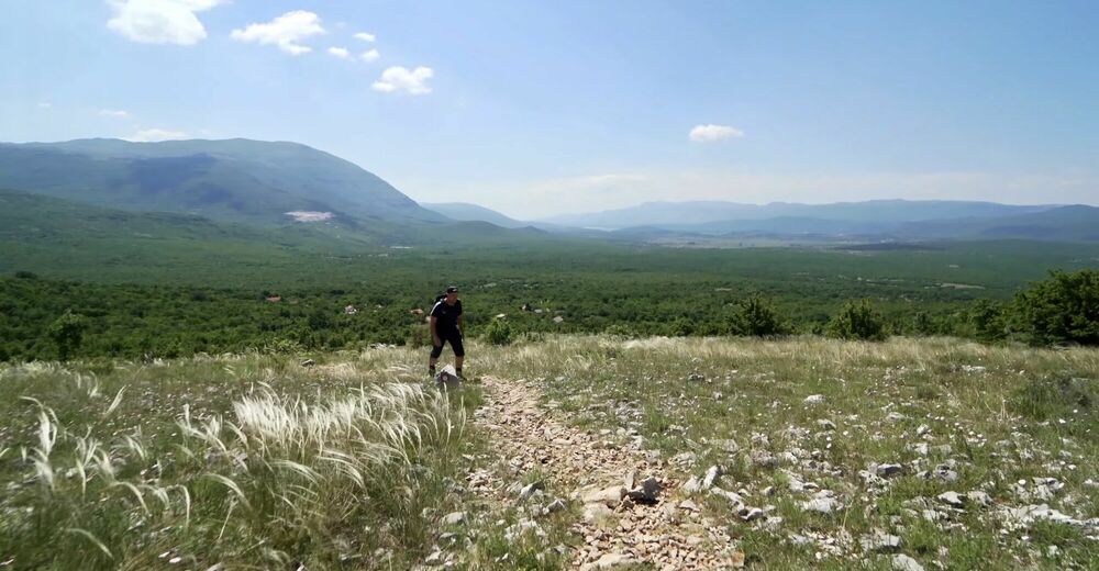
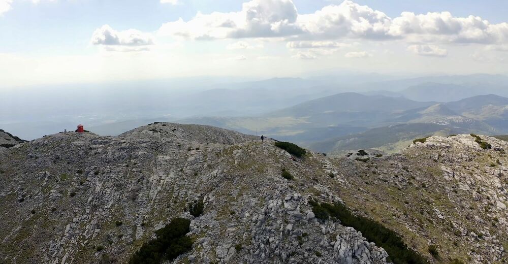
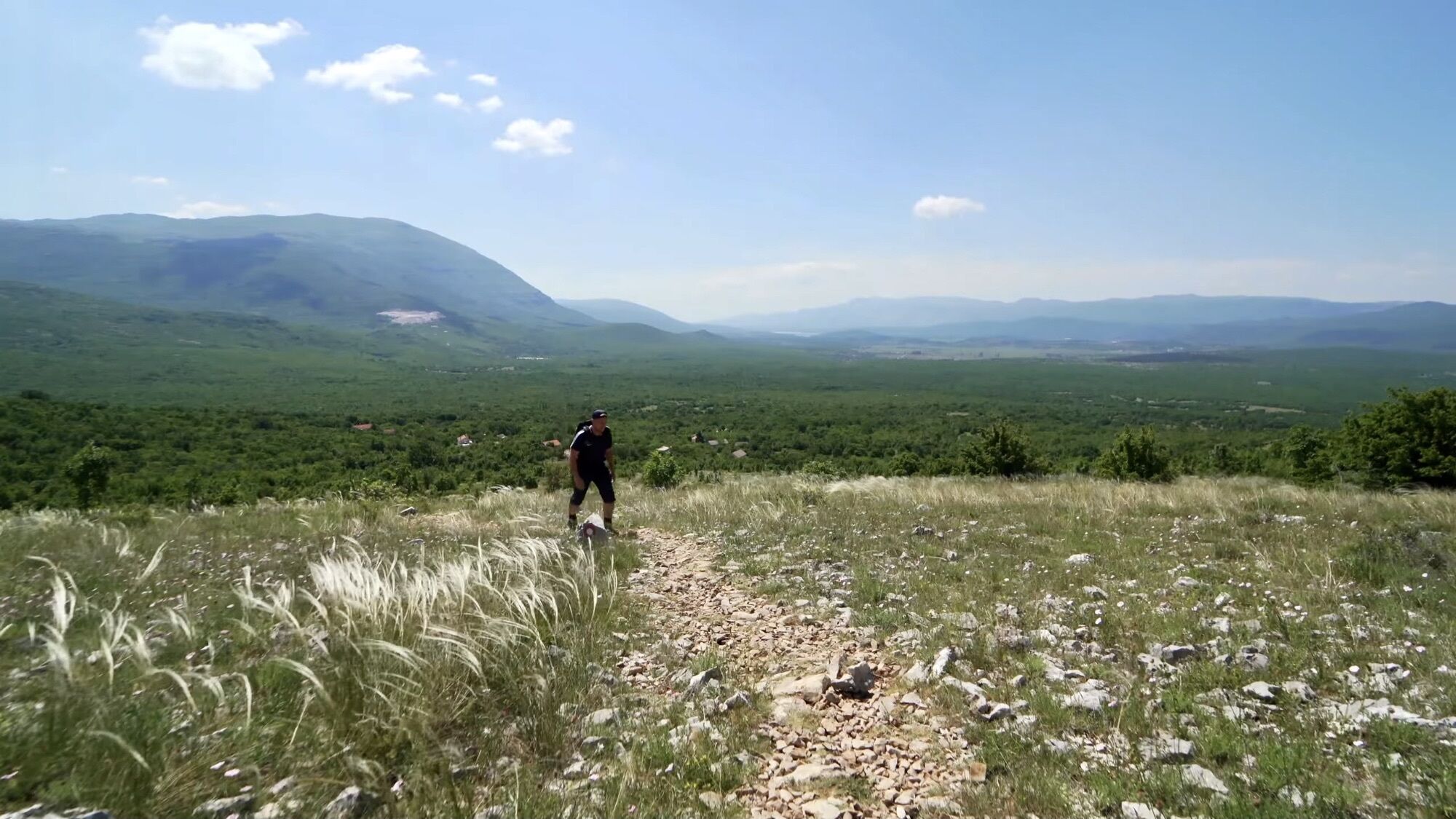
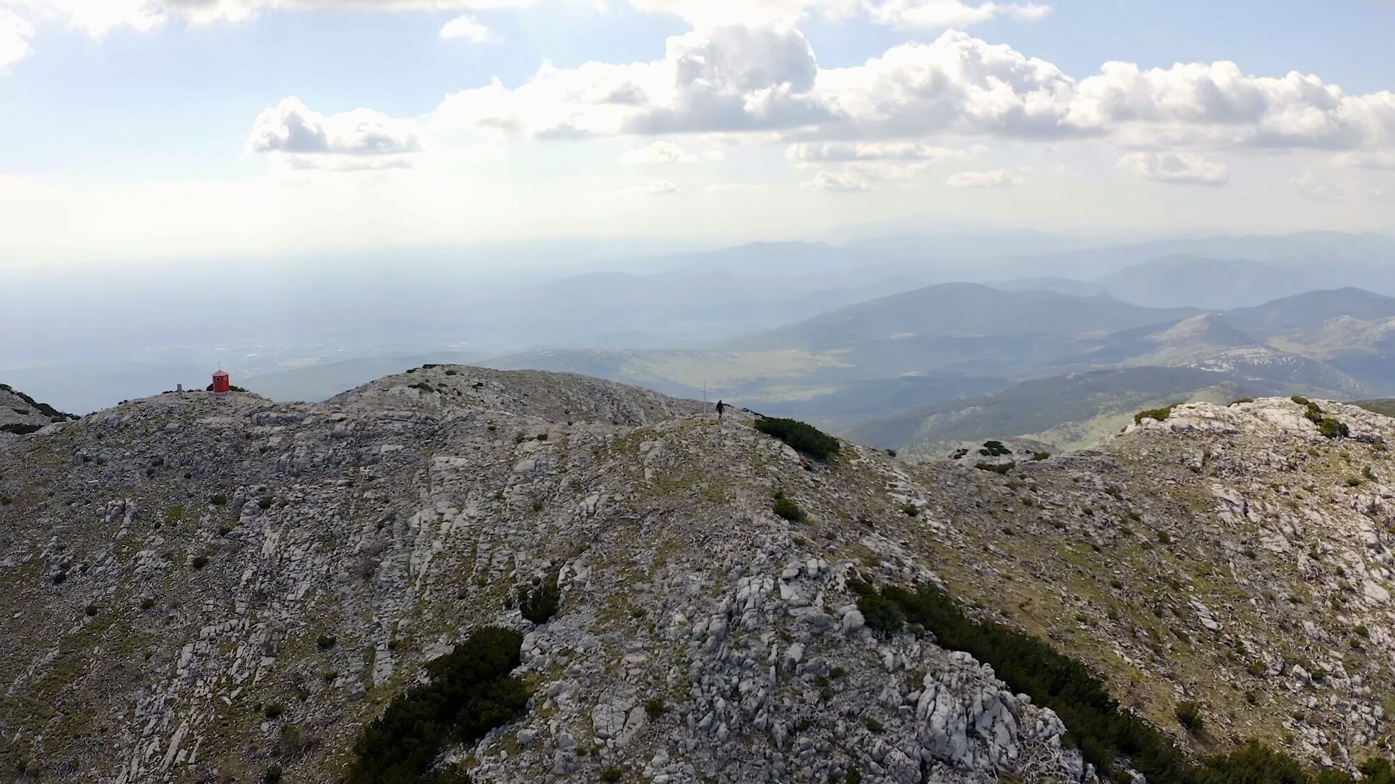
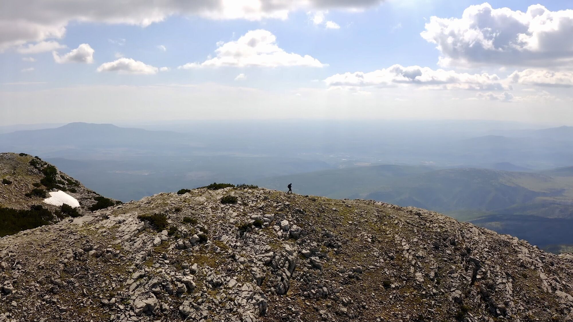
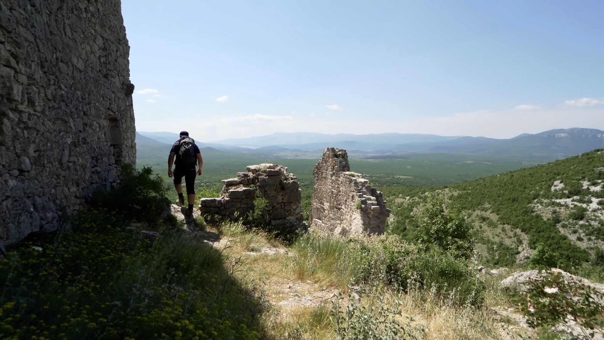
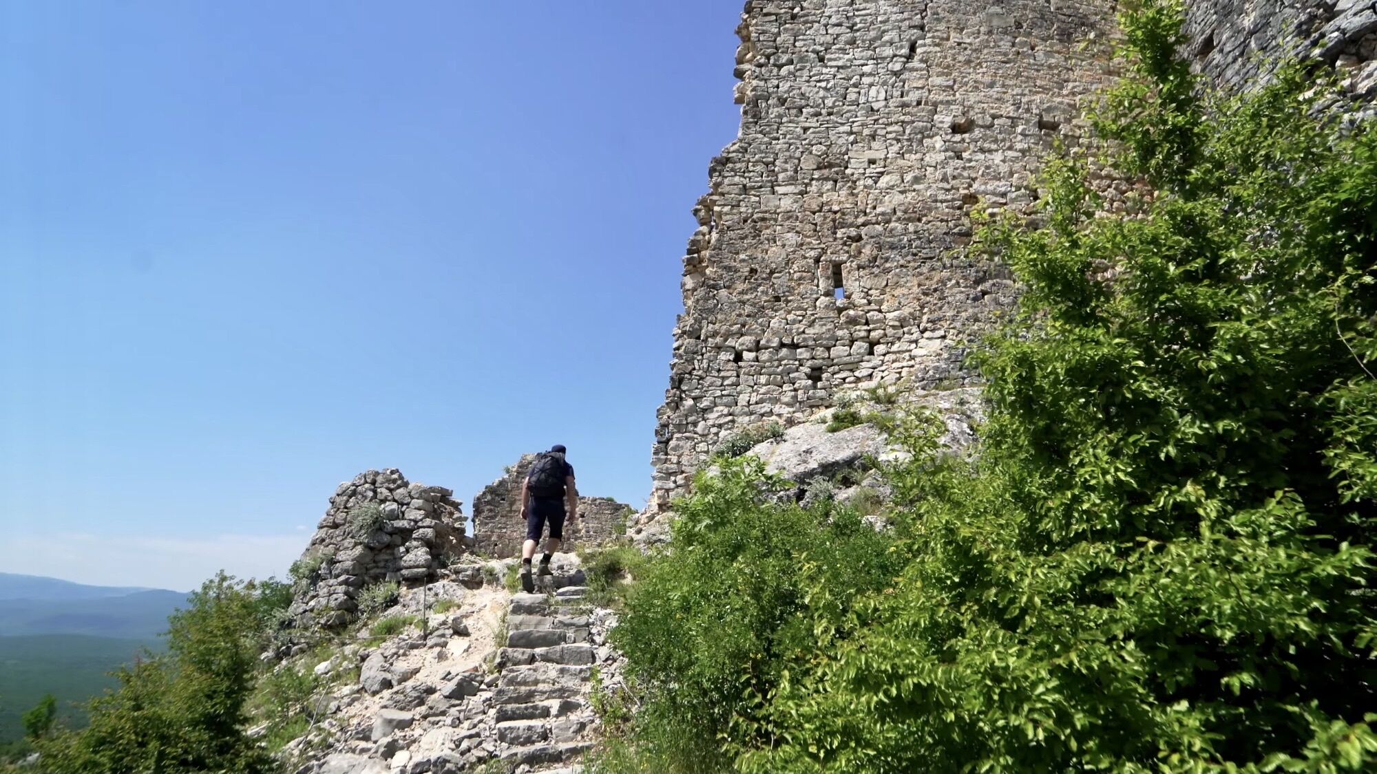
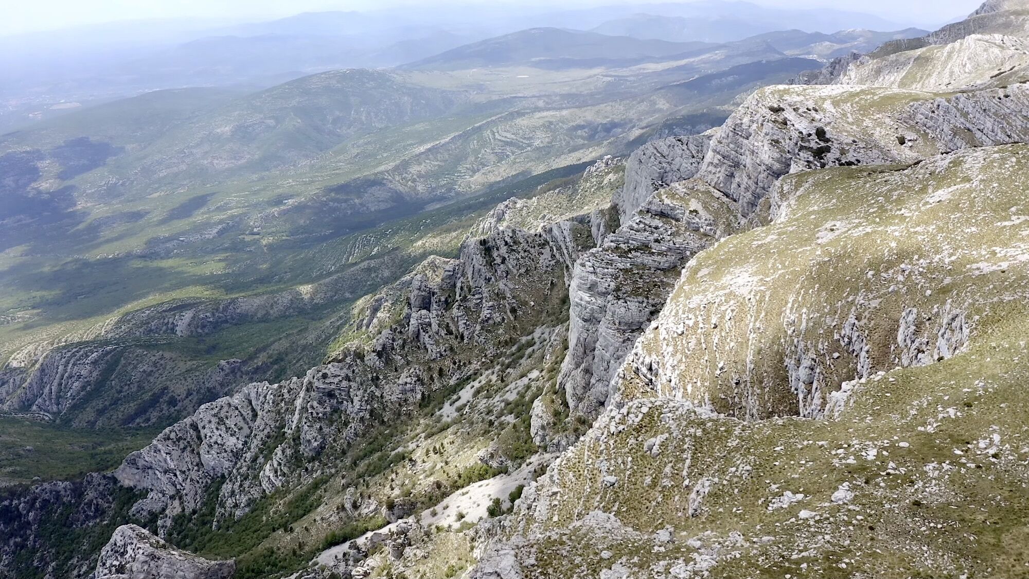
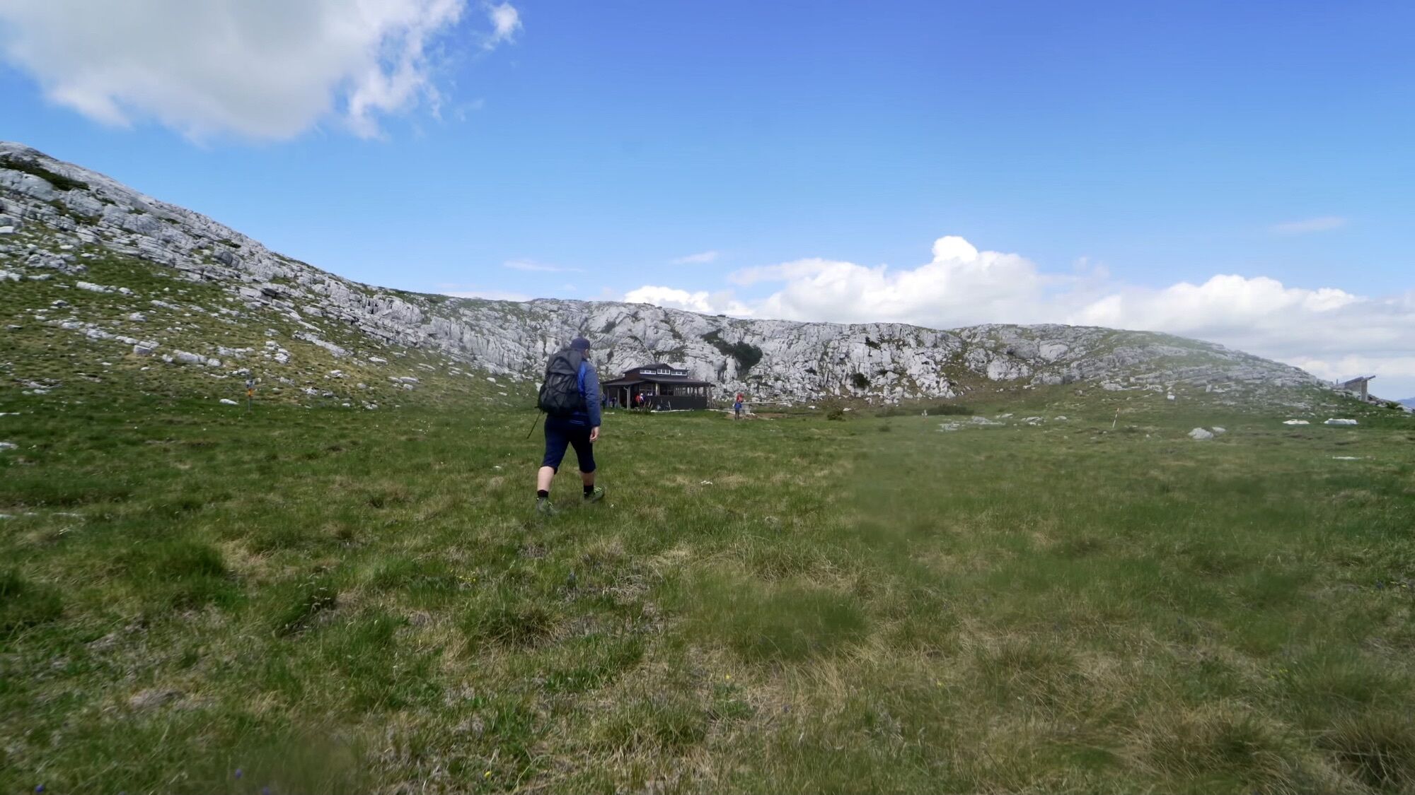
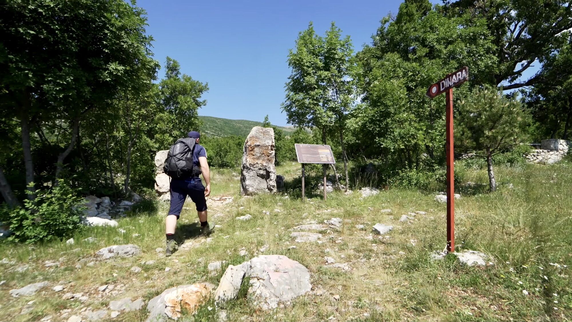
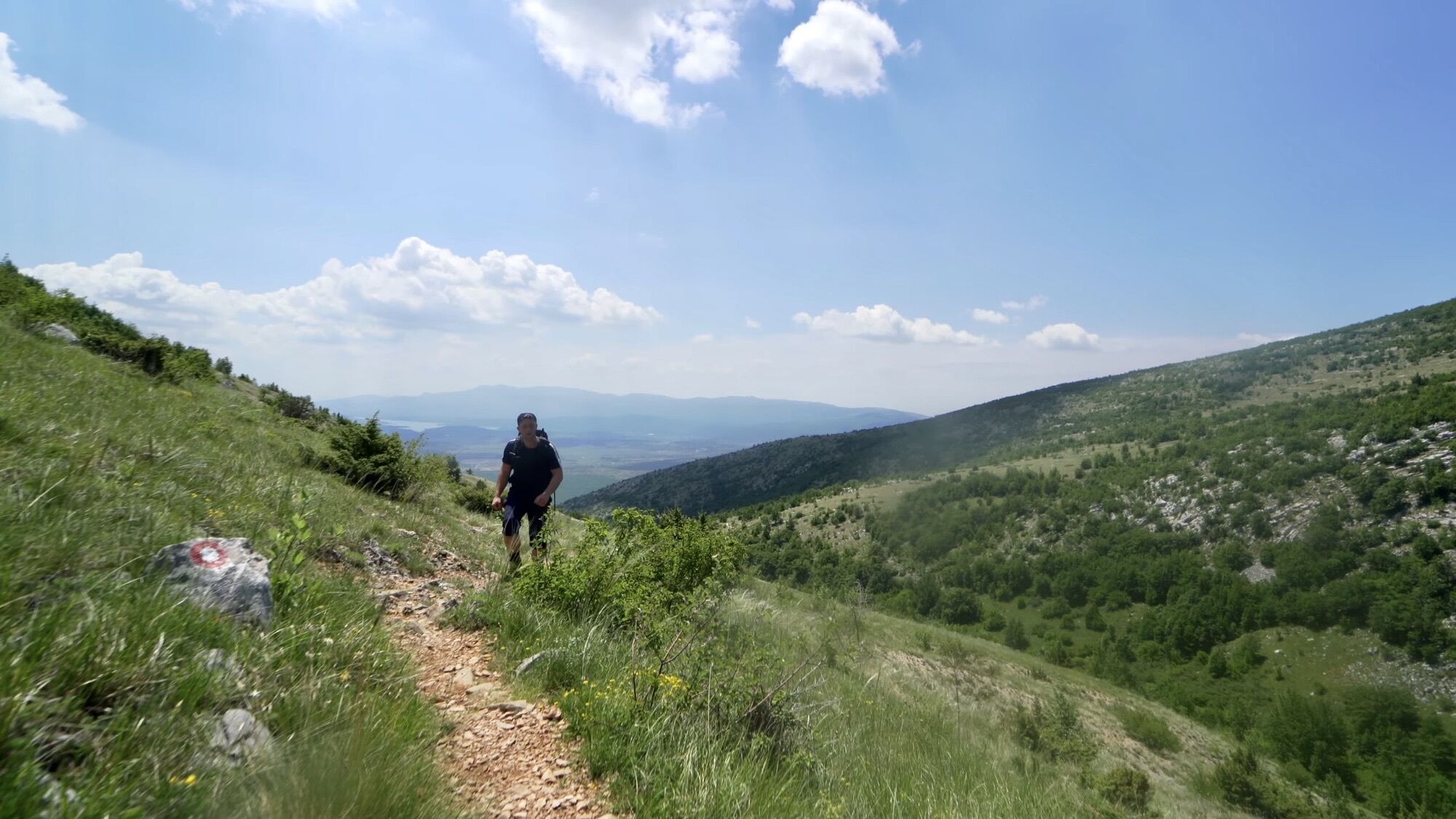
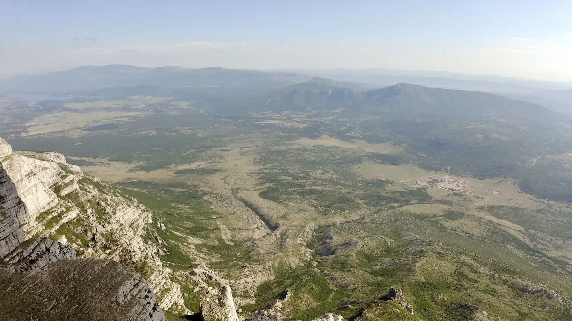
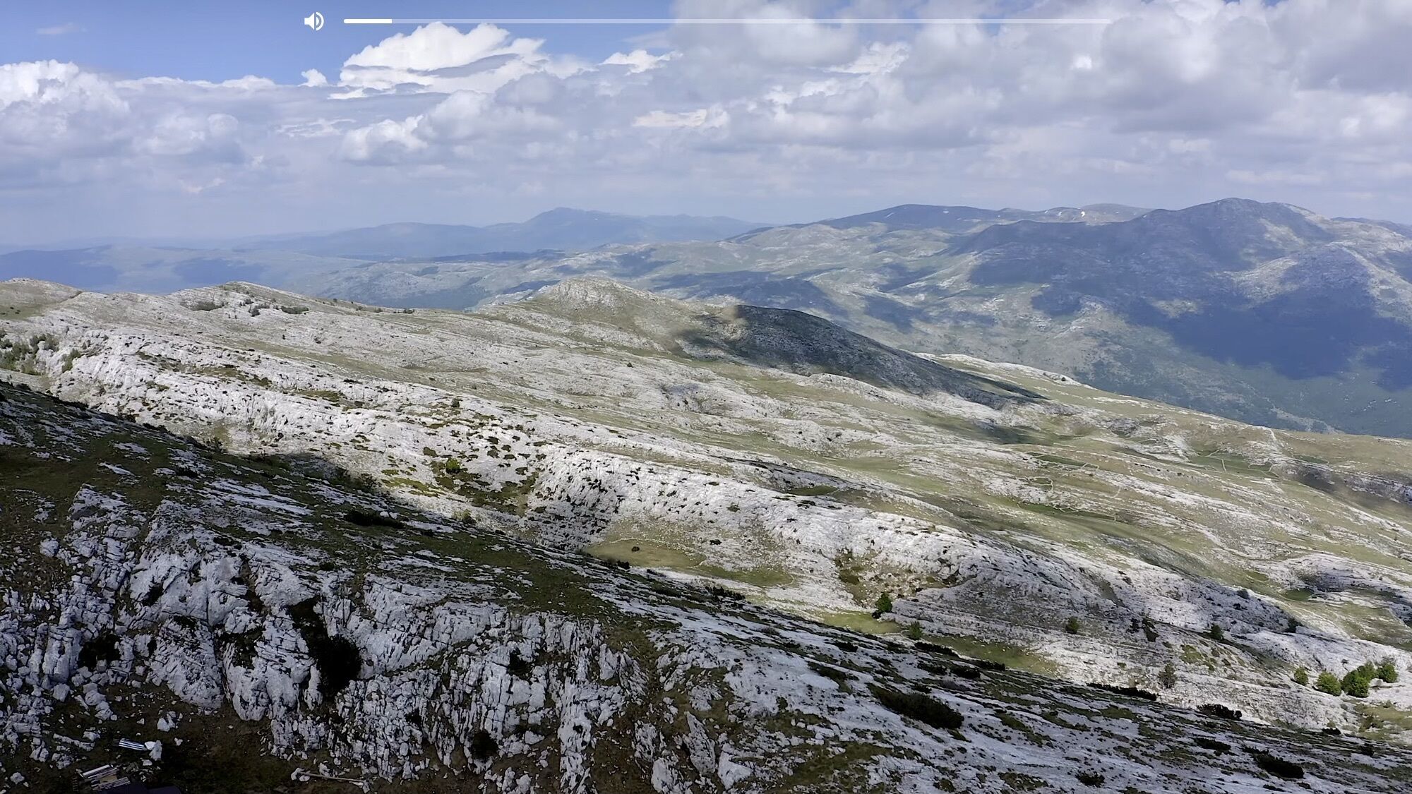
Der "Dinara" ist ein beliebtes Ausflugsziel für Wanderer und Bergsteiger. Er ist der höchste Berg Kroatiens und liegt an der Grenze zu Bosnien. Eine leichte, schöne, aussichtsreiche und manchmal windige Wanderung erwartet euch auf dem Dinara. Ich fand die Tour grandios. Chapeau!
- Difficulté
-
facile
- Évaluation
-
- Parcours
-
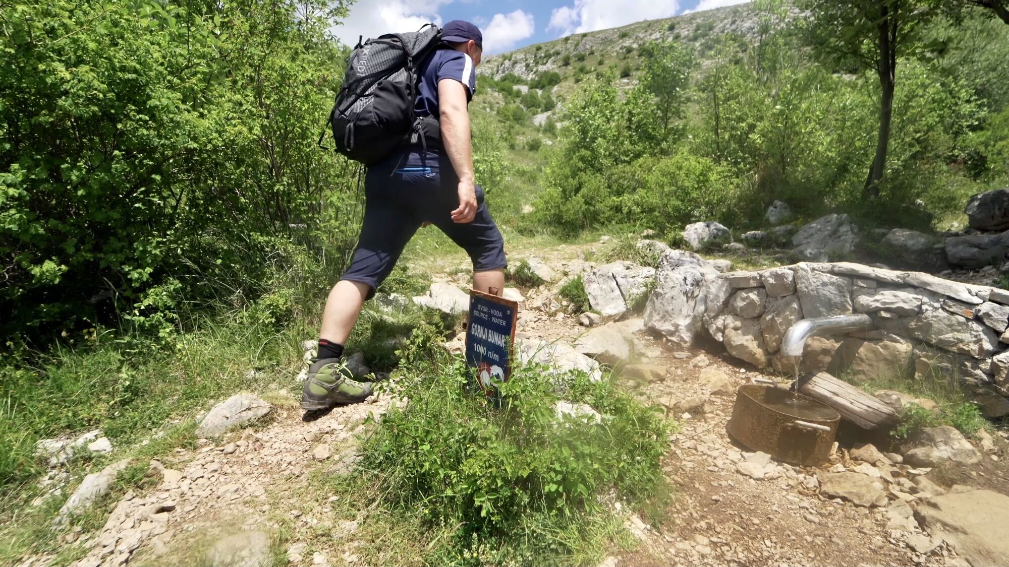
Glavaš0,1 kmCrvena pećina1,6 kmDinara (1.831 m)8,9 kmCrvena pećina16,0 kmGlavaš17,1 kmGlavaš17,3 km
- Meilleure saison
-
janv.févr.marsavrilmaijuinjuil.aoûtsept.oct.nov.déc.
- Hauteur maximale
- 1.825 m
- Videos
-
 08:02
08:02


- Source
- Christian Sommer
GPS Downloads