Dates des itinéraires
22,23km
131
- 416m
368hm
387hm
04:25h
- Brève description
-
Sehr einfache Wanderung übers Leithagebirge
- Difficulté
-
facile
- Évaluation
-
- Parcours
-
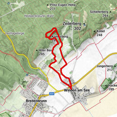
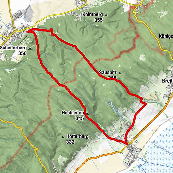
Mannersdorf am LeithagebirgeKaltes Bründl3,0 kmMühlriegel-Felsdach8,2 kmMühlriegelhöhle8,2 kmPurbach am Neusiedler See (128 m)9,7 kmAnnakapelle10,0 kmFlorianisiedlung10,9 kmEichberg20,0 kmBuschingauberg (296 m)20,6 kmHubertuskapelle21,3 kmMannersdorf am Leithagebirge22,2 km
- Meilleure saison
-
janv.févr.marsavrilmaijuinjuil.aoûtsept.oct.nov.déc.
- Hauteur maximale
- 416 m
GPS Downloads


Nature du chemin
Asphalte
(5,3 km)
Gravier
Pelouse
Forêt
(17,0 km)
Rocher
Exposé
Autres parcours dans les régions
-
Wienerwald
4219
-
Römerland Carnuntum - Marchfeld
650
-
Sommerein
157