Dates des itinéraires
73,51km
322
- 439m
572hm
572hm
03:10h
- Brève description
-
Rundstrecke durch die Weinidylle im Südburgenland
- Difficulté
-
facile
- Évaluation
-
- Point de départ
-
Olbendorf
- Parcours
-
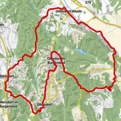
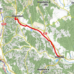
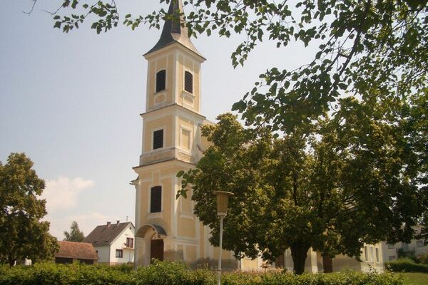
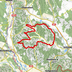
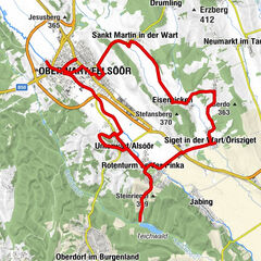
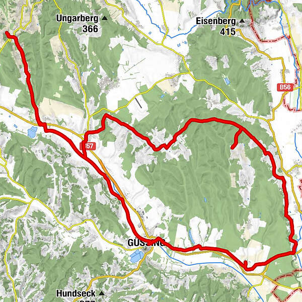
Olbendorf0,8 kmMarx’sche Häuser3,7 kmRauchwart im Burgenland7,2 kmPfarrkirche Hl. Michael13,0 kmGasthof - "Zum Storch"13,1 kmSankt Michael im Burgenland13,2 kmMichaeler Berghäuser15,8 kmRuisenberg16,7 kmOberbergen17,3 kmPagelberg19,6 kmPunitz21,0 kmFilialkirche hl. Sebastian21,0 kmWintner Bergkapelle33,7 kmKulm im Burgenland35,4 kmWeinek36,0 kmGaaser Bergen38,5 kmMaria Weinberg39,1 kmPfarrkirche hl. Antonius von Padua44,9 kmStrem45,1 kmGasthof Legath45,5 kmGasthaus Kedl49,0 kmUrbersdorf (218 m)49,6 kmFilialkirche zur seligsten Jungfrau Maria49,6 kmPizzeria Giovanni53,8 kmGasthaus zur Burg53,8 kmGüssing (229 m)53,9 kmTobaj57,9 kmRauchwart im Burgenland65,9 kmMarx’sche Häuser69,8 kmOlbendorf72,4 km
- Meilleure saison
-
janv.févr.marsavrilmaijuinjuil.aoûtsept.oct.nov.déc.
- Hauteur maximale
- Oberbergen (439 m)
- Point de mire
-
Maria Weinberg
- Source
- Martin Scholz
GPS Downloads


Circuits
Asphalte
Gravier
Forêt
Sentiers de montagne
Sentiers singletrail
Trial
Circulation
Autres parcours dans les régions
-
Thermen- & Vulkanland
344
-
Südburgenland
127
-
Tobaj
32