Dates des itinéraires
43,84km
182
- 304m
417hm
408hm
02:08h
- Brève description
-
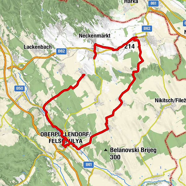
Raiding - Oberpullendorf (+ Nachbarorte)
- Difficulté
-
facile
- Évaluation
-
- Parcours
-
Pfarrkirche hl. Margaretha0,5 kmGasthaus Kuzmich-Duschanek0,5 kmHoritschon0,8 kmGasthaus Lazarus0,8 kmGasthaus Trummer0,9 kmNeckenmarkt1,7 kmUnterpetersdorf3,5 kmPizzaria Leonardo4,3 kmPfarrkirche hl. Rosalia4,3 kmSiedlung Hauswiesen7,2 kmGirm8,8 kmDas Blaufränkisch8,9 kmPfarrkirche hl. Anna17,1 kmKleinwarasdorf17,5 kmGasthaus Kautz-Janits17,7 kmNebersdorf (241 m)21,9 kmFilialkirche Zur Unbefleckten Empfängnis23,8 kmLangental (242 m)24,2 kmPfarrkirche hll. Simon und Judas Thaddäus27,2 kmMitterpullendorf27,2 kmOberpullendorf/Felsőpulya28,8 kmStoob Süd33,7 kmStoob36,5 kmGasthaus zum IGNAZ36,6 kmRaiding43,6 km
- Hauteur maximale
- 304 m

GPS Downloads


Autres parcours dans les régions