

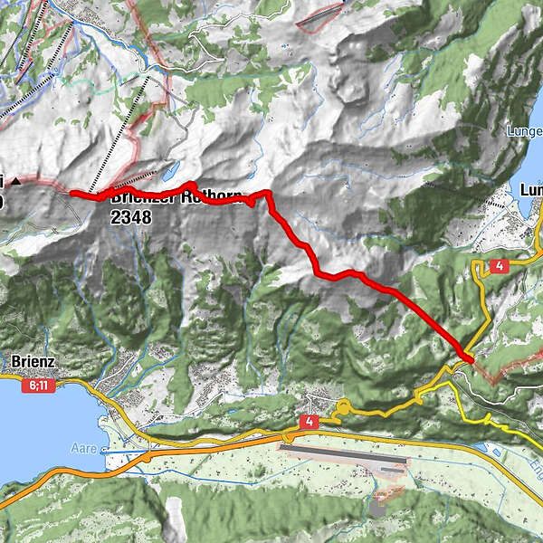
Dates des itinéraires
11,35km
1.011
- 2.265m
514hm
1.731hm
06:00h
- Brève description
-
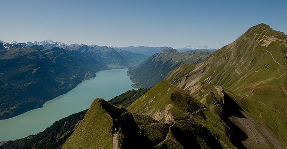
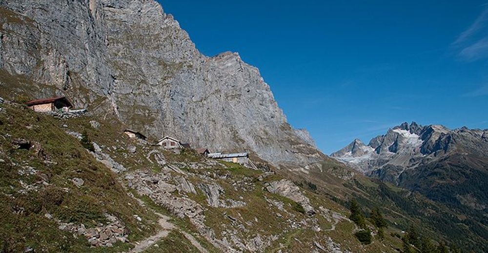
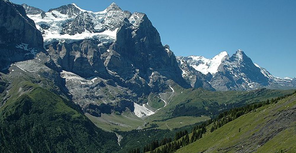
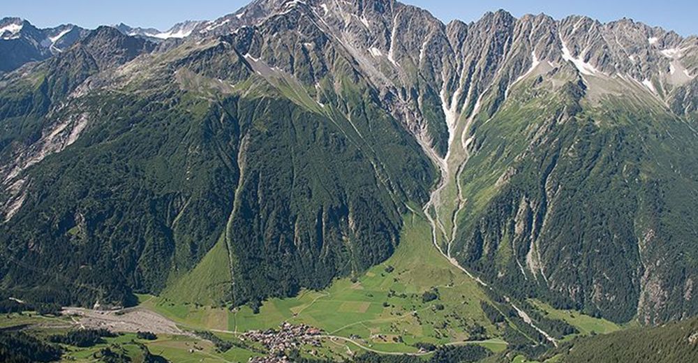
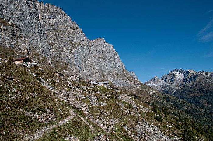
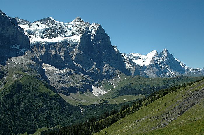
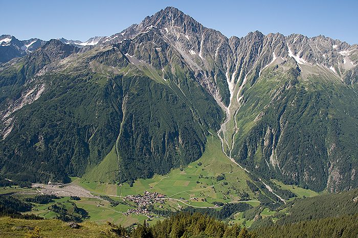
Wir beginnen auf dem Brienzer Rothorn und wandern durch die Voralpen bis zu den Hochalpen am Grimselpass
- Difficulté
-
moyen
- Évaluation
-
- Point de départ
-
Meiringen
- Parcours
-
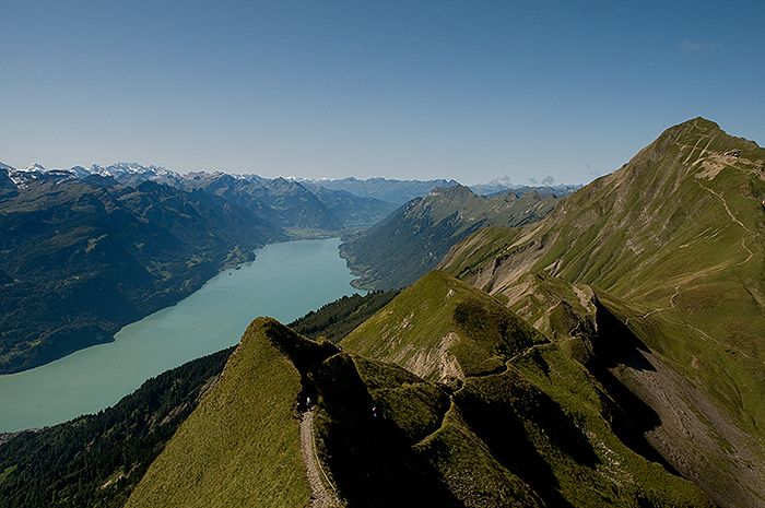
Brienzer RothornRothorn0,1 kmGipfel Restaurant Rothorn0,2 kmBrienzer Rothorn (2.348 m)0,5 kmBrienzer Rothorn0,9 kmHöch Gumme (2.205 m)5,4 kmHörnli (1.942 m)7,2 kmWilerhorn (2.005 m)7,8 km
- Meilleure saison
-
janv.févr.marsavrilmaijuinjuil.aoûtsept.oct.nov.déc.
- Hauteur maximale
- 2.265 m
- Point de mire
-
Meiringen


- Informations par téléphone
-
+41 (0)79 579 10 97
- Link
- http://berg-adventure.ch
- Source
- Otto Kehrli
GPS Downloads


Nature du chemin
Asphalte
Gravier
Pelouse
Forêt
Rocher
Exposé
Autres parcours dans les régions
-
Obwalden
2014
-
Brienzersee
1054
-
Brienzwiler
302