Dates des itinéraires
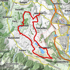
15,7km
1.088
- 1.379m
426hm
03:00h

- Évaluation
-
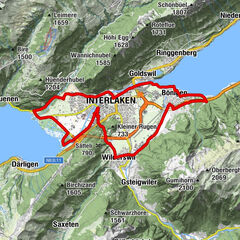
- Parcours
-
Schmocken0,5 kmGrön3,3 kmHinterstberg (1.370 m)7,7 km
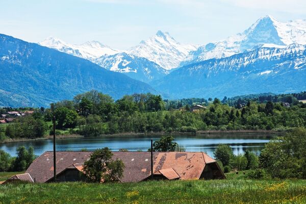
- Hauteur maximale
- 1.379 m

GPS Downloads


Circuits
Asphalte
Gravier
Sentiers de montagne
Sentiers singletrail
Trial
Circulation
Autres parcours dans les régions
-
Obwalden
103
-
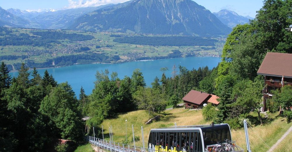
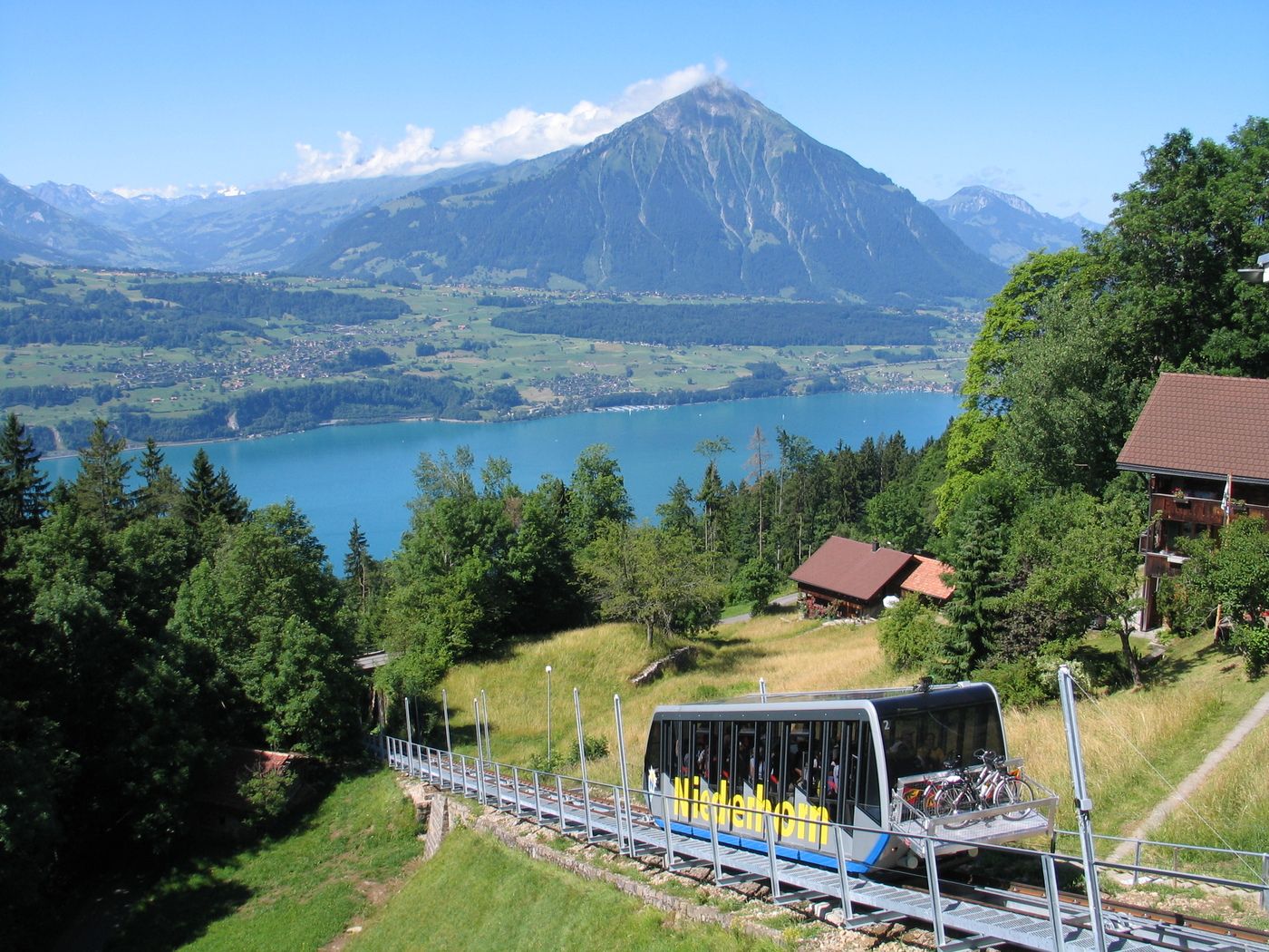
Thunersee
68
-
Beatenberg
18