

Dates des itinéraires
6,7km
782
- 833m
26hm
42hm
02:00h
- Brève description
-
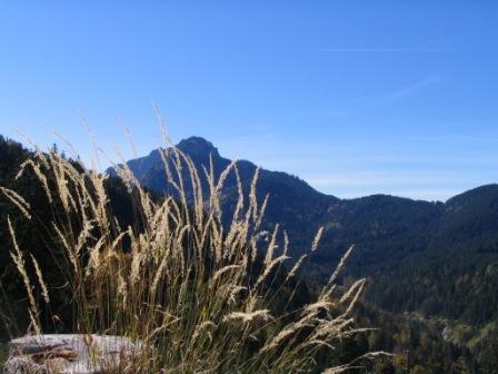
Wanderung durch die Trauchgauer Fluren.
- Difficulté
-
facile
- Évaluation
-
- Point de départ
-
Gästeinformation in Trauchgau, Dorfstr. 18
- Parcours
-
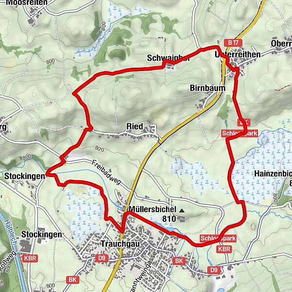
Trauchgau (792 m)Landgasthof Post0,0 kmAchkapelle0,1 kmUnterreithen2,8 kmSt. Michael2,8 kmGasthaus Sera2,9 kmSchwaighof3,6 kmTrauchgau (792 m)6,6 kmLandgasthof Post6,7 km
- Meilleure saison
-
janv.févr.marsavrilmaijuinjuil.aoûtsept.oct.nov.déc.
- Hauteur maximale
- 833 m
- Repos/Rassembler
-
Unterreithen Gasthof Sera, Badstüberl im Freibad, Gasthof Post in Trauchgau
- Cartes
-
Gästeinformation Halblech
GPS Downloads


Nature du chemin
Asphalte
Gravier
Pelouse
Forêt
Rocher
Exposé
Autres parcours dans les régions
-
Ostallgäu
1225
-
Halblech - Buching - Trauchgau
338


