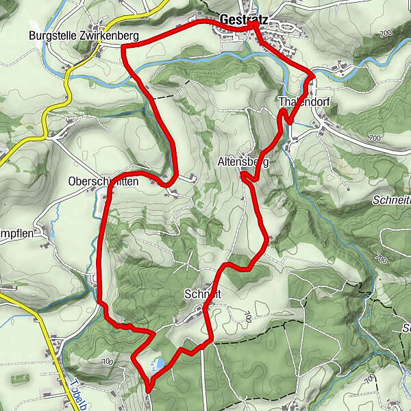
Of creeks, sawmills and old public swimming pools (around Gestratz/south loop) - West Allgaeu waterway 16

Randonnée

© Thomas Gretler

© Westallgäu Tourismus

© Westallgäu Tourismus
")
- Brève description
-
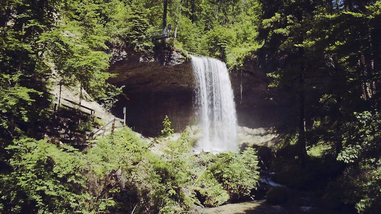
Basis of life, energy production, recreational function - the water topic includes many facets. You can see this on the contemplative tours no.15 (north loop) and no.16 (south loop) and round about Gestratz. These tours can be combined easily to a half-day hike.
- Parcours
-
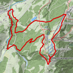
Gestratz (629 m)Zwirkenberg0,8 kmUnterschmitten1,7 kmOberschmitten2,2 kmKapelle4,6 kmSchneit4,7 kmKapelle5,6 kmAltensberg5,8 kmThalendorf6,6 kmGestratz (629 m)7,4 km
- Hauteur maximale
- 717 m
- Point de mire
-
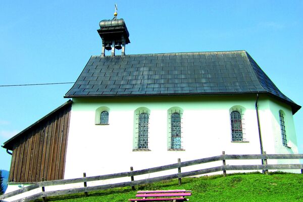
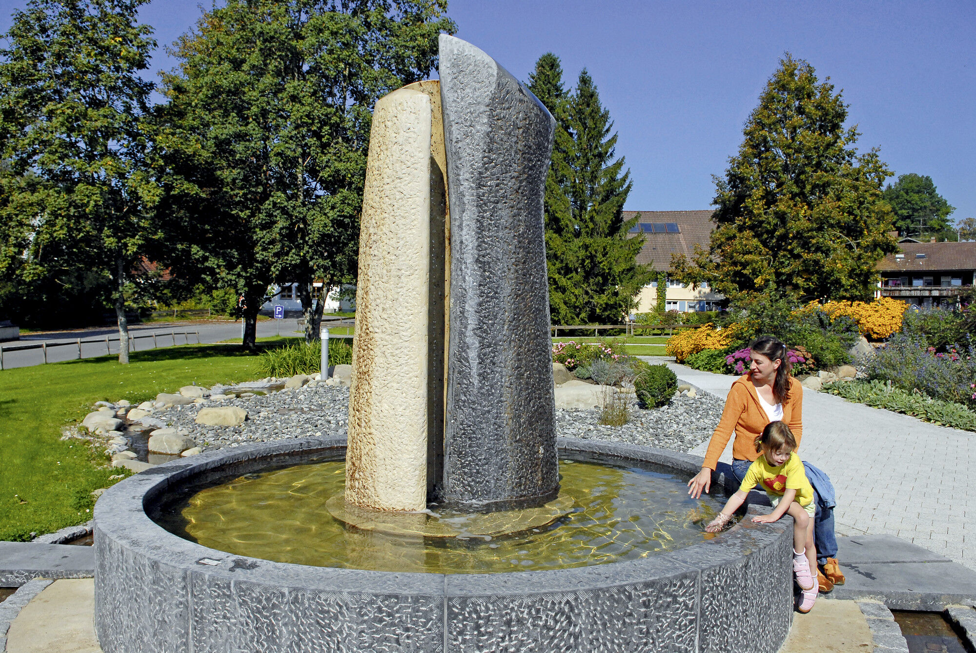
Water worlds Gestratz at the village square
- Profil en hauteur
-
 © outdooractive.com
- Auteur
-
La randonnée Of creeks, sawmills and old public swimming pools (around Gestratz/south loop) - West Allgaeu waterway 16 est utilisé par outdooractive.com fourni par.
GPS Downloads


Autres parcours dans les régions
-
Allgäu
2362
-
Westallgäu
1263
-
Gestratz
440