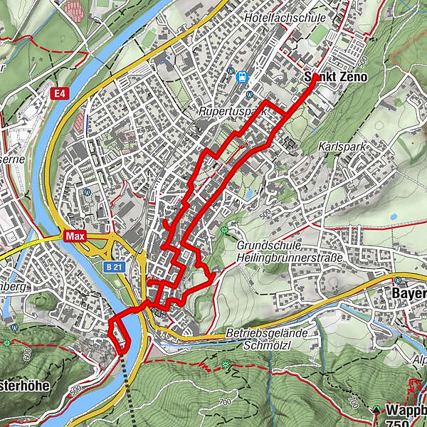
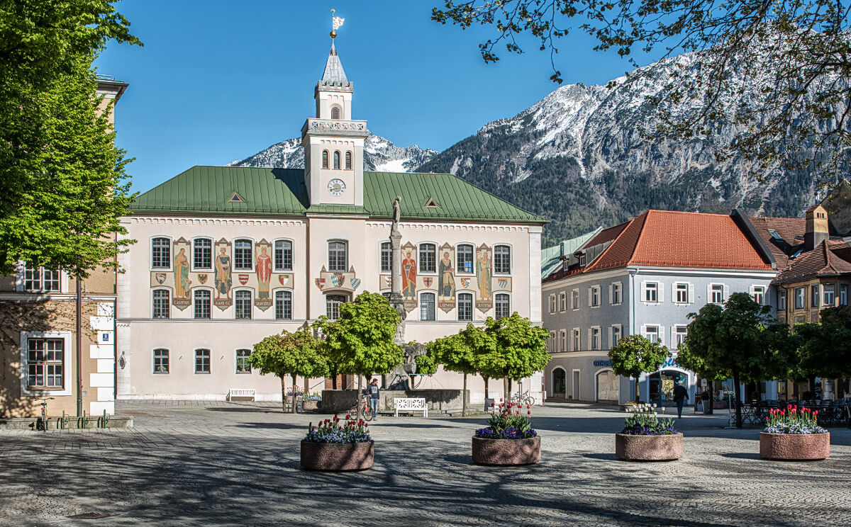
Historischer Stadtrundgang Bad Reichenhall

Chemin thématique

© Tourenportal Berchtesgadener Land - Bergerlebnis Berchtesgaden

© Tourenportal Berchtesgadener Land - Bergerlebnis Berchtesgaden

© Tourenportal Berchtesgadener Land - Bergerlebnis Berchtesgaden

© Tourenportal Berchtesgadener Land - Bergerlebnis Berchtesgaden

© Tourenportal Berchtesgadener Land - Bergerlebnis Berchtesgaden

© Tourenportal Berchtesgadener Land - Bergerlebnis Berchtesgaden

© Tourenportal Berchtesgadener Land

© Tourenportal Berchtesgadener Land - Bergerlebnis Berchtesgaden

© Tourenportal Berchtesgadener Land - Bergerlebnis Berchtesgaden

© Tourenportal Berchtesgadener Land
Dates des itinéraires
6,16km
463
- 506m
32hm
36hm
01:30h
- Brève description
-
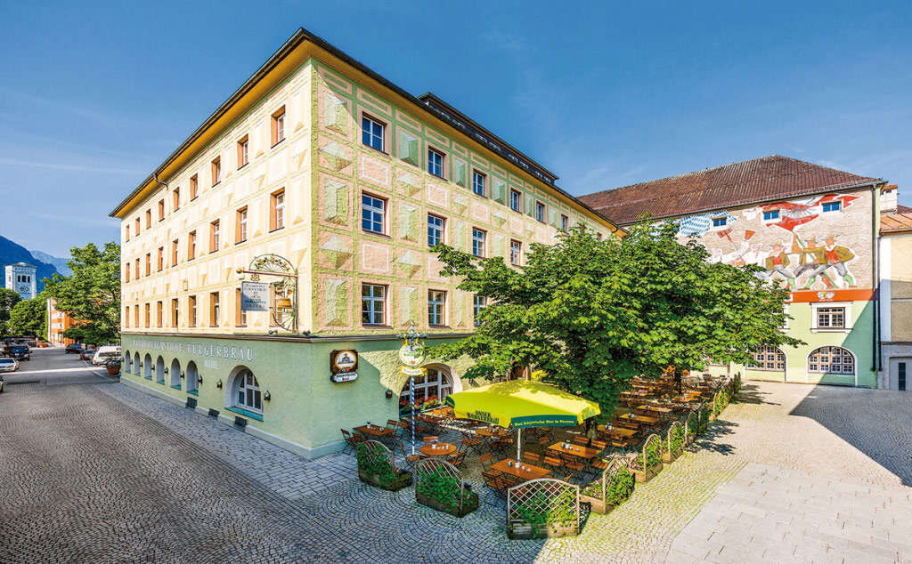
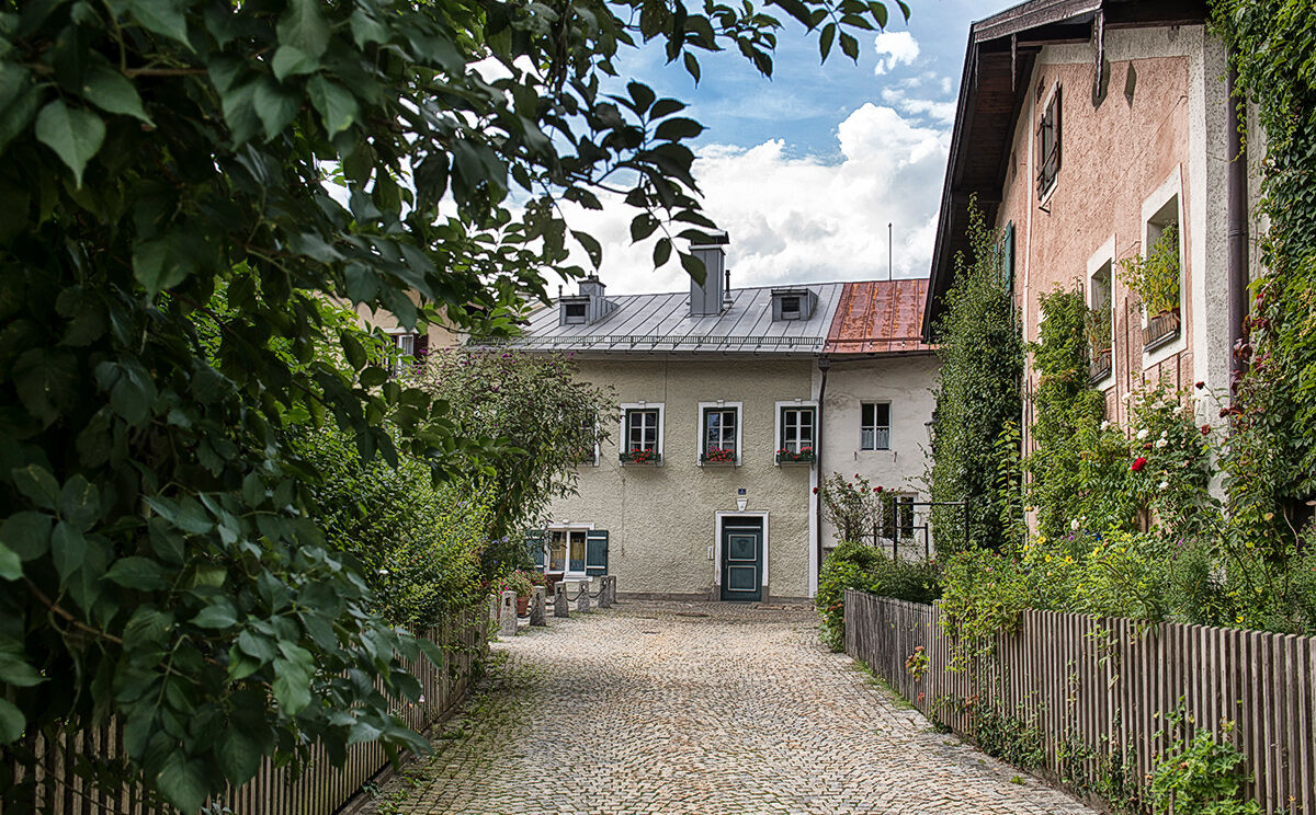
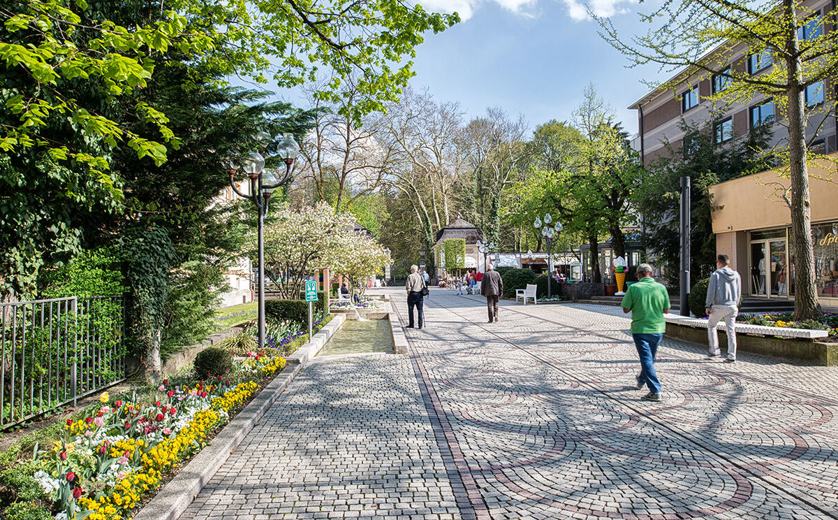
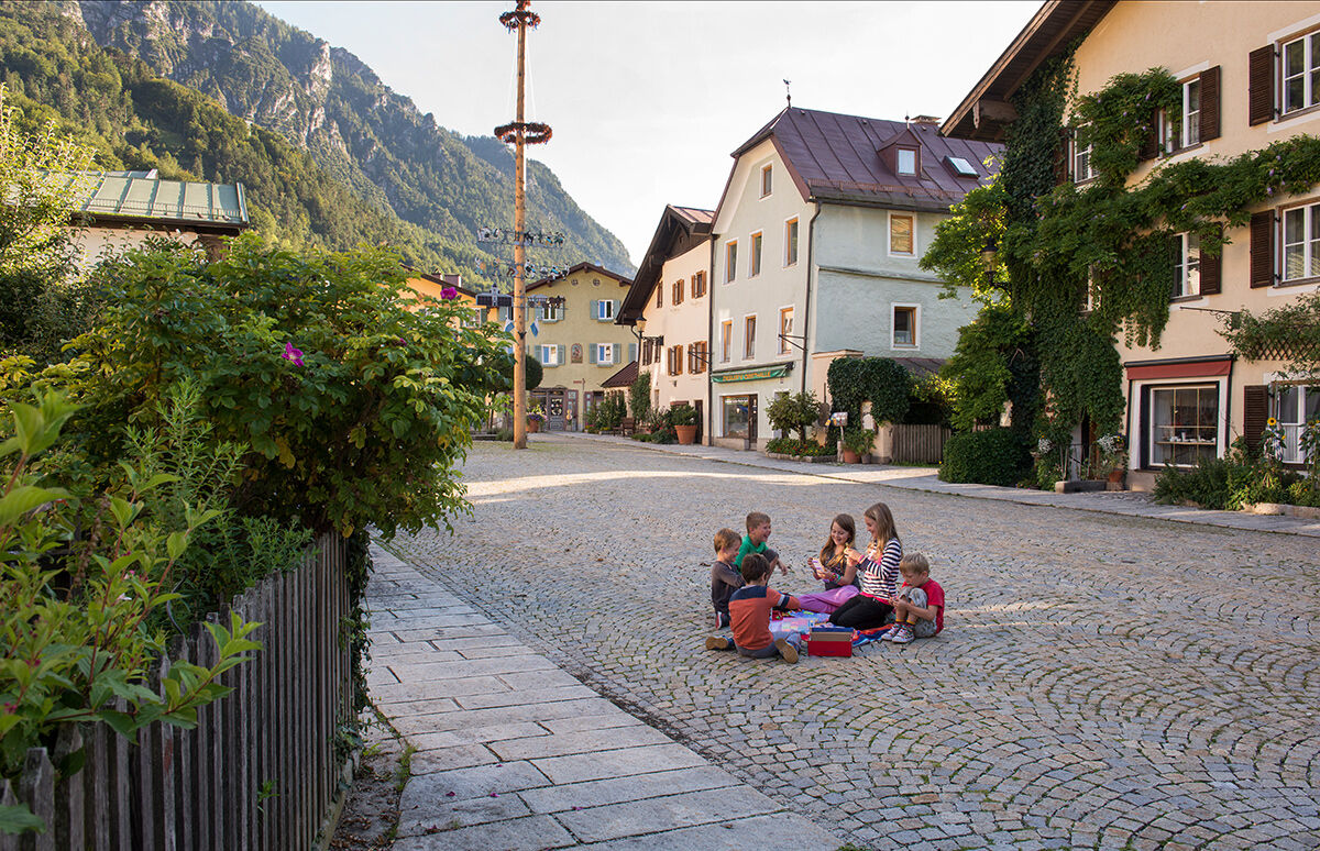
Historischer Rundgang durch den Stadtkern von Bad Reichenhall mit Besichtigungsmöglichkeit bedeutender Sehenswürdigkeiten.
- Difficulté
-
facile
- Évaluation
-
- Parcours
-
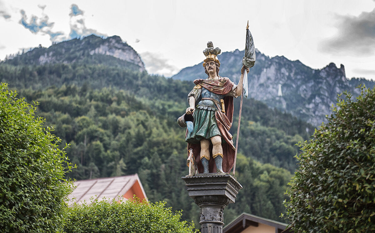
Bad Reichenhall (473 m)0,1 kmSt. Nikolaus0,6 kmFreie Christengemeinde Bad Reichenhall0,7 kmSankt Zeno3,9 kmEvangelische Stadtkirche5,1 kmSpitalkirche St. Johannes5,5 kmSt. Ägidius5,9 km
- Meilleure saison
-
janv.févr.marsavrilmaijuinjuil.aoûtsept.oct.nov.déc.
- Hauteur maximale
- 506 m
- Point de mire
-
Floriani Platz, Bad Reichenhall
- Profil en hauteur
-
 © outdooractive.com


- Auteur
-
La randonnée Historischer Stadtrundgang Bad Reichenhall est utilisé par outdooractive.com fourni par.
GPS Downloads


Informations générales
Point de rassemblement
Culturel/Historiquement
Autres parcours dans les régions
-
Berchtesgadener Land
1580
-
Bad Reichenhall
540