© GaPa Tourismus GmbH - Christian Ruf

- Brève description
-
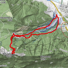
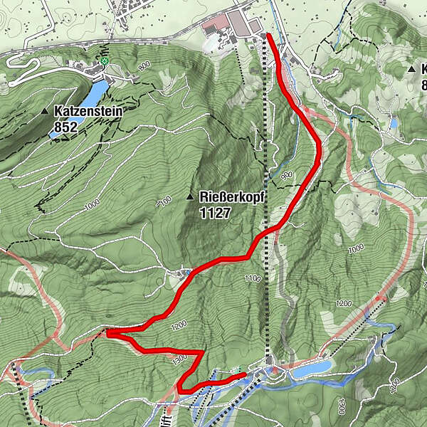
The new skiing tour route starts at the base terminal of the Hausbergbahn cable car and leads in the direction of the "Horn" skiing slope, continuing via the "Standard-Tonihütten" skiing slope and up to the top of the mountain.
- Difficulté
-
moyen
- Évaluation
-
- Parcours
-
Garmisch-Partenkirchen (708 m)Rießerkopf Haus (Toni Hütte)1,9 kmGarmischer Haus4,0 km
- Meilleure saison
-
aoûtsept.oct.nov.déc.janv.févr.marsavrilmaijuinjuil.
- Hauteur maximale
- 1.343 m
- Point de mire
-
Hausberg
- Profil en hauteur
-
 © outdooractive.com

- Auteur
-
La randonnée To the Hausberg est utilisé par outdooractive.com fourni par.
GPS Downloads


Informations générales
Point de rassemblement
Prometteur
Autres parcours dans les régions