
")
- Brève description
-
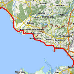
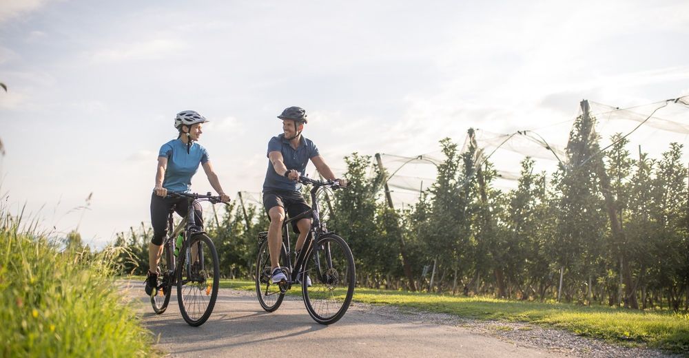
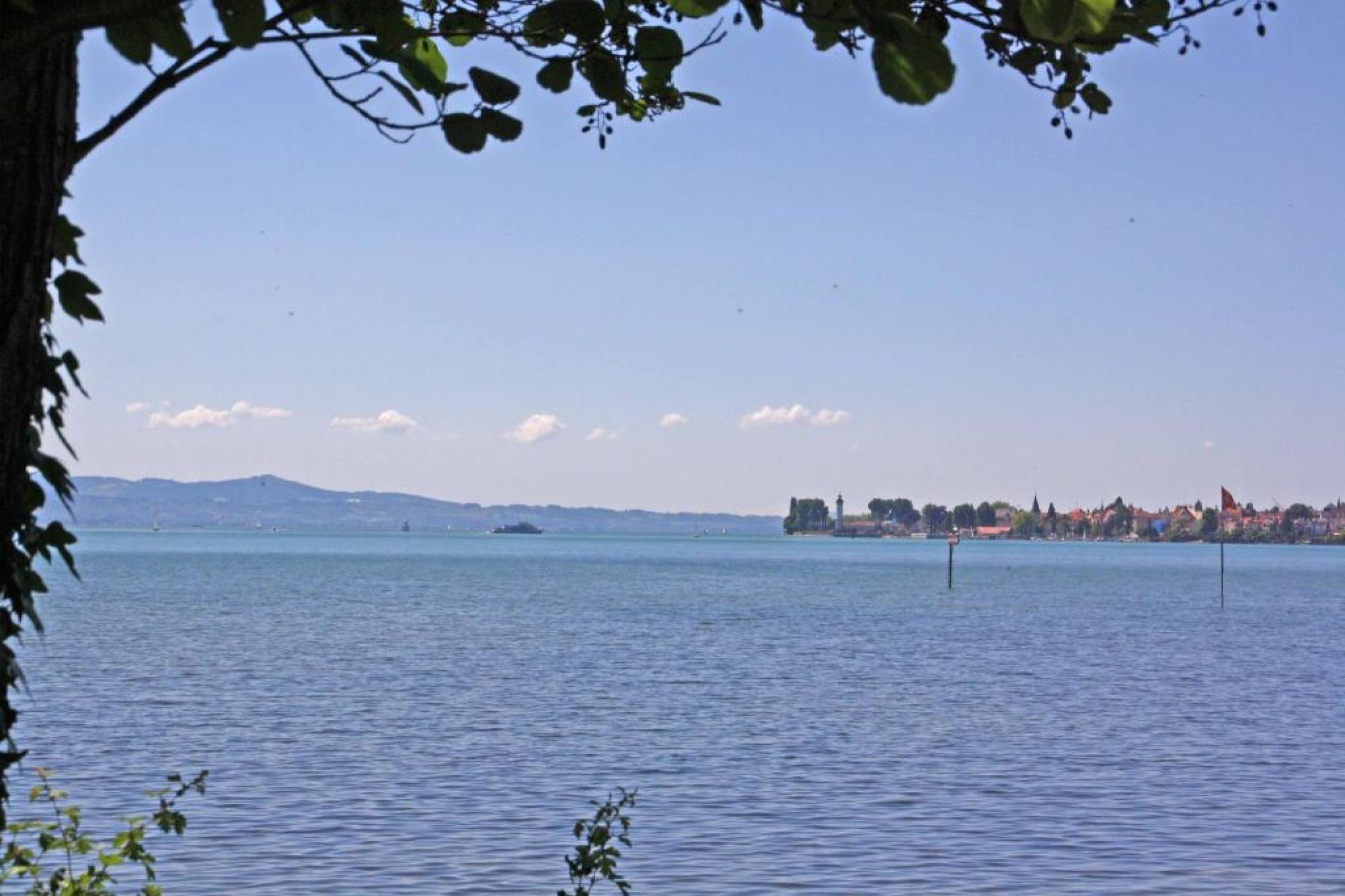
The tour through the Leiblach valley leads us from the island of Lindau to Hergensweiler. We can experience marvellous views and cross orchards and have not only the opportunity to set in, but also to swim.
- Difficulté
-
moyen
- Évaluation
-
- Parcours
-
Lindau (Bodensee) (401 m)0,0 kmReutin1,0 kmOberhochsteg4,9 kmHörbranz5,7 kmHangnach6,4 kmHubers7,9 kmLaiblachsberg8,6 kmThumen9,5 kmSigmarszell10,1 kmBiesings10,2 kmHagers12,4 kmSonne13,0 kmHergensweiler13,0 kmMollenberg15,3 kmHeimholz16,3 kmBiesings16,4 kmSchlachters17,2 kmWeißensberg19,0 kmOberhof19,1 kmStreitelsfingen20,9 kmMotzach21,8 kmOberreutin22,2 kmLindau (Bodensee) (401 m)24,1 km
- Meilleure saison
-
janv.févr.marsavrilmaijuinjuil.aoûtsept.oct.nov.déc.
- Description
-
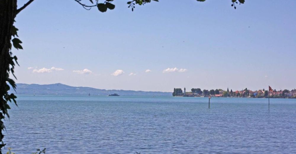
This attractive tour in respect of the landscape starts at the roundabout infront of the pier to the island of Lindau. During the tour we follow the mark no.2. We start our tour on a cycle track heading east withn the lakeside on our right. We get past the island and drive along the lakeside.
Via Ladestraße and Eichwaldstraße we pass the lido and reach Zech, a part of Lindau.
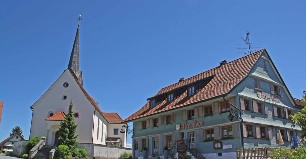
We leave the lakeside, crossing the railroad onto Bregenzer Straße and enjoy the vast orchards of the region on well-developed roads. Soon, the Leiblach flows in smooth loops on our right. We share a part of the track with the well-known Bodensee-Königssee cycle track but then we stay on the "Leiblach valley tour". In Hergensweiler, the far eastern point of our tour, there are several opportunities to set in and take a bite.
With refreshed strength we continue our auspicious tour and we can enjoy the best view to Bregenz. We pass a railway line before reaching Mollenberg and shortly after that we reach the village of Schlachters. We are accompanied by the characteristic orchards along the main street, which we leave at the height of a yellow painted baroque manor to the left.
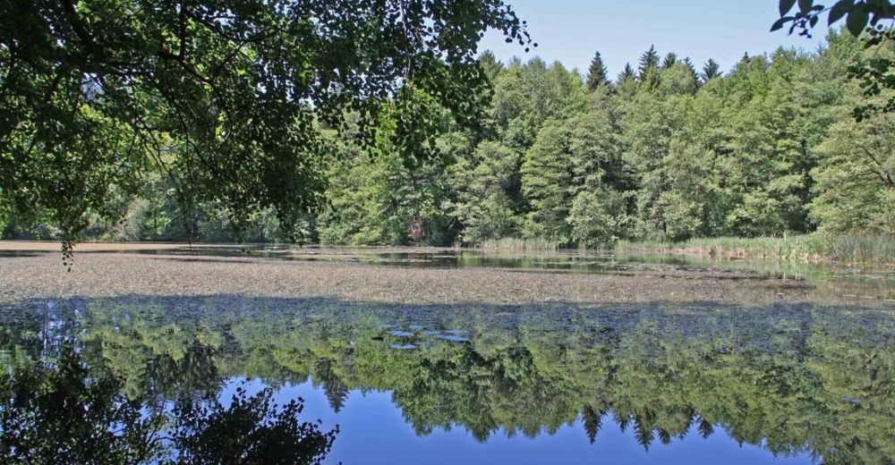
Soon, we cross a small woodland where the idyllic pond of Schlachters is located. The pristine pond invites you to a cool bath. We cross the motorway A 96 on a bridge and overcome a slight ascent beneath shady foliage which will be replaced by a fruit growing area, later on. We turn to the left and cross the main road via an underpass. We start the comfortable descent accompanied by marvelous views of the cultural landscape.
Behind Streitelsfingen we are driving on a cycle path, after that, we are on the road “Motzacher Weg” until we finally drive again through idyllic orchards on the road “Bleicheweg”.
On the right hand side we cross the Oberreitnauer Ach and reach the road “Hundweiler Straße” which leads us back to our starting point. Alternative starting points are the villages Hergensweiler and Schlachters.
- Hauteur maximale
- 537 m
- Profil en hauteur
-
 © outdooractive.com


- Auteur
-
La randonnée Leiblachtal-Runde est utilisé par outdooractive.com fourni par.