
© OOCR Stredné Slovensko - Barbora Rekšáková
© OOCR Stredné Slovensko - Barbora Rekšáková
© OOCR Stredné Slovensko - Barbora Rekšáková
© OOCR Stredné Slovensko - Barbora Rekšáková
© OOCR Stredné Slovensko - Barbora Rekšáková
© OOCR Stredné Slovensko - Barbora Rekšáková
© OOCR Stredné Slovensko - Barbora Rekšáková
© OOCR Stredné Slovensko - Barbora Rekšáková
- Brève description
-
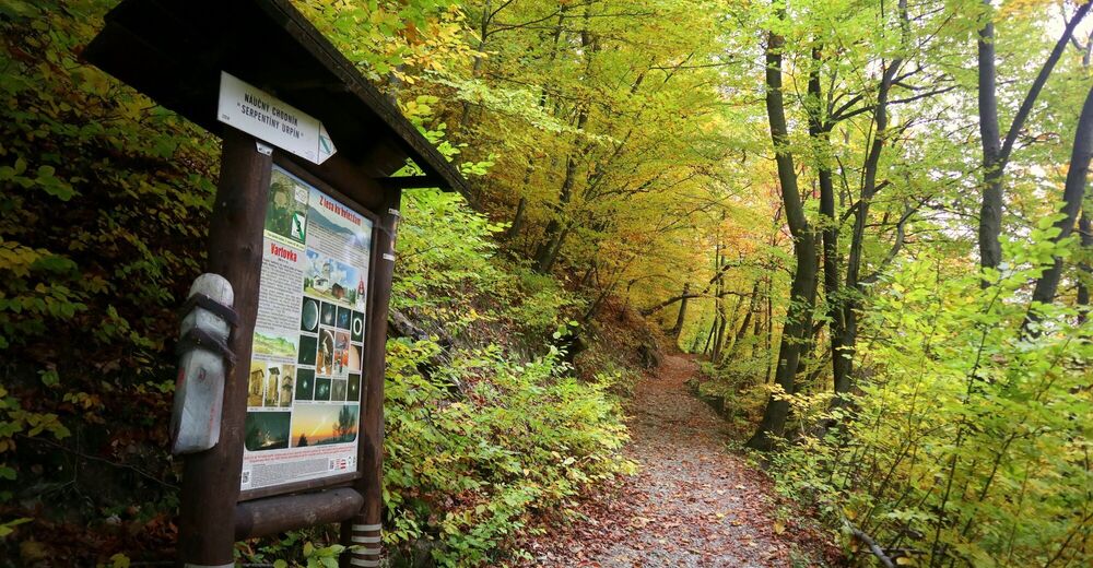
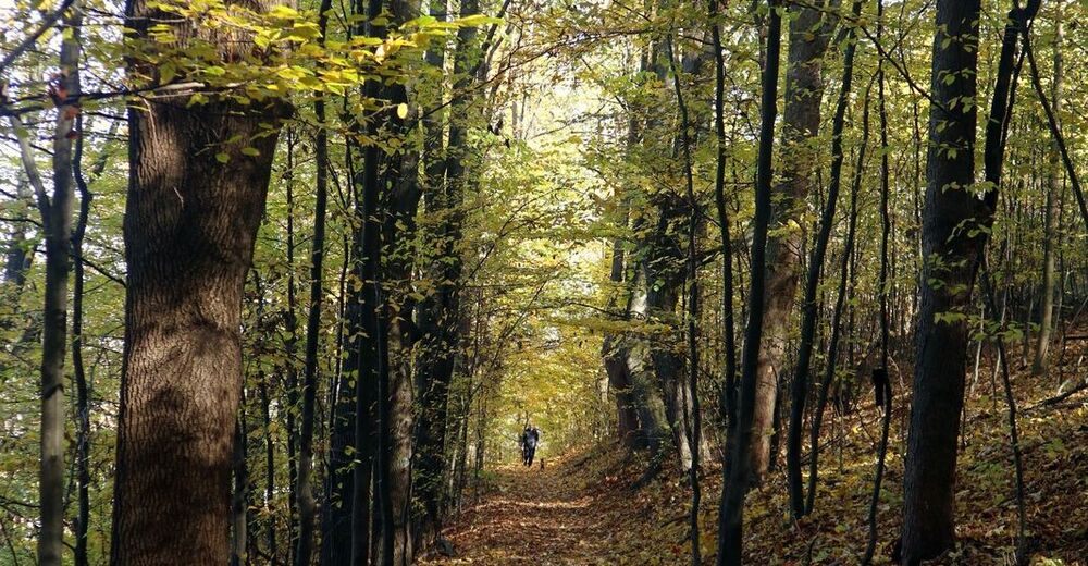
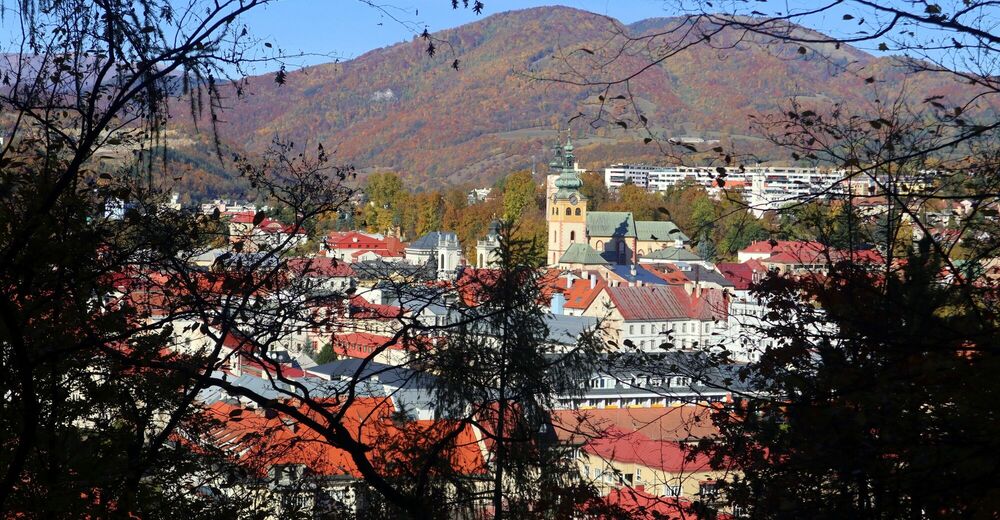
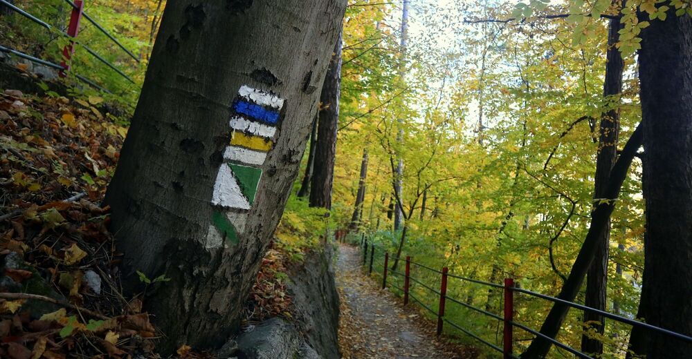
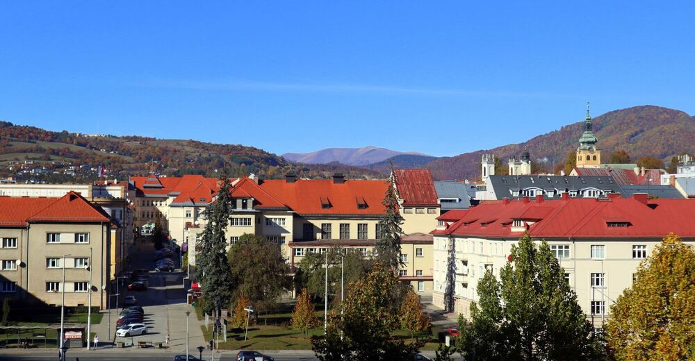
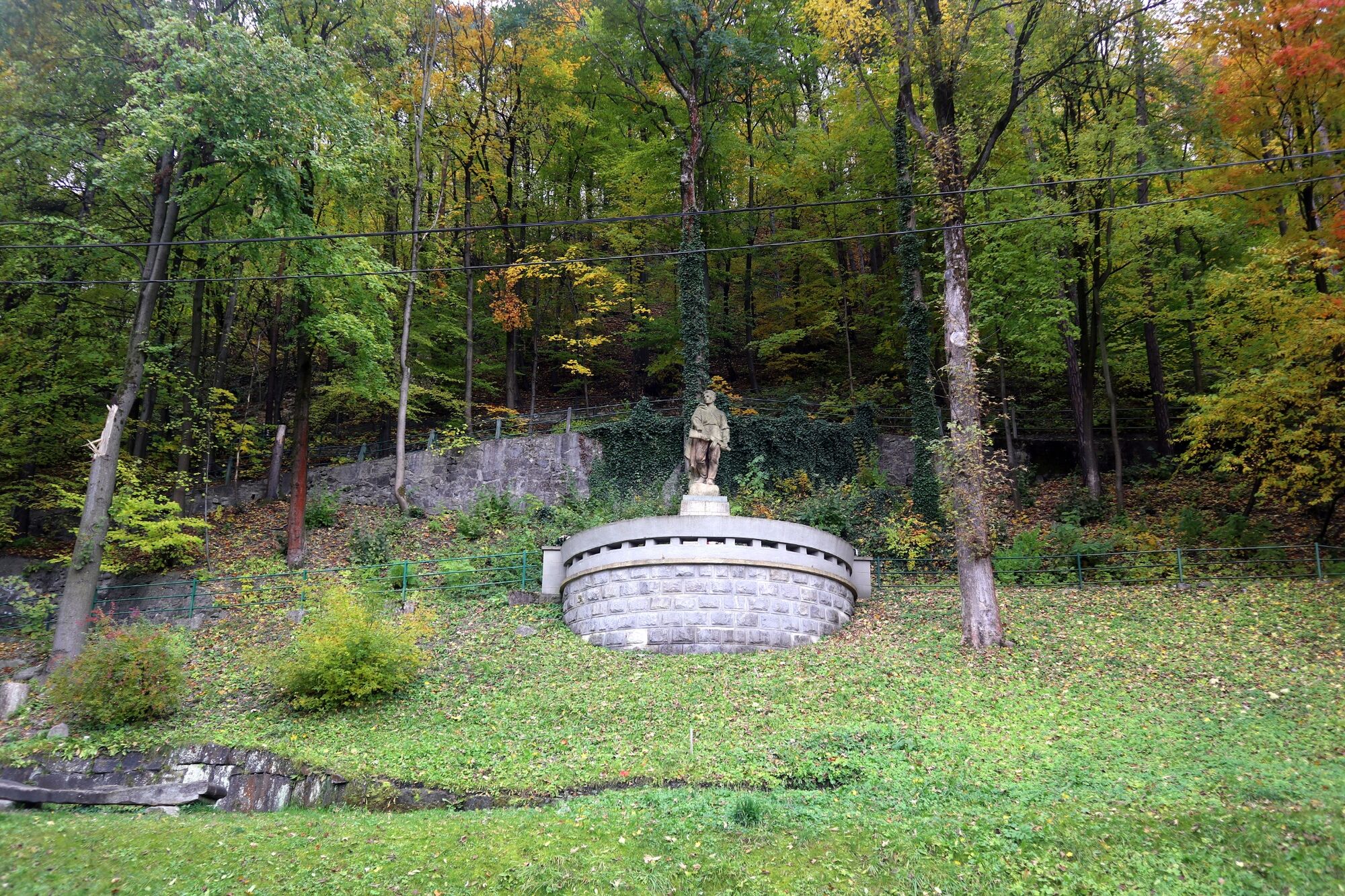
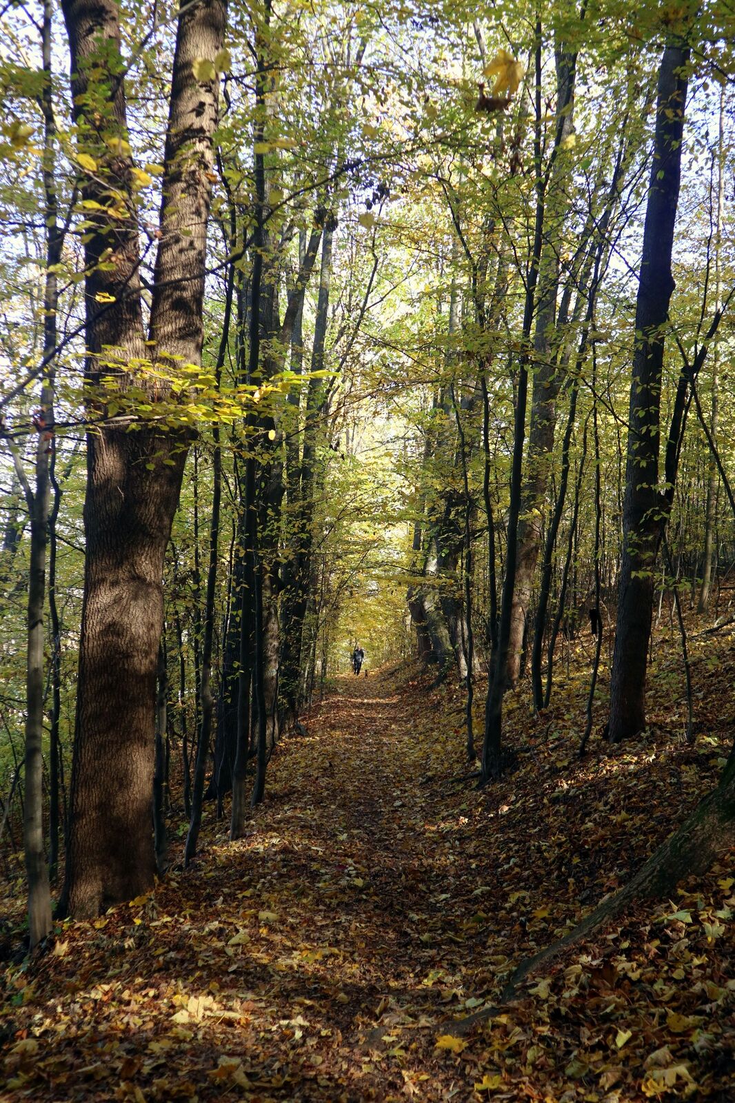
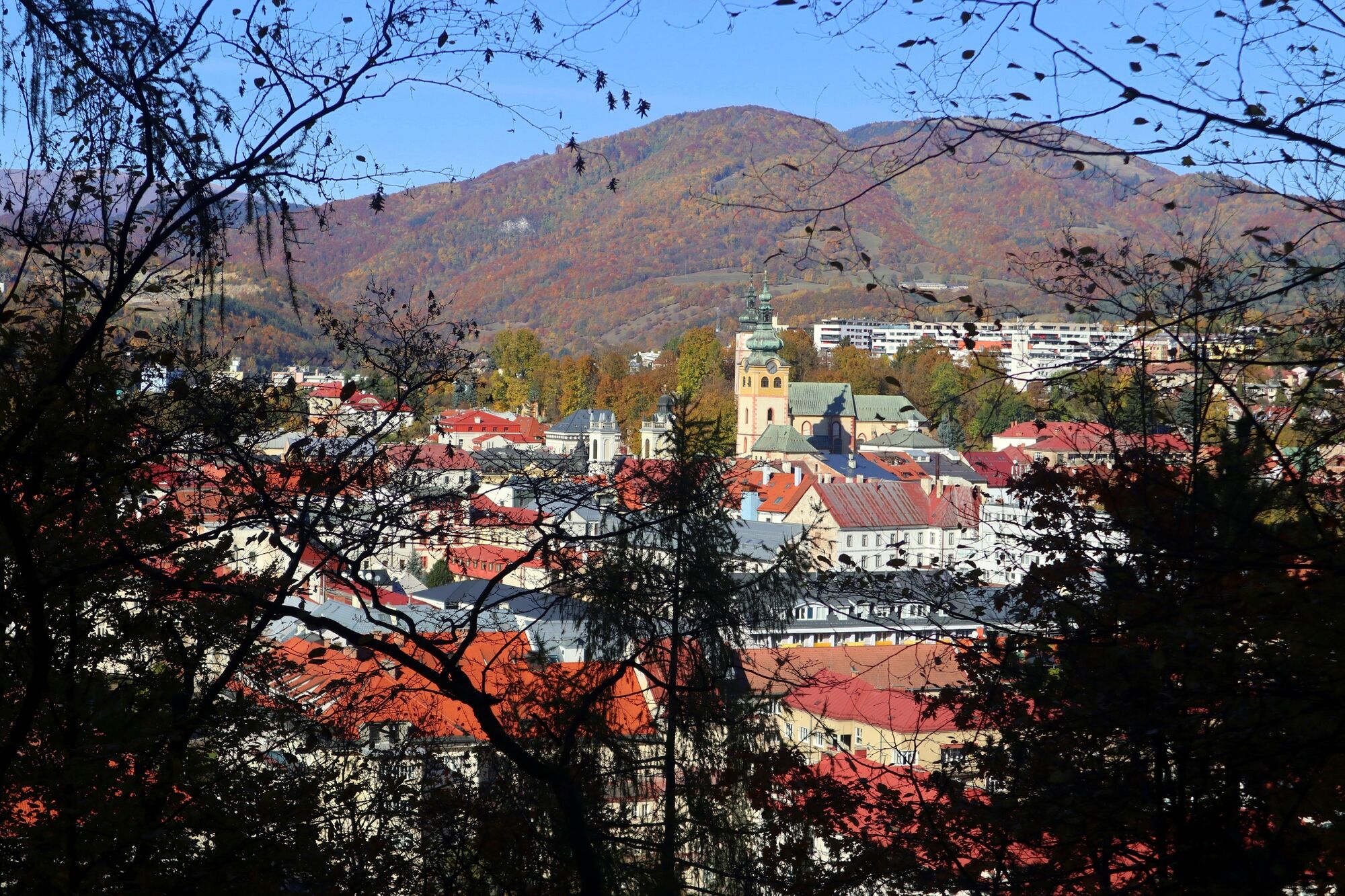
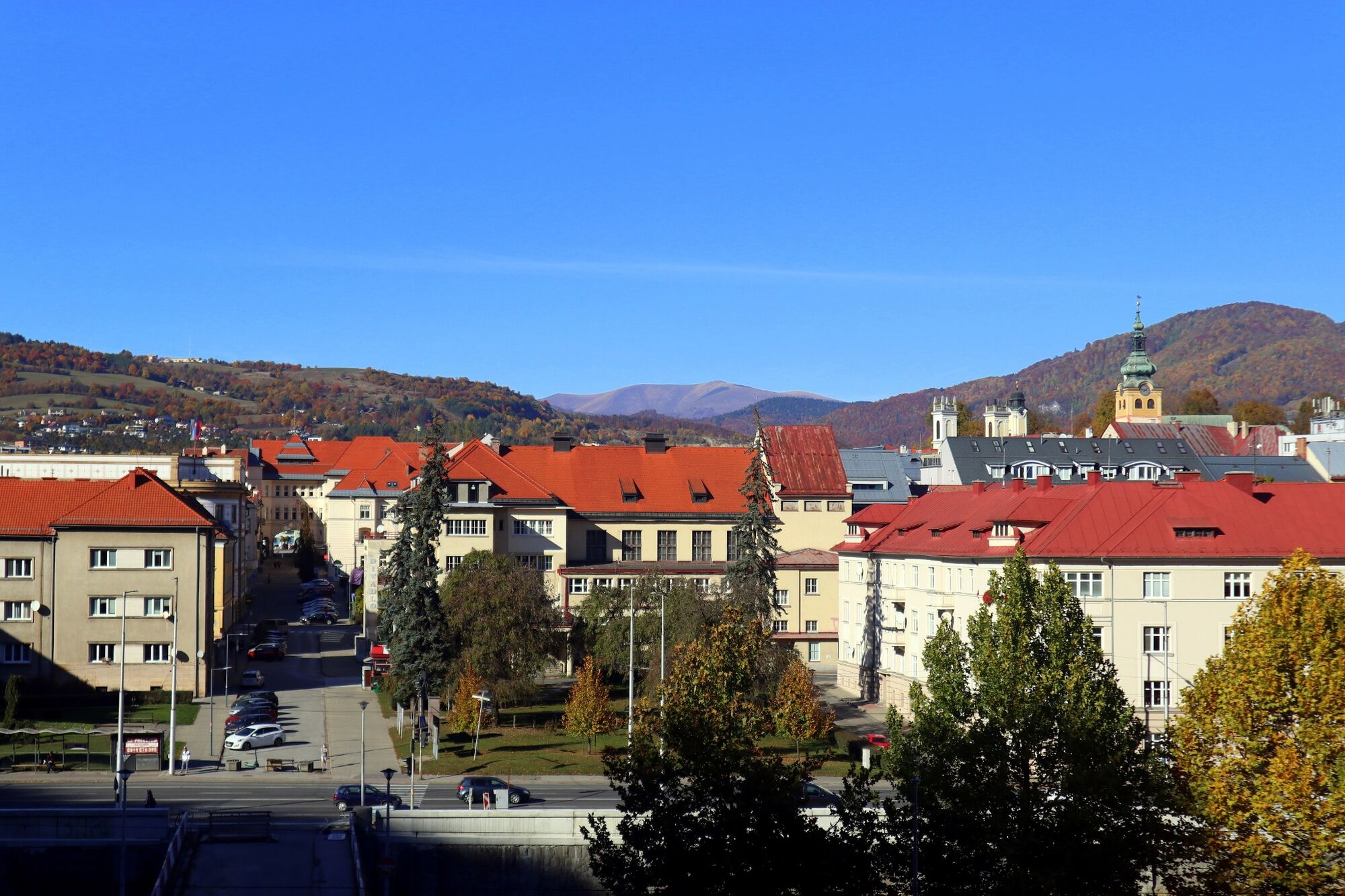
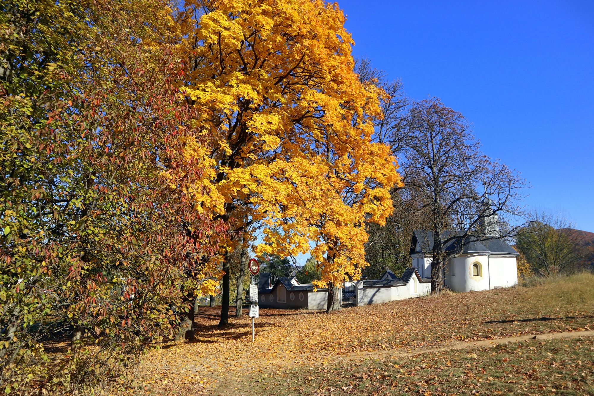
A winding path, Urpín Serpentines, leads to the famous Urpín Hill which boasts above Banská Bystrica. Did you know that the first written record of Urpín Hill dates back to 1287? This and much more can be learned while wandering along the nature trail, which has 12 educational boards. You will experience beautiful views of Banská Bystrica and will not miss the Banská Bystrica Observatory.
- Difficulté
-
facile
- Évaluation
-
- Parcours
-
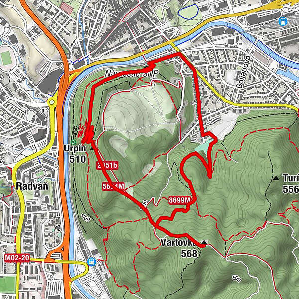
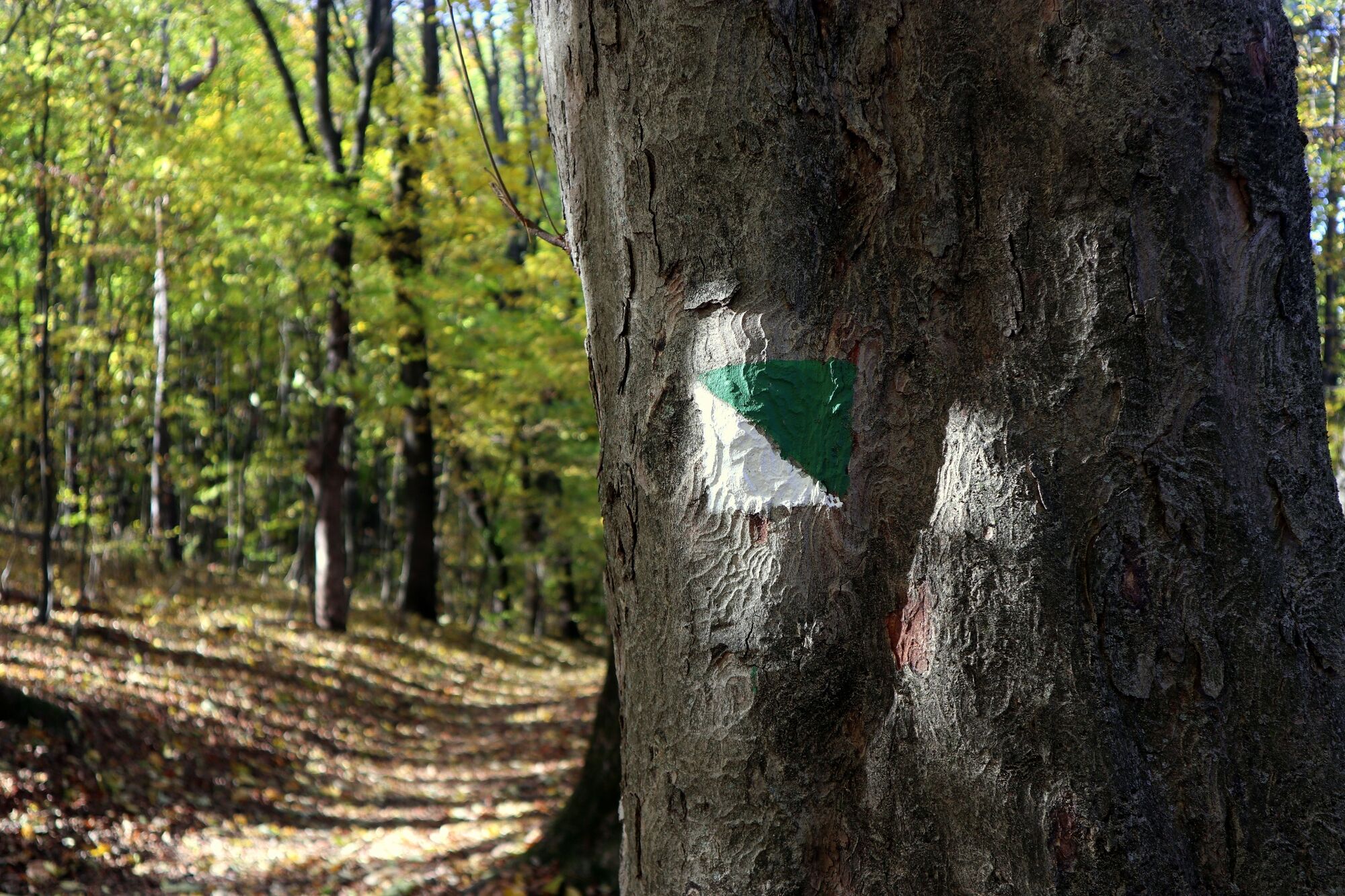
Urpín, vyhliadka1,7 kmUrpín (510 m)1,8 kmVartovka (568 m)3,1 kmUhlisko5,8 kmBanská Bystrica (332 m)6,1 km
- Meilleure saison
-
janv.févr.marsavrilmaijuinjuil.aoûtsept.oct.nov.déc.
- Hauteur maximale
- 557 m
- Point de mire
-
Skokanský mostík na Žltých pieskoch
- Profil en hauteur
-
 © outdooractive.com


- Auteur
-
La randonnée Urpín Serpentines est utilisé par outdooractive.com fourni par.
GPS Downloads


Informations générales
Culturel/Historiquement
Flore
Faune