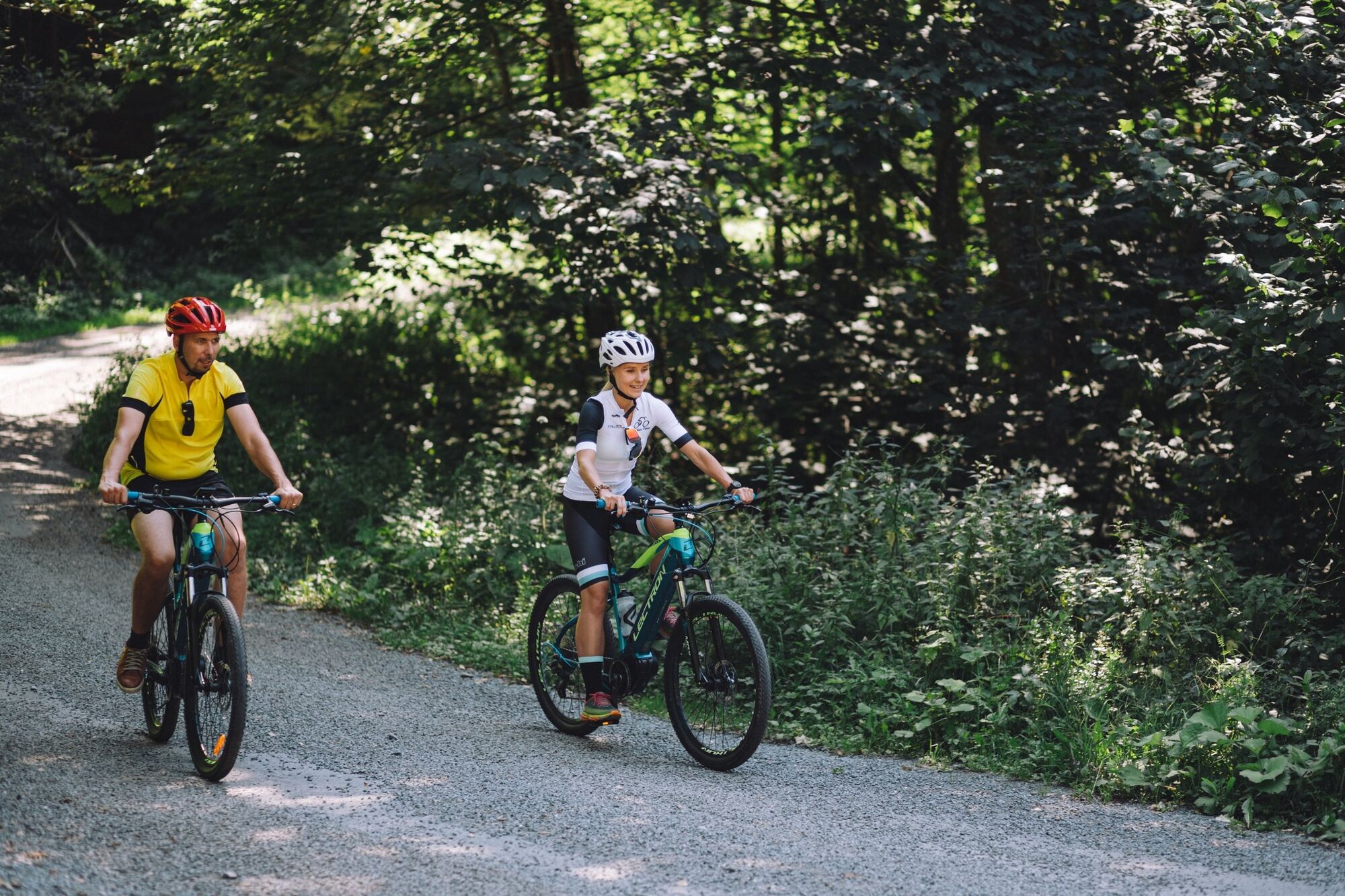
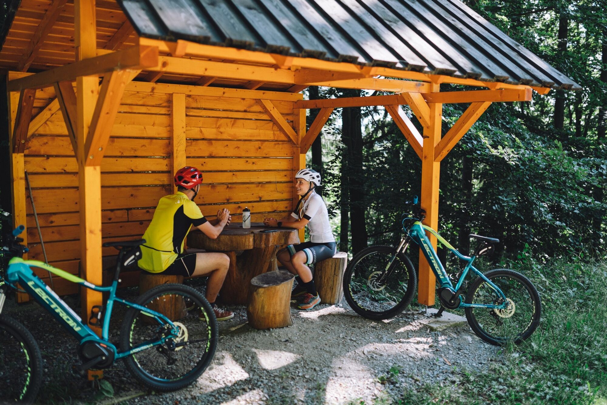
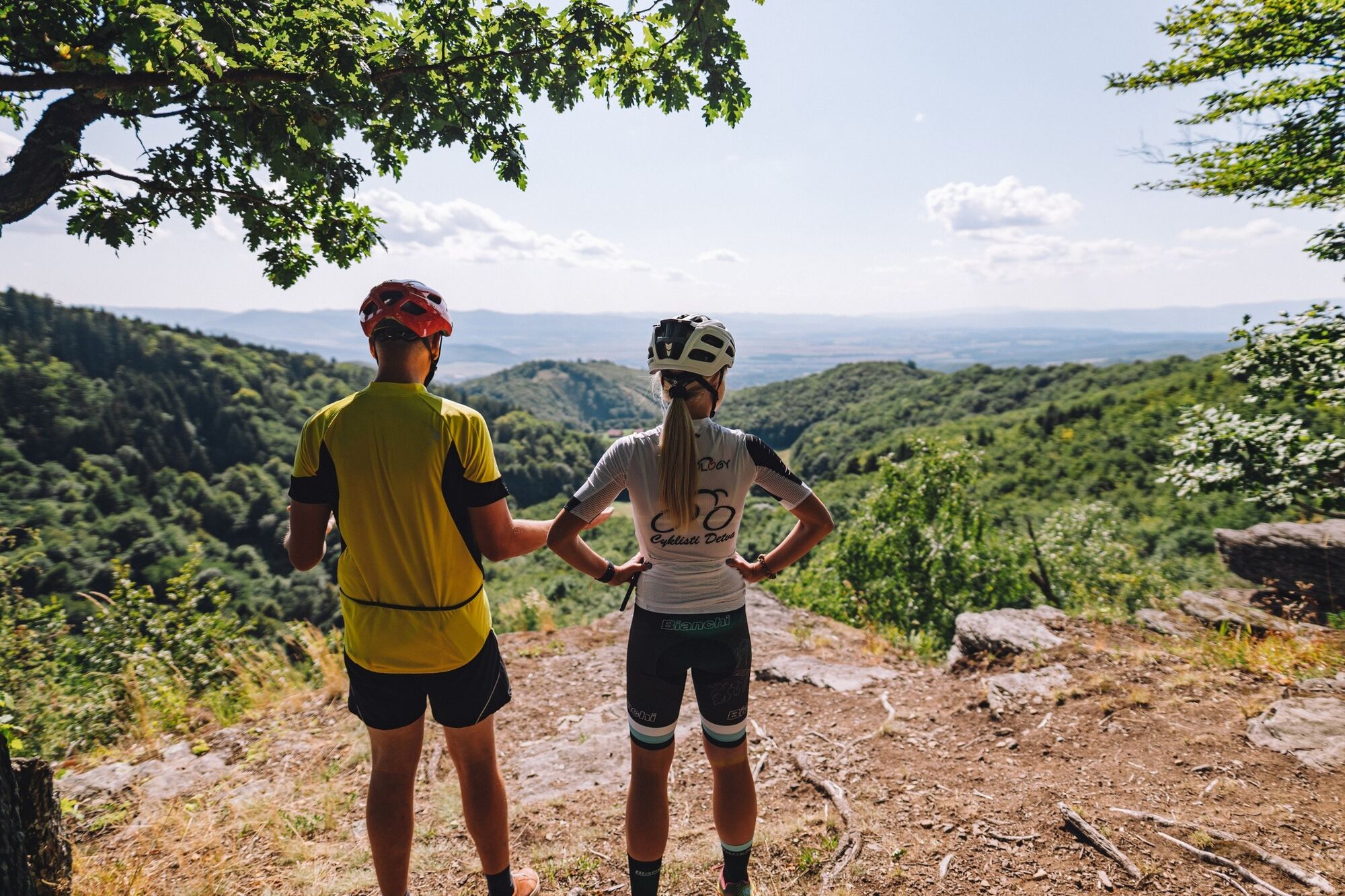
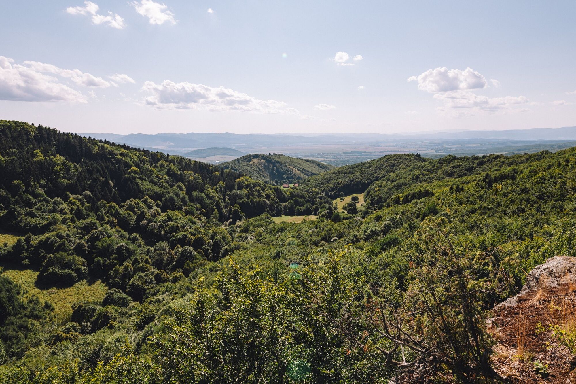
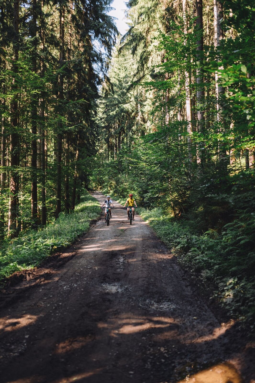
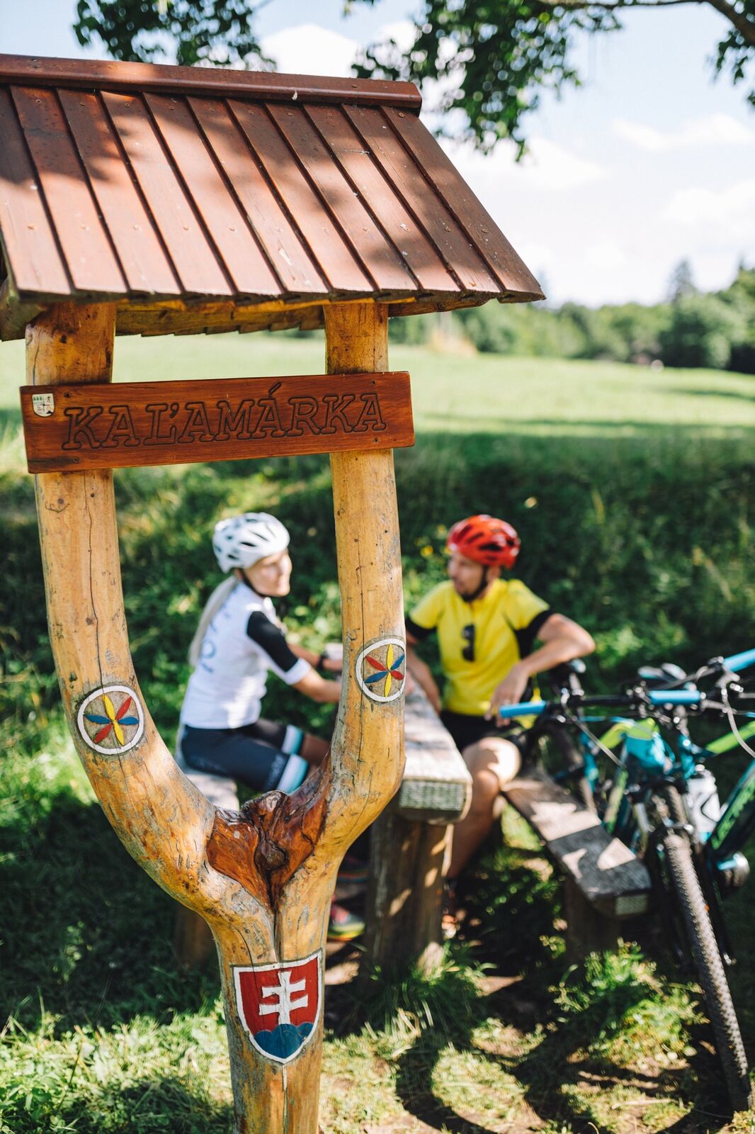
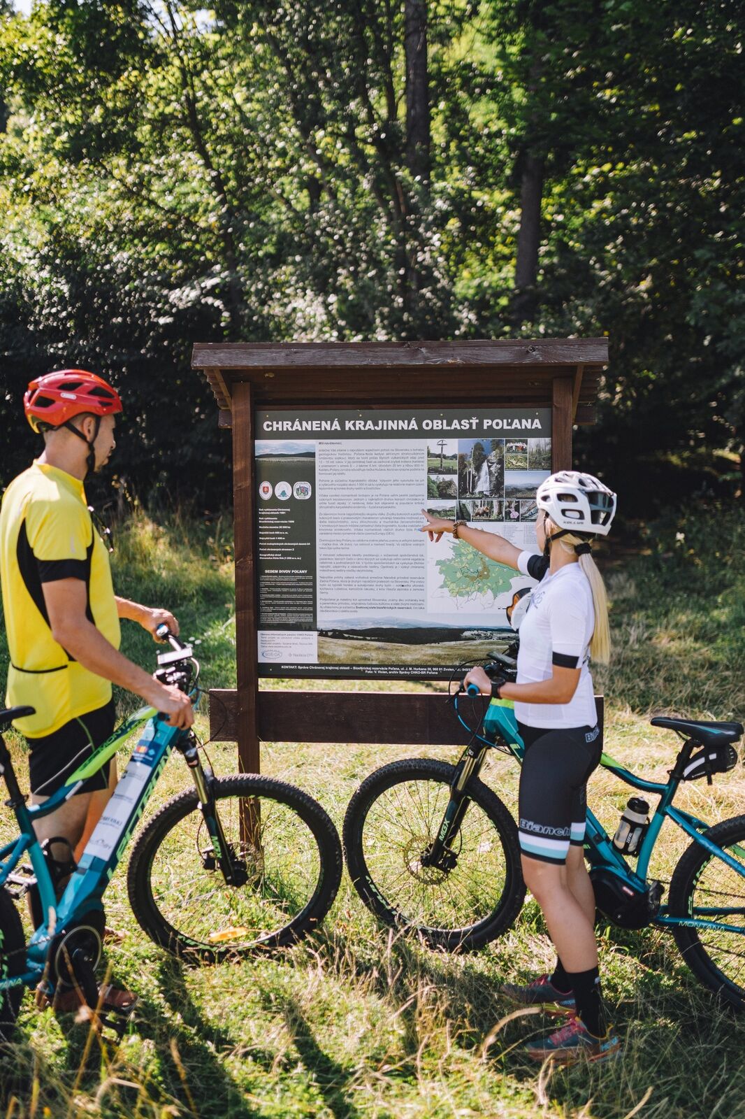
The Landscape Created By The Volcano - From Detva To Boriak's Rock

Piste cyclable longue distance

© Banskobystrický kraj Turizmus - Michal Berák

© Banskobystrický kraj Turizmus - Michal Berák

© Banskobystrický kraj Turizmus - Michal Berák

© Banskobystrický kraj Turizmus - Michal Berák
© Banskobystrický kraj Turizmus - Michal Berák

© Banskobystrický kraj Turizmus - Michal Berák
© Banskobystrický kraj Turizmus - Michal Berák

© Banskobystrický kraj Turizmus - Michal Berák

© Banskobystrický kraj Turizmus - Michal Berák
- Brève description
-
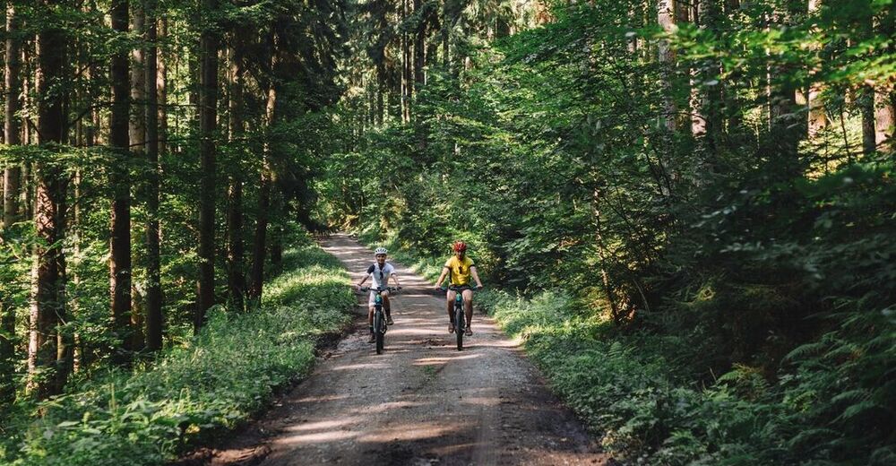
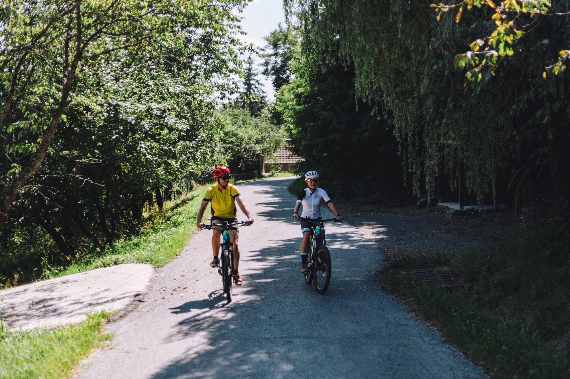
A cycle trip that will soothe the cyclist's heart and, thanks to the beautiful views, caress the soul
- Difficulté
-
difficile
- Évaluation
-
- Parcours
-
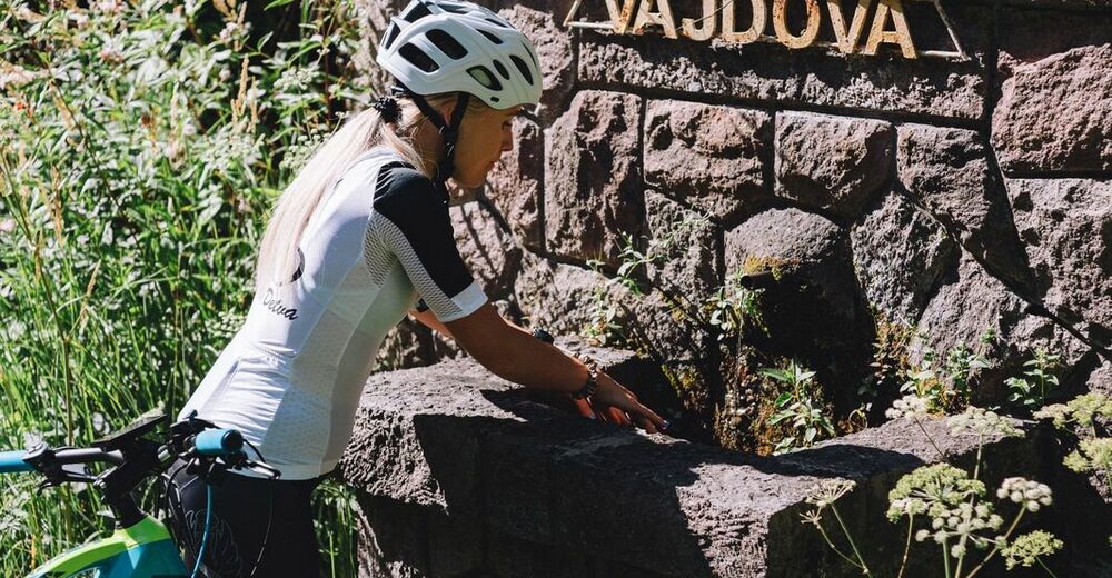
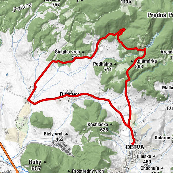
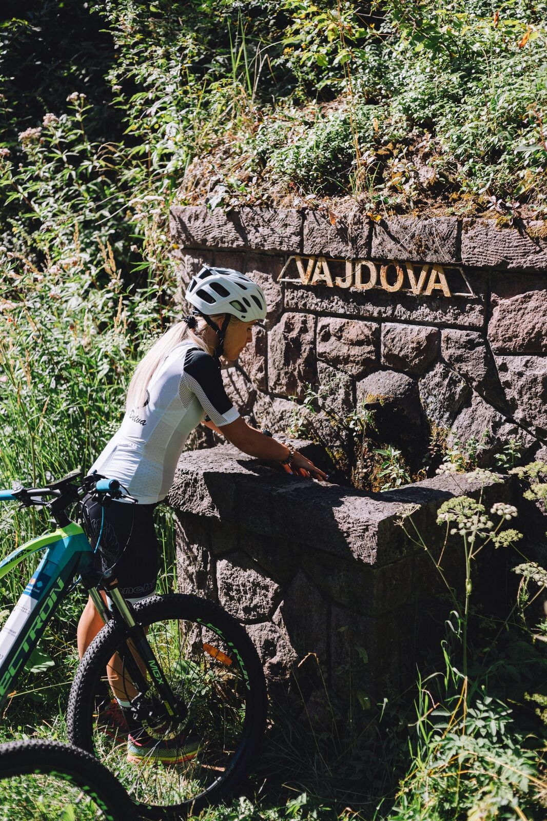
Detva (457 m)Kostolná2,0 kmDúbravy (486 m)4,2 kmKostol Sedembolestnej Panny Márie4,4 kmHradná7,0 kmŽelobudza7,5 kmIviny13,0 kmVajdova17,0 kmDetva (457 m)24,3 km
- Meilleure saison
-
janv.févr.marsavrilmaijuinjuil.aoûtsept.oct.nov.déc.
- Hauteur maximale
- 833 m
- Point de mire
-
Detva - Námestie SNP
- Profil en hauteur
-
 © outdooractive.com
-

-
AuteurLa randonnée The Landscape Created By The Volcano - From Detva To Boriak's Rock est utilisé par outdooractive.com fourni par.
GPS Downloads


Informations générales
Faune
Prometteur