San Lazzaro bridge - Val Larghe (SAT footpath 472)

Randonnée

© Consorzio Turistico Piana Rotaliana Königsberg - Dario Sebastiani

© Consorzio Turistico Piana Rotaliana Königsberg - Dario Sebastiani

- Brève description
-
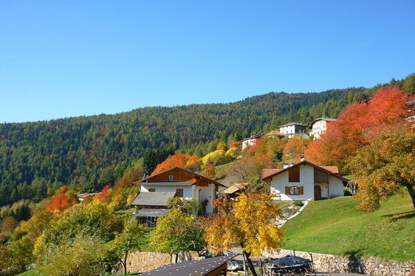
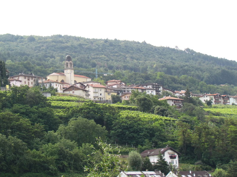
The path goes from the San Lazzaro bridge to the junction with path 420 in the hamlet of Val Larghe near Montevaccino.
- Difficulté
-
moyen
- Évaluation
-
- Parcours
-
LavisSan Lazzaro di Meano (232 m)0,1 kmNuova Gazzadina1,3 kmVigo Meano2,5 kmLe Gorghe3,9 kmAgli Orti4,3 km
- Meilleure saison
-
janv.févr.marsavrilmaijuinjuil.aoûtsept.oct.nov.déc.
- Hauteur maximale
- 839 m
- Point de mire
-
Boschi Val Larghe woods (intersection 420, 834 m)
- Profil en hauteur
-
 © outdooractive.com

- Auteur
-
La randonnée San Lazzaro bridge - Val Larghe (SAT footpath 472) est utilisé par outdooractive.com fourni par.
GPS Downloads


Informations générales
Climat thérapeutique
Autres parcours dans les régions